22 results
Geography laboratories $5-10
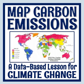
Climate Change Activity Mapping Carbon Emissions NGSS MS-ESS3-5 ESS3-4
Students use real data to color-code a map of 68 countries based on their per capita carbon emissions. In this activity, students will:READ a 1-page article about greenhouse gases, carbon dioxide, what per capita means, and the activity directions. CONSTRUCT a World Map by attaching 2 provided pages (it's easy!).COLOR CODE countries on the map according to their per capita carbon emissions. ANSWER 11 analysis questions focusing on the greenhouse effect, sources of carbon emissions, and how de
Subjects:
Grades:
7th - 10th
Types:
NGSS:
MS-ESS3-5
, MS-ESS3-4
, HS-ESS3-5
, HS-ESS3-4
Also included in: Global Warming Climate Change Activity Bundle NGSS MS-ESS3-5 ESS3-4
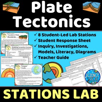
Plate Tectonics Lab Stations - Student-Led Stations Lab
⭐ ⭐ ⭐ ⭐ Student-led lab stations are a great way to get your kids moving and interacting with content in a variety of fun ways! Students will learn, interact, investigate, analyze, and engage with plate tectonics and continental drift! These eight stations focus on plate tectonics, convection currents, sea-floor spreading, continental drift, plate boundaries, types of crust, and tectonic plates. All stations are neatly presented, have easy to understand directions, and require minimal prep from
Subjects:
Grades:
8th - 12th
Types:
NGSS:
MS-ESS2-3
, HS-ESS2-3
, HS-ESS2-1
, MS-ESS2-2
, HS-ESS1-5
Also included in: Earth Science Stations Labs Growing Discount Bundle
50 Social Studies Labs - Geography History Cultural Studies Economics Government
PREVIEW AVAILABLE!LIKE WHAT YOU SEE? CHECK OUT OTHER STEM RESOURCES IN MY SHOP!FROM THE CREATOR OF 50 STEM LABS & 50 MORE STEM LABS comes this collection of 50 Social Studies Activities for kids. Recommended for grades K to 6 and up! Each one has a snappy title, a brief set of instructions, recommended materials list, and space for notes. These are very adjustable for your classroom, home, or homeschool needs. Do projects for concepts like: Geography, Cultural Studies, Economics, History, G
Grades:
K - 8th
Types:
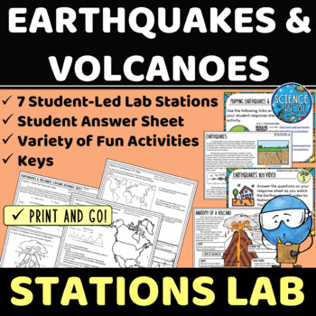
Earthquakes and Volcanoes Lab Stations
⭐ ⭐ ⭐ ⭐ Student-led lab stations are a great way to get your kids moving and interacting with content in a variety of fun and engaging ways! Students will learn, interact, and engage with new content of earthquakes and volcanoes! These seven stations focus on volcanic and earthquake activity, parts of a volcano and earthquake, seismic waves, types of volcanoes, mapping volcanoes and earthquakes, and more! All stations are neatly presented, have easy to understand directions, and require minimal
Subjects:
Grades:
8th - 12th
Types:
NGSS:
MS-ESS3-2
, HS-ESS2-1
Also included in: Earth Science Stations Labs Growing Discount Bundle
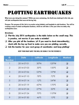
Earthquake Coordinate Lab: Plot current earthquakes using latitude and longitude
I am always looking for a latitude/longitude earthquake lab that has NEW data and can never find one... so I made one! Have your students plot real earthquake locations from July 2023. Coordinates are given in degrees, minutes and seconds. Use both, or just have students round to the nearest degree. Minutes and seconds are included in case you would like to print out a larger scale map of a specific location. Use this as a review of latitude and longitude, and as a way to purposefully plot data
Subjects:
Grades:
5th - 9th
Types:
Also included in: Locating EQ Epicenter Lab / Triangulation & Earthquake Coordinate Lab
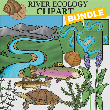
River Clipart Bundle
River Clipart Bundle This vibrant clip art bundle combines my realistic plants and animals from my River Ecosystem Clip Art (Stream Plants and Animals) set with my new River Systems set. Together, you will receive 117 images (39 colored images, 39 line art images, and 39 white-filled images). This resource is great for nature centers or science centers, biology teachers and homeschool parents.Critters Included:1. American Dipper2. Brazos Water Snake3. Brook Stickleback4. Caddisfly Larvae5. Campe
Subjects:
Grades:
Not Grade Specific
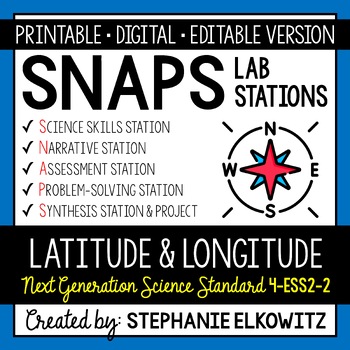
4-ESS2-2 Latitude and Longitude Lab Activity | Printable, Digital & Editable
About SNAPs Lab Stations ActivitiesSNAPs Lab Stations Activities require students to use science, math, literacy, problem-solving and engineering skills. They are designed to enhance students' understanding of scientific concepts and help students apply scientific ideas to the real world. Each station activity promotes skills so to develop students into proficient and competent scientific thinkers.SNAPs lab activities have five components:• Science Skills Station to develop science skill profici
Subjects:
Grades:
3rd - 6th
Types:
NGSS:
4-ESS2-2
Also included in: Earth Science Lab Stations Bundle | Printable, Digital & Editable
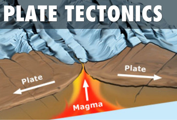
Tectonic Plate Boundaries CONVERGENT DIVERGENT TRANSFORM Worksheets Webquest Lab
Your students will learn about Earth's layers, different plate boundaries and explore how our planet's plates move and collide. This lesson plan has a PowerPoint Presentation, chart to fill out type worksheet, types of plate boundaries map identification activity, webquest, lab AND study guide! It's all in this resource! This is a super packed lesson plan with tons of resources to tap into. The lesson plan covers the following topic:•Review of the Layers of the Earth and Convection Currents•Typ
Subjects:
Grades:
4th - 10th
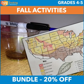
Fall Activities – Social Studies & Science Projects for Fourth & Fifth Grade
Two hands-on activities engage fourth and fifth grade students in social studies and science projects. Kids create fall foliage maps, conduct a chromatography lab, and learn how pigments in leaves change with the seasons. Open the previews to take a closer look at the fall activities bundle.Social Studies Activity – Fall Foliage Map ProjectStudents read a one-page informational text about pigments in leaves. Then they pinpoint causes and effects with a corresponding fall foliage worksheet.They c
Subjects:
Grades:
4th - 5th
Types:
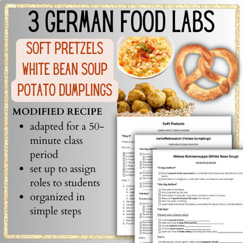
German Food Labs BUNDLE International Global World Foods German Cuisine
Are you looking for a cooking or baking lab for your German cuisine unit? These classic German food recipes: are organized to do in 50-minute periods. are broken down into simple steps to encourage as much independence as possible. given a line for each step to assign roles.have the students organize their mise en place before the steps.This rubric goes with the labs! COOKING LAB RUBRICPerfect for global foods, international cuisine, world foods, and other units!⭐Join my email list and get a FRE
Subjects:
Grades:
Not Grade Specific
Types:
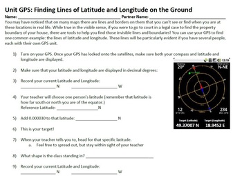
GPS in the Classroom - Complete Set of Lessons!
Want to teach your students about GPS, but don't know where to start? This lesson bundle is for you! Included in this package is a complete set of notes that explain in great detail the technical properties of GPS, and a series of activites that allow students from grades 4-12 explore GPS in fun and exciting ways that gets them out of the classroom and outside in nature. Students will learn about latitude and longitude, using waypoints, plotting courses, and using GPS in taking data samples.
T
Subjects:
Grades:
3rd - 12th
Types:
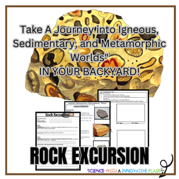
The Rock Cycle- A Journey on the Schools Grounds.
Enhance your unit on the Rock Cycle. Discover and identify three unique rocks from three different locations on your school grounds, document the rocks characteristics, and uncover the secrets the rocks may hold about your school /locations geological surroundings. Objective:To investigate the diversity of rocks found on school grounds.To identify and classify rocks using a online Geology resources(of your choice).Students will identify & document the characteristics and properties of each
Subjects:
Grades:
6th - 12th
Types:
NGSS:
MS-ESS2-3
, MS-ESS2-1
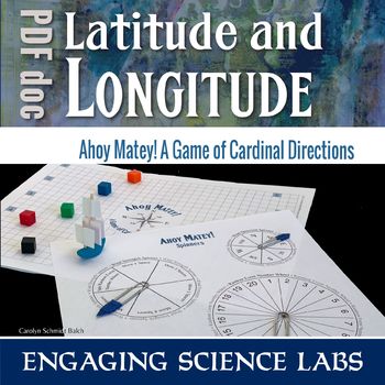
Cardinal Directions Game: Fun Way to Learn North South East West Directions
This is a game to teach cardinal directions: North South East West. A compass rose is on the game board and used as a spinner. Students try to sail their ship across the sea using prevailing winds while tackling numerous obstacles along the way. This game is a fun way to interact and learn the concepts of cardinal directions. Use this to learn and reinforce answers to questions such as:❑ How can we find our way using cardinal points?❑ What is a compass rose and how is it used?❑ What are some of
Subjects:
Grades:
6th - 8th
Types:
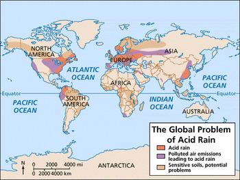
Effects of Acid Rain-Inquiry Lab SS6G8.a
Reading Passage Acid Rain Lab - Chalk and Penny Observations and Conclusions Two Political Cartoons - analyze
Grades:
4th - 8th
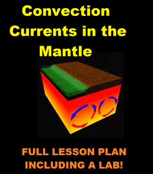
Convection Currents in the Mantle- Videos, Worksheets AND a Lab!
Hello!This is a great lesson plan that covers that following topics:1) Definition of Heat Transfer2) Types of Heat Transfer-Radiation-Conduction-Convection3) How convection currents work4) Convection currents in the Earths mantleIt shares short videos you can watch as a class, includes a journal entry, worksheet, review PowerPoint document and TWO labs! Once lab is more simple while the other is more complex. You can choose to do one OR both the labs! It's super straight forward and easy to foll
Subjects:
Grades:
5th - 10th
Natural Regions of Texas Map Lab
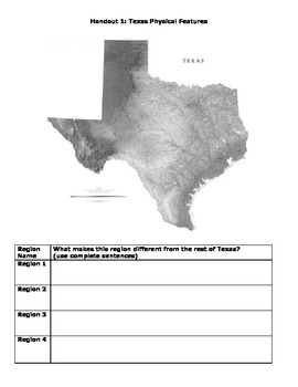
During this mapping lab lesson, students will make observations about the physical features, climate, and vegetation of Texas and will experience what it is like to decide boundaries for regions (an area of land with similar characteristics). Do not show or pre-teach the 4 natural boundaries of Texas before the lessons. Students will create their own 4 natural regions based on the maps they receive and then compare their maps to the actual map the state uses. Finally, they will evaluate the stre
Grades:
4th - 7th
Types:
Canada's Oil Industry CGC1D
This digital unit covers parts of the grade 9 Academic Geography Ontario Strand C revised 2018 (Managing Canada’s Resources)*Please note this product is included in the English C Strand Unit*What’s included: ☑ Link to the easy-to-follow Google slides worksheets designed for online and in-class learning. ☑ Answer key included with every worksheet and test.☑ Rubrics included for all culminating assignments. Topics covered: Forms of oilOil extraction + refining Oil deposits in CanadaThe economic c
Subjects:
Grades:
7th - 10th
Types:
Natural Regions of Texas Map Lab
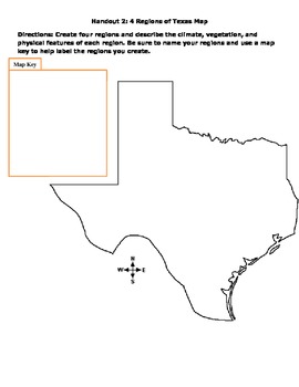
During this mapping lab lesson, students will make observations about the physical features, climate, and vegetation of Texas and will experience what it is like to decide boundaries for regions (an area of land with similar characteristics). Do not show or pre-teach the 4 natural boundaries of Texas before the lessons. Students will create their own 4 natural regions based on the maps they receive and then compare their maps to the actual map the state uses. Finally, they will evaluate the stre
Grades:
4th - 7th
Types:
Latitude and Longitude challenges/inquiries 16 per page
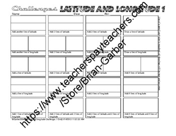
Another version of my latitude and longitude geography challenges.These are awesome and I used them with great success.Latitude, longitude, hemispheres.It was clear when I was developing these that the amount of space the students needed to do the inquiry could be shrunk so that more inquiries could be done.I feel that even though I do not teach geography any more that the development of these activities was a kind of innovation in the teaching of geographical terminology, and basics of geograph
Subjects:
Grades:
7th - 8th
Types:
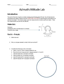
Azimuth/Altitude Lab
Lab that reviews the astronomical concepts of azimuth (compass directions) and altitude. I had my school purchase 8 plastic Theodilites but you can easily make one using this link. https://www.instructables.com/Simple-Theodolite/ In addition to using this, I let them use their phones for the compass. I used Google Earth to capture some images around my school to use as targets. It's one of those labs that takes a little bit of prep, but once you have it setup, it works for years and years.
Subjects:
Grades:
9th - 12th
Types:
Shaky Ground Earthquake Science Lab
"Shaky Ground" is a great research-based lab activity for Earth Science or Geography students! Access to Google Maps or Google Earth is needed for this activity. Teacher key included. Check out other fun science labs at our sciencepops store!
Subjects:
Grades:
6th - 12th
Types:
NGSS:
MS-ESS2-2
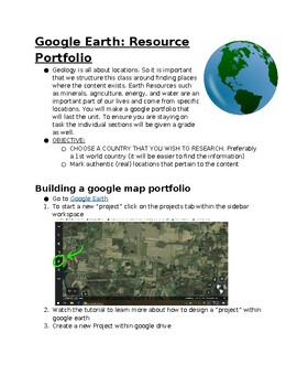
Earth Resources: google earth portfolio
This project can act as a cumulative for the unit or an exploratory experience. Students will explore the resources for a country of their choosing. In doing so they will be tasked with marking locations of existing resources, along with adding information and images to that location. Topics within this project include but are not limited to Land, Water, and Energy Resources. Students will need internet access to research, design, and build a portfolio outlining the major resources in a country
Subjects:
Grades:
7th - 12th
Types:
NGSS:
HS-ESS3-2
, HS-ESS3-1
, HS-ESS3-4
Showing 1-22 of 22 results


