1,440 results
Geography assessments $5-10
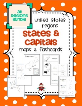
All US Regions States & Capitals Maps
Save $3 if you buy all the regions at once in this packet! Note that this product includes both MAPS and FLASHCARDS for the states & capitals of the five regions of the US.
This product contains 3 maps of each of the five regions of the United States (15 maps in all). Check out the FREE Northeast region set of maps.
• Study guide map labeled with the states and capitals (which can also be used as an answer key)
• Blank map with a word bank of the states and capitals
• Blank map without wor
Subjects:
Grades:
3rd - 5th
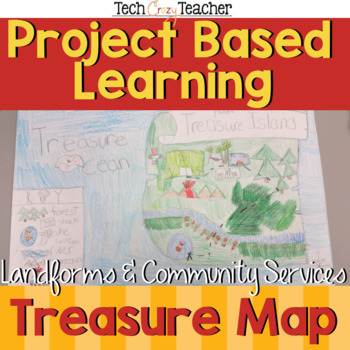
Map Skills Project Based Learning Pirate Treasure Map w/ Landforms & Communities
Need to assess your students' map skills in a fun engaging way? This project-based learning activity assesses elementary student map skills by having them bury their pirate treasure! Students become actively engaged in designing their own island and mapping the route to X Marks the Spot! A great resource for teaching and assessing basic map skills in your social studies classroom! This pirate project includes landforms and community services to make a comprehensive map assessment.This map skill
Grades:
2nd - 5th
Types:
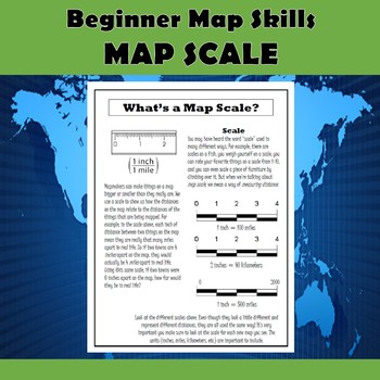
Map Scale Beginner Map Skills Activities
This product contains 5 pages of map skills practice for 2nd-4th graders. The first page introduces the parts of a map (title, compass rose, map key, and scale), and the remaining 4 pages focus on understanding and using map scale. The pages are as follows:1. Parts of a Map2. What's a Map Scale?3. Practicing Map Scale Basics4. Using a Ruler with Scale5. More Map Scale PracticeThese documents provide your students with plenty of practice learning and using map scale in fun and engaging ways. The
Grades:
2nd - 5th
Types:
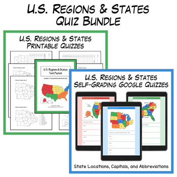
States and Capitals Quizzes Bundle | Digital & Printable
This U.S. Regions and States Quiz Bundle includes 36 self-grading Google quizzes and 21 printable PDF quizzes with answer keys. Quizzes are provided for each region (Southeast, Northeast, Midwest, Southwest, and West) along with comprehensive tests for all 50 states.For samples of the products included in this bundle, check out the FREE Midwest Region Sample Pack. The printable PDFs include numbered regional maps with the following assessment types:State names given – fill in the state numberSta
Grades:
3rd - 6th
Types:
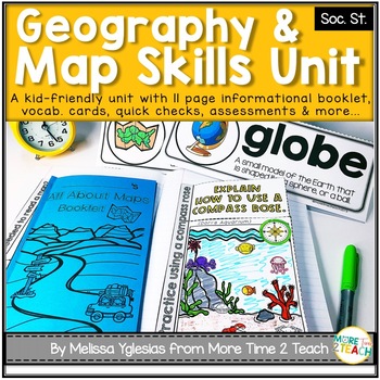
Geography Map Skills Unit: Info Text, Int. Notebook, Assess, Quick Checks + More
Help your students develop proficiency in GEOGRAPHY AND MAP SKILLS.With this unit, they will learn to read a compass rose, key/ legends with symbols, and scales on a map. They will also be able to label the 7 continents and 5 oceans on a map, learn the difference between maps and globes and understand the effect of distortion. By the end of this unit, they will also be able to name and identify the purpose of different maps (physical, political, elevation, and population) just to name a few of t
Grades:
3rd - 5th
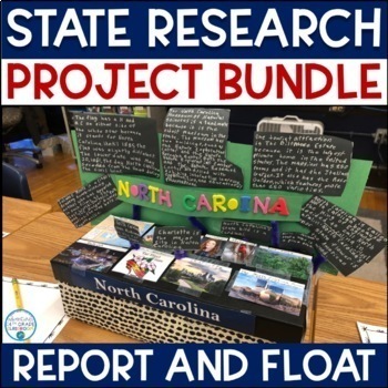
State Report and Float- Research Project Bundle
Are you looking for an alternative assessment for your social studies students? This project will keep your students engaged in their learning, while allowing them to use their creative side. This project has two parts—a report and a float. The report allows them to learn the facts, but also to be creative. The report includes:Basic InformationState HistoryState GeographyState Symbols Famous People Visitor’s CenterWeatherNational Park Service Sites Fun FactsIndustry & AgricultureThe float a
Grades:
3rd - 5th
Types:
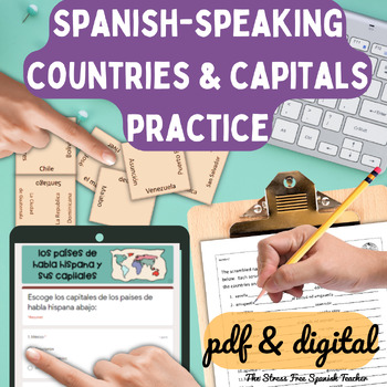
Spanish Speaking Countries Practice Activities Puzzles pdf and digital Worksheet
Help your Spanish students review the Spanish Speaking Countries and Capitals with 11 pdf practice activities, 11 digital practice activities, PLUS 13 quizzes / assessments / activities to choose from (including Google Forms™ quizzes!)No Prep! ⭐️ 1:1 classroom friendly, digital learning friendly. Google Forms™ self grading assessments included.OR⭐️Just print and go!Perfect for Spanish back to school, and to help your Spanish students practice the Spanish-speaking countries all year!✅ What's inc
Subjects:
Grades:
4th - 12th
Types:
Also included in: Build Your Own Bundle of Spanish Resources | Special order for Sydney
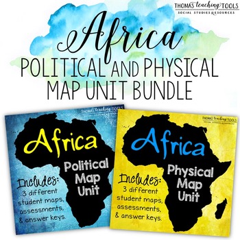
Africa: Map Unit Bundle with Outline Maps, Activities, and Map Tests *Save 10%*
This map unit bundle covers the political and physical geography of Africa. Students will learn the countries and major geographic features on the continent of Africa through outline maps and activities. This unit is intended for use in middle or high school.Save 10% by buying the BUNDLE!!!This bundle includes the following products:~ Africa: Political Map Unit~ Africa: Physical Map UnitIncludes:~ Outline (blank) maps with lists of locations for students to label (4 maps total - countries of Nor
Grades:
5th - 10th
Types:
Georgia Regions and Rivers Unit**Includes Virtual Field Trips for ALL Regions
A perfect unit to assist in teaching Georgia Regions and Rivers in 2nd grade! Complete with word wall words, interactive notebook pages, interactive mini book, quizzes, sheets, final assessments, PLUS an end of unit activity and interactive website to review the Georgia Regions!Also included in the ZIP file: Rivers Powerpoint and Top-Seller: Ga Regions Videos! * Clip art: www.englishunite.com* Frames: Winchester Lambourne* Borders: Creative Clips* Backgrounds: steach4fun* Fonts: Found on Google
Grades:
1st - 3rd
Getting To Know You Through Geography: A Beginning of The Year Carousel Activity
Geography teachers, are you always looking for a great Getting To Know You back-to-school geography activity for the beginning of the year for all ages? This activity will encourage your students to become familiar with their classmates as they work in groups and rotate through various stations. What a great introduction to basic geography skills such as graphs, charts, maps, and the concept of culture. It truly teaches geography skills all the while allowing students to collaborate, have fun, a
Grades:
5th - 12th
Types:
Also included in: Bundle for T. Wilson (25 Geography Lessons)
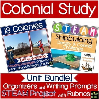
13 Colonies Unit Bundle
Studying Colonial America is made easier with this BUNDLE! Students will use graphic organizers (New England, Middle, and Southern Colonies), while learning about Colonial life. Includes 13 colonies map, informational leveled passages with questions, sorts and informational writing prompts. These can be an assessment or skills practice. As apprentice shipbuilders, a STEAM and STEM challenges them to create a boat that floats. ⭐ This BUNDLE is priced 15% less than if resources were purchased sep
Subjects:
Grades:
3rd - 5th
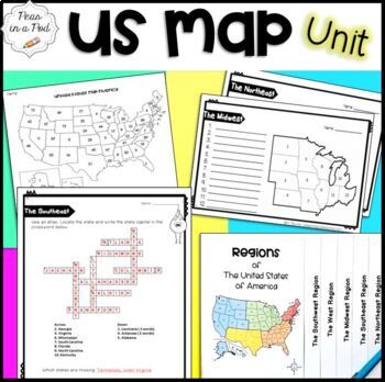
Fun Puzzles After Testing Packets Blank Map of the 50 United States Worksheets
Are you looking for a FUN map skills / US regions unit? This bundle includes: US regions Quizzes and a 50 States Map Test ( I have included the map fluency graph that I use with my students. After studying each region, I give the U.S. map fluency test. I have them graph their progress each time they take the test. This provides multiple opportunities for them to practice and motivates them to improve their knowledge of US geography.) 5 regions of The United States flip book 1. Print the
Grades:
3rd - 6th
Types:
Create Your Own Island Geography Project
This Create Your Own Island Project is a great geography project for all of your students. There is a little something for every type of interest! The Island Project will incorporate map skills and knowledge of geography with writing, art, and a whole lot of creativity. I love using this project to get to know my students better and see some of their skills outside of typical educational experience. In this Island Project, your students will be challenged to design their own “recently discovered
Subjects:
Grades:
6th - 9th
Types:
Maps and Globes Unit for Special Education PRINT AND DIGITAL
Maps and Globes Unit contains over 90 pages and 17 google slides of material specifically designed for students with special learning needs, especially autism. This unit on maps and globes addresses the characteristics of maps and globes in a simplified but rigorous way for students with diverse learning needs to make meaningful and authentic connections to the material. There are many opportunities for students to engage in repeated information on maps and globes. This repetition encourages a
Subjects:
Grades:
3rd - 5th
Types:
Also included in: Elementary Social Studies Special Education Curriculum Bundle
Baseball Math and ELA Activities
Looking for baseball math, reading, and word study activities? Our Baseball Activities include resources addressing skills such as compound words, fact and opinion, word study, map skills, word problems, story elements, and more! (Includes 13 specific resources below.) Let us help you plan an entire day of learning that is centered around the sport of baseball!1) Baseball Acrostic: Students plan and write an acrostic poem about baseball. (planning page and primary and intermediate lined paper
Subjects:
Grades:
1st - 3rd
Types:
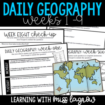
Daily Geography or Social Studies Map Skills: Weeks 1 - 9
Need for a spiral geography to help your students learn map skills and become aware of the world and country around them? Me too. That's why I developed Daily Geography.Questions deal with United States specifics and basics of other continents and their locations. Topics include borders, directions, bodies of water, latitude and longitude, and more.The system is set up for students to answer two questions per day. On Friday, they take a short "check-up" half sheet of four questions to review
Grades:
3rd - 5th
Types:
Also included in: Daily Geography or Social Studies Map Skills FULL YEAR Bundle
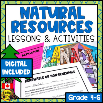
Natural Resources Lesson and Activities
Engage your students in learning all about natural resources and how they help us in our daily lives. No more searching for lessons and activities because this comes with everything you need to teach, engage and assess your students over a few weeks.This engaging product includes:complete lesson plans with modifications for differentiation.instructions on how to teach each strategy along with modifications for all learning styles (inductive learning and jigsaw learning).a Google Slides version f
Subjects:
Grades:
4th - 6th
Types:
Also included in: Alberta Social Studies Bundle Grade 4
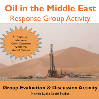
Oil in the Middle East Response Group Activity - Geography
In this response group activity, students learn about the benefits and costs of the Oil in the Middle East. A number of implementation ideas are provided along with the 23 page set to allow students to investigate 5 topics.Content Topics CoveredGeography of the Middle EastThe Processing of OilThe Human ImpactThe Export BusinessWorld ConnectionsAbout this ResourceAll materials are provided and include reading cards for each center, primary sources such as images, charts, and graphs to analyze, a
Grades:
6th - 12th
Types:
Also included in: Modern World History Interactive Lessons Bundle Walking Tours & More
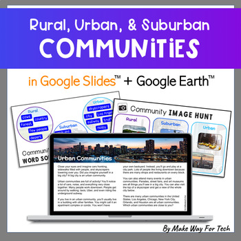
Digital Urban Suburban Rural Communities Activities & Test Types of Communities
This digital mini-unit about communities is full of content and activities that will keep your students engaged in social studies! Students will learn about rural, urban, and suburban communities in a Google Slides presentation. They'll use Google Earth and real images to explore these communities. Quick checks and a self-grading communities assessment in Google Forms will help monitor your students' understanding of the unit.Click the PREVIEW to see a detailed video of the product.Included: 7 i
Grades:
2nd - 3rd
Types:
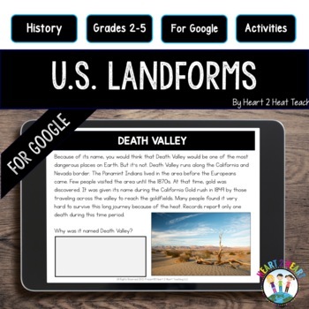
Landforms and Bodies of Water Worksheets: Great Lakes Great Plains Grand Canyon
Students will love this digital unit about 11 major landforms and physical features of the United States and what better way than to go paperless with this interactive resource for Google Classroom. This unit has TWO Google resources in one!This complete hands-on unit includes lots of movable features including drag and drop the words, maps, fill-in-the-blanks, text boxes, video links, and more!NOTE: Please have students do the activities in the EDIT mode, not presentation mode in Google Slides
Grades:
2nd - 5th
Types:
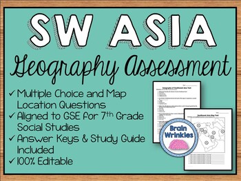
Geography of Southwest Asia Assessment (SS7G5, SS7G6, SS7G7, SS7G8)
This file is an assessment for the Geography of Southwest Asia. The file includes a multiple-choice test, a map test where students label the major political and physical features of SW Asia, a short-answer study guide, and answer keys for everything. All documents in this file are 100% editable. The documents are aligned to the Georgia Standards of Excellence (SS7G5, SS7G6, SS7G7, SS7G8) for seventh grade social studies.Included in this file:Geography of SW Asia– SS7G5, SS7G6, SS7G7, SS7G81. Te
Grades:
7th
Types:
Also included in: Seventh Grade Social Studies Assessment BUNDLE
Arkansas History Resources
These resources are perfect for introducing and reinforcing important concepts to our state. Included in the pack are resources, handouts, projects, PowerPoints, and quizzes for the 6 Natural Regions of Arkansas, the 3 main Indian Tribes of Arkansas (Osage, Quapaw, and Caddo), and Symbols of Arkansas (student booklet and key included). Answer keys are provided as well as links to websites to allow students to research information about the Native American Tribes.
Grades:
3rd - 5th
Types:
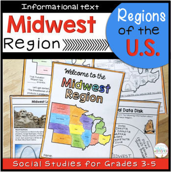
Midwest Region Maps Reading Passages and Comprehension Activities
Your students will enjoy learning what the Midwest Region of the U.S. is known for with this student-friendly printable and digital activity. Students will use maps, text features, and informational text to learn about the landscape, food, climate, natural resources, animals, and the geography of the Midwest Region. This is part of a Regions of the United States Bundle. Bundle and save 20%!This product includes:Cover6 pages of informational text (includes paragraphs, pictures, and maps)Quiz3 Inf
Grades:
3rd - 5th
Types:
Also included in: 5 Regions of the US Maps Reading Passages and Comprehension Activities
Map Skills Unit {Canadian Version}
***This is the CANADIAN Version of my Map It Out unit**Map It Out the Canadian Version is a map skills unit full of ideas, posters, task cards, activities, and more to help teach your students how to use different maps!18 Posters with pictures and definitions:EquatorHemisphereLatitudeLongitudeKey/LegendCompass RoseCardinal DirectionsIntermediate DirectionsGlobeMapPopulation MapGrid MapScaleContinentCountryProvinceTerritoryCityActivity Pages With Answer Keys:-Using A Map Key-Using A Map Key: Brit
Grades:
1st - 3rd
Types:
Showing 1-24 of 1,440 results


