401 results
Geography flash cards $5-10
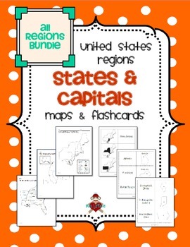
All US Regions States & Capitals Maps
Save $3 if you buy all the regions at once in this packet! Note that this product includes both MAPS and FLASHCARDS for the states & capitals of the five regions of the US.
This product contains 3 maps of each of the five regions of the United States (15 maps in all). Check out the FREE Northeast region set of maps.
• Study guide map labeled with the states and capitals (which can also be used as an answer key)
• Blank map with a word bank of the states and capitals
• Blank map without wor
Subjects:
Grades:
3rd - 5th
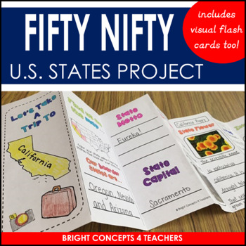
State Travel Brochure: State Project for Any U.S. State!
Are you looking for a fun and creative way to help your students learn about the 50 U.S. States? If so, look no further. These resources will help your students become experts about them. This unit includes the following:-Visual flash cards of all 50 states. The front of each card has a map of the United States with a highlighted state so they can see where it is on the map. The back, has the state name, capital, and outline of the state shape. These are great to help students study and memorize
Grades:
2nd - 6th
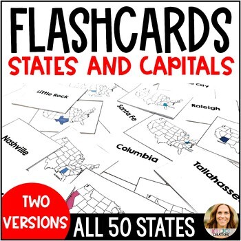
U.S. States and Capitals Flashcards with State Labels and Maps - Test Prep
Help your students learn all 50 states and capitals with this full set of printable flashcards! These are great study tools and can also be used for matching games or quiz-quiz-trade. To prepare for flashcard use, simply print the cards and fold them down the middle. You can also laminate a few sets and place them on rings to keep in your classroom for the years to come.You will receive a zip file with TWO SETS of flashcards.✅ Set 1 has the state colored in AND labeled for extra support✅ Set 2 h
Subjects:
Grades:
3rd - 6th
Types:
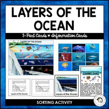
Layers of the Ocean Biome Montessori 3 Part Cards Student Blackline Worksheets
Layers of the ocean 3-part cards and sorting activities. Here's what's included:Layers of the ocean poster and animal cards for sorting and matching. The set features watercolor images. There are two sets included with three ( the Sunlight Zone, Twilight Zone and Midnight Zone) and five layers (the Sunlight Zone, Twilight Zone, Midnight Zone, Abyss and The Trenches).Layers of the ocean 3-part cards, information cards and blackline master (cursive/print tracing and pages for independent writing)A
Subjects:
Grades:
K - 2nd
Also included in: Nature Curriculum in Cards Bundle
Continents, Oceans, & 2nd grade Map Skills BOOM™ Cards BUNDLE!
Review what you know about the continents, oceans, and map skills with fun BOOM™ cards! Two different sets of Boom cards are included: continents and oceans & map skills vocabulary. Boom cards work great in learning centers, for early finishers, for extra practice, or as a whole group activity!MAP SKILLS BOOM™ DECK:This deck includes 39 cards practicing the following terms: Tropic of Cancer, Tropic of Capricorn, symbol, scale, legend, ocean, continent, cartographer, map, globe, North Pole,
Subjects:
Grades:
2nd - 4th
Types:
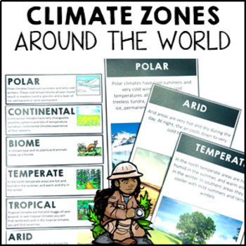
Climate Zones Maps Vocabulary Cards and Posters
These climate vocabulary cards and posters will help your students to understand what the major climate zones in the world are. They came with 4 options: vocabulary cards for your word wall (with image and definition), large poster with image, large poster with real photograph and large poster you can turn into either a student workbook piece or colour and decorate for the classroom wall.Note: if you are looking for the simplified Australian climate zones please look at this resource Climate Zon
Subjects:
Grades:
2nd - 4th
Types:
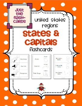
All US Regions States & Capitals Flashcards Only
This product includes 3 different versions of flashcards to study states and/or capitals in the five regions of the United States. Each set of flashcards could also be used as a matching game - print each set on a different color of paper, then instead of folding & gluing, just cut apart & laminate!
• State shaded within the region on the front with state name on the back
• State name and outline on the front with capital on the back
• State outline on the front with state name and capi
Subjects:
Grades:
3rd - 5th
Types:
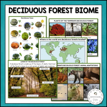
Deciduous Forest Biome Characteristics, Animal and Plant Adaptations
The Deciduous Forest Biome is a learning set containing 3-part cards, description cards, information posters, and research worksheets for students to learn about the temperate deciduous biome. Students will learn about the main characteristics of this ecosystem, animal and plant adaptations. The printable features photographic images. The Deciduous Forest Biome printable includes:Information cards: The deciduous forest; Where in the world are the temperate deciduous forests located (map);
Subjects:
Grades:
K - 2nd
Also included in: Nature Curriculum in Cards Bundle

50 States Flash Cards
Kids can master the 50 states with these handy flash cards.This product comes with printable flash cards in both full-color and black and white that have the state pictures on one side and the state names on the reverse. Also included are two pages of fun activities that utilize these flash cards. These cards are perfect for use in a home, homeschool, co-op, classroom, distance learning environment, or afterschool program.A NOTE BEFORE YOU BUY: If you already have or are purchasing the Learn the
Subjects:
Grades:
3rd - 6th
Types:
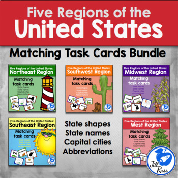
Five Regions: States and Capitals Task Cards Bundle
Five Regions States, Capitals, and AbbreviationsFive Regions States and Capitals Task Cards includes five separate sets of task cards that students can use to match in many different combinations. Task cards for each region include each state highlighted in the region, the outline of the state, the state name, the state capital city, and the two letter abbreviation for the state. Also each region includes a recording sheet for matching just the state to its name, and another recording sheet for
Subjects:
Grades:
3rd - 5th
Types:
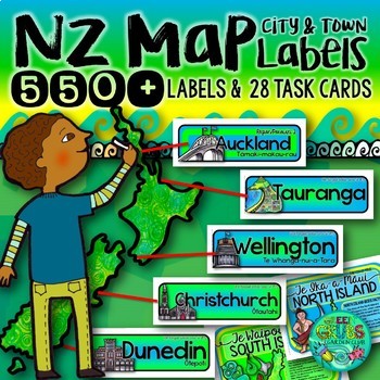
New Zealand Map labels {550+ Town, City & Region Labels}
Nope, that’s not a typo – this set contains 550+ New Zealand map labels! From Cape Reinga at the top, down through our quirky little towns and big cities to Invercargill, we’ve got you covered!This set of labels is designed to match perfectly with your large classroom wall map – laminate your own selection of labels, then use string to link them to the map. This resource comes complete with task cards to get your class thinking more deeply about their little corner of Aotearoa & what makes
Subjects:
Grades:
Not Grade Specific
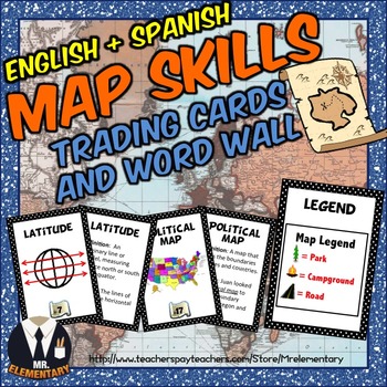
Map Skills Trading Card Activities and Word Wall Posters
Map Skills Vocabulary Trading Cards + Posters! These are a FUN, EFFECTIVE way to study map skills whether whole group, in centers or individually. I’ve included a blank set of the Map Skills Trading Cards for students to draw their own map skills pictures and come up with their own definitions and examples of the map skills vocabulary.
Product Languages:
English + Spanish (A Spanish Map Skills version is now included for FREE)
This Map Skills Vocabulary Set Includes:
• 24 Map Skills Trading
Subjects:
Grades:
2nd - 5th
Also included in: Geography Vocabulary Bundle
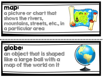
Geography Vocabulary Words 3rd grade NYC Passport to Social Studies Unit 1
This product comes with the 33 vocabulary from the NYC Passport to Social Studies Geography unit for 3rd grade. It can be used with any curriculum.Words included (with definitions and pictures):geographygeographermap globeanthropologist adaptcompass rosecontinentculture conserveflood zonehuman settlementlatitudelongitudelegend lowlandlake oceanpeak political maprelief map rivervalley wetlandelevationhemisphereclimate coordinatesmap keycardinal directionsgeographic featuresnatural resourcesterrai
Subjects:
Grades:
2nd - 5th
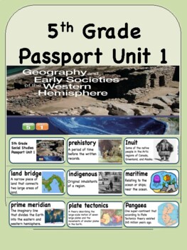
Social Studies Passport 5th Grade Unit 1 Vocabulary Words: Western Hemisphere
•92 vocabulary words with definitionsWords Included: Land bridge, prime meridian, artifacts, latitude, city-state, continental drift, longitude, empire, migration, equator, hemisphere, prehistory, indigenous, plate tectonics, archaeology, fossils, Andes, arctic, civilization, climate, erosion, geology, global warming, historical fiction, Ice Age, innovation, Inuit, maritime, Pangaea, Rainforest, Rocky Mountains, social class, tundra, urbanization, values, wigwam, woodlands, Yukon, infographic, g
Subjects:
Grades:
5th
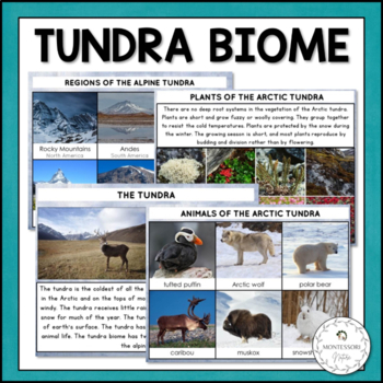
Tundra Biome - Characteristics, Animal and Plant Adaptations Montessori
The Tundra Biome is a learning set containing 3-part cards, description cards, information posters, student booklets for coloring and practicing handwriting and research worksheets for students to learn about the tundra biome. Students will learn about the main characteristics of this ecosystem, animal, plant and human adaptations. The printable features photographic images and clipart (as a part of student worksheets and posters). The Tundra Biome Printable includes:Information cards on The T
Subjects:
Grades:
K - 2nd
Also included in: Nature Curriculum in Cards Bundle
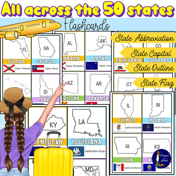
All Across the 50 States Flashcards with Capitals and Abbreviations
All Across the 50 States Flashcards with Capitals and AbbreviationsFun and informative flashcards for ALL 50 states. Each flashcard includes:Name of the stateOutline of stateState abbreviationState capitalState flagStudents will feel their practice more engaging and fun with these flashcards as they try to memorize and review state capitals, abbreviations, and flags.With the use of the index finger students can cover the name of each state capital as they quiz their peers on each state capital.A
Grades:
2nd - 11th
Types:
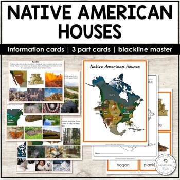
Native American Houses Information and Picture Cards, 3 Part Cards
This resource presents eleven types of houses built by Native American people across various geographical locations of North America. This is a colorful printable that combines realistic and historically accurate clipart with photographs. These picture information cards can be used with different age groups. The set also includes Montessori 3 parts cards, a student booklet to be colored and labeled, and a b&w map for students to color and find location areas where the different types of Nati
Subjects:
Grades:
PreK - 1st
Also included in: North America Continent Bundle - Montessori
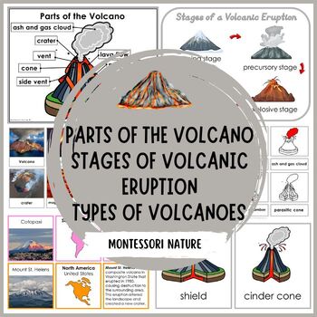
Parts of Volcano Stages of Volcanic Eruption Types of Volcanoes Montessori
Enhance your geography curriculum with these engaging volcano printables! This comprehensive set includes detailed information on the stages of volcanic eruption, parts of the volcano, volcanoes of the continents, and different types of volcanoes. Perfect for integrating into lessons about dinosaurs, the Montessori First Great Lesson, or Earth units, these printables are designed for preschool, kindergarten, and grade 1 students. With colorful visuals and easy-to-understand content, these resour
Subjects:
Grades:
PreK - 1st
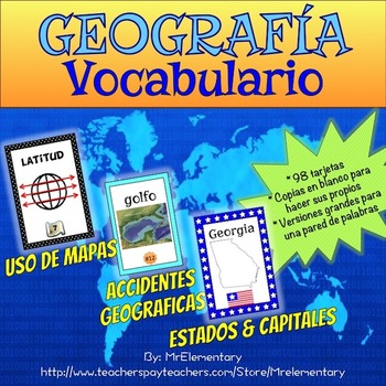
Spanish Geography Vocabulary Bundle
This is a pack of Spanish map skills, landforms and states and capitals geography cards. I made them to look like the trading cards I always see my students playing with. I originally created them to help my ELL students learn all of the vocabulary that comes with teaching geography and soon found out that all of my students loved to use them!Save $5.00 by buying this Geography Vocabulary Bundle! Note: This product is also available in English! Find it here!Spanish Map Skills Vocabulary Cards
Subjects:
Grades:
2nd - 6th
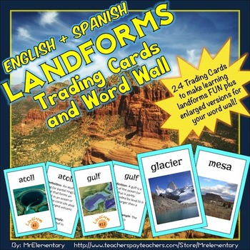
Landform Vocabulary Cards, Word Wall, and Activities Bundle
These Landform Vocabulary Trading Cards are a FUN, EFFECTIVE way to study landforms whether whole group, in centers or individually. I’ve included a blank set of the Landforms Trading Cards for students to draw their own landforms pictures and come up with their own definitions and examples of the landforms vocabulary.Product Languages:English + Spanish (A Spanish Landforms version is now included for FREE)This Landforms Vocabulary Set Includes:• 24 Landforms Trading Cards (click PREVIEW to see
Subjects:
Grades:
3rd - 6th
Also included in: Geography Vocabulary Bundle
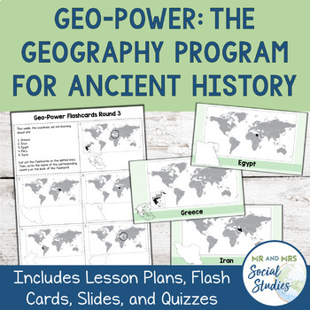
Ancient Civilizations Geography Program
This Ancient Civilizations Geography Bundle, also known as Geo-Power, is a proven system that increases students’ geographic awareness in a fun and meaningful way. This Ancient History Geography program is tailored to Ancient Civilizations classes and includes 6 pages of printable country flashcards, 6 slideshows (both PowerPoint and Google Slides) featuring the countries on the flashcards, and quizzes (with answer keys) that correspond to the country flashcards. For best results, you will want
Grades:
5th - 8th
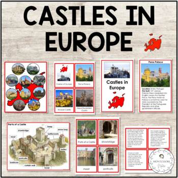
Castles in Europe Parts of a Castle 3-Part Cards
Fascinating castles of Europe printable contains materials you need to complete your study of Europe with interesting facts about the most beautiful castles in the world. Parts of a castle printable follows as an additional study.The printable contains:European castles match up activity for PreK students 3-part cards with ten European castles (print control cards only or use the whole set as intended) Ten Castles of Europe - information cards Parts of a Castle - poster and fill in the blanks act
Subjects:
Grades:
K - 2nd
Also included in: Europe Continent Bundle - Montessori
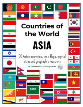
Asian Countries Printable Flags and Posters with Capital Cities
Countries of AsiaAll 50 Asian countries printable flags with its capital cities and geographical locations on the map.Print in different sizes.For each country:Individual poster for each country containing the flag, country name, the capital city and geographic location on a mapFlag and country name cards.Fold each page in half to easily create flashcards with the flag on one side and the country's name on the other.You can also print 6 pages per sheet of paper to make smaller cards which are pe
Grades:
Not Grade Specific
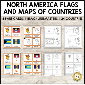
Flags of North America Countries 3 Part Cards Blackline Masters
Three-part cards with North America flags. The corresponding cards include 1) the country’s map highlighted with red and the corresponding flag; 2) the country’s map outline and the corresponding flag.The Flags of North America Montessori 3 part cards are a great tool for promoting cultural awareness, appreciation, and understanding among children. These cards help children learn about the different countries, cultures, and communities in North America. They also teach children to recognize and
Subjects:
Grades:
K - 2nd
Also included in: North America Continent Bundle - Montessori
Showing 1-24 of 401 results


