867 results
Geography homeschool curricula $5-10
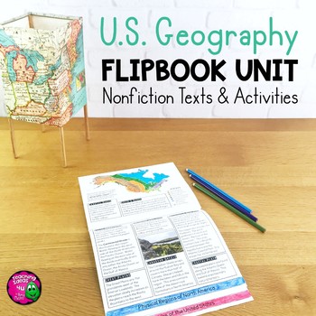
United States Geography Unit: Informational Texts, Maps, & Activities US Regions
U.S. Geography Integrated Unit for Upper ElementaryThis integrated unit of study focuses on United States geography and related skills. It includes 8 lessons and activities, including informational texts and a summative test. These reading passages can be used for close reading and reading comprehension, as well as social studies content.Everything needed to teach the material is included - just add pencils and crayons! Lessons included are:1. Latitude & Longitude2. Relative & Absolute
Subjects:
Grades:
4th - 6th
California State Study Notebooking Pages
California State Study Notebooking Pages includes 143 notebooking pages in all. You will find both primary and basic-line options. Some pages include maps and/or illustration boxes. These notebooking pages are designed so your student can create a personalized notebook of California through research and study. Please Note: This is not a curriculum - it's an aid to use alongside your choice of resources.Here’s what’s included:• Cover pages (2 page options)• Basic Facts Page• Where’s Californi
Grades:
3rd - 6th
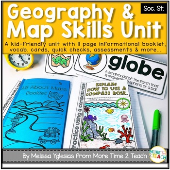
Geography Map Skills Unit: Info Text, Int. Notebook, Assess, Quick Checks + More
Help your students develop proficiency in GEOGRAPHY AND MAP SKILLS.With this unit, they will learn to read a compass rose, key/ legends with symbols, and scales on a map. They will also be able to label the 7 continents and 5 oceans on a map, learn the difference between maps and globes and understand the effect of distortion. By the end of this unit, they will also be able to name and identify the purpose of different maps (physical, political, elevation, and population) just to name a few of t
Grades:
3rd - 5th
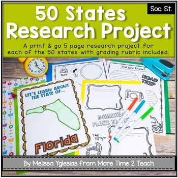
50 States Project- Research Project | Report {with grading rubric}
Have your students been learning about the 5 REGIONS OF THE UNITED STATES or are you simply looking for a FUN RESEARCH project on the 50 STATES? If so, then this might be just the activity you're looking for!With this PRINT & GO RESEARCH PROJECT, each student or group will create a 5-page booklet on one of the 50 States. This project lends itself to independent work, partner work, or even group work. Simply begin by assigning a state, print the parent information letter, and print the pages
Subjects:
Grades:
2nd - 5th
CCSS:
Also included in: Regions of the United States Bundle & State Research Project with Rubric
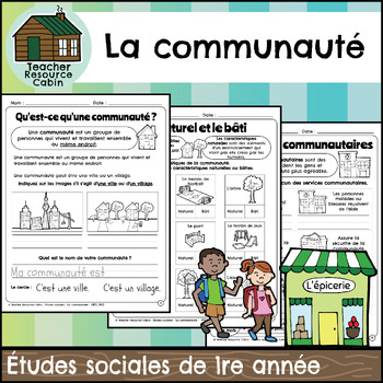
La communauté cahier (Grade 1 FRENCH Social Studies)
This FRENCH workbook covers the Grade 1 The Local Community unit in the NEW 2023 Ontario Social Studies curriculum (People and Environments).Ce cahier d'exercices couvre l'unité La communauté de la 1re année du programme d'études sociales de l'Ontario 2023 (Communauté et environnement).The workbook covers various topics related to the local community, including traditional territory, natural and built features, community history, community services, emergency services, waste management, green sp
Subjects:
Grades:
1st
Also included in: MEGA BUNDLE: Grade 1 Ontario FRENCH Social Studies Full Units
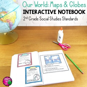
Our World: Maps & Globes Interactive Notebook for 2nd Grade Geography
Our World: Maps & Globes Interactive Notebook for 2nd Grade GeographyThis is a complete interactive notebook unit with assessments for 2nd Grade Geography. This 85 page unit includes activities, vocabulary, and map practice. These activities can either be used with a textbook or used as a teacher-led unit. There are maps of each U.S. state, North America, and the world, as well as a thematic map activity. There is a Venn diagram that can be used for comparing maps and globes. These stand
Grades:
2nd
Also included in: 2nd Grade Social Studies Interactive Notebook BUNDLE 5 Units
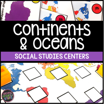
Continents & Oceans Activities - Continents & Oceans Centers - Geography Centers
This continents and oceans resource includes four hands-on center activities perfect for students to practice identifying the seven continents and five major oceans. Here’s what you’ll find inside:Continents & Oceans Playdough Mats – Students will follow the directions on each mat to say and trace each continent’s name, form the shape of the continent with playdough, say and write the continent’s name, and circle the continent on the world map. Great for multi-sensory practice and easy to pr
Subjects:
Grades:
1st - 3rd
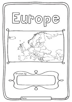
Europe 50 Countries Study - worksheets with maps and flags for each country
Kids love flags! As they colour in the flags they can learn about the countries the flags belong to and make their very own geography book about the 50 countries in the continent of Europe. One country per page with its flag and map to colour in and information to research: Capital City, Language Spoken, Population, Land Area, Religion and Interesting Facts. An additional page is provided for those who wish to add to their interesting facts.
Free Preview is the worksheet for France - each c
Subjects:
Grades:
1st - 4th
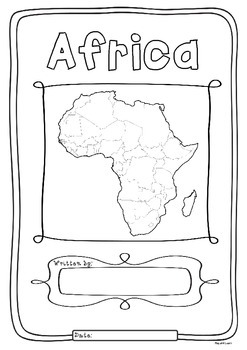
Africa 55 Countries Study - worksheets with maps and flags for each country
Kids love flags! As they colour in the flags they can learn about the countries the flags belong to and make their very own geography book about the 55 countries in the continent of Africa. One country per page with its flag and map to colour in and information to research: Capital City, Language Spoken, Population, Land Area, Currency, Religion and Interesting Facts. An additional page is provided for those who wish to add to their interesting facts.
Free Preview is the worksheet for South Afr
Subjects:
Grades:
1st - 4th
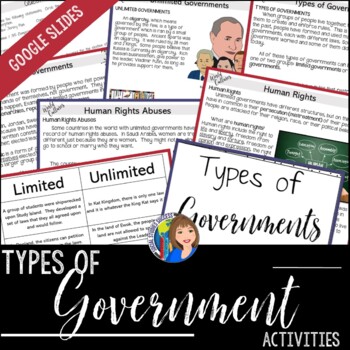
Types of Government - Unlimited vs. Limited Government with ELL & Google Slides™
Teach your students the difference between limited and unlimited governments with multiple activities. Human rights will also be examined in this resource. Your students will start this activity with vocabulary development using Word Wall terms, a vocabulary activity and a game on Boom Learning™. They will then answer questions with a preview assignment comparing visuals from two different types of government. They will then read, discuss questions, and take Doodle Notes on the different type
Subjects:
Grades:
5th - 7th
Types:
Also included in: GEOGRAPHY ACTIVITIES BUNDLE
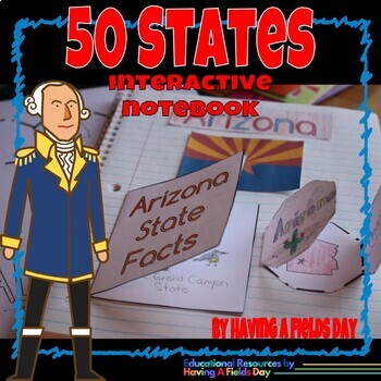
50 States Interactive Notebook
Your students will create a quick and simple interactive notebook that will help them remember their 50 states facts! Enhance your students' knowledge of the United States with this interactive 50 states interactive notebook template set. This pack includes materials to make a one-page notebook page for each of the 50 states. As they learn about each state they will color in the corresponding state outline on the included U.S.A. map, which can be glued in the front of their notebook for easy ref
Grades:
2nd - 5th
Also included in: USA States and Capitals Bundle
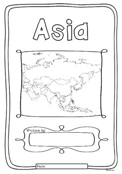
Asia 48 Countries Study - worksheets with maps and flags for each country
Kids love flags! As they colour in the flags they can learn about the countries the flags belong to and make their very own geography book about the 48 countries in the continent of Asia. One country per page with its flag and map to colour in and information to research: Capital City, Language Spoken, Population, Land Area, Currency, Religion and Interesting Facts. An additional page is provided for those who wish to add to their interesting facts.
Free Preview is the worksheet for Myanmar - e
Subjects:
Grades:
1st - 4th
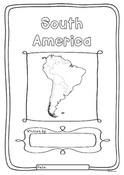
South America 12 Countries Study - worksheets flags and maps for each country
Kids love flags! As they colour in the flags they can learn about the countries the flags belong to and make their very own geography book about the 12 countries in the continent of South America. One country per page with its flag and map to colour in and information to research: Capital City, Language Spoken, Population, Land Area, Currency, Religion and Interesting Facts. An additional page is provided for those who wish to add to their interesting facts.
Free Preview is the worksheet for Ar
Subjects:
Grades:
1st - 4th
Pennsylvania State Study Notebooking Pages
Pennsylvania State Study Notebooking Pages includes 142 notebooking pages in all. You will find both primary and basic-line options. Some pages include maps and/or illustration boxes. These notebooking pages are designed so your student can create a personalized notebook of Pennsylvania through research and study. Please Note: This is not a curriculum - it's an aid to use alongside your choice of resources.Here’s what’s included:• Here’s what’s included:• Cover pages (2 page options)• Basic
Grades:
3rd - 6th
Halloween Around the World
Super fun and informative activities to acquaint children with the customs of Halloween in other countries. Each country comes with the information sheet, a cut and paste activity, and an activity to draw a line from where you live to that country. There are 13 countries total.
If you're interested in other geography activities, visit this link:
http://www.teacherspayteachers.com/Store/Wise-Little-Owls/Category/Geography-Jumpers
Subjects:
Grades:
PreK - 2nd
Illinois State Study Notebooking Pages
Illinois State Study Notebooking Pages includes 142 notebooking pages in all. You will find both primary and basic-line options. Some pages include maps and/or illustration boxes. These notebooking pages are designed so your student can create a personalized notebook of Illinois through research and study. Please Note: This is not a curriculum - it's an aid to use alongside your choice of resources.Here’s what’s included:• Cover pages (2 page options)• Basic Facts Page• Where’s Illinois (2
Grades:
4th - 6th
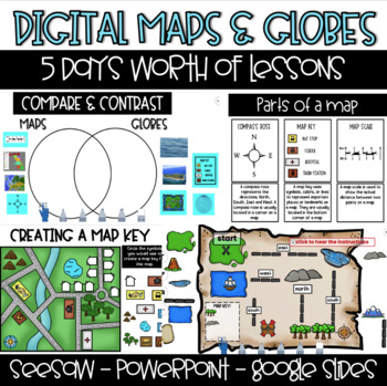
Digital Maps & Globes - Seesaw - Google Slides -PowerPoint
This product is 100% DIGITAL & INTERACTIVE. You will have access to FIVE preloaded Seesaw Activities, FIVE Google Slides Lessons & PowerPoint. Day 1: Maps & Globesstudents will learn the difference between maps & globesstudents will compare maps & globesDay 2: Map Featuresstudents will learn about the compass rose, map key and map scalestudents will identify the map features on a variety of mapsDay 3: Compass Rosestudents will learn the cardinal directionsstudents will build
Subjects:
Grades:
1st - 2nd
Types:

Geography Jumpers: Kenya
COMPLETELY UPDATED AND RENOVATED JUNE 2016!
This unit explores the country, the continent it's located in, it's flag, and many other facts, including its culture and what school is like there. This is one unit in a series that includes 25 countries.
This series is perfect for preschoolers, Pre-K, Kindergarten, first grade, and second grade.
Items included:
Fact Sheet
Photo cards
Word wall cards
Country Poster
Flag Poster
All About Kenya info book
I Saw Kenya emergent reader
Research Report
G
Subjects:
Grades:
PreK - 2nd
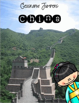
Geography Jumpers: China
COMPLETELY UPDATED AND RENOVATED JUNE 2016!
This unit explores the country, the continent it's located in, it's flag, and many other facts, including its culture and what school is like there. This is one unit in a series that includes 25 countries.
This series is perfect for preschoolers, Pre-K, Kindergarten, first grade, and second grade.
Items included:
Fact Sheet
Photo cards
Word wall cards
Country Poster
Flag Poster
All About China info book
Here is China emergent reader
Research Report
Subjects:
Grades:
PreK - 2nd
North Carolina State Study Notebooking Pages
North Carolina State Study Notebooking Pages includes 143 notebooking pages in all. You will find both primary and basic-line options. Some pages include maps and/or illustration boxes. These notebooking pages are designed so your student can create a personalized notebook of North Carolina through research and study. Please Note: This is not a curriculum - it's an aid to use alongside your choice of resources.Here’s what’s included:Cover pages (2 page options)Basic Facts PageWhere’s North
Grades:
4th - 6th
Arizona State Study Notebooking Pages
Arizona State Study Notebooking Pages includes 142 notebooking pages in all. You will find both primary and basic-line options. Some pages include maps and/or illustration boxes. These notebooking pages are designed so your student can create a personalized notebook of Arizona through research and study. Please Note: This is not a curriculum - it's an aid to use alongside your choice of resources.Here’s what’s included:• Cover pages (2 page options)• Basic Facts Page• Where’s Arizona (2 pag
Grades:
4th - 6th
Social Studies Fair Projects: A Step-by-Step Guide
Social studies fair projects encourage students to think critically about some aspect of our world and society. They must complete research and explore a topic in a scientific way. Furthermore, the project asks students to synthesize, integrate, and apply the skills they have also learned in ELA, math and social studies.This packet by Suzanne Buras provides teachers, students, and parents with a step-by-step guide to complete a social studies fair project. The packet covers the types of projec
Subjects:
Grades:
Not Grade Specific
Mississippi State Study Notebooking Pages
Mississippi State Study Notebooking Pages includes 142 notebooking pages in all. You will find both primary and basic-line options. Some pages include maps and/or illustration boxes. These notebooking pages are designed so your student can create a personalized notebook of Mississippi through research and study. Please Note: This is not a curriculum - it's an aid to use alongside your choice of resources.Here’s what’s included:Cover pages (2 page options)Basic Facts PageWhere’s Mississippi
Grades:
4th - 6th
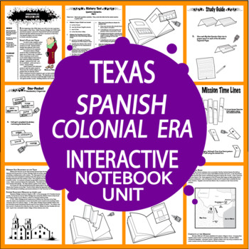
Spanish Colonial Era – 7th Grade Texas History – Texas 7th Grade History TEKS
Texas Spanish Colonial Era (1690-1821), one of 12 Eras of Texas History, is a four-part TEKS-aligned Unit that includes all of the Nonfiction Informational Text (NO ADDITIONAL TEXTBOOK NEEDED), THREE Interactive Notebook assignments, and a comprehensive End-of-Unit Test.Part 1 – The Mission SystemPart 2 – Mission LifePart 3 – The San Antonio MissionsPart 4 – The End of the MissionsEnd-of-Unit TestStudents will complete 13 Vocabulary Cards and a One-Pocket Vocabulary Organizer, 8 Accordion Organi
Grades:
7th
Also included in: 7th Grade Texas History Bundle – Texas 7th Grade History TEKS Aligned
Showing 1-24 of 867 results


