246 results
Geography task cards $5-10
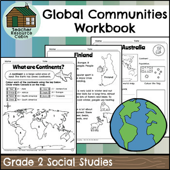
Global Communities Workbook (Grade 2 Social Studies)
This workbook covers the Grade 2 Global Communities unit in the NEW 2023 Ontario Social Studies curriculum (People and Environments).It covers various topics such as map skills, continents, oceans, and the equator. It further explores Canada, comparing climate, wildlife, natural features, homes, and recreation. It includes information on specific Canadian communities in Ontario, Yukon, Nova Scotia, and British Columbia, including a contemporary FNMI community (Saugeen First Nation). The workbook
Grades:
2nd
Also included in: Grade 2 Ontario Social Studies Workbook Bundle
Map Skills Georgia Grade 3 (Task Cards Included) Meets New GSE's
This bundle is ideal for Georgia third grade teachers teaching US Rivers (St. Lawrence, Hudson, Ohio, Mississippi, Rio Grande, and Colorado), US Mountain Ranges (Rocky Mountains and Appalachian Mountains), Equator, Prime Meridian, and Lines of Latitude and Longitude. The set addresses all the Map Skills standards for third grade social studies GSE's SS3G1-SS3G2.Click Here to Save 30%!Topics include:Major Rivers-Mississippi, Ohio, Rio Grande, Colorado, St. Lawrence, and HudsonMountain Ranges-Rock
Subjects:
Grades:
3rd
Types:
Also included in: Georgia Third Grade Social Studies BIG Bundle (Meets New GSE's)
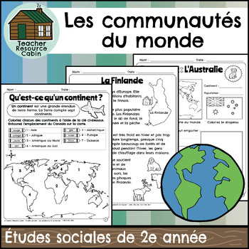
Les communautés du monde (Grade 2 Ontario FRENCH Social Studies)
This FRENCH workbook covers the Grade 2 Global Communities unit in the NEW 2023 Ontario Social Studies curriculum (People and Environments).Ce cahier d'exercices couvre l'unité Les communautés du monde de la 2e année du programme d'études sociales de l'Ontario 2023 (Communauté et environnement).It covers various topics such as map skills, continents, oceans, and the equator. It further explores Canada, comparing climate, wildlife, natural features, homes, and recreation. It includes information
Grades:
2nd
Also included in: MEGA BUNDLE: Grade 2 Ontario FRENCH Social Studies Full Units
Map Skills & Five Themes of Geography Activity Bundle | Unit Activities
My Map Skills & 5 Themes of Geography Activity Bundle | Unit Activities includes four of my activities resources for your unit on map skills and the five themes of geography at a discounted rate.★ You may also want to check out my "Less Mess" Map Skills and Geography Interactive Notebook Activities as well. Included resources are:1. The Five Themes of Geography Posters with Mr. HelpSometimes all it takes is something comical, silly, or colorful for students to remember a concept. These poste
Subjects:
Grades:
4th - 7th
Types:
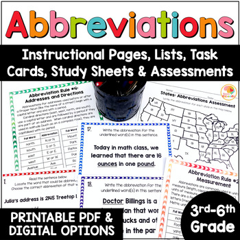
Abbreviations Worksheet: Rules, Task Cards, Anchor Chart, Assessments Activities
Abbreviations Activities: Rules, Task Cards, Worksheets Practice with US MapsAre you looking for abbreviations worksheets, practice pages, task cards, lists, abbreviation rules, and assessments? You've come to the right spot! This abbreviations activities product includes:One page of teacher's notesSeven reference/instructional pages, which include the abbreviations lists by category36 task cards with three distinct question typesAn answer sheetAn answer keyBlack-and-white study sheets for eas
Subjects:
Grades:
3rd - 6th
Types:
Also included in: Kirsten's Kaboodle Multi-Level Storewide ELA Task Cards BUNDLE Digital
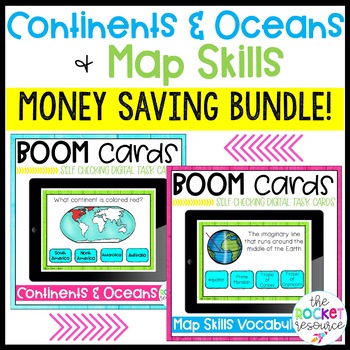
Continents, Oceans, & 2nd grade Map Skills BOOM™ Cards BUNDLE!
Review what you know about the continents, oceans, and map skills with fun BOOM™ cards! Two different sets of Boom cards are included: continents and oceans & map skills vocabulary. Boom cards work great in learning centers, for early finishers, for extra practice, or as a whole group activity!MAP SKILLS BOOM™ DECK:This deck includes 39 cards practicing the following terms: Tropic of Cancer, Tropic of Capricorn, symbol, scale, legend, ocean, continent, cartographer, map, globe, North Pole,
Subjects:
Grades:
2nd - 4th
Types:
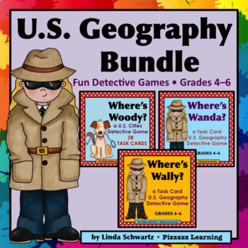
U.S. Geography Bundle • GRADES 4–6 • • 3 Sets • SAVE! •
U.S. Geography Bundle (state capitals, landmarks, directions, map skills) Your students will love playing detective with U.S. Geography Bundle where they try to find someone who is hiding by eliminating clues one Task Card at a time.There are 3 units included in the U.S. Geography Bundle with a total of 84 challenging clues. What a fun way to get your students into maps and increase their geography skills while they play detective!The U.S. Geography Bundle includes the following sets:• Se
Subjects:
Grades:
4th - 6th
Types:
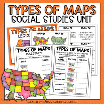
Types of Maps | Social Studies Mini Unit
Engage your students like never before with this Types of Maps Social Studies Unit! See the preview above to get a sneak peak at all the great components of this resource! This Resource Includes: •Teacher Guide•Identifying Types of Maps Task Cards•Types of Maps Worksheet/INB Activity (differentiated)•Types of Maps Assessment•Answer Keys•PowerPoint:This PowerPoint was designed to be an introduction to the skill. It is short enough to be used as a mini lesson. The slides can also be printed out to
Grades:
2nd - 5th
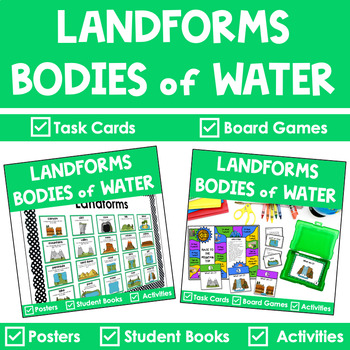
Landforms Bundle
This bundle of landforms and bodies of water resources has everything you need to teach, review, and reinforce landforms with fun and engaging activities. This bundle contains Landforms Task Cards, Activities, Landform Posters, Student Riddle Books, Games, worksheets, and more.❤️ WHAT’S INCLUDED: ✅ Landforms and Bodies of Water Task Cards & Activities⭐️ Teacher Tips⭐️ 40 Task Cards – 2 Sets⭐️ Color & Black & White Versions⭐️ Recording Sheets⭐️ Answer keys‘⭐️ Task Card Run’ - game⭐
Subjects:
Grades:
1st - 3rd
Types:
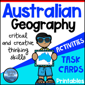
Australia Activities: Worksheets and Tasks to learn about Australian Geography
Australian Geography is comprised of 14 Australia mapping activities, 24 Thinking Trek task cards, 80 Australia word cards and 6 printable posters. Mapping activities are provided for each of Australia's states and territories. Three of the Australian mapping activities introduce some connections between Australia and China, South America and Africa.Australia Geography Thinking Treks 24 engaging Australian Geography Task Cards:• ideal for differentiation • promotes critical and creative thinki
Subjects:
Grades:
4th - 5th
Types:
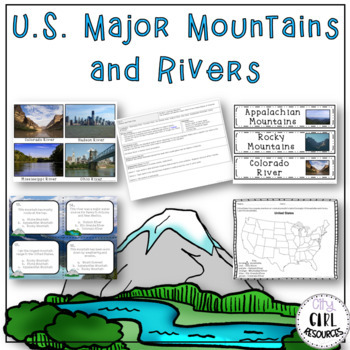
US Major Mountains and Rivers Unit with Lesson Plans
This week long activity pack covers the US major rivers and mountains ranges standard ( SS3G1 a&b). Included is five days worth of lesson ideas, vocabulary cards, interactive notebook activities and other resources that will engage your students while they learn this important standard. Included in this activity pack are the following:- Vocabulary ActivityLesson plan, vocabulary cards, picture cards for each river and mountain, interactive notebook pages for a composition book and spiral not
Subjects:
Grades:
3rd - 5th
Types:
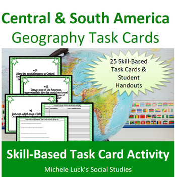
Central and South America Geography Task Cards Activity Latin American
Introduce students to Central and South America with fun and engaging task cards! Address the Geography of Central and South America while practicing skills and learning new and interesting facts about the region!This Task Card Set includes 25 cards to help students investigate the facts and practice geographic skills on the region of Central and South America. Covers topics such as longitude and latitude, physical features, culture, population, and so much more.Includes:25 Task Cards with cont
Grades:
5th - 10th
Types:
States & Capitals by Regions Digital Boom Cards | Distance Learning
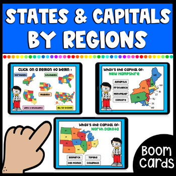
This set of Boom cards includes 111 cards using Flow Magic to help students in learning & practicing their states and capitals. Students will begin on the home page where they can click on whatever region they would like to practice. Regions include: Northeast, Southeast, Midwest, West & Southwest, or they may choose to practice all 50 states & capitals. Once they click on a region the deck will automatically take them to that set of cards to practice that specific region. At the end
Grades:
3rd - 6th
Types:
Also included in: States & Capitals Activity Bundle | Worksheets, Game, & Boom Cards
3rd Grade Social Studies Test Prep - Third Grade Social Studies Review
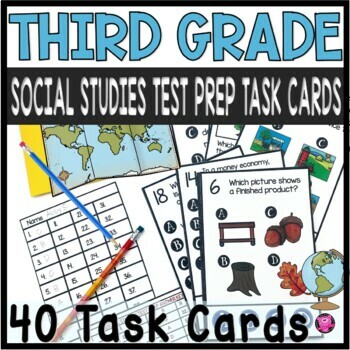
This resources include 40 DIGITAL and PRINTABLE task cards to make practicing and reviewing third grade social studies standards fun and engaging! Simple and easy to use with clear directions make these test prep task cards perfect for social studies centers and whole group SCOOT games! These 3rd grade test prep questions give students practice using map skills, reading timelines, identifying the seven continents, bodies of water, needs and wants, goods and services, and government.CLICK HERE fo
Grades:
3rd
Types:
American Imperialism Case Study Stations
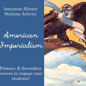
This is an engaging inquiry-based activity that allows students to consider the effects of American Imperialism. I use this as culminating activity after studying American overseas expansion, the Spanish-American War, and changes to American foreign policy.
Students will complete centers considering American expansion and its effects in the following places: Hawaii, Guam, Puerto Rico, the Philippines, and Panama.
Students will read primary sources, secondary sources, maps, infographics, and cu
Subjects:
Grades:
9th - 12th
Types:
Landforms and Bodies of Water | Land and Water Forms
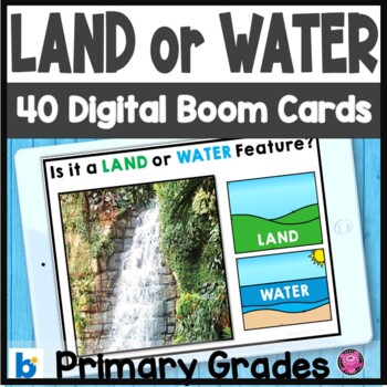
Do your students need practice with landforms and bodies of water? These 40 DIGITAL landforms and bodies of water Boom Card activities provide teaching and practice activities about Earth's different land habitats and bodies of freshwater and saltwater habitats. Using REAL PHOTOS of canyons, waterfalls, mountains, woods, and MORE students will study and observe 40 different features of Earth's. Quick and easy setup plus clear student directions make these water and land activities perfect for c
Subjects:
Grades:
PreK - 2nd
Types:
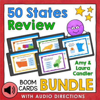
States and Capitals Boom Cards Bundle (With Audio Options)
The 50 States Review Boom Cards Bundle includes five decks of digital self-checking task cards with a total of 160 Boom Cards that are perfect for classroom use and remote learning. Each set of Boom Cards offers students a fun way to review the locations, capitals, and abbreviations of the states of the US, region by region. These Boom Cards are highly engaging and fun for students because they use a variety of answer choice styles including multiple choice, fill in the blank, and drag and drop.
Subjects:
Grades:
4th - 6th
Types:
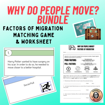
Why Do People Move? Factors of Migration BUNDLE w/ Worksheet and Memory Game
This document includes 2 different activities to help students learn about the various social, political, environmental, and economic factors that describe the movement of people. Save $$ by buying this bundle!1. 10 scenarios in a worksheet format + Answer Key2. 16 scenarios in a matching memory game + Answer KeyScenarios for both activities are different!It aligns with the Ohio Academic Content Standard for Social Studies, Grade 6: SOC.6.G.HS.7Political, environmental, social and economic facto
Grades:
5th - 8th
Types:
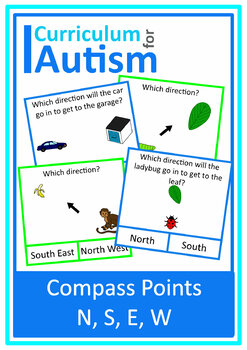
Compass Points Cardinal Directions Map Skills Geography Cards Autism Special Ed
North, South, East, West Compass Points Cardinal Directions clip cards for students with autism and special education needs.60 cards - 30 each of 2 levels of difficulty:-North, South, East & West -North East, South East, South West, North West Student reference cards showing the compass points are included for both levels.You might also like:Geography Sorting-Countries & CitiesShop more Geography & Science resources HERE★ Be the first to know about my new product launches. Look for t
Subjects:
Grades:
4th - 6th
Types:
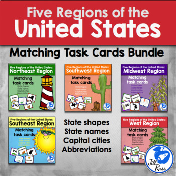
Five Regions: States and Capitals Task Cards Bundle
Five Regions States, Capitals, and AbbreviationsFive Regions States and Capitals Task Cards includes five separate sets of task cards that students can use to match in many different combinations. Task cards for each region include each state highlighted in the region, the outline of the state, the state name, the state capital city, and the two letter abbreviation for the state. Also each region includes a recording sheet for matching just the state to its name, and another recording sheet for
Subjects:
Grades:
3rd - 5th
Types:
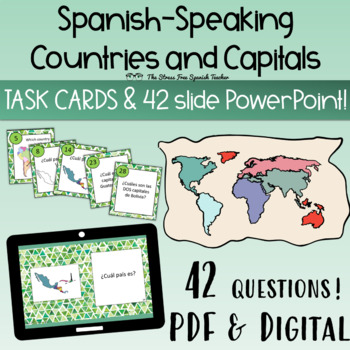
Spanish Speaking Countries Capitals 42 Task Cards and PowerPoint Presentation
42 Spanish class Task Cards PLUS a 42 slide PowerPoint to help your students practice the Spanish-speaking Countries and Capitals! ✅ 42 questions✅ printable and digital✅ colorful backgrounds & black and white✅ 42 slide PowerPoint with all questions ready to displayDigital classroom friendly Task Cards included!This resource is provided in a zipped file with the following resources-PDF version - Ready for printing! Low prep. Both colorful and black and white backgrounds, as well as student re
Subjects:
Grades:
9th - 11th
Types:
Also included in: SPANISH Build Your Own Bundle of Resources Tara 2
Communities - Urban, Suburban, and Rural
When beginning to learn about urban, suburban, and rural communities, the first thing that students must learn is the similarities and differences between them and it’s a hard thing to do! I’ve created these pages to help your students get them straight – once and for all!
***UPDATED MAY 3, 2016. PLEASE DOWNLOAD THE NEWEST VERSION WITH MORE ACTIVITIES. Go to "My Purchases" under "MY TpT".
IN THIS PACKET:
6 pages of Tips & Tricks for the teacher including a list of read aloud books to help
Subjects:
Grades:
1st - 4th
Types:
Also included in: Social Studies BUNDLE
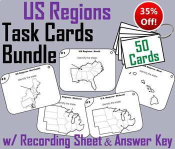
Five Regions of the United States Task Card Activity Bundle (US Geography Unit)
This task cards bundle on the five regions of the United States includes all 50 states which are outlined below:
All these lessons sell individually for $8; as a bundle they are 35% off, for $5.20!
1. Northeast
2. South and Southwest
3. Midwest
4. Western
========================================================
Customer Tips: How to get TPT credit to use on future purchases:
Go to your "My Purchases" page. Beside each purchase you will see a "Provide Feedback" button. On your "My Purchases
Grades:
3rd - 9th
Types:
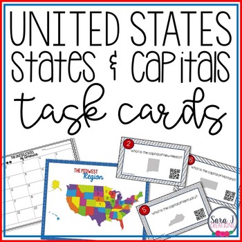
States and Capitals Task Cards
Make memorizing states and capitals a little more fun and engaging with States and Capitals Task Cards with QR Codes. This product can be used in lots of different ways including practicing by region, pre-assessment or even assessment. Students use a US map to practice locating the states and then use QR codes to check their answers. Students can use the individual task cards to practice the capital for each state.Included in this product:State Identification (map with separate QR codes) for
Subjects:
Grades:
3rd - 5th
Types:
Showing 1-24 of 246 results

