39 results
Geography activities for Microsoft Publisher
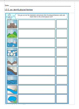
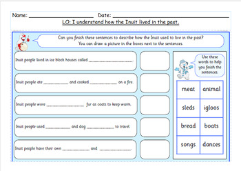
Physical and human features cut and stick worksheet.
Physical and human features cut and stick worksheet.
Subjects:
Grades:
3rd
Also included in: Year 2 Topic bundle.
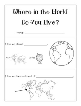
Where In The World Do You Live? Editable Map Booklet
I created this map booklet for my students to pin point exactly where they live in the world! Complete with a booklet cover, the pages start at their planet, then zoom in to continent, country, state, county, city, street and room. The students can write on the line and color/draw pictures for each page. Editable so that you can change the country, state, county and city/town as needed. This booklet was created originally for Virginia, Richmond specifically, but can be changed to suit where
Grades:
1st - 5th
Types:
Also included in: MAPS and GLOBES BUNDLE! - Social Studies
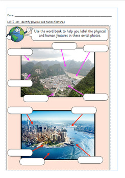
Human and physical features aerial worksheet.
Human and physical features aerial worksheet.
Subjects:
Grades:
2nd - 3rd
Also included in: Year 2 Topic bundle.
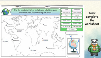
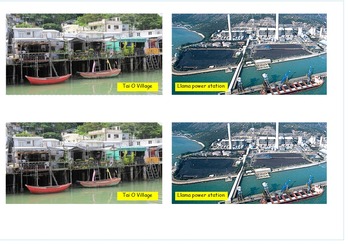
Coastal pictures lesson with activity for topic.
Coastal Adventure: Dive into the WondersOnce the topic is unveiled, brace yourself for an immersive coastal adventure! Our expert instructors will guide you through a captivating journey, sharing fascinating insights, captivating visuals, and real-life stories that bring the topic to life. Immerse yourself in the wonders of the coast as you explore its unique ecosystems, encounter its diverse inhabitants, and witness the forces that shape these stunning landscapes.
Subjects:
Grades:
2nd - 4th
Also included in: Coastal and map work bundle with worksheets.
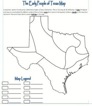
Map Activity - Texas Native Americans
Students color the map, create doodles and hashtags to better understand the Native Americans in early Texas.
Grades:
6th - 12th, Higher Education, Adult Education
Types:
States Project
Complete state project. Letter to parents included with rubric for grading. Directions for every component of project. Sheets for final draft of project as well as research sheets. Includes report and guidelines for all aspects of the project. Usable for any state.
Grades:
4th - 6th
Types:
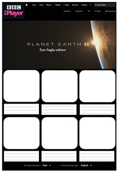
Human and Physical Features Geography Activity
Made from scratch resource, aimed to look like BBC iPlayer website. This has been used previously to describe different human/physical features in a particular region but can be adapted for any region. Children either stick in or draw human/physical features of a particular area/region/state/country and write a simple sentence to describe it below. Children responded well to it and it was an engaging resource.
Subjects:
Grades:
Not Grade Specific
Types:
Passports
This document is a student passport that will be used to help students in learning what continent a country is in, what other countries surround a country, what holidays they celebrate, what religions they have, what the traditional food is and what their flag looks like. Once students have completed the whole page in the passport the teacher will stamp their passport so they can make their way to the next country.This is an editable document so teachers can insert their names next to the stamp
Subjects:
Grades:
3rd - 4th
Types:
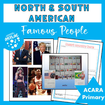
North and South America - Famous People
North and South America - Famous PeopleIncluded in this resource:This resource contains a template for children to complete directly on the computer. A set of 32 pictures of famous men and women from North and South America. Laminate the pictures, add a paper spring behind to create a 3D effect. This makes an outstanding classroom display. Remove border around information template for best results.Other products you may like:North American Countries Wordsearch and QuizSouth America Wordsearch an
Subjects:
Grades:
4th - 6th
Types:
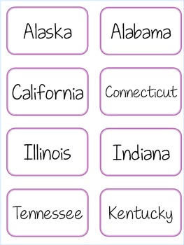
ABC Order/matching State Cards
These are cards created by Miss Louski to use in teaching and reinforcing ABC order. The cards have both the name of the state and the outline. They can be used to match them together if you put them on separate cards, or can be placed front to back to use to reinforce the shapes of the states.
I use these in centers and have students work together to put them in alphabetical order. The states are great because you have lots that start with the same letter and they really have to work at figuri
Subjects:
Grades:
2nd - 5th
Types:
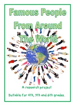
Famous People from Around the World
A Research Project with 3D effect of the famous person.
This package contains a research template and photos of famous people from 35 different countries around the world.
Children are required to complete research on their allocated person and fill in the simple template.
Find a flag from the country.
Cut out the outline of their person and back on stiff card
Attach the person with a concertina tab to give 3D effect
The results look stunning and make a wonderful display for your classroom.
I
Subjects:
Grades:
4th - 6th
Types:
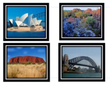
Australian Landmarks
Teach your children about famous Australian landmarks.
Use as picture cards. Have students name each landmark and challenge them to locate which state or territory in Australia where you can find them.
You could also enlarge each picture and use as posters to decorate your classroom.
Subjects:
Grades:
2nd - 4th
Types:
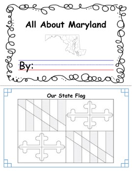
State Study
This product is a Maryland State study that I created for students to understand places and symbols of Maryland. It can be adapted to fit the state of your choice. I inserted a blank image of the Maryland flag for students to color. I am using this product with my first grade students.
Subjects:
Grades:
K - 2nd
Types:
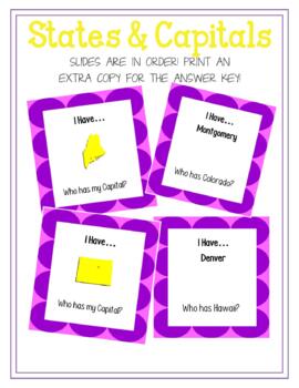
I have... Who has... States and Capitals
These I have...Who has... cards cover all 50 states and capitals. One card reads.... "I have... (then has a picture of a state)...Who has my capital?" the next card would read "I have... Austin... Who has Florida?" This game is meant to help the students learn their states and capitals as well as learning to recognize the states shape. There are 100 cards total and they all loop so you can start and stop wherever you would like. If you would like the master sheet that shows a picture of each
Grades:
4th - 8th
Types:
Address & Phone Book
Editable address and phone book that you can input student photos and print off for classroom. Currently used in dramatic play center and writing center. Students are able to learn their address and phone number while playing with it.
Subjects:
Grades:
PreK - 5th
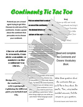
Continents Tic Tac Toe
This activity was designed with differentiation in mind. The center square is one all students do, the outside corners are the more challenging activities and the remaining four squares are less difficult. This was also designed to appeal to a variety of interests and students to make the learning more engaging for all of your students.
Subjects:
Grades:
3rd
Types:
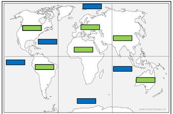
Continents and Oceans match up jigsaw
This resource is comprised of a blank world map divided into 6 sections for you to cut into 6 jigsaw pieces. The idea was that the children could first see if they could correctly assemble the world map first without any guidance.There are then labels for the children to correctly match up the oceans (blue labels) and continents (green labels).
Subjects:
Grades:
1st - 4th
Types:

Where in the World Wednesday - Syria
Where in the World Wednesday is a quick way to assess prior knowledge, pique students’ interest in a new geographical location, teach note taking skills, encourage critical thinking, and have FUN while doing it.
There are ten clues ranging from languages spoken, ethnicities, products and exports, current events, sports, popular leaders, tourist attractions, historical events, government, and indigenous animals. There is also a lesson extension provided for the teacher.
Grades:
6th - 8th
Types:
Where in the World Wednesday - Egypt
Where in the World Wednesday is a quick way to assess prior knowledge, pique students’ interest in a new geographical location, teach note taking skills, encourage critical thinking, and have FUN while doing it.
There are ten clues ranging from languages spoken, ethnicities, products and exports, current events, sports, popular leaders, tourist attractions, historical events, government, and indigenous animals. There is also a lesson extension provided for the teacher.
Grades:
6th - 8th
Types:
Where in the World Wednesday - Planet Earth
Where in the World Wednesday is a quick way to assess prior knowledge, pique students' interest in a new geographical location, teach note taking skills, enourage critical thinking, and have FUN while doing it.
Subjects:
Grades:
6th - 8th
Types:
Where in the World Wednesday - Somalia (Djibouti - Bonus!)
This is a quick way to assess prior knowledge, pique students' interest in a new geographical location, teach note taking skills, encourage critical thinking, and have FUN while doing it.
Students are asked to listen and record ten clues and then determine where in the world they might be. The lesson includes ideas for tangible rewards and extension activities.
Subjects:
Grades:
6th - 7th
Types:
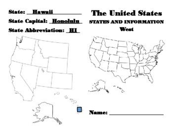
United States Capital, Abbreviation, Matching Fill In Book Answer Key
Answer Key to the "United States Capital, Abbreviation, Matching Fill In Book"This book is a great way for students to do research to learn the states, abbreviations, capital cities. The Unites States is broken into 5 regions and each region has it's own book. The pages are printed back to back and create a folded book with 8.5x11 sized paper. Each student will color in a state, then list the information they find out about it. They can look this information up online, on a map, encyclopedia, et
Grades:
3rd - 5th
Showing 1-24 of 39 results


