821 results
Geography activity images
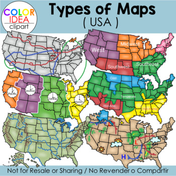
Types of Maps - USA
This set contains 39 images, wich includes 18 color images and 21 black line versions as shown on preview pages. Images saved at 300 dpi in png files.Included in this set:-Political map-Physical map-Landform map-Historical map (USA territorial acquisitions)-Weather map-Climate zone map-Time zone map-Regions map-Transportation map-USA contour map (2 colors)-Compass rose (2 styles)-3 different examples of maps scales-Elevation model-Contour elevationPLEASE NOTE: These are not exact maps, are gr
Grades:
PreK - 12th, Staff
Also included in: USA Maps - BUNDLE
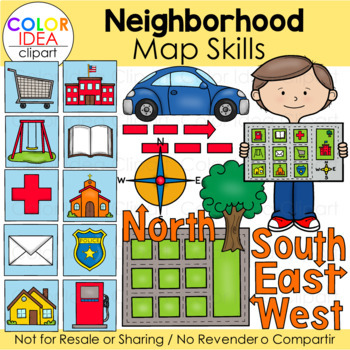
Neighborhood Map Skills
This set contains 64 images files as shown on preview pages wich includes 32 color images and 32 black line versions. Images saved at 300 dpi in png files.Check out these related clipart sets:Map Skills Clip ArtMap PointersTypes of Maps Clip Art (USA)I also have quite a complete selection of clipart in the following bundle:USA Maps - BUNDLEUS Regions BundleLandforms Bundle☆ Click to follow me to get freebies and updates on new products!☆ Follow Color Idea Clipart on Pinterest☆ Follow Color Ide
Grades:
PreK - 12th
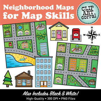
Map Skills Neighborhood Maps Clip Art
It's a beautiful day in the neighborhood! Have fun teaching Map Skills with this cute Neighborhood Maps clipart set! This collection contains 71 images (40 color, 31 bw) and features 6 different maps; and also includes blank maps and landmark icons for creating your own.All images are close-cropped, 300 dpi, png format. Check out the preview for a peek at what's included.You May Also Like:• Pirate Maps Clipart for Map Skills• Farm Maps Clipart Set• Town Maps Clipart Set• Camping Maps Clipart for
Grades:
Not Grade Specific
Also included in: Map Skills Maps Clip Art Bundle #1
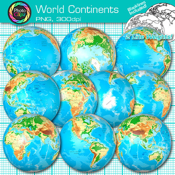
World Continent Clipart: Earth Seven Continents Map Geography Clip Art PNG
World Continent Clip Art: Explore the seven continents with your buddying social studies students using this pack of globe clipart. Create exciting visuals to teach about the seven continents of planet Earth. Design posters to illustrate the difference between the four hemispheres for your world geography unit. Make worksheets to instruct your students on learning map skills, longitude and latitude, as well as cardinal directions.WHAT IS CLIP ART?Clip art (or "clipart") are digital images that c
Grades:
PreK - 12th
Geography - Landforms - Continents and Oceans
Geography - Landforms - Continents and Oceans - Geography Worksheets - Power Point - Maps - Map Labeling - Flashcards - Clip Art Posters. Be the envy of world explorers everywhere and take your career-long geography bundle across many grade levels. This geography bundle includes the following: Click listings for full Previews. Geography - 100 Terms & DefinitionsGeography - Maps, Labeling, Questions:28 USA Maps35 World Maps50 U.S. State Map Outlines100 USA Geography Questions100 World Ge
Subjects:
Grades:
2nd - 7th
Types:
Also included in: Top 20 Best Sellers
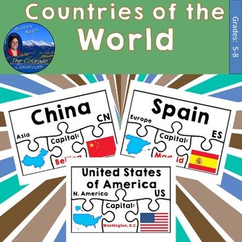
Countries of the World Geography Puzzles Bundle
Countries of the World Geography Puzzles help students learn basic geography in a fun and interactive manner. Puzzles feature the country name, capital, continent, abbreviation, an outline map of the country, and the nation’s flag all for matching. Answer keys are provided.This includes 6 PDFs.Countries included as of this date are…AlbaniaAfghanistanAndorraAntigua & BarbudaArgentinaAustraliaAustriaBahamasBahrainBarbadosBelarusBelgiumBelizeBoliviaBotswanaBrazilBulgariaCanadaChileChinaColomb
Grades:
5th - 8th
Types:
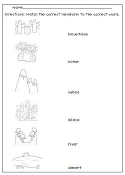
Landforms Matching Worksheet
My Landforms worksheet goes along with the Landform picture cards. After studying and learning about the cards, this is a great way to see if your students grasped the concept, a good formative assessment.
Thank you to Scrappin Doodles for the adorable clipart.
Subjects:
Grades:
K - 6th
Types:
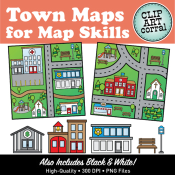
Map Skills Town Maps Clip Art
Get down, turn around, go to town! Have fun teaching Map Skills with this cute Town Maps clipart set! This collection contains 90 images (46 color, 44 bw) and features 6 different maps (with corresponding blank maps), community buildings and other icons for creating your own.Community Buildings Included:- hospital- police station- fire hall- school- library- church- dentist- theatre- bank- post office- grocery store- restaurantOther Icons Included:- bus stop- picnic table- parking lot (x2)- play
Grades:
Not Grade Specific
Also included in: Map Skills Maps Clip Art Bundle #1
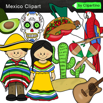
Mexico Clip Art /Mexico symbols Clip Art mini Bundle
Mexico Clipart 10 color PNG&JPG+10 black white PNG&JPGSize one image about 8 inch by 4 inchFor personal and commercial use.You'll like it!All countries of the worldDownload the archive with the license and logo by the linkhttps://www.teacherspayteachers.com/Product/License-Credit-logo-by-Clipartino-3785741Keywords: clipart, sale, bundle, bw, coloring, outline, countries, symbols, America, Latin America clip art, latin map, geography, around the world, Mexico
Grades:
Not Grade Specific
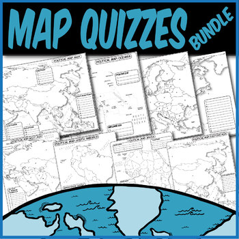
*QUIZZES BUNDLE* Political Maps **Coloring Book Quiz Series**
**MAP QUIZZES**Included:Africa Map QuizAsia Map QuizEast Asia Map QuizWestern Asia Map QuizEurope Map QuizN. America/C. America Map QuizS. America Map QuizOceania Map QuizThese blank political map quizzes are ready for students to label. Each independent country is labeled with a letter than corresponds to a blank space.These are particularly great for AP Human Geography, AP European History, AP World History, any social science, or physical science course.The formats are .PNG to allow for you t
Grades:
Not Grade Specific
Types:
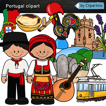
Portugal Clip art
Portugal Clip art 10 color PNG & JPG+10 black white (outline) PNG & JPGSize one image about 8 inch by 4 inchFor personal and commercial use.You'll like it!All countries of the worldDownload the archive with the license and logo by the linkhttps://www.teacherspayteachers.com/Product/License-Credit-logo-by-Clipartino-3785741Keywords: Europe, Asia, clipart, clip art, sale, bundle, bw, coloring, outline, countries, symbols, map, geography, around the world, landmark, animals, national dress
Grades:
Not Grade Specific
Also included in: Countries Clip Art Bundle- PART 9 /Portugal /Israel /Norway /Vietnam
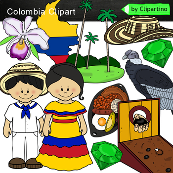
Colombia Clip Art /Symbols of Colombia Clip Art commercial use
Colombia Clipart 10 color PNG&JPG+10 black white PNG&JPGSize one image about 8 inch by 4 inchFor personal and commercial use.You'll like it!All countries of the worldDownload the archive with the license and logo by the linkhttps://www.teacherspayteachers.com/Product/License-Credit-logo-by-Clipartino-3785741Keywords: clipart, sale, bundle, bw, coloring, outline, countries, symbols, America, Latin America clip art, latin map, geography, around the world, Colombia
Grades:
Not Grade Specific
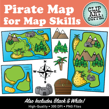
Map Skills Pirate Treasure Island Map Clip Art
Arrrr! Teaching Map Skills has never been so fun with this Pirate Map clipart set! This collection contains 57 images (29 color, 28 bw) and features 3 different maps plus stand-alone islands and landmark icons for creating your own.All images are close-cropped, 300 dpi, png format. Check out the preview for a peek at what's included.You May Also Like:• Neighborhood Maps Clipart• Town Maps Clipart for Map Skills• Camping Maps Clipart for Map Skills• Farm Maps Clipart Set• Landforms Clipart Set• P
Grades:
Not Grade Specific
Also included in: Pirate Map Skills and Pirate Kids Clip Art Bundle
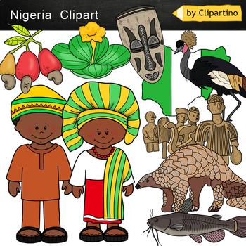
Nigeria Clip Art
Nigeria Clipart 10 color PNG&JPG+10 black white (outline) PNG&JPGSize one image about 8 inch by 4 inchFor personal and commercial use.You'll like it!All countries of the worldDownload the archive with the license and logo by the linkhttps://www.teacherspayteachers.com/Product/License-Credit-logo-by-Clipartino-3785741Keywords: Africa, clipart, sale, bundle, bw, coloring, outline, countries, symbols, Africa clip art, map, geography, around the world, landmark, african animals, safary, dese
Grades:
Not Grade Specific
Also included in: Africa #1 Countries Clip Art Bundle - PART 5
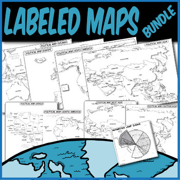
*LABELED POLITICAL MAP BUNDLE* **Coloring Book Series**
**LABELED MAPS**Included:Labeled Africa Map Labeled Asia Map Labeled East Asia Map Labeled Western Asia Map Labeled Europe Map Labeled N. America/C. America Map Labeled S. America Map Labeled Oceania Map Labeled Antarctica Claims MapThese labeled political maps are ready for students to use. Each independent country and state is pre-labeled. Students can use these to create choropleth maps, practice rote memorization, or annotate along with your lecture.These are particularly great for AP Human
Grades:
Not Grade Specific
Types:
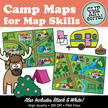
Map Skills Camping Maps Clip Art
Hi-dee-ho Campers! Have loads of fun teaching Map Skills with this delightful Camping Maps clipart set! This collection contains 83 images (43 color, 40 bw) and features 6 different maps (with corresponding blank maps), camping accessories and other icons for creating your own.Camp Map Images Included:- tent- trailer / camper- firepit- firewood- chair- bike- fence- outhouse- canoe- bridge- dock- swing set- paddle shack- trees and bushes- waterfall- moose- sailboat- lake- road segments- river- fi
Grades:
Not Grade Specific
Also included in: Map Skills Camp Maps and Camping Kids Clip Art Bundle
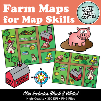
Map Skills Farm Maps Clip Art
Let's go to the Farm! Get excited about teaching Map Skills with this fun Farm Maps clipart set! This collection contains 70 images (35 color, 35 bw) and features 6 different maps (with corresponding blank maps), farm accessories and other icons for creating your own.Farm Map Images Included:- Barn- Silo- Hay Bales- Windmill- Tractor- Garden- Wheel Barrow- Fence- Horse- Pig- Water Trough- Duck- Pond- Trees- Compass Rose- Road SegmentsAll images are close-cropped, 300 dpi, png format. Check out t
Grades:
Not Grade Specific
Also included in: Farm Maps, Farm Animals and Farm Kids Clip Art Bundle
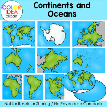
Continents and Oceans
Teach your students all about Continents and Oceans with this clipart set.This set contains 36 images as shown on preview pages, which includes 18 color images and 18 black line versions. Images saved at 300 dpi in png files.Check out these related clip art set:Weathering, Erosion and DepositionTypes of Maps Clip Art (USA)I also have quite a complete selection of clipart in the following bundle:Earth Science - Geology Mega BundleLandforms BundleUSA Maps - BUNDLE☆ Click to follow me to get freebi
Subjects:
Grades:
PreK - 12th
Also included in: Science Mega Growing Bundle 1
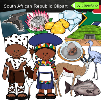
South African Republic Clip Art
South African Republic clipart 10 color PNG&JPG+10 black white (outline) PNG&JPGSize one image about 8 inch by 4 inchFor personal and commercial use.You'll like it!All countries of the worldDownload the archive with the license and logo by the linkhttps://www.teacherspayteachers.com/Product/License-Credit-logo-by-Clipartino-3785741Keywords: Africa, clipart, sale, bundle, bw, coloring, outline, countries, symbols, Africa clip art, map, geography, around the world, landmark, african anima
Grades:
Not Grade Specific
Also included in: Africa #1 Countries Clip Art Bundle - PART 5
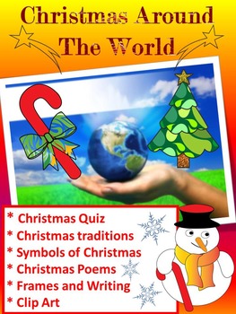
Christmas Around The World - 20 Countries - Quiz - Christmas Poems
Christmas Around The World - Christmas Quiz - Christmas Poems - Christmas traditions ( United States, Canada, Alaska, Brazil, Argentina, Venezuela, China, Russia, Japan, Italy, Spain, France, Greece, Bulgaria, Finland, Germany, United Kingdom, Ukraine, Australia, Christmas in Africa)
This is a set of 90 different pages- PDF
- Christmas Quiz
- Symbols of Christmas
- Christmas Poems
- Frames
- Writing paper
- Clip Art
- Maps
- Christmas traditions
United States
Canada
Alaska
Brazil
Argentina
Vene
Grades:
PreK - 5th
Types:
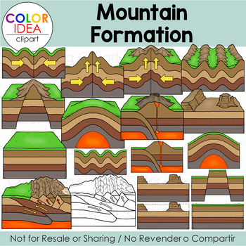
Mountain Formation
This clipart set will help your students learn about the types of mountains and how they formed. Included in this set: fault-block, volcanic, fold, dome and residual.This set contains 34 images as shown on preview pages, 17 color images and 17 black line versions. Images saved at 300 dpi in png files.Check out these related clip art set:Layers of the EarthIgneous Rocks FormationSedimentary Rocks FormationEarthquakesVolcano Clip ArtWeathering, Erosion and DepositionLandslidesI also have quite a
Subjects:
Grades:
4th - 12th
Also included in: Changes to Earth's Surface Bundle
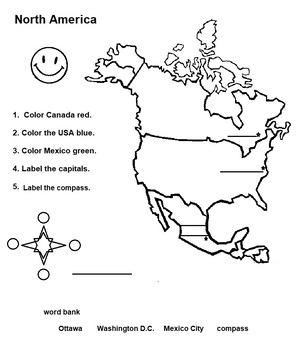
North America Map of Countries with Capitals and Flags
Great activity for younger learns who are studying the countries, capitals and flags of North America.
Subjects:
Grades:
1st - 3rd
Types:
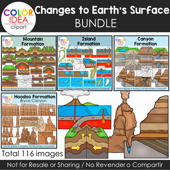
Changes to Earth's Surface Bundle
Your students will learn about Changes to he Earth's Surface with these clipart sets. This bundle contains 4 clipart sets:Mountain FormationIsland FormaionCanyon FormationHoodo FormationTotal 116 images. Color and black line versions. Images saved at 300 dpi in png files.Check out these related clip art set:Weathering, Erosion and DepositionContinents and OceansLayers of the EarthIgneous Rocks FormationSedimentary Rocks FormationEarthquakesVolcano Clip ArtI also have quite a complete selection o
Subjects:
Grades:
4th - 12th
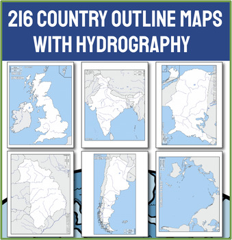
Ultimate Collection of 216 Political Outline Country Maps with Names
Unlock the world in your classroom with our Ultimate Collection of 216 Political Outline Country Maps! With this comprehensive set of political outline maps, the world is literally at your students' fingertips. This meticulously curated set includes every sovereign nation, each clearly outlined and labeled with its country name, making it an indispensable resource for any educator needing a map. CHECK OUT THE PREVIEW for 50 ideas for using these maps in your next lesson!Why Choose This Country M
Grades:
Not Grade Specific
Showing 1-24 of 821 results


