17 results
Geography activities for Prezi
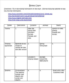
Biomes, Ecosystems and Movies!!
What do Biomes and Disney movies have in common? Many Disney movies take place in the Earth's diverse biomes. There are four different activities in this mini-unit. *In the first activity, students will use provided websites to fill in a chart of nine different biomes. *In the second activity, students will play a game matching biomes to animated Disney movies. *In the third activity, students will work in groups to research how human activity can affect biomes. *In the fourth activity, I h
Subjects:
Grades:
4th - 7th
Types:
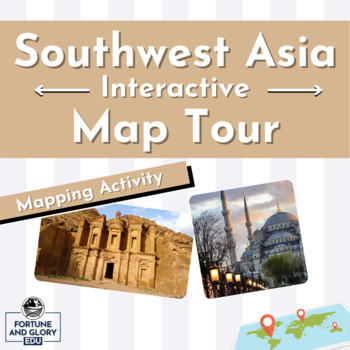
Southwest Asia Interactive Map Tour - Student Mapping Activity
Great mapping activity for both in-person and virtual students. The Southwest Asia Interactive Map Tour allows students to navigate a Prezi presentation as they label and color their blank map at their own pace. The activity allows for differentiation among students at different levels and is great for ESL learners. The Map Tour includes: Blank Southwest Asia Maps: Blank political maps of the region are ready to be printed and great for students to label and color. One map has a list of key
Grades:
8th - 11th
Types:
South Asia Interactive Map Tour - Student Mapping Activity
Great mapping activity for both in-person and virtual students. The South Asia Interactive Map Tour allows students to navigate a Prezi presentation as they label and color their blank map at their own pace. The activity allows for differentiation among students at different levels and is great for ESL learners. The Map Tour includes: Blank South Asian Maps: Blank political maps of the region are ready to be printed and great for students to label and color. One map has a list of key ter
Grades:
8th - 11th
Types:
Africa Interactive Map Tour - Student Mapping Activity
Great mapping activity for both in-person and virtual students. The Africa Interactive Map Tour allows students to navigate a Prezi presentation as they label and color their blank map at their own pace. The activity allows for differentiation among students at different levels and is great for ESL learners. The Map Tour includes: Blank Africa Maps: Blank political maps of the region are ready to be printed and great for students to label and color. One map has a list of key terms for studen
Grades:
8th - 11th
Types:
Western Europe Interactive Map Tour - Student Mapping Activity
Great mapping activity for both in-person and virtual students. The Western Europe Interactive Map Tour allows students to navigate a Prezi presentation as they label and color their blank map at their own pace. The activity allows for differentiation among students at different levels and is great for ESL learners. The Map Tour includes: Blank Western Europe Maps: Blank political maps of the region are ready to be printed and great for students to label and color. One map has a list of k
Grades:
8th - 11th
Types:
Latin America Interactive Map Tour - Student Mapping Activity
Great mapping activity for both in-person and virtual students. The Latin America Interactive Map Tour allows students to navigate a Prezi presentation as they label and color their blank map at their own pace. The activity allows for differentiation among students at different levels and is great for ESL learners. The Map Tour includes: Blank Latin America Maps: Blank political maps of the region are ready to be printed and great for students to label and color. One map has a list of key te
Grades:
8th - 11th
Types:
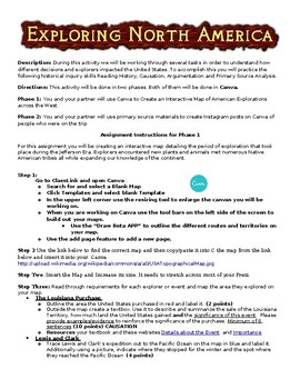
Exploring North America Interactive and Instagram Primary Source Activity--CANVA
This Project is Designed for CANVA, but could be converted to Prezi.his activity combines several historical thinking skills that are meant to help the students understand the importance and impact of the American explorations of the North American Continent during the Jefferson Era. The historical thinking skills for the first section are evidence analysis, identifying and describing causation, and argumentation.In the first section of the project, the students use secondary source material to
Grades:
6th - 10th
Types:
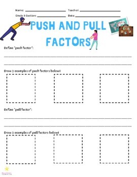
Push and Pull Factors
This set includes a link to a digital presentation that introduces immigration to Texas in the mid-1800s and helps students to identify push and pull factors.The assignment that goes with the digital presentation (3 pages) has students define push and pull factors, draw examples of each, identify whether a situation should be considered a push or pull factor and then students will write 2 examples of their own! The assignment itself could be used for other areas of study outside of Texas history
Grades:
4th - 12th
Types:
Also included in: Immigration to Texas - Mini Bundle - Texas History
Eastern Europe Interactive Map Tour - Student Mapping Activity
Great mapping activity for both in-person and virtual students. The Eastern Europe Interactive Map Tour allows students to navigate a Prezi presentation as they label and color their blank map at their own pace. The activity allows for differentiation among students at different levels and is great for ESL learners. The Map Tour includes: Blank Eastern Europe Maps: Blank political maps of the region are ready to be printed and great for students to label and color. One map has a list of
Grades:
8th - 11th
Types:
East Asia Interactive Map Tour - Student Mapping Activity
Great mapping activity for both in-person and virtual students. The East Asia Interactive Map Tour allows students to navigate a Prezi presentation as they label and color their blank map at their own pace. The activity allows for differentiation among students at different levels and is great for ESL learners. The Map Tour includes: Blank East Asia Maps: Blank political maps of the region are ready to be printed and great for students to label and color. One map has a list of key terms
Grades:
8th - 11th
Types:
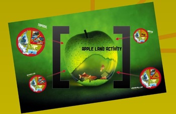
Apple Land Activity (Earth Slice)
BONUS - FREE PREZI INCLUDED!
Get students engaged by having them cut/divide an apple to represent the amount of usable farmland on Earth.
This fun and creative activity introduces students to concepts of farmland availability and sustainability. Students will either participate in or observe a guided apple slice activity where they will discover the amount of usable farmland on Earth. Each slice that is removed is specifically related to a type of typography/ecosystem/or human development on
Subjects:
Grades:
6th - 12th
Types:
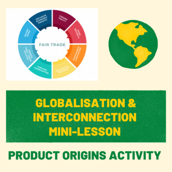
Interconnections Mini-Lesson & Product Origins Activity
This Mini-Lesson functions as a short introduction to the concept of Interconnections and Globalisation more broadly. This bundle contains a lesson plan & notes detailing the mini-lesson (discussion questions, basic information, a link to a Prezi for the lesson and several activities). The mini-lesson also includes a short video, helpful links to an interactive interconnection map, and two worksheets for the Product Origins Activity. This pack is a great introduction to a broad concept and w
Subjects:
Grades:
6th - 10th
Types:
Southeast Asia Interactive Map Tour - Student Mapping Activity
Great mapping activity for both in-person and virtual students. The Southeast Asia Interactive Map Tour allows students to navigate a Prezi presentation as they label and color their blank map at their own pace. The activity allows for differentiation among students at different levels and is great for ESL learners. The Map Tour includes: Blank Southeast Asia Maps: Blank political maps of the region are ready to be printed and great for students to label and color. One map has a list of key
Grades:
8th - 11th
Types:
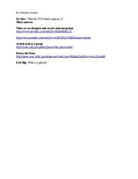
Glaciers Lesson Plan
This lesson plan includes a do now, exit slip, Prezi, videos, and an article about glaciers.
Subjects:
Grades:
5th - 6th
Types:
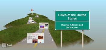
US Cities Decimal Addition & Subtraction Prezi
5 Addition and Subtraction with Decimals problems total. Each slide shows photos as well as contains information about a different state and cities. Can be used to integrate Social Studies and Math. Discussion question slide at the end of this Prezi.
Subjects:
Grades:
6th - 7th
Types:
CCSS:
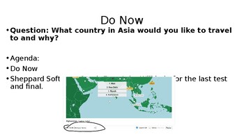
Sheppard Software South East Asia
This product will allow students to learn the capitals and countries of Southeast Asia. They click the link and they need to screenshot and get at least a 50% to get credit. Students will learn their countries. Very useful.
Grades:
5th - 12th
Types:
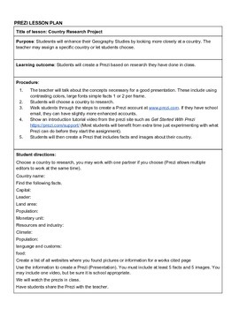
Prezi Lesson Plan for Country Research Project
Prezi Lesson Plan for Country Research Project with rubric
Subjects:
Grades:
6th - 9th
Types:
Showing 1-17 of 17 results


