21 results
Geography worksheets for Microsoft Publisher
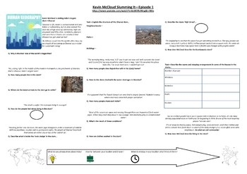
Geography - Kevin McCloud: Slumming It - Episode 1 - Supporting Worksheet
Worksheet written to support Kevin McCloud: Slumming It - Episode 1. This worksheet focuses on the slum in Dharavi and how an outsider views the conditions and community within it.It includes a variety of data collection activities and higher order thinking tasks to differentiate.I have written this for GCSE students studying World Cities, Urbanistaion, Urban Issues and Resource Management. This can also be adapted for A Level studnents.I have also included a statistical-analytical comparison ta
Subjects:
Grades:
Not Grade Specific
Types:
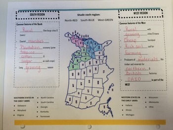
Early Regions of the United States
This brochure is used as a graphic organizer that the students complete and glue into their Social Studies interactive notebook. The organizer distinguishes between the main characteristics dividing the early regions of the United States into the North, South, and West.
Ohio's New Learning Standards Geography 11: The regions which became known as the North, South, and West of the United States developed in the early 1800s largely based on their physical environments and economics.
Grades:
3rd - 7th
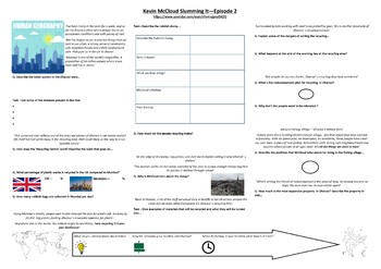
Geography - Kevin McCloud: Slumming It - Episode 2 - Supporting Worksheet
Worksheet written to support Kevin McCloud: Slumming It - Episode 2. This worksheet focuses on the slum in Dharavi and the issues of recycling, redevelopment and the future of the slum.Written in Publisher formatted to A3.
Subjects:
Grades:
Not Grade Specific
Types:
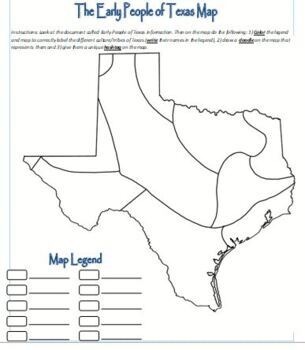
Map Activity - Texas Native Americans
Students color the map, create doodles and hashtags to better understand the Native Americans in early Texas.
Grades:
6th - 12th, Higher Education, Adult Education
Types:
Human and Physical Features Geography Activity
Made from scratch resource, aimed to look like BBC iPlayer website. This has been used previously to describe different human/physical features in a particular region but can be adapted for any region. Children either stick in or draw human/physical features of a particular area/region/state/country and write a simple sentence to describe it below. Children responded well to it and it was an engaging resource.
Subjects:
Grades:
Not Grade Specific
Types:

WWII Part 1-Map and Quiz template
WWII Part 1-Map and Quiz template
Subjects:
Grades:
9th - 12th
Types:
Also included in: US History - WWII Part 1 Bundle
Rainforests topic introduction sheets - differentiated 3 ways
A set of writing prompt sheets for starting off your rainforest topic. Full of question prompts to get your students thinking about what they are going to learn in the topic, and to encourage them to ask searching questions to direct their learning.
I use these as the first lesson of the new topic, then we look through them as a class and plan out the lessons we need to have in order to answer the children's questions.
Subjects:
Grades:
2nd - 4th
Types:

All About New York Brochure
I use this to go along with my 4th grade social studies unit. This is a brochure for students to display what they have learned about the state of New York. This can be edited to use for other locations.
Grades:
Not Grade Specific
Types:
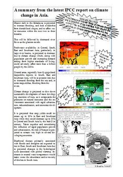
Asia & Climate Change
As part of a unit on China. Collated information from the IPCC report in 2007. Students analyse this, plus some political cartoons I found to talk about the links between climate change and Asia. This is a bit old now, so will be on permanent discount!If you really like this resource and want to support me a little more, please consider also buying me a 'coffee'! :) Asia & Climate Change by Kit Rackley is licensed under a Creative Commons Attribution-NonCommercial-ShareAlike 4.0 Internationa
Subjects:
Grades:
6th - 10th
Types:
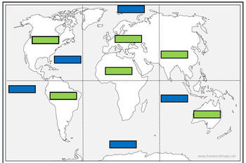
Continents and Oceans match up jigsaw
This resource is comprised of a blank world map divided into 6 sections for you to cut into 6 jigsaw pieces. The idea was that the children could first see if they could correctly assemble the world map first without any guidance.There are then labels for the children to correctly match up the oceans (blue labels) and continents (green labels).
Subjects:
Grades:
1st - 4th
Types:

Central America and the Caribbean Map - Blank with list
Map of Central America and the Caribbean with list of countries and major cities. Can be edited.
Grades:
5th - 12th
Types:
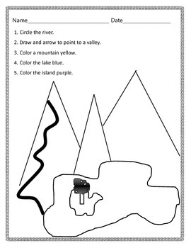
Landforms Identification Assessment
This is an editable document using Microsoft Publisher. It assesses the students ability to identify a river, a valley, a mountain, a lake, and an island.
Subjects:
Grades:
K - 2nd
Types:

South America Map - Blank with list
Blank map of South America with a list of countries, major cities, and geographic features. Can be edited.
Grades:
5th - 12th
Types:


Where in the world are we located?
This is a student booklet that teaches them exactly where they live. It starts by locating contintents, then country, region, state, state region, county, and city or town. You can change the local pages to meet your own needs.
Subjects:
Grades:
2nd - 5th
Types:

Map Template
This is a blank grid map that can be used for creating your own map. This would work well for a map of your town or community. Grades k-3 can use this simple map template.
Subjects:
Grades:
K - 3rd
Make a Treasure Map
Teaching your students about maps? Allow them to create their own treasure maps! Space for a key is provided.
Subjects:
Grades:
K - 2nd
Types:
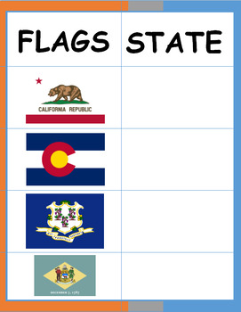
States of the USA (Flags) Activity Sheet
This activity will help you to memorize the flags of each state of USA (Flashcards of flags coming soon).
Subjects:
Grades:
5th
Types:

India labelling and shading worksheet
Help your children label some geographical features of India, and it's surroundings.
Subjects:
Grades:
Not Grade Specific
Types:

Locating and naming famous volcanoes
This was used with a year 3 class, we were locating and naming the famous volcanoes in the world. It has been differentiated 3 ways- highers have to locate and name the volcanoes, middles have to locate and name them from the arrows and lowers have to write in key facts using the factfiles. This can be adapted for different abilities.
Subjects:
Grades:
3rd
Types:

World Religion Facebook Page
Gives students a format to create a facebook for various world religions
Grades:
6th - 12th
Types:
Showing 1-21 of 21 results


