2,068 results
Geography activities for Easel
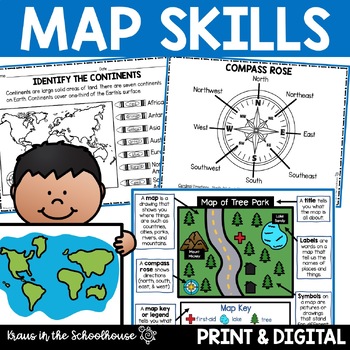
Map Skills Activities and Worksheets Maps Globes Landforms Continents & Oceans
Make learning fun for your students when teaching map skills. Map skills topics include maps, globes, continents, oceans, landforms, water forms, suburban, urban, rural, directions, and more. This resource is perfect for second, third, and fourth grade students. Digital activity included using Easel by TpT.These activities can be used during whole group instruction, independent work, and center time. Easy-to-use activity sheets with clear directions and answer keys are provided.HERE'S WHAT YOU'L
Grades:
2nd - 4th
Types:
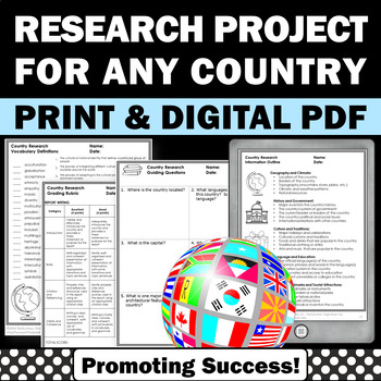
Country Research Projects Study Report Countries Around the World Research
Country Research Projects: This newly revised (July 2023) country study worksheet packet will help your 4th grade, 5th grade, and 6th grade social studies students conduct a country study research project for countries around the world. It not only includes country research graphic organizers and templates and for gathering information and conducting country research, but also guidance and skills for country report writing and giving a presentation. Grading rubrics, answer keys, differentiated a
Subjects:
Grades:
4th - 7th
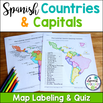
Spanish-Speaking Countries and Capitals Maps and Quiz
This is a map labeling activity and matching quiz over the 21 Spanish-speaking countries and capitals. Students will label and identify the 21 Spanish-speaking countries and capitals in Spanish. This is a great activity when reviewing Spanish-speaking countries and capitals or Spanish geography. Makes a great coloring page. Answer keys are included.
Countries included:
España, México, Costa Rica, El Salvador, Guatemala, Honduras, Nicaragua, Panamá, Cuba, La República Dominicana, Puerto Rico, Ar
Subjects:
Grades:
6th - 12th
Also included in: Spanish Countries and Capitals Geography Bundle
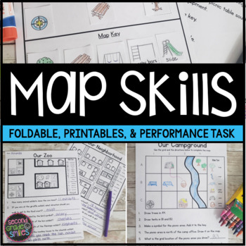
Map Skills Worksheets & Performance Task | Print & Easel
Practice using a map key, a compass rose, and a scale to read, interpret, and create basic maps! These printables are perfect for teaching geography or quick map skills assessments in first grade, second grade, or third grade! The following print-and-go map skills activities are included:Map Vocabulary Foldable: Students cut along the dotted lines to create three flaps and then fold along the solid line. Under each flap, students define the vocabulary word shown on the top of the flap. Words inc
Grades:
1st - 3rd
Types:
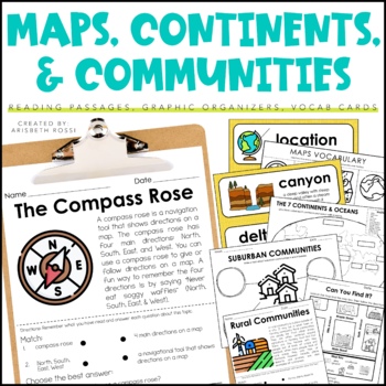
Maps and Globes - 7 Continents and Oceans- Landforms Map Skills Activity
This interactive and engaging resource will help your students learn all about Map Skills, Globes, Continents, Landforms, and Communities! These Map Skills activities will not only have your students learning the importance of locating on places on maps and globes, they’ll also be learning about constructing and reading a simple map, using cardinal directions and identifying map symbols. Lastly, they'll also compare and contrast basic land use in urban, suburban, and rural environments.This Maps
Grades:
1st - 3rd
Types:
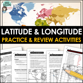
Latitude and Longitude Worksheet Activities for Practice and Review
Do your students struggle with latitude and longitude? Use this resource to help your students learn the fundamentals of latitude and longitude and apply their knowledge to simple maps.This resource includes reference/note sheets on latitude and longitude, the important lines of latitude (Equator, Tropics, Arctic / Antarctic Circle), and longitude (Prime Meridian, Date Line), and how to find a location on Earth using coordinates. This package also includes five worksheets for students to apply
Subjects:
Grades:
6th - 8th
Types:
Also included in: Latitude and Longitude Bundle - Activities, Task Cards, & Posters
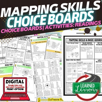
Geography Mapping Skills Activities, Geography Choice Board, Reading Passages
Mapping Skills and Basic Geography Choice Boards, Mapping Skills Readings Google Classroom, Print & Digital Learning provides differentiated activities to use with students to master the content. THIS IS ALSO PART OF SEVERAL BUNDLES World Geography MEGA BUNDLE AND World Geography Choice Board Activity BUNDLE AND Mapping Skills BUNDLE Choice Board Activities and Mapping Skills Readings Including the following: Mapping ActivityCartographerMap ScaleTypes of MapsTime ZonesRoad MapsLand and Wate
Grades:
7th - 12th
Types:
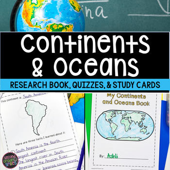
Continents and Oceans Geography Research, Study Cards, Quizzes | Print & Easel
This seven continents and major oceans geography resource includes: Continent Student Book - A cover page, label by number student maps, and pages picturing an outline of each of the 7 continents with space for students to write three facts about the continent are included.Continent and Ocean Quizzes - Both continent and ocean options come with and without word banks. Answer keys are included.Continent Study Cards - Each study card features a picture of the continent and the continent’s name.
Subjects:
Grades:
1st - 3rd
Types:
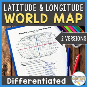
Latitude and Longitude Worksheet | Differentiated Activity| World Map
Students will practice following latitude and longitude coordinates to identify continents and oceans on a world map. This activity comes with 2 differentiated versions to meet your students' needs! Worksheet A has no labels, so students can practice identifying continents, oceans, and 2 (easily identifiable) countries as they follow the Latitude and Longitude coordinates! Worksheet B is similar, and perfect for ELL's or struggling learners! The map on this version is labeled, so students can re
Subjects:
Grades:
4th - 8th
Types:
Also included in: Latitude and Longitude ACTIVITY BUNDLE!
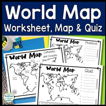
World Map: World Map Quiz (Test) and Map Worksheet | 7 Continents and 5 Oceans
Map of the World Test: Easy-to-read World Map Quiz requires students to locate 7 Continents and 5 Oceans. This resource also includes a world map printable for kids to practice learning the map of the world. Students must label continents and oceans: 7 Continents (Asia, Africa, North America, South America, Antarctica, Australia & Europe) and 5 Oceans (Atlantic, Pacific, Indian, Arctic & Southern). This is an ideal continents and oceans activities for 1st grade, 2nd grade, 3rd grade, 4th
Grades:
2nd - 6th
Types:
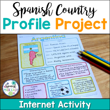
Spanish Country Profile Project
This is a country profile project over the 21 Spanish-speaking countries. Students will research important geographical and cultural facts about each country. This activity includes a blank country profile template, a template for each country, a list of Spanish-speaking countries, and a grading rubric in both English and Spanish. Research topics include: Countries flag, map, capital, language(s), population, area, currency, climate, interesting facts, tourism and attractions, cuisine, sports, a
Subjects:
Grades:
2nd - 12th
Types:
Also included in: Spanish Countries and Capitals Geography Bundle
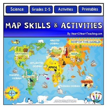
Back to School Map Skills Worksheets First Day of Social Studies 2nd 3rd Grades
Back to School Map Skills with US Maps & World Maps Activities. Learning about Map Skills has never been so much fun! This resource has several engaging map activities that will have students hunting for answers. It works well for centers and is perfect for a beginning-of-the-school-year activity. A complete unit with activities for students to practice their map skills. High-resolution maps are included for students to use for completing a variety of map activities. Students can use maps fo
Grades:
2nd - 5th
Types:
Grade 2 Social Studies Ontario Global Communities 2023
This package includes:Shared reading passages, Easy-to-follow worksheets, Differentiated tasks (Low and High), Unit Quiz, Unit Review Tests, Answer Key, All expectations in "People and Environments" Strand covered, Includes 3 Formats:1. PDF Download:Download PDF and photocopy worksheets2. TPT EASEL Activity:EASEL FAQEASEL Tutorial3. Google Slides:Download PDF and click on the link at the bottom of the contents pageMake your own copy of the Google Slides when promptedBased on the Ontario Curricul
Grades:
2nd
Types:
Also included in: Grade 2 Ontario Social Studies Bundle 2023
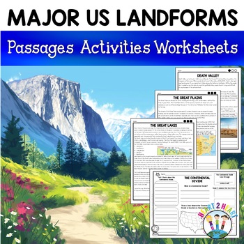
Major US Landforms Yellowstone National Park Yosemite National Park Grand Canyon
Our Major US Landforms unit includes reading passages and activities about the Great Lakes, Yellowstone, Grand Canyon, Arches National Park, Yosemite, Great Plains, Death Valley & more! Reading passages come in 3 levels of difficulty.These geographical features are included:The Great BasinThe Gulf of MexicoThe Great LakesDeath ValleyThe Atlantic Coastal PlainThe Continental DivideThe Great PlainsArches National ParkGrand CanyonYellowstone National ParkYosemite National ParkA Digital Version
Grades:
3rd - 5th
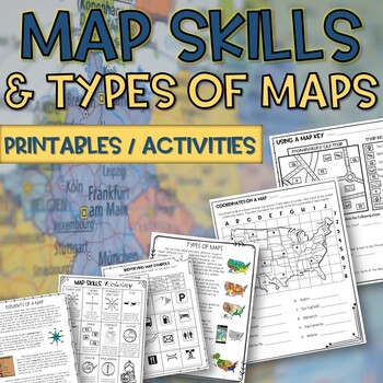
Map skills and Types of Maps Printables & Activities Pack
Map Skills and Types of Maps Unit: All the worksheets and activities you will need to help teach the subject. Answer Keys are included. What comes with this download: (take a look at the preview for greater detail!)· Types of Maps Reading Passage and Comprehension Questions · Elements of a map Reading Passage and Comprehension Questions · Using a Compass Rose Worksheet · United States map filled in and empty · Cut and Paste Types of Maps · Using a map key activity · Map skills activity · Coordin
Subjects:
Grades:
3rd - 5th
Types:
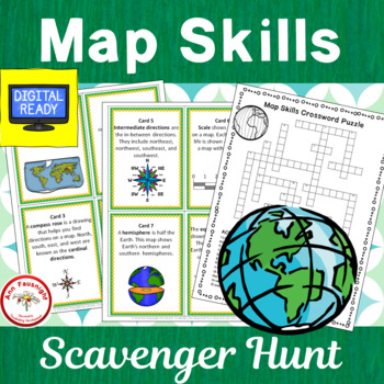
Map Skills Scavenger Hunt + Free BOOM Cards
This 20-question scavenger hunt (task card activity) reviews and practices map skills, vocabulary, and terms. (2 cards have been added for use by Canadian teachers.)This Product Includes:• cover card for organizing and storing scavenger hunt • 20 colorful cards providing practice with map skills vocabulary and using maps• alternate cards have been added using a map of Canada for cards 13 and 14, instead of a map of the United States.• 20 b/w cards• crossword puzzle (2 formats for differentiation
Grades:
3rd - 4th
Types:
Also included in: Map Skills Bundle
My Ecological Footprint: Fun Online Activity and Worksheet about Climate Change
Take your class to the computer lab for a fun and engaging activity! Students will use an interactive website to find out how their lifestyle determines their ecological footprint and impacts our planet. This activity is the first step in a fun lesson that spans two classes and gets your students learning about the environmental impact of the choices we make every day. This lesson fits perfectly into a unit or course about climate change, environmentalism, geography or world issues. There is lit
Subjects:
Grades:
9th - 12th
Types:
Also included in: Climate Change and Environmental Sustainability Bundle for High School
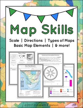
Map Skills Package
This package contains a variety of handouts, worksheets, a lesson idea, and an activity to help teach students map skills such as scale, cardinal and intermediate directions, types of maps (planimetric, thematic, topographic), and basic map elements (legend, title etc.)
Contents
Welcome
Teaching Guide (3 pages)
Latitude, Longitude, and Directions: The Orange Lesson
Latitude Labeling Worksheet Option 1 (label)
Latitude Labeling Worksheet Option 2 (trace)
Cardinal and Intermediate Directions Han
Grades:
3rd - 6th
Types:
Also included in: Map Skills Bundle: activities, worksheets, crafts, posters + more
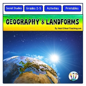
Geography Activities Major Landforms and Bodies of Water Reading Passages Unit
This fun unit is perfect for the back to school season to introduce 12 major landforms and reinforce geography skills! It includes 12 major landforms with reading passages, organizers, vocabulary posters, flip book, and a unit test.This activity pack is perfect for introducing and reviewing geography skills through creative hands-on activities. Students will love creating this geography flip book in centers or social studies stations. All the activities in this pack will reinforce and expand the
Grades:
2nd - 5th
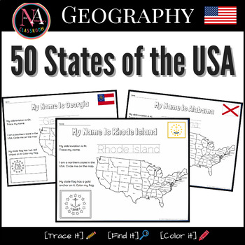
50 States of the USA Activity Bundle (Map and Flags)
Try it on EASEL! This resource includes a ready-to-use interactive activity students can complete on any device. This “50 States of the USA” activity includes fun worksheets for all 50 states, including Washington DC. Each activity aims to build and strengthen the following skillsets for Pre-K thru 1st Grade students.1. Trace it—Penmanship.2. Find it—Critical thinking and problem-solving.3. Color it—Creativity and fine motor skills. The activities also help familiarize young students with the US
Subjects:
Grades:
PreK - 2nd
Types:
Also included in: USA State Symbols and Maps MEGA Bundle | Geography
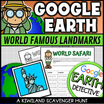
Google Earth World Famous Landmarks Scavenger Hunt 1 (Latitude and Longitude)
This Google Earth Scavenger Hunt activity is a fun and engaging way for your students to discover and explore world famous landmarks using Google Earth or other software. It provides a hands on approach to using latitude and longitude coordinates in Google Earth.Students are required to type the given coordinates into Google Earth to discover what famous landmark is at that location. Perfect for Planet Earth Day and Earth Science.This download includes:2 x Color Google Earth scavenger hunts.2 x
Grades:
3rd - 8th
Types:
Also included in: Google Earth Scavenger Hunt with Latitude and Longitude Fun Activities
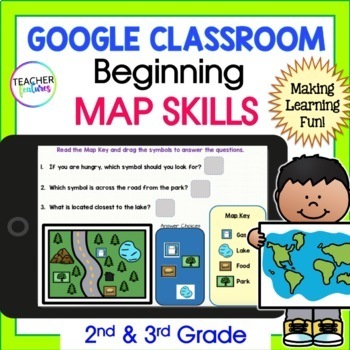
MAP SKILLS & GEOGRAPHY Vocabulary Activities 2nd 3rd Grade GOOGLE SLIDES & EASEL
Discover the world & learn geographical terms with Google Slides MAP SKILLS and GEOGRAPHY Activity set! This interactive resource contains 15 Google Slides and 14 EASEL Pages full of map and geography vocabulary. This resource also includes four interactive vocabulary pages, four interactive map term and icon pages, and six interactive maps and questions to promote greater understanding and memorization. Included vocabulary: Gulf, River, Lake, Plain, Valley, Peninsula, Mountain, Island, Ocea
Grades:
2nd - 4th
Types:
2nd Grade Social Studies Curriculum Geography Unit Maps Landforms
A geography unit that includes lesson plans, comprehension, vocabulary words, activities, and even a unit assessment. Unit follows along with the Michigan Citizenship Curriculum for 2nd grade, however, with the community theme it is applicable in almost any place.GOOGLE DRIVE ACCESS LINKS ARE AVAILABLE IN THE PDF DOWNLOAD ON THE GOOGLE DRIVE ACCESS PAGEGoogle Drive accessible files are available in slides/forms via links.Want to see a sample lesson? CLICK HERE FOR A LESSON FREEBIELesson Plan Ti
Subjects:
Grades:
1st - 4th
Types:
Also included in: 2nd Grade Social Studies Communities Curriculum YEAR LONG Bundle Units
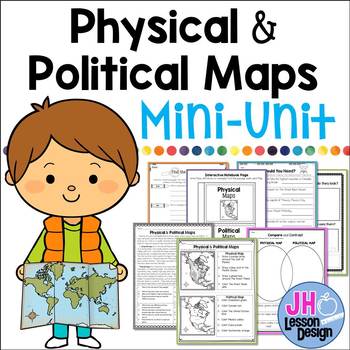
Physical and Political Maps Mini-Unit
Introducing physical and political maps? This may be a great product for you! This purchase includes a variety of fun and meaningful activities to teach your students about the differences between physical and political maps. Your students will be experts soon!This Mini-Unit Includes:Nonfiction Passage with Comprehension Questions and Text Dependent Questions.Interactive Notebook ActivityTwo Graphic OrganizersThree Activity PagesAnswer keys are included. This is part of a BUNDLE
Grades:
3rd - 5th
Also included in: Physical and Political Maps BUNDLE
Showing 1-24 of 2,068 results


