54 results
Geography activities for Easel Assessments
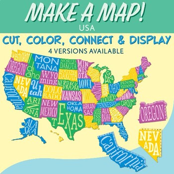
Interactive Bulletin Board United States Map Activity
Transform your classroom into a vibrant learning space with this Interactive Bulletin Board United States Map Activity. This engaging project invites students to actively participate in constructing a colossal wall map of the USA, fostering a collaborative and hands-on approach to learning United States geography. Assign each student a state and watch as the United States comes together, state by state, on your bulletin board! The finished map is an impressive 73 inches in length and 55 inches i
Grades:
4th - 7th
Also included in: USA Geography MEGA Bundle
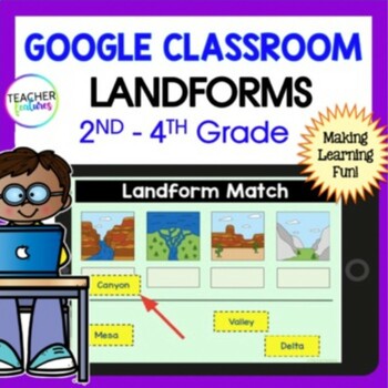
LANDFORMS & BODIES OF WATER 3rd 4th GRADE Google Slides EASEL Geography Activity
Students stay highly engaged as they learn to identify 24 landforms, bodies of water & define geography vocabulary using Google Slides. Each page includes a photo of the landform or body of water along with the title & description in simple, clear language. This resource also allows you to assess skills with a multiple-choice landform quiz. Use these Landform and Bodies of Water Google Slides to add fun to your social studies lessons now! Landforms: Archipelago, Bay, Butte, Canyon, Cav
Grades:
2nd - 4th
Types:
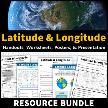
Latitude and Longitude Activities | Map Skills Worksheets Posters Presentation
Learning about latitude and longitude is fun and easy with this resource bundle! This ready-to-use no prep value bundle teaches students about latitude and longitude, the hemispheres of the world, major lines of latitude and longitude (Equator, Prime Meridian, Tropic of Cancer and Capricorn, Arctic and Antarctic Circle), and finding locations using geographic coordinates! This bundle includes: Four handouts introducing latitude and longitude, the world's hemispheres, absolute and relative locati
Grades:
5th - 9th
Types:
CCSS:
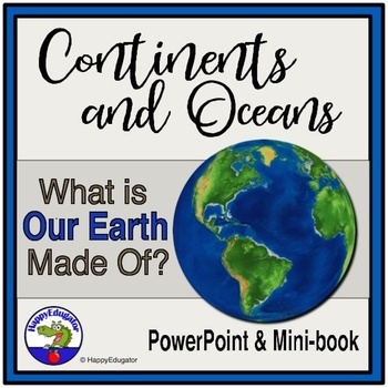
Continents and Oceans Geography Interactive PowerPoint and Mini Book with Easel
Continents and Oceans PowerPoint. Useful for studying the seven continents of the Earth and the five oceans in your geography or Social Studies classes. Includes examples of some major features of each continent of the world and some animals that are unique to each. Students will also see a visual about the equator and the hemispheres of the planet. Great supplemental activity for Earth Day, too. Has l interactive review slides and a printable for students to follow along. There are two Easel As
Subjects:
Grades:
1st - 4th
CCSS:
Also included in: Earth Day Activities Bundle
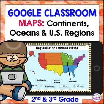
Map Skills US REGIONS CONTINENTS & OCEANS Google Slides & EASEL
Review map skills, 7 continents, identify world oceans & U.S. Regions: Northeast, Southeast, Midwest, Southwest & West using Google Slides. Interactive activities are great for all levels of learning. Use this with your smart board or for individual devices. Includes an Easel Activity! (33 Google Slides, 21 EASEL pages & 60 EASEL Questions)The Google Slide Access link contains 33 slides and 60 Question Easel Assessment:- Continent slides: with labels, without labels & drag the l
Grades:
2nd - 4th
Types:
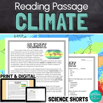
Climate Reading Comprehension Passage PRINT and DIGITAL
This easy to read, one page passage about climate explains:the difference between climate and weatherEarth is divided into 5 main climate categories: tropical, dry, temperate, continental, and polarclimate is affected by latitude, elevation, landforms, ocean wind and currents, and closeness to waterclimate determines which plant and animal species can survive in a regionclimate can change over long periods of time (like during ice ages) and human activities can affect climate change The passage
Subjects:
Grades:
3rd - 6th
Types:
NGSS:
MS-LS2-5
, MS-LS2-4
, MS-ESS3-5
, 3-ESS2-2
, MS-ESS2-6
...
Also included in: Ashton's Custom Science Shorts Reading Comprehension Bundle
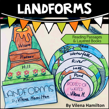
Landforms and Bodies of Water
Make learning about geography engaging and fun for your young learners!Your students will have an opportunity to read about the landforms and bodies of water first, answer some comprehension questions and then construct 2 layered books with the definitions for each landform/body of water. Here is what’s included:- 2 Reading Passages: Landforms and Bodies of Water- Comprehension Questions- Templates - Detailed Instructions- Answer Keys for everything You might also like:Continents. Hemispheres. E
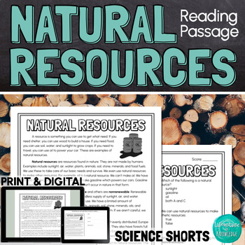
Natural Resources Reading Comprehension Passage PRINT and DIGITAL
This easy to read, one page passage about natural resources explains:natural resources are found in nature but can be used to make synthetic resourcesexamples of natural resourcesthe difference between renewable and nonrenewable resourcesnatural resources are not evenly distributed on Earth because of factors like climate, geologic processes, and the location of ancient lifethe uneven distribution of resources has led to conflict and warThe passage includes 10 multiple choice reading comprehensi
Subjects:
Grades:
4th - 7th
Types:
NGSS:
MS-ESS3-1
, MS-ESS3-4
, MS-PS1-3
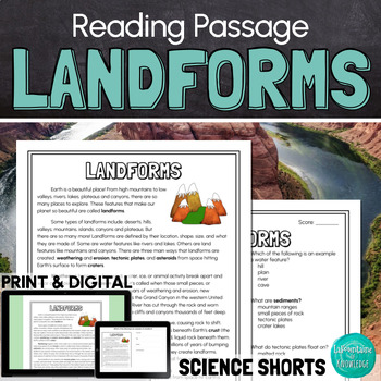
Landforms Reading Comprehension Passage PRINT and DIGITAL
This easy to read, one page passage all about landforms is perfect for science. The passage explains that landforms are features that shape Earth. It includes examples of landforms such as: mountains valleysriverslakescanyonsplateaushillsislandstrenchesIt also describes how landforms are created through: weathering and erosiontectonic plate movementasteroids forming craters This download includes a one page passage, 10 multiple choice reading comprehension questions, an answer key, and 2 self-sc
Subjects:
Grades:
3rd - 6th
Types:
NGSS:
4-ESS2-2
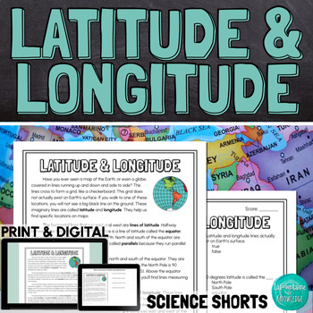
Latitude and Longitude Reading Comprehension Passage PRINT and DIGITAL
This easy to read comprehension passage about lines of latitude and longitude on maps and globes of the Earth explains:latitude and longitude are imaginary lines that help us find exact locations when reading mapslines of latitude run east and west parallel to the equatorlines of longitude run north and south on either side of the prime meridianlatitude and longitude are measured in degrees, minutes, and seconds when used together, latitude and longitude coordinates can help us find exact locati
Subjects:
Grades:
4th - 7th
Types:
NGSS:
MS-ESS2-5
, 4-ESS2-2
Also included in: Keri's Custom Science Shorts Reading Comprehension Bundle
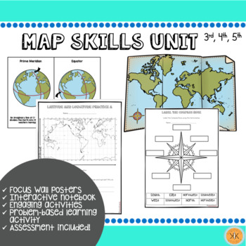
Mapping Skills Unit
Looking for an ENTIRE mapping unit! This product may be just what you need in your classroom! Recommended for grades, 3, 4, and 5 but may also be adapted for use in grade 2.This low-prep *zip file* unit has all you need to teach mapping skills to your students and includes:Day-by-day suggested objectives and activities for no-prep lesson planning!Color mapping skill posters for focus wall"Me on the Map" activity with two optionsInteractive notebook componentsDifferentiated mapping activitiesEnga
Grades:
2nd - 5th
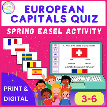
European Capitals Quiz | Spring Easel Activity
Whether used as a standalone activity, a supplement to classroom instruction, or as part of a distance learning curriculum, the European Capitals Quiz Easel Activity offers unparalleled versatility and educational value.Help your students discover Europe's capital cities using this fun and engaging tool, encouraging them to understand and respect different cultures around the world.The countries included in this quiz are: - Switzerland- Romania- Slovenia- Denmark- Spain- Finland- Hungary- Czech
Grades:
3rd - 6th
Types:
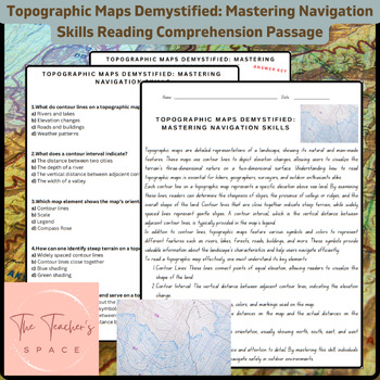
Topographic Maps Demystified: Mastering Navigation Skills Reading Comprehension
Topographic Maps Demystified: Mastering Navigation Skills Reading Comprehension PassageUnlock the secrets of topographic maps with our comprehensive resource, "Topographic Maps Demystified: Mastering Navigation Skills." This engaging package equips students with the knowledge and confidence needed to interpret and navigate through diverse terrains.Key Features:Informative Reading Passage: Dive into a rich reading passage that meticulously breaks down the fundamentals of reading topographic maps.
Subjects:
Grades:
3rd - 9th
Types:
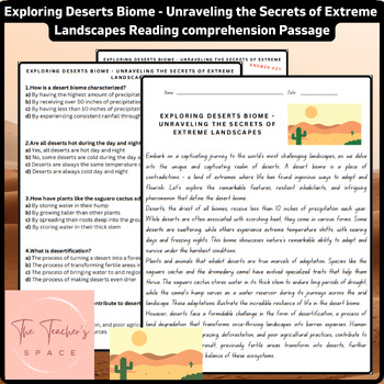
Exploring Deserts Biome - Unraveling the Secrets of Extreme Landscapes Reading..
Exploring Deserts Biome - Unraveling the Secrets of Extreme Landscapes Reading Comprehension PassageEmbark on a captivating educational journey into the heart of some of the world's most extreme and captivating landscapes with "Exploring Deserts Biome - Unraveling the Secrets of Extreme Landscapes." Crafted for students in 4th and 7th grades, this comprehensive resource offers an enlightening exploration of the desert biome, its remarkable inhabitants, and the challenges it faces. Dive into the
Subjects:
Grades:
4th - 7th
Types:
NGSS:
3-LS4-3
, 3-ESS2-2
Also included in: Major World Biomes Reading Comprehension Passages Bundle
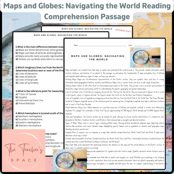
Maps and Globes: Navigating the World Reading Comprehension Passage
Maps and Globes: Navigating the World Reading Comprehension PassageEmbark on a captivating journey of geographical exploration with our "Maps and Globes: Navigating the World" educational bundle, designed to engage and enlighten students. This comprehensive resource offers a deep dive into the fascinating world of maps and globes, equipping learners with essential knowledge about navigation, geography, and spatial understanding.Inside this pack, you'll find:1. Informative Reading Passage: Unlock
Grades:
4th - 6th
Types:
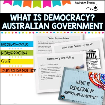
Australian Democracy and levels of government.
What is democracy?AimI can describe the main features of a democracy and discuss the rights and responsibilities of citizens in AustraliaLearning IntentionsTo learn about the different levels of government used to maked decisions and laws in AustraliaWhat is the system of Government in AUSTRALIA?Basic rightsWho rules Australia?What does democracy mean?Democracy and votingYoung people and democracyMain political partiesVotingElected representativesLevels of GovernmentLaw and orderWhat is included
Grades:
4th - 6th, Staff
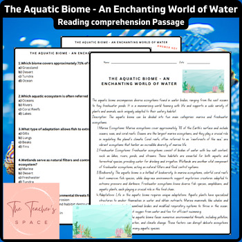
The Aquatic Biome - An Enchanting World of Water Reading Comprehension Passage
The Aquatic Biome - An Enchanting World of Water Reading Comprehension PassageDive into the captivating realm of The Aquatic Biome - An Enchanting World of Water with this engaging and comprehensive resource! This pack is tailored to meet the needs of 4th and 7th-grade students, offering an informative reading passage, thought-provoking multiple-choice questions, and intriguing true or false statements.The informative reading passage takes young learners on a fascinating journey through the aqua
Subjects:
Grades:
4th - 7th
Types:
NGSS:
3-LS4-3
, 3-ESS2-2
Also included in: Major World Biomes Reading Comprehension Passages Bundle
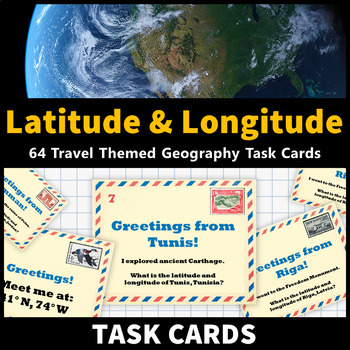
Latitude and Longitude Task Cards Map Skills Activity World and US Cities
Learning about latitude and longitude and is fun and easy with these task cards! 64 travel themed task cards are provided and help your students develop map skills and a stronger understanding of world and U.S. geography. This task card set includes: 20 task cards that include the coordinates of world cities and ask students to identify them20 task cards that feature world cities and ask students to identify their coordinates 12 task cards that include the coordinates of United States cities and
Grades:
5th - 9th
Types:
CCSS:
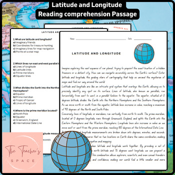
Latitude and Longitude Reading Comprehension Passage
Latitude and Longitude Reading Comprehension PassageUnlock the mysteries of geography with our comprehensive resource, "Latitude and Longitude: Navigating the World." This engaging package provides an insightful journey into the essential concepts of latitude and longitude, enriching their understanding of the Earth's intricate grid system.Key Features: Informative Reading Passage: Delve into the fascinating world of latitude and longitude through our informative and engaging reading passage. St
Subjects:
Grades:
4th - 7th
Types:
NGSS:
MS-ESS2-5
, 4-ESS2-2
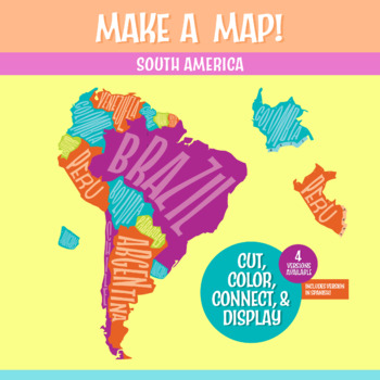
South America Geography Activity | Interactive Bulletin Board Continent Project
A South America map that you build as a giant wall map! This is a fantastic method to learn the South American countries. Both English and Spanish versions are included. When finished, you'll have a gorgeous map on display, clearly showing the South America countries. Your students can research a South American country, decorate each country, assemble the South American continent on your bulletin board or wall, and they will be all ready for a geography quiz.The finished map is HUGE: the contigu
Subjects:
Grades:
6th - 9th
CCSS:
NGSS:
MS-ESS2-3
, MS-LS2-2
, MS-ESS2-2
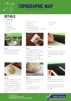
Topographic Map Making from a 3D model
4 student activity sheets in total in A4 formatBackground information on the science experiment in regard to creating a topographic mapA list of the experiment materials needed (uses simple materials found in local shops, at home or in the classroom)The method on how to conduct the experimentReflection sheet with questions that determine student understandingIncludes both an Easel Activity version of this worksheet and an Easel Assessment.Student Activity sheets for your geology & natural di
Subjects:
Grades:
3rd - 6th
Types:
NGSS:
4-ESS2-2
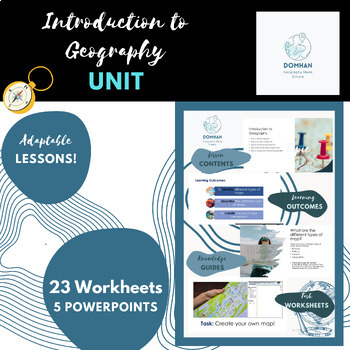
Introduction to Geography unit/module
This module covers the key topics of maps, continents, countries, compass skills, latitude and longitude, and different types of geography. I'll also include engaging hands-on activities like map making, recalls, coordinates, map labelling, reflections and word fills to make the lessons interactive and memorable for students.Firstly , we'll explore different types of geography, such as human geography, physical geography, and cultural geography. Students will engage in hands-on activities like m
Subjects:
Grades:
7th - 10th, Staff
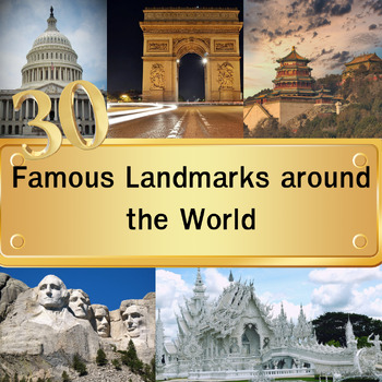
30 Famous Landmarks around the World Quiz with For grade 3-8 and homeschool
In this quiz featuring 30 famous landmarks from around the world, students will examine images of these landmarks and select their answers from a set of four multiple-choice options. Once they've made their choice and clicked "next," the correct answers will be revealed. This quiz serves as an educational tool to expand their understanding of global landmarks. It can be used effectively as either a warm-up activity at the start of the class or as a lesson review.Please note that this digital pro
Grades:
3rd - 8th
Types:
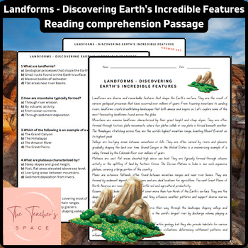
Landforms - Discovering Earth's Incredible Features Reading Comprehension Pass..
Landforms - Discovering Earth's Incredible Features Reading Comprehension PassageTake your students on a captivating journey with this informative reading comprehension passage titled "Landforms - Discovering Earth's Incredible Features." This comprehensive resource introduces students to the diverse and awe-inspiring landforms that shape our planet. From majestic mountains to vast plains, this passage explores the formation and significance of these geological wonders, fostering a deeper apprec
Subjects:
Grades:
3rd - 6th
Types:
NGSS:
4-ESS2-2
Also included in: Earth Science Reading Comprehension Passages Bundle
Showing 1-24 of 54 results


