5,882 results
Geography activities for Microsoft PowerPoint
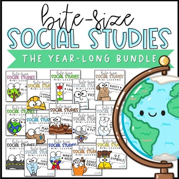
Social Studies Lessons | PowerPoint & Google Slides | BUNDLE
It's so hard to squeeze dedicated social studies lessons into our already jam-packed schedules. These short, no-prep, paperless mini-lessons will help you facilitate deep conversations about important topics. Bite-Size Social Studies is perfect for distance learning or remote learning. A paperless, no-prep, narrated version of these lessons will be added, so even the youngest students can learn independently. Send the files home via your chosen platform (Google Classroom, SeeSaw, etc).Each slide
Subjects:
Grades:
K - 3rd
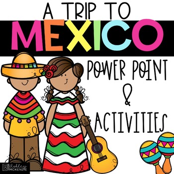
Trip to Mexico Power Point and Activities Pack | Cinco De Mayo Activities
Have a great time learning about Mexico with this fun Power Point and Activities Pack. Both PowerPoint and Google Slides versions are included. It's the perfect activity during Cinco De Mayo, the last week of school, or for some Friday fun! Your class will be introduced to the geography, language, culture, and food in Mexico. The PowerPoint is packed with colorful, real photos. And a variety of activities are included to help your students reflect on what they've learned. Be sure to read the tip
Subjects:
Grades:
K - 6th
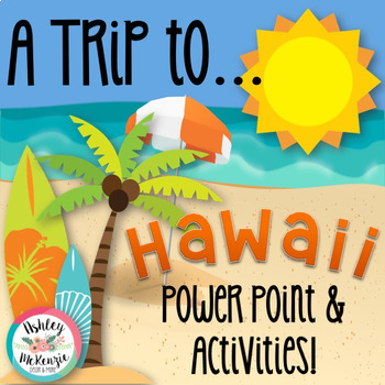
"Trip to Hawaii" Power Point & Activities Pack!
This makes for such a fantastic end of year activity! You'll have a great time learning about Hawaii with this fun Power Point and Activities Packet with your students. Read about how I take my class on this exciting adventure below....Check out other products like this!Trip to Mexico BundleTrip to Australia BundleTrip to South AmericaFREE World Travel Student PassportIncluded in this pack... (check out the preview file for a sneak peek!)-47 slide power point on Hawaii where you learn about -
Subjects:
Grades:
K - 6th
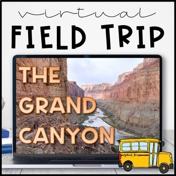
Virtual Field Trip to the Grand Canyon for Geology Science
Virtual Field Trip to the Grand Canyon!Not able to take any trips this fall? Go there virtually! Engaging, no matter the format of instruction, your students will be hooked! Use them as a preview to any science unit OR have the class work towards the reward of 'Field Trip Friday'! NO PREP WORK FOR YOU! Trip is designed for grade K - 5, I included multiple options for certain slides, easy to differentiate, just delete any slides that don't fit your grade level!W H A T ' S I N C L U D E D ?⭐️ Teac
Subjects:
Grades:
K - 5th
Types:
NGSS:
4-ESS1-1
, 3-ESS2-1
, 2-ESS1-1
, 4-ESS2-1
Also included in: THE COMPLETE COLLECTION! Every product in my TPT store - growing bundle!
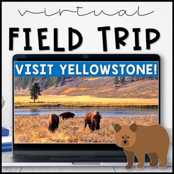
Virtual Field Trip Yellowstone National Park in the Spring
Virtual Field Trip to Yellowstone! Visit America's first national park!NO PREP! Just 'share your screen' and present the slides & videos. ☺Trip is designed for grade K - 5, easy to differentiate based on how many videos you play.GREAT FOR: socially distanced learning, science and social studies supplemental lesson, NO PREP sub plans or as a Fun Friday/Field Trip Friday classroom reward to work towards!!W H A T ' S I N C L U D E D ?⭐️ Teacher directions⭐️ PowerPoint & Google Slides includ
Subjects:
Grades:
K - 5th
Types:
NGSS:
4-LS1-1
, 3-LS4-3
, 2-LS4-1
, 1-LS3-1
Also included in: THE COMPLETE COLLECTION! Every product in my TPT store - growing bundle!
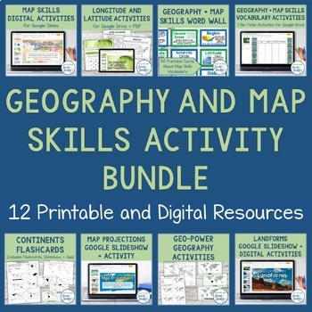
Geography + Map Skills Bundle | Maps, Continents and Oceans, Latitude Longitude
This epic bundle includes 12 different essential geography resources to help your students develop map skills and a sense of geographic awareness! The printable and digital resources in this bundle cover topics like latitude and longitude, continents, oceans, countries, map key, map projections, map distortion, landforms, and a lot more!Save over 30% by purchasing this bundle!The 12 resources included in this bundle include:Map Skills Digital Activity + Overview SlideshowLatitude and Longitude A
Grades:
5th - 8th
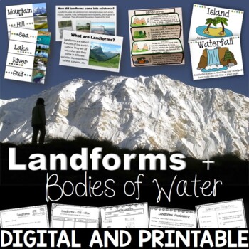
Landforms & Bodies of Water Bundle| Printables, PowerPoint, Interactive Notebook
This landforms pack will engage your students in learning about 19 different landforms / bodies of water. There are Posters, Word Wall Cards, “What am I” cards, Printables, Interactive notebook, and a 100% Editable PowerPoint. *Also includes digital access via Google Slides.Landforms included in this unit: Mountain, Hill, Valley, Plain, Island, Sand Dune, Peninsula, Canyon, Delta, Plateau, Mesa, Ocean, Sea, Lake, River, Gulf, Canal, Glacier, and WaterfallAnswer Keys are included.• PowerPoint Rev
Subjects:
Grades:
2nd - 5th
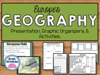
Geography of Europe: Physical Features (SS6G7a)
This file is a resource pack about the major physical features in Europe: the Danube River, Rhine River, English Channel, Mediterranean Sea, European Plain, the Alps, Pyrenees, Ural Mountains, and the Iberian Peninsula (as outlined by the Georgia Standard of Excellence – SS6G7a,b). This lesson includes a presentation with important facts about the features and where they are located, as well as colorful images. There is also a graphic organizer for note-taking during the presentation, a quick ma
Grades:
6th
Also included in: Europe Unit BUNDLE - Geography, History, Government, Economics, Etc.
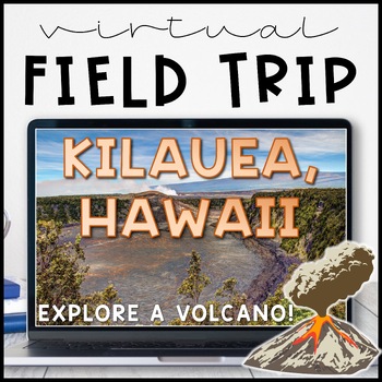
Volcano Virtual Field Trip Kilauea, Hawaii for Landforms
Visit one of the most active volcanoes in the world on the Big Island of Hawai'i! Pairs great with a landform, volcano or earth and space sciences unit.Perfect for socially distanced learning or online meetings!NO PREP! Just 'share your screen' and present the slides. ☺Trip is aimed at a 3rd grade level but works well for K - 5. I included multiple closing activity suggestions, pick one that is an appropriate level for your grade! Or, edit the text and add your own.W H A T ' S I N C L U D E D ?⭐
Subjects:
Grades:
1st - 5th
Also included in: THE COMPLETE COLLECTION! Every product in my TPT store - growing bundle!
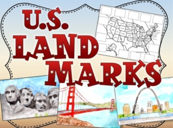
United States US Landmarks Lesson and Activity
U.S. Landmarks, Use this fun 15-slide Power Point and cut and paste activity to expose your students to 12 United States landmarks. The slides feature hand painted artwork and information about each landmark. After viewing, students cut out pictures of the landmarks and glue them in the correct places on the map. Print out the first two slides for the map activity.Landmarks:Mt RushmoreThe Grand CanyonThe Space NeedleNiagara FallsThe Statue of LibertyThe Lincoln MemorialCape CanaveralDenaliThe
Grades:
1st - 4th
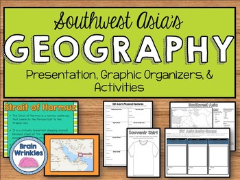
Geography of Southwest Asia (Middle East) - SS7G5
This file is a resource pack about the important political and physical features in Southwest Asia (as outlined by the Georgia Standard of Excellence– SS7G5). This lesson includes a presentation with important facts about the features and where they are located, as well as colorful images. There is also a graphic organizer for note-taking during the presentation, a quick map review game, a creative writing assignment, an Instagram-inspired activity, a map and directions for students to label cou
Grades:
7th
Also included in: Southwest Asia (Middle East) Unit BUNDLE
"Trip to Australia" Power Point & Activities Pack!
Have a great time learning about Australia with this fun Power Point and Activities Packet! Read about how I take my class on this exciting adventure below.Check out other resources like this!Trip To Asia BundleTrip to Mexico BundleTrip to Hawaii BundleTrip to South America BundleFREE World Travel Student Passport✨Save $$ with the Continents and Countries Bundle! Get 8 different "Trip to" resources to use throughout the year, and save 30%!Included in this pack... 50 slide PowerPoint or PDF on Au
Subjects:
Grades:
1st - 6th
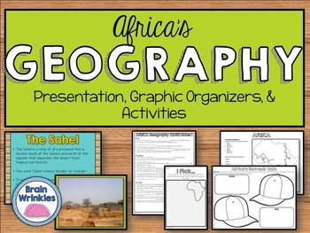
Geography of Africa (SS7G1)
This file is a resource pack about the major physical features in Africa: the Sahara, Sahel, savanna, tropical rain forest, Congo River, Niger River, Nile River, Lake Victoria, Great Rift Valley, Mt. Kilimanjaro, Atlas Mountains, and Kalahari Desert (as outlined by the Georgia Standard of Excellence – SS7G1). This lesson includes a presentation with important facts about the features and where they are located, as well as colorful images. There is also a graphic organizer for note-taking during
Grades:
7th
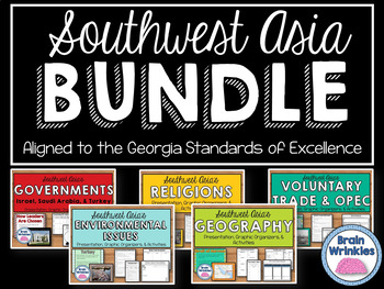
Southwest Asia (Middle East) Unit BUNDLE
This bundle contains the following Southwest Asia resource pack files – Geography of Southwest Asia, Environmental Issues, Where People Live and Work, Ethnic Groups, Prominent Religions, Governments: Israel, Saudi Arabia, and Turkey, Economies: Israel, Saudi Arabia, and Turkey, Voluntary Trade and OPEC, Factors of Economic Growth, Distribution of oil in SW Asia, Continuing Conflicts in the Middle East, Creation of Israel, and U.S. Presence in the Middle East. There are over 830 pages of notes,
Grades:
7th
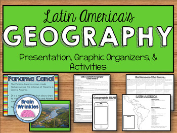
Geography of Latin America: Physical Features (SS6G1)
This file is a resource pack about the major physical features in Latin America: Amazon River, Amazon Rainforest, Caribbean Sea, Gulf of Mexico, Atlantic Ocean, Pacific Ocean, Panama Canal, Andes Mountains, Sierra Madre Mountains, and Atacama Desert (as outlined by the Georgia Standard of Excellence – SS6G1). This lesson includes a presentation with important facts about the features and where they are located, as well as colorful images. There are also several creative and interactive activitie
Subjects:
Grades:
6th
Also included in: Latin America BUNDLE
"Trip to South America" Power Point & Activities Pack!
Have a great time learning about South America with this fun Power Point and Activities Packet. Read about how I take my class on this exciting adventure below....Check out other products like this!Trip to Mexico BundleTrip to Hawaii BundleTrip to Australia BundleFREE World Travel Student PassportIncluded in this pack... -55 slide power point on South America where you learn about -the geography -the language -fun places to visit -the culture -the food -the animals14 Pages of Activit
Subjects:
Grades:
1st - 6th
Landforms | Social Studies Lesson | PowerPoint & Google Slides
Your students will love this engaging mini-lesson all about Landforms, and you'll love that it's no-prep and ready to teach. Each lesson slide is meant to be projected on your whiteboard to guide short and sweet discussions about important social studies topics. Use these slides as a stand-alone lesson, or as a supplement to your existing social studies curriculumLesson Formats Included:⭐ PDF ⭐ Powerpoint ⭐ Google SlidesInside this Product is...24 no-prep slides that include:Video ClipsDiscussio
Subjects:
Grades:
1st - 4th
Also included in: Social Studies Lessons | PowerPoint & Google Slides | BUNDLE
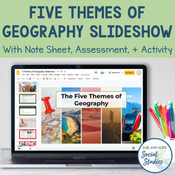
5 Themes of Geography Slideshow and Activity
Teach your students about the 5 Themes of Geography with this helpful, no-prep Google Slideshow, note sheets, assessment activity, and graphic organizers! Covering the different themes of geography with your students at the start of the year will establish a solid foundation that you can build upon throughout the school year!With this resource, you can use the 18-slide Google Slideshow (with editable text) to teach your students about the 5 Themes of Geography. This slideshow covers the definiti
Grades:
6th - 9th
AP Human Geography Whole Course MEGA Bundle
Take the stress out of teaching Human Geography with this full course MEGA bundle that contains a comprehensive collection of lessons, assignments, assessments, games, and other class materials that have you covered from day 1 until the final exam. All materials are no-prep and aligned to the most current CED (updated 2024). Materials Included:42 lessons with presentation slides, guided note worksheets (printable or ready for digital use), built-in discussion questions, and helpful speaker notes
Subjects:
Grades:
10th - 12th, Higher Education
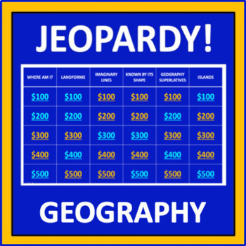
Geography Jeopardy - an interactive social studies game
Geography Jeopardy is an interactive game in which students answer geography trivia questions. This resource reflects the popular TV game show, but adaptations have been made so it can be played in the classroom. The categories are:Where Am I?LandformsImaginary LinesKnown by Its ShapeGeography SuperlativesIslandsParts of a MapCountries Starting with "I"Colorful PlacesWater! Water! Water!ContinentsFamous LandmarksWhere in the World?*SIGN UP AS A FOLLOWER OF “OFF THE PAGE” AND GET NOTIFICATIONS OF
Grades:
5th - 8th
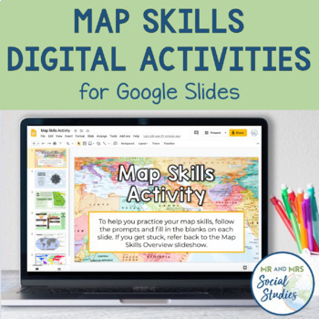
Map Skills Digital Activity and Overview Slideshow | Map Skills Middle School
If you are looking for map skills activities that you can use digitally, you are in the right place! This resource includes both a Map Skills Slideshow with information about different components of maps and a no-prep Map Skills Activity for Google Slides. All of the information is presented in an organized, colorful, and easy-to-understand way for your students.This Map Skills Google Classroom resource includes the following:Teacher Guide (PDF)Map Skills Overview Slideshow (Google Slideshow wit
Grades:
5th - 8th
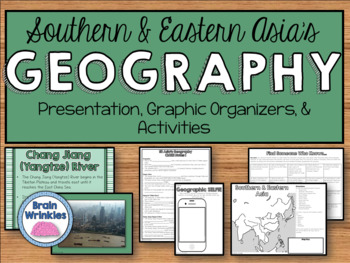
Geography of Southern & Eastern Asia (SS7G9)
This file is a resource pack about the major physical features in Southern and Eastern Asia: Ganges River, Huang He (Yellow River), Chang Jiang (Yangtze) River, Bay of Bengal, Indian Ocean, Sea of Japan, South China Sea, Yellow Sea, Gobi Desert, Taklimakan Desert, Himalayan Mountains, and Korean Peninsula (as outlined by the Georgia Standard of Excellence – SS7G9). This lesson includes a presentation with important facts about the features and where they are located, as well as colorful images.
Grades:
7th
Also included in: Southern & Eastern Asia Unit BUNDLE
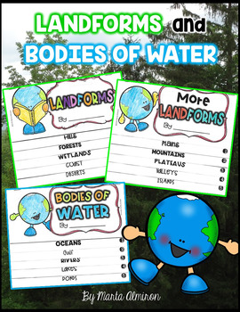
LANDFORMS and BODIES OF WATER {Flipbooks and Presentations}
This is a complete unit to cover Landforms and Bodies of Water.Includes:✔ 2 interactive flipbooks covering the following Landforms: hills, forest, wetlands, coast, deserts, plains, mountains, plateau, valley, and islands.✔ 1 interactive flipbook covering the following Bodies of Water: oceans, gulf, river, lake, and pond.✔ Instructions to assemble flipbooks.✔ Variety of worksheets that can also work as assessments.✔ Presentations with definitions and photographs of all the landforms and bodies of
Subjects:
Grades:
K - 2nd
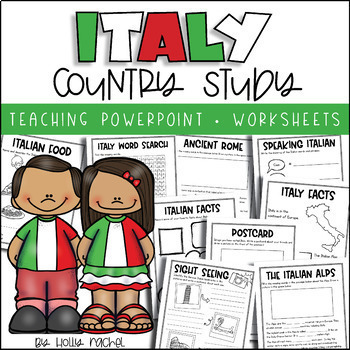
All About Italy - Country Study
Your students will love learning all about Italy with this fun country study! Included is an all about Italy Powerpoint presentation (.pptx) to teach your class all about Italy, the capital city, flag, food, language, famous landmarks, Ancient Rome and the Italian Alps! Student activity worksheets are also included based on the facts in the Powerpoint (all differentiated on two levels to support the different abilities in your class), plus an Italy word search, postcard activity and favorite fac
Subjects:
Grades:
1st - 3rd
Also included in: Country Study Bundle
Showing 1-24 of 5,882 results


