2,114 results
Geography independent work images
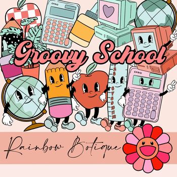
Groovy School Clipart bundle, boho school clip art, bulletin board, commercial
A cute, hand-drawn clipart set with a groovy school theme.Consists of over 50 individual, high definition png files with a transparent background.Also includes black-and-white versions of all images, suitable for coloring etc.For personal and commercial use.
Subjects:
Grades:
PreK - 12th
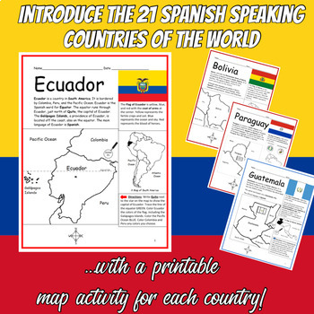
Spanish Speaking Countries Printable Worksheets BUNDLE
Introduce your students to the 21 Spanish-speaking countries one country at a time with this bundle of printable worksheets! Each country includes two worksheets (plus answer key). Simple map activity and reading comprehension questions. Your students will read a brief introduction to the country (location, capital, flag, language), write the capital next to the star on the map, color the small map, and use the map and compass to answer questions on page 2. Colored pencils and a pen or pencil ar
Subjects:
Grades:
3rd - 5th
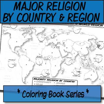
Major Religion by Country & Region Map/Charts **Coloring Book Series**
**Geography Coloring Book Series**Guide your lecture notes with these printable coloring book pages of the majority of practiced world religions by country and region. These are great for printing multiples and cutting for student interactive notebooks as minis. These are particularly great for AP Human Geography, any geography course, religion, cultural studies, or anthropology course.The format is .PNG to allow for you to paste and stretch in Word. I've found that .3'' margins (all sides) is t
Grades:
Not Grade Specific
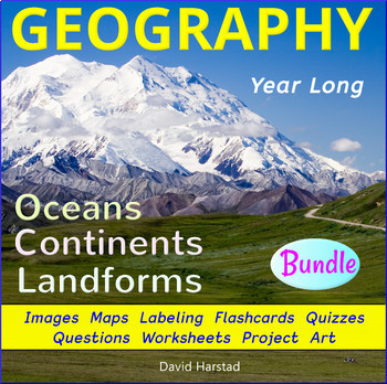
Geography - Landforms - Continents and Oceans
Geography - Landforms - Continents and Oceans - Geography Worksheets - Power Point - Maps - Map Labeling - Flashcards - Clip Art Posters. Be the envy of world explorers everywhere and take your career-long geography bundle across many grade levels. This geography bundle includes the following: Click listings for full Previews. Geography - 100 Terms & DefinitionsGeography - Maps, Labeling, Questions:28 USA Maps35 World Maps50 U.S. State Map Outlines100 USA Geography Questions100 World Ge
Subjects:
Grades:
2nd - 7th
Types:
Also included in: Top 20 Best Sellers
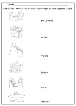
Landforms Matching Worksheet
My Landforms worksheet goes along with the Landform picture cards. After studying and learning about the cards, this is a great way to see if your students grasped the concept, a good formative assessment.
Thank you to Scrappin Doodles for the adorable clipart.
Subjects:
Grades:
K - 6th
Types:
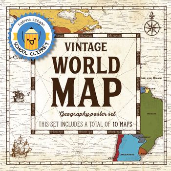
World map and continents: Vintage style geography poster set (10 maps)
World map and continents: vintage style geography poster setThis world and continents set includes a total of 10 maps:• World• Africa• South America• Central America• North America• Europe (2)• Middle East• Asia• OceaniaMaps capture current geographical and political boundaries (as of May 2019) with vintage-style graphics and script. The world map clearly labels continents and oceans. Continent maps label all countries, oceans and include a color-coded country key.These maps are a great addition
Subjects:
Grades:
PreK - 12th, Higher Education, Adult Education, Staff
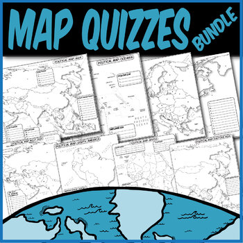
*QUIZZES BUNDLE* Political Maps **Coloring Book Quiz Series**
**MAP QUIZZES**Included:Africa Map QuizAsia Map QuizEast Asia Map QuizWestern Asia Map QuizEurope Map QuizN. America/C. America Map QuizS. America Map QuizOceania Map QuizThese blank political map quizzes are ready for students to label. Each independent country is labeled with a letter than corresponds to a blank space.These are particularly great for AP Human Geography, AP European History, AP World History, any social science, or physical science course.The formats are .PNG to allow for you t
Grades:
Not Grade Specific
Types:
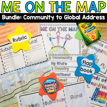
Me on the Map Bundle: 3 Kinds of Communities to Global Address
Intorduce Social Studies and Map Skills to your students as they learn about community in the classroom and in your town and move on their global address. First, teach your students about urban, suburban, and rural communities with this engaging flap book. Students will use the road in the flap book to create a map that begins in an urban community and continues through the suburbs before winding out to a rural community. Students will define and list 3 characteristics of each kind of community
Subjects:
Grades:
1st - 3rd
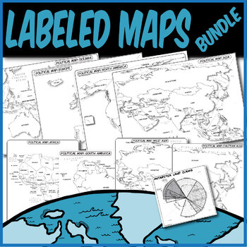
*LABELED POLITICAL MAP BUNDLE* **Coloring Book Series**
**LABELED MAPS**Included:Labeled Africa Map Labeled Asia Map Labeled East Asia Map Labeled Western Asia Map Labeled Europe Map Labeled N. America/C. America Map Labeled S. America Map Labeled Oceania Map Labeled Antarctica Claims MapThese labeled political maps are ready for students to use. Each independent country and state is pre-labeled. Students can use these to create choropleth maps, practice rote memorization, or annotate along with your lecture.These are particularly great for AP Human
Grades:
Not Grade Specific
Types:
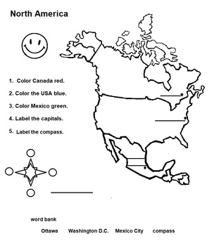
North America Map of Countries with Capitals and Flags
Great activity for younger learns who are studying the countries, capitals and flags of North America.
Subjects:
Grades:
1st - 3rd
Types:
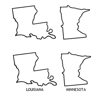
State Fonts - Outline maps of states
This is a collection of 6 fonts with images of the 50 states. The first 2 fonts contain outline maps, the next 2 contain state silhouettes, and the last 2 contain outline maps with capital cities marked. Each font provides maps that are labeled and unlabeled.
Grades:
1st - 9th
Types:
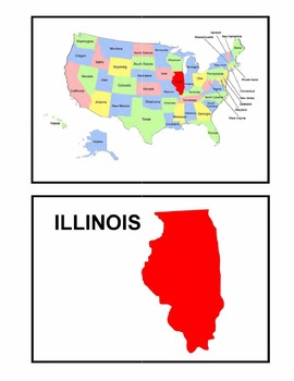
Identifying the 50 States - Visual-Spatial, Size, and Shape Practice
This is a great PDF for Visual-Spatial, Size, and Shape Practice and Refinement of the 50 states. It provides each state individually on a map of the United States, as well as the shape and name of each state. This is perfect for overheads and a great PDF to download to your iBooks to review and identify the geography of the United States.
Subjects:
Grades:
PreK - 12th, Higher Education, Adult Education
Types:
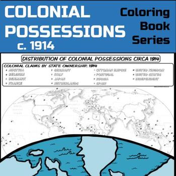
Colonial Possessions Map, circa 1914 **Coloring Book Series**
Guide your lecture notes with these printable coloring book pages of global colonial possessions circa 1914. These are particularly great for AP Human Geography, AP US History, AP European History, and AP World History - though any humanities course will benefit.Making a lesson about colonialism and imperialism? Have kids check out the spatial distribution of colonial possessions circa 1914:The format is .PNG to allow for you to paste and stretch in Word. I've found that .3'' margins (all sides)
Grades:
Not Grade Specific
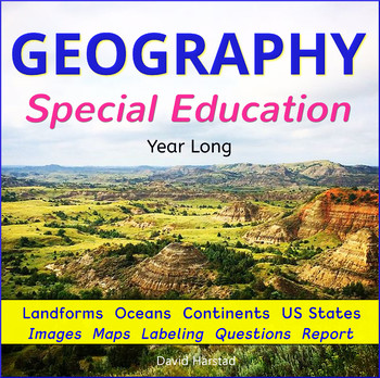
Geography for Special Education
Geography for Special Education - Landforms - Continents and Oceans - Geography Worksheets - Power Point - Maps - Map Labeling - Flashcards - Clip Art Posters. About the Listing: Geography for Special Education matches mainstream learning but with flexibility to modify experiences. The many geography images appeal to visual learners, while giving you teaching options across the grade levels. A career-long geography bundle that includes the following: Click listings for full Previews. Geog
Subjects:
Grades:
K - 7th
Types:
Also included in: Special Education Bundle
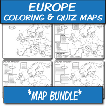
MAP BUNDLE *Europe* Labeled, Unlabeled Word Bank, Quiz, Coloring (4)
**Geography Coloring Book Series****History Coloring Book Series**These blank political maps and quizzes are ready for students to label. There are FOUR maps included in this bundle.These are particularly great for AP Human Geography, AP European History, AP World History, any social science, Spanish, or physical science course.The formats are .PNG to allow for you to paste and stretch in Word. I've found that .3'' margins (all sides) is the farthest most standard printers will allow. Set these
Grades:
Not Grade Specific
Types:
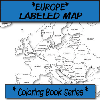
Europe Political Map (Labeled) **Coloring Book Series**
**Geography Coloring Book Series****History Coloring Book Series**This political map is ready for students to color or use for reference. Each independent state comes pre-labeled.These are particularly great for AP US History, AP Human Geography, or any other geography, Spanish, history course, or social science course.The format is .PNG to allow for you to paste and stretch in Word. I've found that .3'' margins (all sides) is the farthest most standard printers will allow. Set these in your Wo
Grades:
Not Grade Specific
Types:
Also included in: MAP BUNDLE *Europe* Labeled, Unlabeled Word Bank, Quiz, Coloring (4)
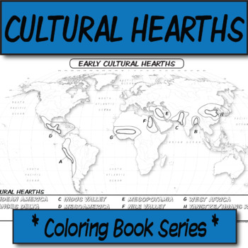
Early Cultural Hearths **Coloring Book Series**
**Geography Coloring Book Series**Guide your lecture notes with these printable coloring book pages of human's early cultural hearths. If you are discussing cultural diffusion, or the early river valley systems, this might be for your kids! These are particularly great for AP Human Geography, AP US History, AP European History, and AP World History - though any humanities course will benefit.The size is 8.5x14 (legal). The format is .PNG to allow for you to paste and stretch in Word. I've found
Grades:
Not Grade Specific
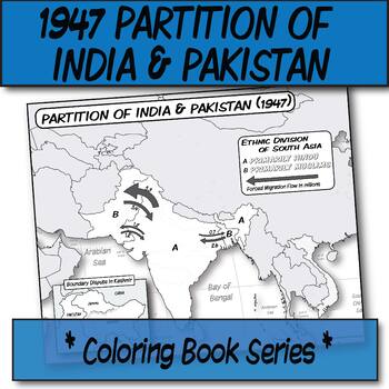
1947 Partition of India & Pakistan **Coloring Book Series**
**Geography Coloring Book Series****History Coloring Book Series**Guide your lecture notes with these printable coloring book pages of the 1947 Partition of India & Pakistan. These are great for printing multiples and cutting for student interactive notebooks as minis. These are particularly great for AP Human Geography, AP US History, AP European History, and AP World History - though any humanities course will benefit.The format is .PNG to allow for you to paste and stretch in Word. I've f
Grades:
Not Grade Specific
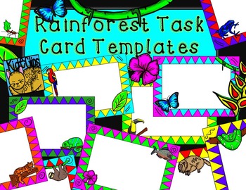
Rainforest Theme Task Card Frames by Kid-E-Clips
This set of "Rainforest Friends" task card templates is made up of 11 colorful rectangular task card frames with white centers.
Not only would these be fun in creating colorful task cards, but also useful for name tags or labels, cover pages, page borders, and more!
You may also enjoy these clips from my store:
Rainforest Friends Jungle Clip Art
Build a Bug Jar Insect Clip Art
Feeling Crabby Hermit Crab Clip Art
*****************************************************************************
Subjects:
Grades:
Not Grade Specific
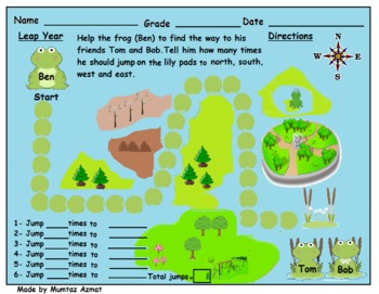
Leap Year Frog Themed Map Skill Directions Worksheet:
Leap Year Themed Map Skill Directions Worksheet:
Creative Commons License
Leap Year Themed Map Skill Directions Worksheet: by Mumtaz Azmat is licensed under a Creative Commons Attribution 4.0 International License.
Subjects:
Grades:
K - 3rd
Types:
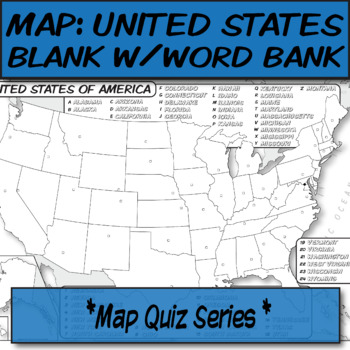
WORD BANK United States Political Map **Quiz Series**
**Geography Coloring Book Series****History Coloring Book Series**This blank political map with word bank is ready for students to label. Each independent state is left blank with a corresponding word bank for assistance.These are particularly great for AP Human Geography, AP US History, or any other social science course.The format is .PNG to allow for you to paste and stretch in Word. I've found that .3'' margins (all sides) is the farthest most standard printers will allow. Set these in your
Grades:
Not Grade Specific
Types:
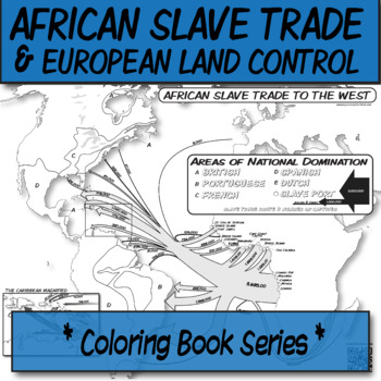
African Slavery Trade to the West **Coloring Book Series**
**Geography Coloring Book Series****History Coloring Book Series**Guide your lecture notes with these printable coloring book pages of the African slave trade to the West, with this flow-line map. These are great for printing multiples and cutting for foldables in student interactive notebooks as minis. These are particularly great for AP Human Geography, AP US History, AP European History, and AP World History - though any humanities course will benefit.Areas of European control are "color-by-l
Grades:
Not Grade Specific
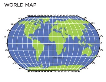
World Map
This is a map of the world which you could use multiple ways. There is a completely blank map which you could have the students fill in and there is also one with longitude and latitude printed on it. This is an easy way to show students a visual of longitude, latitude and oceans! You could use this to teach continents and even give it as a quiz for students to fill in. Also can be blown up for poster size!
Grades:
3rd - 7th
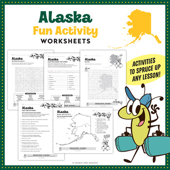
Alaska Worksheet Activities plus 34 Clip Art Images
Alaska Worksheet Activities plus 34 Clip Art ImagesThis bundle includes a five page set of Alaska worksheets plus a full clip art set made up of 34 PNG images. All of the Alaska clip art is saved at 300 dpi to ensure vibrant colors and crisp edges. Also included is clip art of the Travel Bug at Denali, which is used on each of the Washington worksheets. This five page set of Alaska worksheets includes:• An Alaska fact or fiction facts worksheet• An Alaska map activity worksheet• An Alaska wordse
Grades:
2nd - 6th
Types:
Showing 1-24 of 2,114 results


