259 results
Other (social studies) independent work images
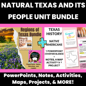
Natural Texas And Its People Unit Bundle: Texas Regions and Native Americans
This Natural Texas and Its People Texas History Unit Bundle is the perfect all-in-one resource for teaching Texas geography and Native American cultures. With TEKS-based content, this bundle covers everything from the mountains and basins region to the Western Gulf culture, including in-depth explorations of the Puebloan, Plains, Southeastern, and Western Gulf cultures. You'll also find engaging activities, worksheets, and a hexagonal thinking activity to keep your students interested and motiva
Grades:
6th - 8th
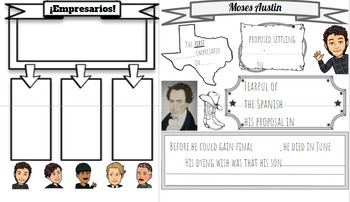
Empresarios & Moses Austin Doodle Notes
Do your students love doodle notes, sketch notes and visual note taking? Mine sure do! Unfortunately there aren't many resources like that out there for Texas History! THAT is where I come in! I used this handout (doodle notes) as an in class activity paired with a lecture/powerpoint to learn about the Empresarios & Moses Austin. TEKS: 7.2 E & 7.2 F
Grades:
4th - 7th
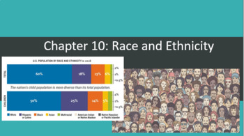
Intro to Sociology- Chapter 10 Bundle- Race and Ethnicity
- A comprehensive bundle that has everything you need to objectively teach about race and ethnicity- The bundle includes the following:a PowerPoint/lecture guide that also doubles as the chapter lesson plansIEP/504 friendly, fill in the blank notes that coincide with a the PPT A guided reading with link to FREE, NEW ONLINE TEXTBOOKa brief article covering John Howard Griffin's famous social experiment of attempting to live undercover as a black man in America during the 1950's with embedded ques
Subjects:
Grades:
9th - 12th, Higher Education
Types:
Louisiana 4th Grade Social Studies Unit 1 Topic 2 & 3 Bundle (Slide+Notecatch)
Unit 1 Chapters 2-3 lesson slides AND student notecatchers as well. The student note catchers are perfect for keeping a social studies journal. Students take notes, cut them out, and glue them into their journals. A wonderful study tool, too!I will update this from time to time. If you see a type or think that I missed something, please let me know and I'll fix it ASAP.
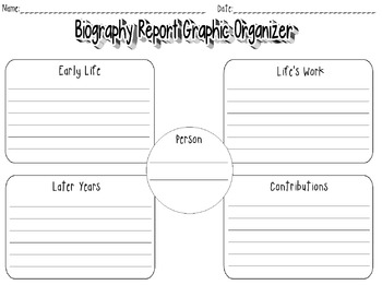
Biography Report Graphic Organizer
This is a graphic organizer that goes directly with www.pebblego.com. We use the Pebble Go website a lot when doing research projects that are Biography's on people in first grade.
Each of the tabs that are on each person are on this graphic organizer.
If you like this also check out the Biography Book that goes along with it.
Grades:
K - 3rd
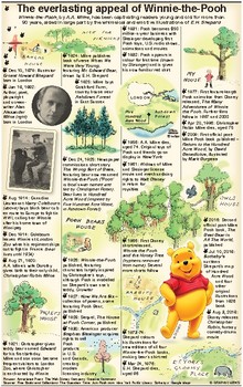
History of Winnie-the-Pooh
Infographic shows the origins of Winnie-the-Pooh and how he came to be one of the world’s most beloved literary characters, for both children and adults alike. This infographic was produced for media publishers rather than teachers when the original illustrated map of The Hundred Acre Wood, which featured in the opening pages of A.A. Milne's “Winnie-the-Pooh”, was auctioned at Sotheby’s in London.For further information: https://www.graphicnews.com/en/pages/40462/entertainment-christopher-robin-
Subjects:
Grades:
K - 2nd
Types:
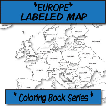
Europe Political Map (Labeled) **Coloring Book Series**
**Geography Coloring Book Series****History Coloring Book Series**This political map is ready for students to color or use for reference. Each independent state comes pre-labeled.These are particularly great for AP US History, AP Human Geography, or any other geography, Spanish, history course, or social science course.The format is .PNG to allow for you to paste and stretch in Word. I've found that .3'' margins (all sides) is the farthest most standard printers will allow. Set these in your Wo
Grades:
Not Grade Specific
Types:
Also included in: MAP BUNDLE *Europe* Labeled, Unlabeled Word Bank, Quiz, Coloring (4)
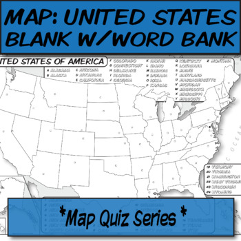
WORD BANK United States Political Map **Quiz Series**
**Geography Coloring Book Series****History Coloring Book Series**This blank political map with word bank is ready for students to label. Each independent state is left blank with a corresponding word bank for assistance.These are particularly great for AP Human Geography, AP US History, or any other social science course.The format is .PNG to allow for you to paste and stretch in Word. I've found that .3'' margins (all sides) is the farthest most standard printers will allow. Set these in your
Grades:
Not Grade Specific
Types:
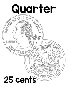
US Coins Sheets: Quarter, nickel, dime, penny
Clipart and realistic images of four, main US coins, front and back, with names and monetary values.
- The penny is a US coin worth one cent. (1¢)
- The nickel is a US coin worth five cents. (5¢)
- The dime is a US coin worth ten cents. (10¢)
- The quarter is a US coin worth twenty-five cents. (25¢)
Grades:
PreK - 2nd
Types:
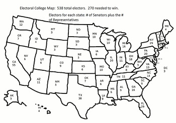
2016 Electoral College Map: Constitution Day
This is a JPEG of the 2016 Electoral College Map.
The map can be used with these questions:
Electoral College Map Questions
Grades:
5th - 12th
Types:
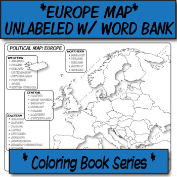
Europe Political Map (Unlabeled with Word Bank) **Coloring Book Series**
**Geography Coloring Book Series****History Coloring Book Series**This political map is ready for students to color or use for reference. Each independent state is left blank for students to label with the help of a word bank.These are particularly great for AP US History, AP Human Geography, or any other geography, Spanish, history course, or social science course.The format is .PNG to allow for you to paste and stretch in Word. I've found that .3'' margins (all sides) is the farthest most sta
Grades:
Not Grade Specific
Types:
Also included in: MAP BUNDLE *Europe* Labeled, Unlabeled Word Bank, Quiz, Coloring (4)
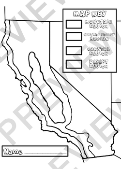
California Regions
Have students color code the California regions with crayon and glue on bits of tissue paper onto designated regions to give this graphic organizer a 3D effect.
Grades:
3rd - 4th
Types:
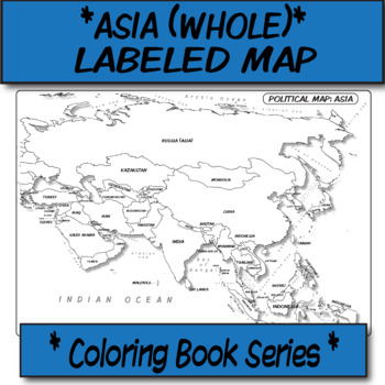
Asia (WHOLE) Political Map (Labeled) **Coloring Book Series**
**Geography Coloring Book Series****History Coloring Book Series**This political map is ready for students to color or use for reference. Each independent state comes pre-labeled.These are particularly great for AP US History, AP Human Geography, or any other geography, Spanish, history course, or social science course.The format is .PNG to allow for you to paste and stretch in Word. I've found that .3'' margins (all sides) is the farthest most standard printers will allow. Set these in your Wo
Grades:
Not Grade Specific
Types:
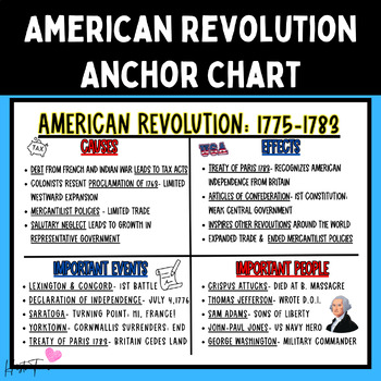
American Revolution Anchor Chart STAAR Review Poster 24x18
Print and laminate this poster to display this anchor chart that summarizes the key causes, effects, events, and people of the American Revolutionary War. This is a quick and easy way to display information for your unit and it is helpful to have available to refer to as you teach your lessons. This poster is inteded to be printed as a 24x18 poster from places such as Walgreen or Staples (which frequently have discounts).CLICK HERE FOR MORE AMERICAN HISTORY RESOURCES
Grades:
5th - 12th
Also included in: Early American History Anchor Chart Posters FOR THE ENTIRE YEAR
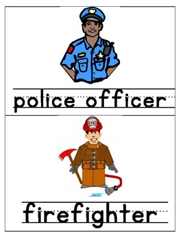
Community Helpers Pictures & Words
Pictures of community helpers and their names. They can be used for a bulletin board, a book, or as pictures to introduce the community helpers to your students.
Subjects:
Grades:
PreK - K
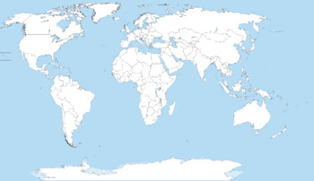
Blank World Map for K-12 country / continent education and learning
Great teacher resource for teaching students basic world geography and countries/continents of the world. This free download can be printed and distributed to your students to fill-in continent or country names.
Grades:
1st - 12th, Higher Education, Adult Education
Boho Rainbow numbers & calendar cards
Numbers 1-31 that can be used on a calendar or as student number cards and a few special event cards that can be added to the calendar (special day, birthday, field trip). These go along with the boho rainbow color theme.
Grades:
Not Grade Specific
Also included in: Boho Rainbow Classroom Bundle
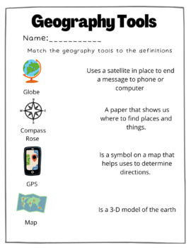
Geography Tools Matching Worksheet
This is a great resource to teach or check for understanding. Students will match the geography tools to the correct definition. I absolutely loved utilizing this resource to first teach andthen assess to check for understanding!
Grades:
Not Grade Specific
Types:
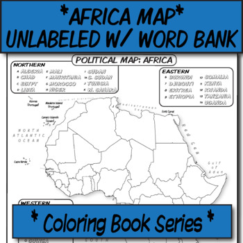
Africa Political Map (Unlabeled with Word Bank) **Coloring Book Series**
**Geography Coloring Book Series****History Coloring Book Series**This political map is ready for students to color or use for reference. Each independent state is left blank for students to label with the help of a Word Bank.These are particularly great for AP US History, AP Human Geography, or any other geography, Spanish, history course, or social science course.The format is .PNG to allow for you to paste and stretch in Word. I've found that .3'' margins (all sides) is the farthest most sta
Grades:
Not Grade Specific
Types:
Also included in: *UNLABELED POLITICAL MAP BUNDLE* **Coloring Book Series**
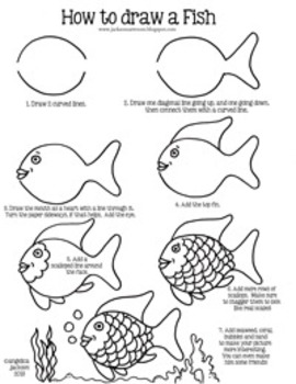
How to draw a fish
I use this method when teaching my students how to draw a fish from a very popular book at the beginning of the year. I make sure to tell them that their fish doesn't have to look just like mine, but by doing the steps they will be able to draw a fish and make adjustments as they see fit. :)
I have had lots of success with it! You can see the progress of some students on my blog, www.jacksonsartroom.blogspot.com.
This item is a paid digital download from my TpT store
(http://www.teacherspayte
Grades:
K - 5th
Types:
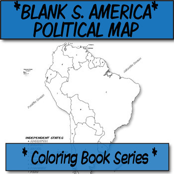
*Coloring Book Page* South America Political Map
**Geography Coloring Book Series**This blank political map is ready for students to color. Each independent country is labeled with a letter than corresponds to its name (which they can also color-code).These are particularly great for AP Human Geography, any geography course, or global studies course.The format is .PNG to allow for you to paste and stretch in Word. I've found that .3'' margins (all sides) is the farthest most standard printers will allow. Set these in your Word page setup befor
Grades:
Not Grade Specific
Also included in: *Coloring Book Pages* TEN Political Maps **Coloring Book Series**
California Flag Design
Encourage students to get creative and design their very own California flag!
Grades:
4th - 5th
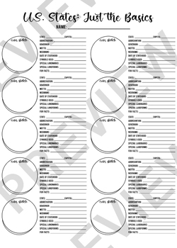
U.S. States Worksheet
Students can use this worksheet to learn the basics about U.S. States! A great brainstorming lesson and organizer students can reference to learn about the states.
Grades:
4th - 7th
Types:
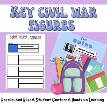
Civil War Figures I research based I student based I hands-on I US History
Trying to spice up the Civil War? Then this is for you! Students will match 20 key figures with their picture and role in the war. Students can work in groups, partners, or independently! I also include a sheet for them to sort them based off of what side they benefitted!Finally, there is a note sheet for students to record the information learned about each figure!
Grades:
7th - 10th
Types:
Showing 1-24 of 259 results

