7,640 results
Geography independent works for Google Apps
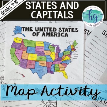
50 States and Capitals Map Activity with printable worksheets & digital map game
Do your students need to know the state capitals and the location of each state on a map? This engaging map set for the 50 states and their capitals will guide your students through labeling a blank map and learning the capitals. Print and digital options plus access to online self-checking map and flashcards let you easily customize the lesson to best fit the needs of your students. Students will label a blank map of the United States with the names of the 50 states and then record the capital
Subjects:
Grades:
4th - 10th
Types:
Also included in: American History Map Activities Bundle for U.S. History Units & Lessons
5 Themes of Geography Stations Activity | Five Themes of Geography Lesson
In this Five Themes of Geography stations and student activity, students analyze the five themes of geography (location, place, human-environment interaction, movement, and region) to understand how geographers study the world!This best-selling geography resource is included in the massive All Things Geography Bundle, as well as the American or the World History PLUS Curriculum!This lesson begins with students doing an introductory reading and activity on the five themes of geography. Then, stu
Grades:
5th - 9th
Types:
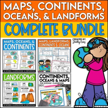
Maps, Continents and Oceans, Landforms, and Map Skills Bundle
This Social Studies bundle includes the best-selling Maps, Continents, and Landforms Interactive Notebook, along the coordinating word wall posters! Students and teachers love the ease of the hands-on printables, worksheets, and digital activities of this complete bundle!By purchasing this bundle, you are saving 20% off the full value of the individual resources.This helpful, easy to use bundle includes:Maps, Continents, Landforms, and Map Skills Interactive Notebook Continents, Oceans, and Maps
Subjects:
Grades:
3rd - 6th
4th 5th & 6th Grade Social Studies Curriculum Activities Project Unit Bundle
Social Studies Class will be your students' favorite time of the day with this popular, engaging bundle of activities, including foldables, timelines, mini books, bulletin boards, and more! The hands-on units in this bundle will help your students learn and understand the events and concepts of American History, Government, and Geography.Click the PREVIEW button above to see everything included!By purchasing this complete bundle, you are saving 20% off the price of the individual units.ALL packe
Grades:
4th - 7th
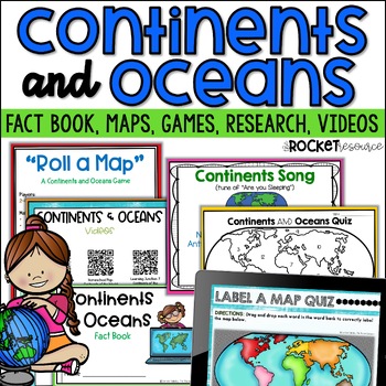
Continents and Oceans Activity | 7 Continents Printables | Ocean and Continents
Are you looking for a fun and engaging continents and oceans activity to teach map skills lessons in 2nd and 3rd grade? With engaging games, songs, maps and more, these 7 continents printables will lead to student mastery in no time! Students can label the 7 continents on a map, learn about the continents and oceans through reading passages, play continents and oceans games, sing songs, complete continent and oceans project ideas, and complete research. INCLUDES BOTH A PRINT AND DIGITAL VERSIO
Subjects:
Grades:
2nd - 4th
Types:
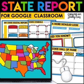
State Research Project | State Report for Google Classroom | 50 States Project
Your students will love completing a state research report with this easy-to-follow digital U.S. State Report Project! Students can research any state and use the provided slides to complete their report. A great option is to print the reports when students are finished to create an eye-catching display for your classroom!Click the PREVIEW button above for a closer look at everything included!This engaging Digital State Report Packet includes:State Research Resource Guide (a list of student-frie
Grades:
3rd - 6th
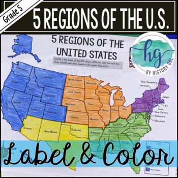
5 Regions of the United States Map Activity (Print and Digital)
Students will label and color a map to help them learn and remember the states in each of the 5 regions of the United States - Northeast, Southeast, Southwest, Midwest, and West. Since state standards vary on the region placement of Delaware and Maryland (some place them in the Northeast while others place them in the Southeast), this download now includes both variations.Version 1 (Delaware and Maryland in the Southeast):Northeast (Connecticut, Maine, Massachusetts, New Hampshire, New Jersey, N
Subjects:
Grades:
5th
Types:
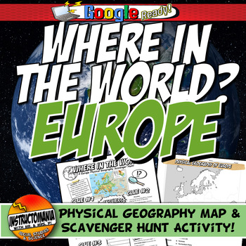
Where in the World Scavenger Hunt & Map Activity Set Physical Geography Europe
This geography activity is completely student-driven, fun, and interactive. It can be done with any textbook map or atlas with European physical geography. First, students create a physical map of Europe, labeling key features. Then, students play the Where in the World Scavenger Hunt printable clue game. Students guess the features by reading four description clues for differing geographical features of Europe. It comes with a key!What's Included:⭐ Physical map activity⭐ Scavenger Hunt Activity
Grades:
4th - 8th
Types:
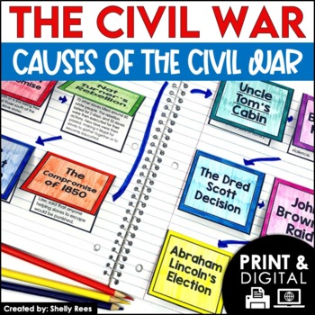
Causes of the Civil War | Civil War Map and Timeline DIGITAL and PRINTABLE
Students are fully engaged in learning about the causes of the Civil War with this interactive packet. The hands-on approach of this resource, including a timeline, foldables, map activity, bulletin board, and more, will help your students learn and understand the cause and effect relationships of events in this period of history!Click the PREVIEW above to see this resource in greater detail!Click here and SAVE 20% by buying ALL 15 Social Studies Interactive Notebooks and Mini Units in one Year
Grades:
5th - 8th
13 Colonies Regions New England, Middle, & Southern Colony Regions
In this 13 Colonies and Colony Regions activity, students compare the New England, Middle and Southern Colony Regions. Students read the included student-friendly article (either in a group, individually, or as a class), then fill in the details on the included graphic organizer. This serves as a great intro to the 13 Colonies, or as a great way to learn the varying characteristics of the New England, Middle, or Southern colony regions.This resource includes a paper in-class version and a 1:1
Grades:
5th - 8th
Types:
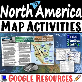
Geography of North America Map Practice Activities | USA Canada Mexico | Google
End the cycle of bored students copying from books to label maps! Your classes think critically with these digital, interactive, geography activities. First, students answer questions about North America by analyzing various physical & political maps of the region. Then, a drag & drop challenge assesses their learning of the locations. This resource also includes a printable worksheet that takes labeling maps to the next level! They create a map of the United States, Canada, and Mexico u
Subjects:
Grades:
5th - 12th
CCSS:
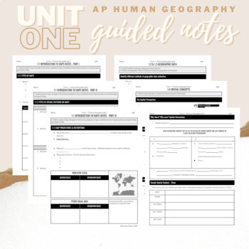
Unit 1: Student Guided Notes - AP Human Geography
Notes pages for each CED topic for Unit One. Use the guided notes to scaffold your Human Geography lectures or use the notes with my accompanying lecture videos on Youtube! You can find one or more lectures that correlate directly with EACH CED Topic for AP Human Geography Unit 1 here. Students can use as a study guide, you can assign for homework, or use with a self-guided lecture! You can assign this to be completed digitally for distance learning or print and have students complete hardcopy.
Subjects:
Grades:
9th - 12th
Types:
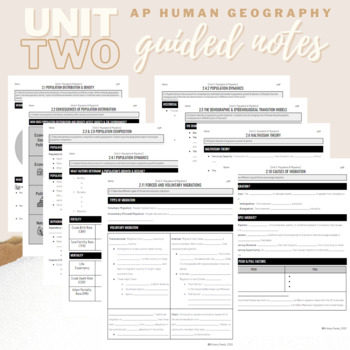
Unit 2: Student Guided Notes - AP Human Geography
Notes pages for each CED topic for Unit Two.Use the guided notes to scaffold your Human Geography lectures or use the notes with my accompanying lecture slideshow! You can find slideshow lectures that correlate directly with EACH CED Topic for AP Human Geography Unit 2 here.Students can use as a study guide, you can assign for homework, or use with a self-guided lecture! You can assign this to be completed digitally for distance learning or print and have students complete hardcopy.So many uses!
Subjects:
Grades:
9th - 12th
Introduction to Maps, Map Reading, Topography, and Geography Unit
In this maps skills and introduction to map reading, map features, and basic geography, students are introduced to the common elements that all maps have and a variety of different map styles, including climate maps, political maps, physical maps, road maps, topographic maps, and economic and resource maps! ✮✮ This resource is now Google 1:1 compatible! ✮✮Students first learn about map titles, keys, the compass, and the scale, then are engaged with learning about the variety of different maps
Grades:
4th - 7th
Types:
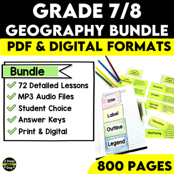
Grade 7 and 8 Geography Bundle Ontario Curriculum
This comprehensive Grade 7/8 Geography Bundle is meticulously designed to empower teachers and captivate students with 72 in-depth and engaging lessons. This bundle is specifically tailored to help educators nurture a deep understanding of essential concepts in both physical and human geography.Through this bundle, your students will embark on a journey exploring various geographical physical patterns, including landforms, water systems, vegetation regions, climate regions, and the challenges po
Subjects:
Grades:
7th - 8th
Types:
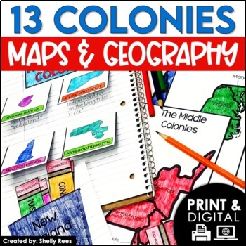
13 Colonies Map and Activities | Colonial America Unit | DIGITAL & PRINTABLE
Your students will love learning about the 13 Colonies maps and geography with this interactive packet. These hands-on activities, like maps, foldables, bulletin board, and more, will help your students learn and understand the geography and regions of Colonial America!Click the PREVIEW above to see everything included in this resource!Click here and SAVE 20% by buying ALL 15 Social Studies Interactive Notebooks and Mini Units in one Year-Long Bundle.This resource includes both a printable vers
Grades:
3rd - 6th
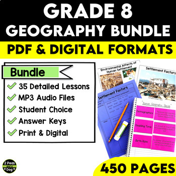
Grade 8 Geography Bundle Ontario Curriculum
This comprehensive Grade 8 Geography Bundle covers both Strand A and Strand B of Grade 8 Geography for the Ontario Curriculum. With 35 in-depth lessons at your fingertips, you can now guide your students on an exciting journey to explore and understand global settlement patterns, their environmental impact, economic development, and how quality of life is impacted by many factors. With this Grade 8 Geography Bundle, you can inspire your students to become global citizens with a deeper understand
Subjects:
Grades:
8th
Types:
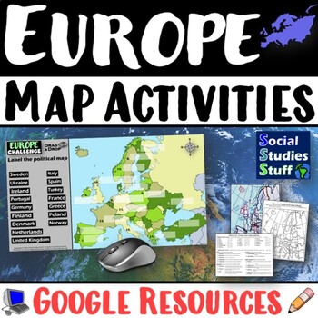
Geography of Europe Map Practice Activities | Print and Digital | Google
End the cycle of bored students copying from books to label maps! Your classes think critically with these digital, interactive, geography activities. First, students answer questions about Europe by analyzing various physical & political maps of the region. Then, a drag & drop challenge assesses their learning of the locations. This resource also includes a printable worksheet that takes labeling maps to the next level! They create a map using only absolute & relative location clues
Subjects:
Grades:
5th - 12th
CCSS:
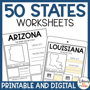
50 States Worksheets | Activities | Printable & Digital | Google Classroom
Printable and Digital 50 States Worksheets! Everything you need for students to research the 50 states is included! Each state worksheet is designed for students to research and complete independently. The extra research pages provide added rigor for those students wanting a challenge. The bibliography template requires students to document their sources when completing their research. Finally, the grading rubric provides students with clear assignment expectations. Printable PDF and Google D
Grades:
3rd - 6th
Types:
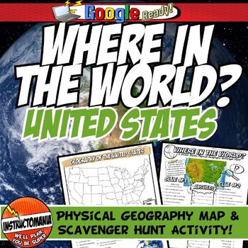
United States Where in the World Scavenger Hunt & US Map Geography Activity
This geography activity is completely student-driven, fun, and interactive. It can be done with any textbook map or atlas with the physical geography of the U.S. If this resource is not available, a map of the U.S. is included. First, students create a physical map of the U.S., labeling key features. A template is included. Then, students play the Where in the World Scavenger Hunt printable clue game. Students guess the features by reading four description clues for differing geographical featur
Grades:
4th - 8th
Types:
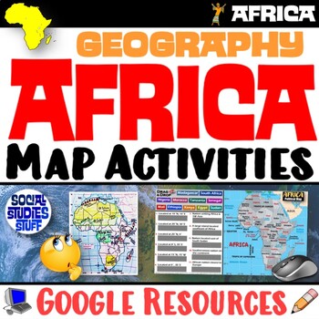
Geography of Africa Map Practice Activities | Print and Digital | Google
End the cycle of bored students copying from books to label maps! Your classes think critically with these digital, interactive, geography activities. First, students answer questions about Africa by analyzing various physical & political maps of the region. Then, a drag & drop challenge assesses their learning of the locations. This resource also includes a printable worksheet that takes labeling maps to the next level! They create a map using only absolute & relative location clues
Subjects:
Grades:
5th - 12th
CCSS:
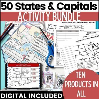
50 States and Capitals Bundle Map Print & Digital Resource 50% OFF
Everything you need (and more) to teach the 50 States and Capitals Help your upper elementary & middle school students learn the 5 regions of the United States with printable assessments and activities, digital Boom Cards, digital self correcting Easel assessments and Google map activities. This product will help you teach, review, and assess your students. You save 40% When you purchase all 10 products as a bundle!Bundle Includes:50 States and Capitals Test Printouts (includes Easel self co
Grades:
4th - 6th
Types:
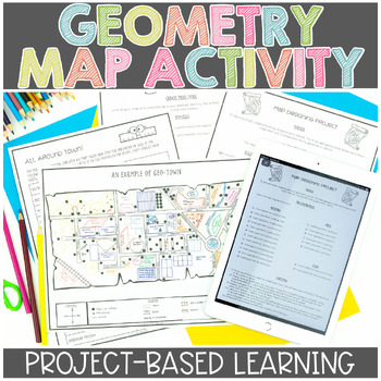
Map Skills | Project Based Learning | Geometry | Printable & Digital | Google
Have your students demonstrate their understanding of many different math concepts while designing a map of their own town! This hands-on math activity is a project that will definitely engage your students.Check out the preview for more details!Objective: To demonstrate an understanding of geometric terms and measurement. Students will be designing and drawing a map that will incorporate many mathematical concepts.The following concepts will be covered through this project-based learning activi
Subjects:
Grades:
2nd - 5th
Also included in: Project Based Math Activities BUNDLE
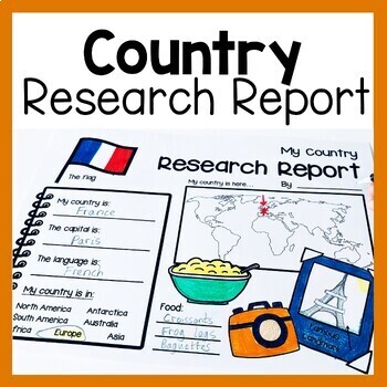
Country Research Report Worksheets and Graphic Organizers Google Slides
Are you looking for engaging activities for writing a country research project? These country research graphic organizer worksheets are perfect for your literacy and social studies lessons about countries. They are ideal for research projects and report writing. They are also great for reading lessons with informational texts.These informational essay graphic organizers are offered as no prep printables, as well as in digital formats (TPT Easel and Google Slides). Here's the thing. You want your
Subjects:
Grades:
1st - 3rd
Showing 1-24 of 7,640 results

