4,247 results
Geography independent works for Microsoft PowerPoint
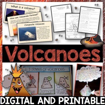
Volcanoes Complete Pack - Printables, Editable PowerPoint, Interactive Notebooks
This Volcano Unit is exploding with a variety of printables, Diagrams, Interactive notebooks, and a 100% editable PowerPoint.*Also includes digital access via Google Slides.What’s included in the pack: (Answer keys are included.) • PowerPoint Review Sheet• Volcanoes Reading Comprehension• Label the parts of a volcano • Volcano Labeled Diagram • 3 Stages of a Volcano Poster (8.5” x 11”) – Active, Dormant, and Extinct• Cinder Cone, Composite, and Shield Volcanoes Posters (1 of each)• Types of Volc
Subjects:
Grades:
3rd - 6th
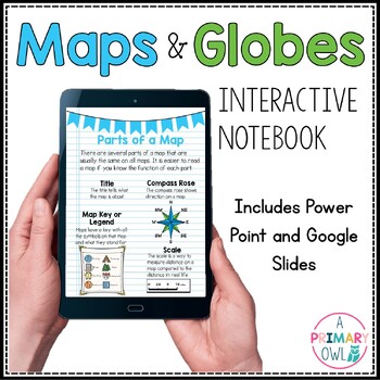
Maps and Globes Skills Digital Interactive Notebook PowerPoint Google Slides
This digital resource is perfect for your Maps and Globes unit. It includes BOTH a power point and a Google slides presentations. There are 25 total slides, some are teaching slides that explain the vocabulary and concepts and others are interactive with click and drag activities. Covers the following topics:What is a map?What is a globe?Comparing Maps and GlobesParts of a MapCompass RoseTypes of MapsResource Map ActivityEquator and Prime MeridianLongitude and Latitude Continents and OceansMap S
Subjects:
Grades:
2nd - 4th
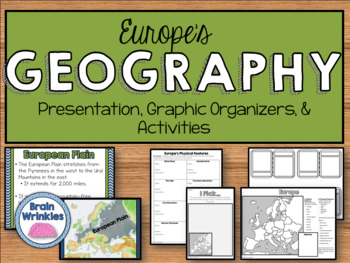
Geography of Europe: Physical Features (SS6G7a)
This file is a resource pack about the major physical features in Europe: the Danube River, Rhine River, English Channel, Mediterranean Sea, European Plain, the Alps, Pyrenees, Ural Mountains, and the Iberian Peninsula (as outlined by the Georgia Standard of Excellence – SS6G7a,b). This lesson includes a presentation with important facts about the features and where they are located, as well as colorful images. There is also a graphic organizer for note-taking during the presentation, a quick ma
Grades:
6th
Also included in: Europe Unit BUNDLE - Geography, History, Government, Economics, Etc.
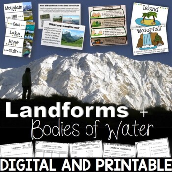
Landforms & Bodies of Water Bundle| Printables, PowerPoint, Interactive Notebook
This landforms pack will engage your students in learning about 19 different landforms / bodies of water. There are Posters, Word Wall Cards, “What am I” cards, Printables, Interactive notebook, and a 100% Editable PowerPoint. *Also includes digital access via Google Slides.Landforms included in this unit: Mountain, Hill, Valley, Plain, Island, Sand Dune, Peninsula, Canyon, Delta, Plateau, Mesa, Ocean, Sea, Lake, River, Gulf, Canal, Glacier, and WaterfallAnswer Keys are included.• PowerPoint Rev
Subjects:
Grades:
2nd - 5th
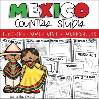
All About Mexico - Country Study
Your students will love learning all about Mexico with this fun country study! Included is a Powerpoint slideshow (.pptx) to teach your class all about Mexico, the capital city, flag, food, language, famous landmarks, the Day of the Dead and the Mayan Civilization! Student activity worksheets are also included based on the facts in the Powerpoint (all differentiated on two levels to support the different abilities in your class), plus a Mexico word search, postcard activity and favorite facts ac
Subjects:
Grades:
1st - 3rd
Also included in: Country Study Bundle
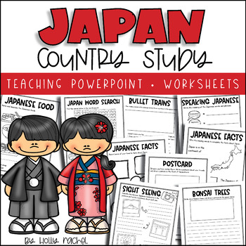
All About Japan - Country Study
Your students will love learning all about Japan with this fun country study! Included is an all about Japan Powerpoint presentation (.pptx) to teach your class all about Japan, the capital city, flag, food, language, famous landmarks, bullet trains and bonsai trees! Student activity worksheets are also included based on the facts in the Powerpoint (all differentiated on two levels to support the different abilities in your class), plus a Japan word search, postcard activity and favorite facts a
Subjects:
Grades:
1st - 3rd
Also included in: Country Study Bundle
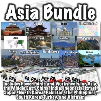
Asia Bundle
This Asia bundle contains PowerPoint/Google Slides presentations and worksheets for the continent of Asia, the Middle East region, and the countries of China, India, Indonesia, Israel, Japan, North Korea, Pakistan, the Philippines, South Korea, Thailand, Turkey, and Vietnam. PDFs, PowerPoints, and links to download versions formatted for Google Apps are included. This bundle also includes two optional 50-question assessments- one focusing on South and Southwest Asia and the other focusing on Eas
Grades:
6th - 8th
CCSS:
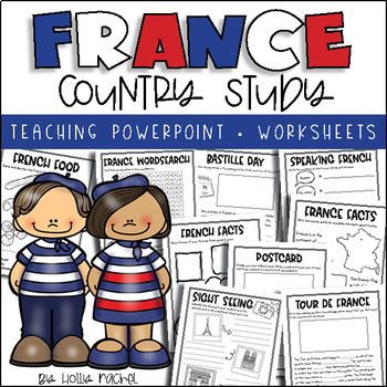
All About France - Country Study
Your students will love learning all about France with this fun country study! Included is an all about France Powerpoint presentation (.pptx) to teach your class all about France, the capital city, flag, food, language, famous landmarks, Bastille Day and the Tour de France! Student activity worksheets are also included based on the facts in the Powerpoint (all differentiated on two levels to support the different abilities in your class), plus a France word search, postcard activity and favorit
Subjects:
Grades:
1st - 3rd
Also included in: Country Study Bundle
Map Skills & Types of Maps BUNDLE- Printables, PowerPoint - Distance Learning
Map Skills and Types of Maps Bundle: Everything you need to teach the unit! This bundle includes interactive notebooks, printables and activities, and a 100% editable PowerPoint with review questions. Your students will have fun learning all about the map elements (title, compass rose, legend, map scale, coordinate grid), the different types of maps (climate, political, physical, road, resource) and more vocabulary such as symbols, cardinal and intermediate directions, latitude, longitude, equat
Subjects:
Grades:
3rd - 5th
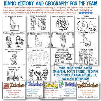
✩Idaho History and Geography for the YEAR! HUGE!!✩ CCSS Integration! Top Rated.
✩✩✩LIFETIME UPDATES!✩✩✩IDAHO HISTORY & GEOGRAPHY FOR THE ENTIRE YEAR! Meets all of Idaho Content Standards, Social Studies, Fourth GradeWith CCSS Science, Reading, Writing, ELA, and Math Integration! Teacher Tool Kit with Every Section.Top Reviews: See all reviews on the listing page. Here's one example: This is easily the most comprehensive Idaho History & Geography file I've ever seen. It's worth every single penny and truly brings Idaho's History/Geography to life. My students LOVED o
Subjects:
Grades:
3rd - 5th
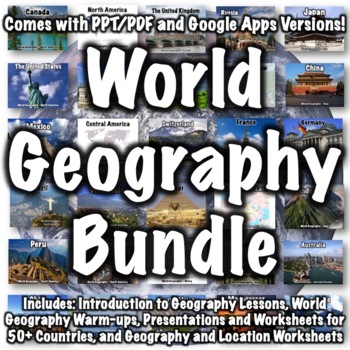
World Geography Bundle
This bundle includes over 100 world geography products. Several products that follow a similar format to products in the bundle are available for free if you want to check them out, including:Introduction to World Geography PresentationIntroduction to World Geography WorksheetUnited States Geography WorksheetEurope Location WorksheetChina Presentation China WorksheetItaly PresentationItaly WorksheetProducts in the bundle include:Introduction to Geography:Introduction to World Geography Presentat
Subjects:
Grades:
5th - 8th
CCSS:
Ancient India Geography + Monsoons Lesson Guided Notes and PowerPoint Activity
In this Ancient India Geography notes and PowerPoint lesson activity, students learn about the geography, climate, and monsoons of modern and ancient India. First, students complete a two-page guided note worksheet with the included 18-slide PowerPoint presentation. A map activity is also included in the guided notes for students to locate and identify locations as the notes are completed. Next, students complete a close-reading assignment about a ship-wrecked sailor that shows the ancient Ind
Grades:
5th - 8th
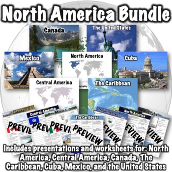
North America Bundle
This bundle includes the following products:Canada PowerPointCanada WorksheetThe Caribbean PowerPointThe Caribbean WorksheetCentral America PowerPointCentral America WorksheetCuba PowerPointCuba WorksheetMexico PowerPointMexico WorksheetNorth America PowerPointNorth America WorksheetThe United States PowerPointUnited States WorksheetPDFs, PowerPoints, and links to download versions formatted for Google Apps are included. An optional 50-question assessment is also included as both a word doc and
Subjects:
Grades:
5th - 8th
CCSS:
South America Bundle
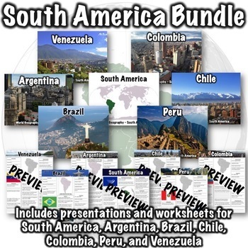
This South America bundle includes the following products:South America PowerPointSouth America WorksheetArgentina PowerPointArgentina WorksheetBrazil PowerPointBrazil WorksheetChile PowerPointChile WorksheetColombia PowerPointColombia WorksheetPeru PowerPointPeru WorksheetVenezuela PowerPointVenezuela WorksheetPDFs, PowerPoints, and links to download versions formatted for Google Apps are included!An optional 50-question assessment is also included as both a word doc and a Google Form. Due to t
Grades:
6th - 8th
CCSS:
Charts & Graphs PowerPoint Slides | Review and Practice
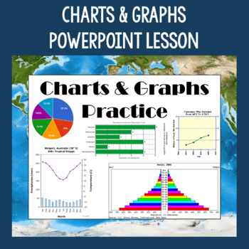
This Charts & Graphs Lesson includes a full PowerPoint presentation that can be used for many different purposes such as teaching students how to read different types of charts & graphs, reviewing charts & graph skills, bell ringers/daily starters, etc. Pie charts, bar graphs, line graphs, population pyramids, climographs, cartograms, and tables are covered in the lesson. Tips for reading the charts and graphs are included, as well as several questions about each type. This PowerPoin
Grades:
6th - 9th
Also included in: Geography Skills PowerPoint Lessons Bundle
Geography Introduction Bundle
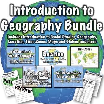
This geography introduction bundle includes the following products: Introduction to World Geography PresentationIntroduction to World Geography WorksheetIntroduction to Social Studies PresentationLatitude and Longitude Worksheet - U.S. CapitalsLocation PresentationMaps and Globes PresentationThematic Maps Worksheets OneThematic Maps Worksheets TwoTime Zones PresentationPowerPoints, PDFs, and links to download versions formatted for Google Apps are included. Guided notes pages are included with t
Subjects:
Grades:
5th - 8th
CCSS:
Layers Of The Atmosphere: Interactive Google Slides + PPT Version + Worksheet
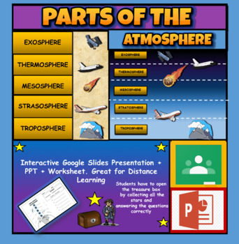
Layers Of The Atmosphere: Interactive Google Slides + PPT + Worksheet (Distance Learning)Interactive presentation & quiz on Layers of the atmosphere. Please view the powerpoint previewINTERACTIVE GOOGLE SLIDES/POWER POINT PRESENTATION on layers of the atmosphere. It can be used for distance learning and google classroom or within the classroom.Once downloaded: Please view the GOOGLE SLIDES/POWERPOINT IN 'PRESENT ▶️' modeWorksheet also included in ZIP file 'Parts of the atmosphere' .These are
Subjects:
Grades:
3rd - 8th
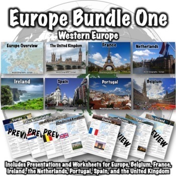
Europe Bundle One
This Europe bundle covers Western Europe and includes the following products:Europe PresentationEurope WorksheetBelgium PresentationBelgium WorksheetFrance PresentationFrance WorksheetIreland PresentationIreland WorksheetNetherlands PresentationNetherlands WorksheetPortugal PresentationPortugal WorksheetSpain PresentationSpain WorksheetThe United Kingdom Presentation The United Kingdom WorksheetPDFs, PowerPoints, and links to download versions formatted for Google Apps are included. An optional
Grades:
5th - 8th
CCSS:
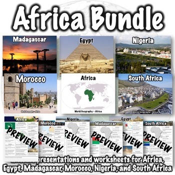
Africa Bundle
This Africa bundle includes the following products:Africa PresentationAfrica WorksheetEgypt PresentationEgypt WorksheetMadagascar PresentationMadagascar WorksheetMorocco PresentationMorocco WorksheetNigeria PresentationNigeria WorksheetSouth Africa PresentationSouth Africa WorksheetPDFs, PowerPoints, and links to download versions formatted for Google Apps are included. An optional 25-question assessment is also included as both a Word doc and a Google Form. Due to the amount of information cove
Grades:
5th - 8th
CCSS:
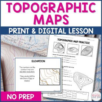
Topographic Maps Complete Lesson | Topographic Map Activity
Your students will be reading topographic maps in a snap with this complete topographic map lesson. Included in this digital and print topographic map lesson are no-prep resources to teach your students to read contour lines, determine contour intervals, and identify elevation. The digital version can easily be shared in Google Classroom.Take a look at the in-depth preview for a closer look at this topographic map resource! Included in this topographic map resource:Topographic Map Presentation
Subjects:
Grades:
4th - 8th
NGSS:
4-ESS2-2
Also included in: Topographic Map Activity and Topographic Map Worksheets Bundle
Ancient History Interactive Notebook Mega Bundle
This bundle includes all the Ancient History Interactive Notebooks currently available in The Teacher's Prep store!
ANSWER KEYS are included in each notebook!
**An editable vocabulary page has been added to this resource. It's in a PowerPoint file. Simply add in your own vocabulary words, print, and go!**
The bundle includes a wide variety of interactive notebook graphic organizers for each civilization in the bundle. This allows teachers to customize the activities for their own classrooms
Subjects:
Grades:
5th - 8th
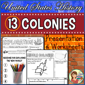
13 Colonies Presentation & Doodle Notes
The thirteen original colonies and colonial exploration are introduced in a 25-slide presentation (PowerPoint & Google Slide options). Plus, you can keep your students' attention with guided notes! The notes are designed in an engaging format allowing for students to add some color to their papers.This zipped file includes:★ Settling America PowerPoint / Google Slides: This 25-slide presentation introduces students to the development of the 13 British colonies and more. It begins by looking
Grades:
4th - 6th
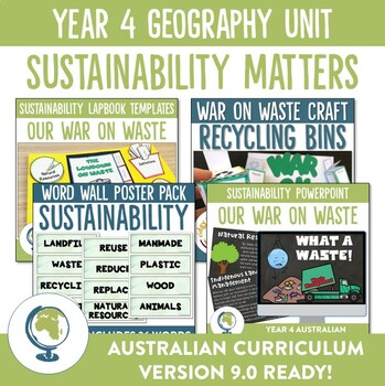
Australian Curriculum 8.4 and 9.0 Year 4 Geography Unit - Sustainability
Teaching to the Australian Curriculum does not need to be stressful! With our easy to use Geography Unit (version 8.4 and 9.0) on sustainability you will be able to cover the content required of the Year 4 curriculum as well as engage your students in fun, hands-on learning experiences.Some items in this bundle can be purchased separately here:- Sustainability Powerpoint presentation- Sustainability Lapbook templates- Sustainability Word Wall Posters- Recycling Bin Craft and Bulletin Board displ
Subjects:
Grades:
3rd - 5th
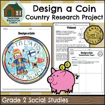
Country Research Project - Design a Coin (Grade 2 Ontario Social Studies)
This project is intended as a culminating task for Grade 2 Social Studies - Global Communities, aligned with the new 2023 Ontario Social Studies curriculum. Students will research different countries. To make the research process simple, easy-to-read country texts are included for 20 different countries: Australia, Bangladesh, Brazil, Canada, China, Egypt, Finland, Germany, India, Indonesia, Italy, Japan, Kenya, Mexico, Nigeria, Pakistan, Russia, Ukraine, The United Kingdom, and The United State
Grades:
2nd
Also included in: Grade 2 Ontario Social Studies Workbook Bundle
Showing 1-24 of 4,247 results


