12 results
Geography outline images
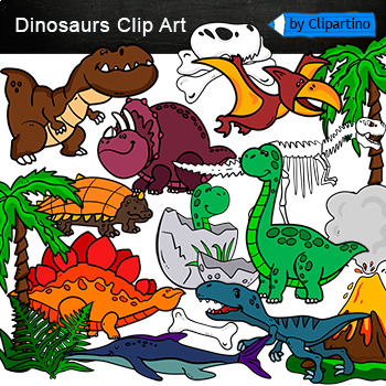
Dinosaurs Clip Art Commercial use
Cute Dinosaur Clip Art Commercial use/ Dino Clipart includes: fern * dino egg* volcano* Bones with skull Dinosaur* bone *dinosaur skeleton* ankylosaurus* apatosaurus* ichthyosaurus* pterodactyl* stegosaurus* triceratops* tyrannosaur* tyrannosaurus rex *tyrannosaurus rex.Download preview with free clipart inside license included!All18 png files transparent background+jpgand 17 png black-white coloring outlines files+jpgFor personal and small commercial use!!!! See more animals clipartDinosaurs of
Grades:
PreK - 12th, Higher Education, Adult Education, Staff
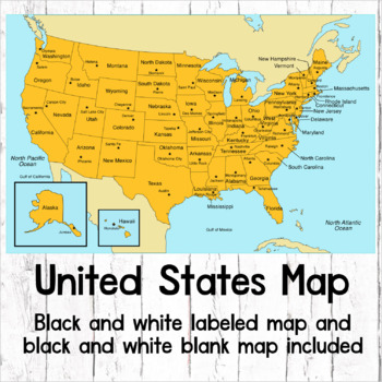
USA Map of United States (Black and white labeled and blank maps included)
This is a set of clear colored and black-line USA maps to use in your lesson preparation and teaching resources.1. USA Labeled color2. USA Labeled black -line3. USA Blank black-lineThe maps are orientated as rectangular landscape pages in easy to use PNG files. The images can be inserted into your documents.The maps can to be printed at Letter / A4 or Ledger / A3 paper, however, they will remain clear when pulled out to 40” height by 60” width. The PNG map files can be printed st
Subjects:
Grades:
Not Grade Specific
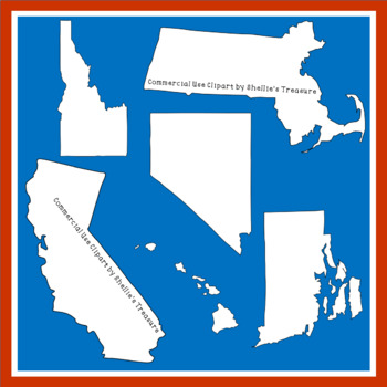
All 50 States of the United States Black and White Outline Clipart
Black and white PNG files of all 50 states of the United States. Downloads as a ZIP file. The picture titles have the state names on them so you know which state is which. Each Clipart piece is a black and white outline of the state. No words on the clipart. Enjoy this resource to create anything for your personal or commercial use. Please include link to credit my shop in any products that you create. Thank you https://www.teacherspayteachers.com/Store/Shellies-TreasureCheck out this fun game t
Grades:
PreK - 11th
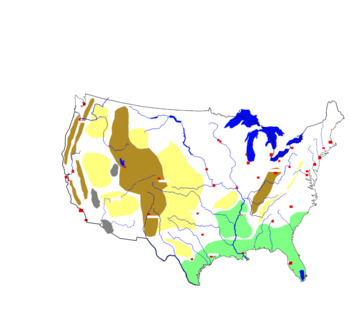
Blind map of the United States with rivers, cities and relief units
Blind map of the United States with rivers, cities and relief unitsStudents will need to complete this map with the correct names. They will complete the names of rivers, cities and relief units. They can also be helped by the school atlas with the map of the United States
Subjects:
Grades:
5th - 12th
Types:
Outer Space decorative elements: outline BW borders, corners, frames, dividers
Hello! Welcome to Panta Rhei Arts Arts shop, your creative source for digital artworks! =DThis is an outer space decorative elements (borders, corners, frames and dividers) with high quality (300 dpi) digital images. ✧YOU´LL RECEIVE✧This clipart set includes 42 outer space theme illustrations with respective quantities and sizes at their longest side (width or height):18 corners: 7in14 borders: 12in6 dividers: 5in4 frames: 16inAll elements are in PNG (transparent background / 300dpi) ✧ HOW YOU C
Subjects:
Grades:
PreK - 3rd
Also included in: Outer Space Bundle
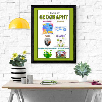
Themes of Geography Classroom Poster 18x24
Print, laminate, and decorate your room with this poster reminding your students of the five major themes of geography! This is especially perfect for world geography teachers! This poster shows illustrations of movement, location, place, region, and human-environment interactions.This poster is intended to be printed as 16x20 poster.You can have these 16x20 posters printed at Walgreens or at Office Depot. Be sure to check for coupons because they frequently offer them for prints!HistoTeam- Trus
Grades:
4th - 12th
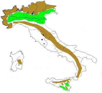
Blind map of italy with rivers and relief units
It can be used to evaluate students. The teacher will number the areas (rivers or relief units) that the students want to identify.
Subjects:
Grades:
PreK - 11th
Types:
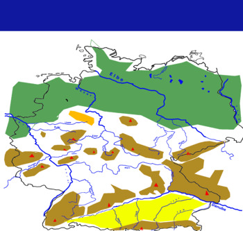
The rivers of Germany
The sketch can be used to teach students faster the rivers of Germany
Subjects:
Grades:
PreK - 12th
Types:
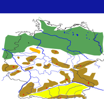
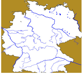
Blind map of Germany with rivers and relief units
The map can be used to evaluate students. Rivers and relief units will be numbered, and students will need to complete the names of rivers or relief units.
Subjects:
Grades:
PreK - 12th
Types:
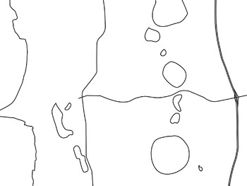
Picture Map of Beeliar Bibra Lake and soundings in WA
This map has picture representation of the suburb Beeliar in Western Australia
It links well with Geography and History in the Foundation Curriculum in Western Australia as well as Australian National Curriculum.
It is a jpg download that can be imported into other programs.
Subjects:
Grades:
PreK - 1st
Types:

Primary geography planning lessons
These are different areas to consider when planing environment geography related lessons
Subjects:
Grades:
3rd - 6th
Showing 1-12 of 12 results


