34 results
Geography game images
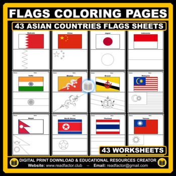
Asian Countries Flags Coloring Pages - 43 Worksheets
Let your kids or your class students Have fun learning about the countries of Asia with these flags coloring pages (Countries geographically located in Asia).HERE ARE SOME BENEFITS OF COLORING:1. Improves Motor Skills2. Prepares Them for School3. Stimulates Creativity4. Contributes to Better Handwriting5. Teaches Color Awareness, Recognition, and Discernment6. Improves Focus and Hand to Eye Coordination7. Helps Learn about Boundaries, Structure, and Spacial Awareness8. Improves Confidence and Se
Grades:
PreK - 6th
Also included in: Flags of the World BUNDLE Coloring Pages - 193 Worksheets
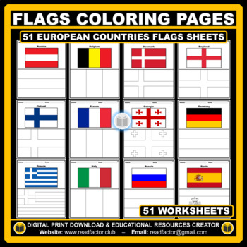
European Countries Flags Coloring Pages - 51 Worksheets
Let your kids or your class students Have fun learning about the countries of Europe with these flags coloring pages (51 countries geographically located in Europe).HERE ARE SOME BENEFITS OF COLORING:1. Improves Motor Skills2. Prepares Them for School3. Stimulates Creativity4. Contributes to Better Handwriting5. Teaches Color Awareness, Recognition, and Discernment6. Improves Focus and Hand to Eye Coordination7. Helps Learn about Boundaries, Structure, and Spacial Awareness8. Improves Confidence
Grades:
PreK - 6th
Also included in: Flags of the World BUNDLE Coloring Pages - 193 Worksheets
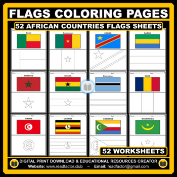
African Countries Flags Coloring Pages - 52 Worksheets
Let your kids or your class students Have fun learning about the countries of Africa with these flags coloring pages (52 countries geographically located in Africa).HERE ARE SOME BENEFITS OF COLORING:1. Improves Motor Skills2. Prepares Them for School3. Stimulates Creativity4. Contributes to Better Handwriting5. Teaches Color Awareness, Recognition, and Discernment6. Improves Focus and Hand to Eye Coordination7. Helps Learn about Boundaries, Structure, and Spacial Awareness8. Improves Confidence
Grades:
PreK - 6th
Also included in: Flags of the World BUNDLE Coloring Pages - 193 Worksheets
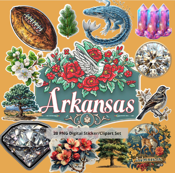
Arkansas Wonders: Vibrant State Symbol Sticker Set
Unlock the Natural State's Charm in Your Classroom with Arkansas Wonders!Dive into the heart of Arkansas with our exclusive "Arkansas Wonders: Vibrant State Symbol Sticker Set for Educators." This unique collection is designed to captivate and educate, bringing the rich tapestry of Arkansas's state symbols right into your classroom. Crafted with teachers in mind, these high-quality vector images are perfect for a wide range of educational and creative projects.What's Included:A meticulously cura
Subjects:
Grades:
Not Grade Specific
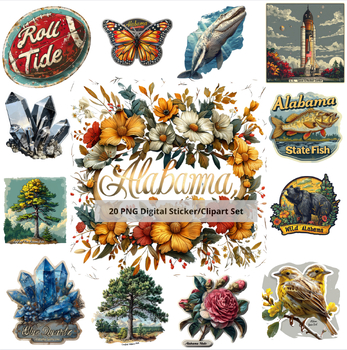
Diverse Alabama: 30-Image Clip Art Set
Product Description:Dive into the heart of Alabama with our meticulously curated 30-image clip art set, "Diverse Alabama." This collection is a vibrant celebration of Alabama's rich cultural heritage, natural beauty, and iconic symbols. Each image has been thoughtfully designed to reflect the unique spirit and charm of Alabama, making this set an invaluable resource for educators, scrapbookers, and sticker enthusiasts alike.What’s Included:A total of 30 high-quality PNG images with transparent b
Subjects:
Grades:
Not Grade Specific
Types:
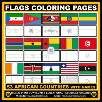
Flags Coloring Pages of African Countries with Names
Let your kids or your class students Have fun learning about the countries of Africa with these flags coloring pages (53 countries geographically located in Africa).HERE ARE SOME BENEFITS OF COLORING:1. Improves Motor Skills2. Prepares Them for School3. Stimulates Creativity4. Contributes to Better Handwriting5. Teaches Color Awareness, Recognition, and Discernment6. Improves Focus and Hand to Eye Coordination7. Helps Learn about Boundaries, Structure, and Spacial Awareness8. Improves Confidence
Grades:
PreK - 6th
Also included in: BUNDLE Countries of the World Flags Coloring Pages with Names
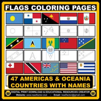
Flags Coloring Pages of Americas & Oceania Countries With Names
Let your kids or your class students Have fun learning about the countries of the Americas & Oceania with these flags coloring pages (Countries geographically located in America & Oceania).HERE ARE SOME BENEFITS OF COLORING:1. Improves Motor Skills2. Prepares Them for School3. Stimulates Creativity4. Contributes to Better Handwriting5. Teaches Color Awareness, Recognition, and Discernment6. Improves Focus and Hand to Eye Coordination7. Helps Learn about Boundaries, Structure, and Spacial
Grades:
PreK - 6th, Higher Education
Also included in: BUNDLE Countries of the World Flags Coloring Pages with Names
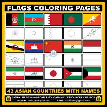
43 Flags Coloring Pages of Asian Countries With Names
Let your kids or your class students Have fun learning about the countries of Asia with these flags coloring pages (43 countries geographically located in Asia).HERE ARE SOME BENEFITS OF COLORING:1. Improves Motor Skills2. Prepares Them for School3. Stimulates Creativity4. Contributes to Better Handwriting5. Teaches Color Awareness, Recognition, and Discernment6. Improves Focus and Hand to Eye Coordination7. Helps Learn about Boundaries, Structure, and Spacial Awareness8. Improves Confidence and
Grades:
PreK - 6th
Also included in: BUNDLE Countries of the World Flags Coloring Pages with Names
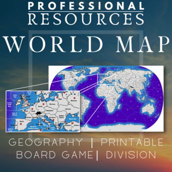
World Map | Regions | Board Game | Geography | Printable | Diplomacy | Risk
This file is a high resolution World Map with almost 160 land areas and 85 sea zones. It is ideal for a board game map for games like Diplomacy or Risk which can be used in the classroom. Could be useful for creating games, using teaching techniques like the World Peace Game or general use for Geography in the classroom.Also good for Social Studies and History. High quality image - 8848 x 5062 pixels* To print using a regular printer, insert the jpg file into Excel. You can make it any size requ
Subjects:
Grades:
5th - 8th
Types:
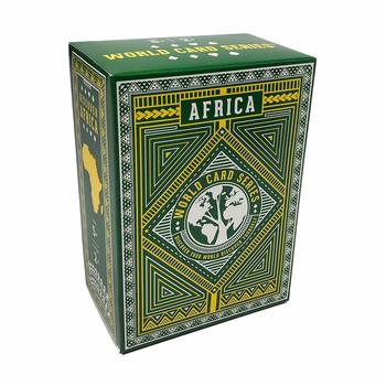
Africa Continent Deck - World Card Series
FREE SHIPPING IN THE U.S.A. & 22% EDUCATOR ONLY DISCOUNT50% EDUCATOR DISCOUNT WITH WORLD CARD SERIES BUNDLE The original Africa Continent Card Deck includes:250+ unique facts about Africa2 standard playing card decks108 custom designed playing cards6 CATEGORIES: Fun Facts, People, Cultures, Geography, Resources, & Physical Features.Flags, countries and capitals of all Africa countriesU.S. & metric measurements7+ LearnPlay Instructions"To get lost is to learn the way." - African Prove
Grades:
Not Grade Specific
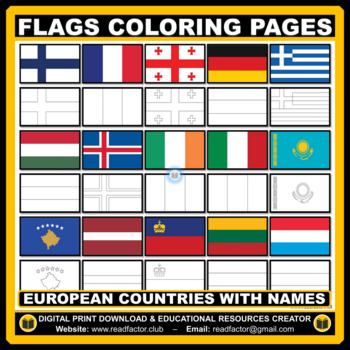
Flags Coloring Pages of European Countries with Names
Let your kids or your class students Have fun learning about the countries of Europe with these flags coloring pages (Countries geographically located in Europe).HERE ARE SOME BENEFITS OF COLORING:1. Improves Motor Skills2. Prepares Them for School3. Stimulates Creativity4. Contributes to Better Handwriting5. Teaches Color Awareness, Recognition, and Discernment6. Improves Focus and Hand to Eye Coordination7. Helps Learn about Boundaries, Structure, and Spacial Awareness8. Improves Confidence an
Grades:
PreK - 6th
Also included in: BUNDLE Countries of the World Flags Coloring Pages with Names
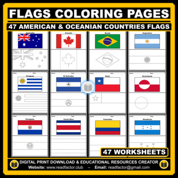
American and Oceanian Countries Flags Coloring Pages - 47 Worksheets
Let your kids or your class students Have fun learning about the countries of the Americas & Oceania with these flags coloring pages (Countries geographically located in America and Oceania).HERE ARE SOME BENEFITS OF COLORING:1. Improves Motor Skills2. Prepares Them for School3. Stimulates Creativity4. Contributes to Better Handwriting5. Teaches Color Awareness, Recognition, and Discernment6. Improves Focus and Hand to Eye Coordination7. Helps Learn about Boundaries, Structure, and Spacial A
Grades:
PreK - 6th
Also included in: Flags of the World BUNDLE Coloring Pages - 193 Worksheets
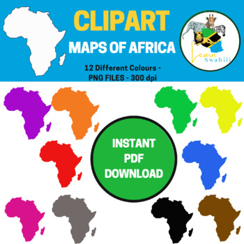
MAPS OF CONTINENT OF AFRICA CLIPART - 12 DIFFERENT COLOURS
This clip art graphic collection of maps of the continent of Africa is a great resource for Social Studies, Geography, and History teachers.NB: All 12 clipart files are PNG and 300 dpi.Files included are:- Map of the continent of Africa in the colour Black- Map of the continent of Africa in the colour Blue- Map of the continent of Africa in the colour Brown- Map of the continent of Africa in the colour Green- Map of the continent of Africa in the colour Grey- Map of the continent of Africa in th
Grades:
PreK - 2nd
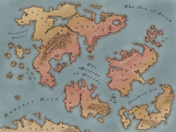
Dungeons & Dragons Desert Themed Map
Unique world map for a Dungeons and Dragons campaign set in a desert realm. Kid-friendly names and places, complete with capital cities, outlying cities, mountain ranges, deserts, islands, oceans, seas, and continent names. A few unnamed points of interest for you to decide during the game.
Subjects:
Grades:
Not Grade Specific
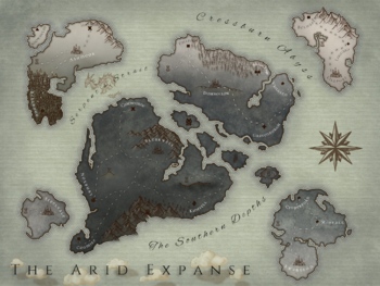
Dungeons & Dragons Steampunk Map
Unique world map for a Dungeons and Dragons campaign set in a steampunk realm. Kid-friendly names and places, complete with capital cities, outlying cities, mountain ranges, deserts, oceans, seas, straits, and continent names. A few unnamed points of interest for you to decide during the game.Includes a compass and interesting geographical features that can be decided by you or your players to add to the lore of the world!
Subjects:
Grades:
Not Grade Specific
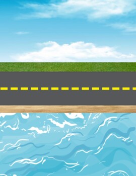
Transportation Sorting Mat
Print out on card stock and laminate. Have children use matchbox or similar cars, planes, boats, etc to sort into land, sea and air categories.
Subjects:
Grades:
PreK - 1st
Types:
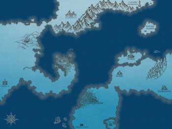
Dungeons & Dragons Winter Fairy Map
A kid-friendly winter-themed map. The pack comes with one version of the map that is labelled and one that is unlabelled if you'd like to create your own names for the cities and points of interest.
Subjects:
Grades:
Not Grade Specific
Types:
Geography Emergency Sub Plans - Social Studies Comoros word search
Geography Social Studies sub plansThis word search puzzle can be used as emergency sub plans at any time. If your substitute is not a geography expert, this resource will still work fine. This word search puzzle contains the names of twenty four people, places and vocabulary terms related to Comoros.The word search is a PDF and ready to print and use.DO YOU WANT TPT CREDITS? Simply provide feedback for this purchase and you will receive TPT credits. Also, your feedback will help me to determine
Grades:
Not Grade Specific
Types:
Also included in: Emergency sub plans - French speaking countries bundle
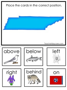
Tennessee State Symbols themed Positional Word Preschool Literacy Game.
One of our 50 States educational game downloads in a PDF file.Here is what you get!Tennessee State Symbols themed Positional Word Game. 1 game board and 6 game pieces.Prints 1 page.The games are designed and produced by Teach At Daycare in Arkansas City Kansas.Please see our many other items in our store. We always have full curriculum sets, new games, worksheets, and more!Thank you for visiting.
Subjects:
Grades:
PreK - 1st
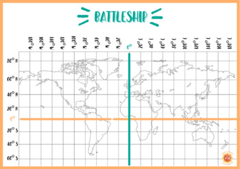
BATTLESHIP MAP
Map to work on coordinates, cardinal points and latitude/longitude.Mapa para trabajar las coordenadas, los puntos cardinales y la latitud y longitud.
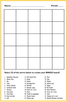
Geography Bingo Board
Geography Bingo Board to be used with the Geography Bingo Game sold here. Grades 6-12.
Grades:
Not Grade Specific
Types:
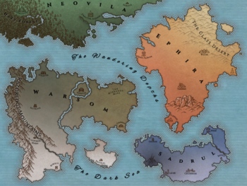
Dungeons & Dragons Fantasy Map
A labelled map for Dungeons & Dragons, Pathfinder, or any other game! It is also great for lessons about maps and mapmaking. What makes a good map? How could you add to it to make it more informative? This map comes with a fun "secret" built in--the four continents start with N, S, E, W, and are essentially their own compass! This could be worked into a riddle or somewhere else in the game.
Grades:
Not Grade Specific
Countries & Nationalities I. FREEBIE. Digital Game.
This FREEBIE and Digital Game developed by José An. is a collaboration with the great Ron Leishman, and will have students learning about Countries and Nationalities in a fun and digitally interactive way. The great thing about these games and activities is that you can scan and choose which game you would like to work on with your class, students, and/or child. You can spread the activities out to your liking, use for small group, centers, at home, and so much more!This Digital Countries a
Grades:
K - 6th
Types:
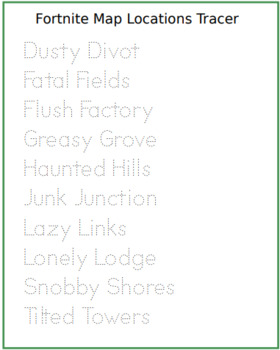
Fortnite Locations Tracing Sheet
This one's for the classes out there who love Fortnite. Encourages the kids to practice hand writing and Fortnite "Geography" skills associated with the game they love.
Subjects:
Grades:
2nd - 6th
Types:
Showing 1-24 of 34 results


