40 results
Geography lesson images
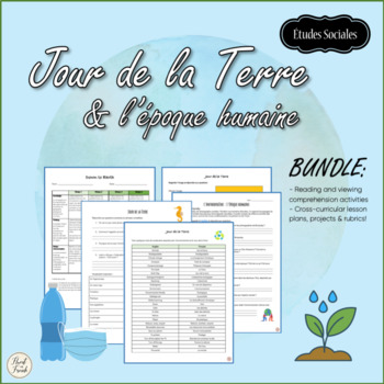
Jour de la Terre & l'époque humaine | Earth Day, Climate change
Jour de la Terre or Earth Day is April 22! Have you thought about what you would like to do with your students? This BUNDLE is full of cross-curricular lessons and projects en français! Using visual art, we can raise awareness about climate change, learn about what communities around the world are doing to live greener lives, and to make a difference in the world!Students will use digital media to make a poster, take photographs, and to watch films on human activities and their impacts on our pl
Subjects:
Grades:
6th - 12th
Types:
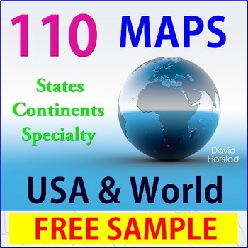
FREE - Geography USA Map
FREE - Geography USA Map. One USA outline map.(Resize or outline in Sharpie for any clarity issues.) _______________________________________________USA Map is a freebees printables from Geography | 110 Maps | USA & World, which includes the following: USA (28)• USA – 13 Colonies• USA – Civil War 1860• USA – Electoral Map• USA – Federal Land• USA – Goat Population• United States of America (abbreviations)• USA – Major Cities & Interstates• USA – Major Cities• USA – Major Cities• USA –
Grades:
K - 12th
Types:
Also included in: Top Sellers on TpT
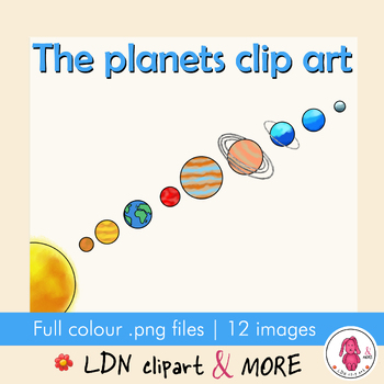
PLANET & Space Clip Art, make your own fun project!
SPACE and PLANETS, clip art illustrations of all the planets in a row including a space background. Create a design with all the planets aligned or choose a planet for your own design. Make your own creation: use them in you resources, add them to cards, add letters or sayings, you can use them in prints or in a geography lesson.Here is what you will get:➡️ 12 individual color PNG images with transparent background in a ZIP file➡️ 1 completed planets in a row with space background, 1 without ba
Subjects:
Grades:
Not Grade Specific
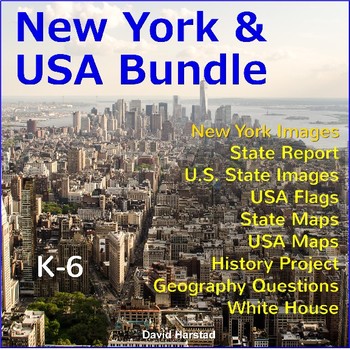
New York - New York History - New York Social Studies Grade 4
New York - New York State - Geography - New York Social Studies Grade 4 - New York Bundle. Classic New York images to support your teaching within the larger context of the United States. Keep search time efficient and productive. Bundle travels nicely across grade levels. Use for PowerPoints, reports, projects, or creative writing prompts. Integrate New York and America throughout the year. Click links for full Previews. Highlights: 900 U.S. State Images.65 USA Flags.50 U.S. Stat
Grades:
K - 7th
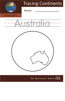
Geography: Tracing Names of Continents - Australia
Geography: Tracing Names of Continents - AustraliaThis worksheet can be used to learn continent recognition. It is also a useful worksheet to accompany lessons on world geography and Montessori continent map work.How to use:1. Print out worksheet.2. Have students trace the name of the continent.3. After tracing, students can color the inside of the continent.Appropriate for students ages 3-6+
Subjects:
Grades:
PreK
Types:
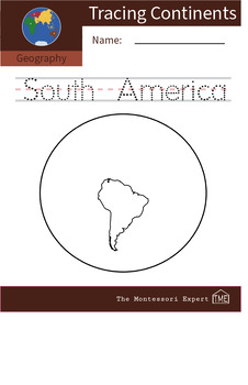
Geography: Tracing Names of Continents - South America
Geography: Tracing Names of Continents - South AmericaThis worksheet can be used to learn continent recognition. It is also a useful worksheet to accompany lessons on world geography and Montessori continent map work.How to use:1. Print out worksheet.2. Have students trace the name of the continent.3. After tracing, students can color the inside of the continent.Appropriate for students ages 3-6+
Subjects:
Grades:
PreK
Types:
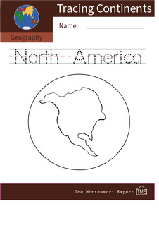
Geography: Tracing Names of Continents - North America
Geography: Tracing Names of Continents - North AmericaThis worksheet can be used to learn continent recognition. It is also a useful worksheet to accompany lessons on world geography and Montessori continent map work.How to use:1. Print out worksheet.2. Have students trace the name of the continent.3. After tracing, students can color the inside of the continent.Appropriate for students ages 3-6+
Subjects:
Grades:
PreK
Types:
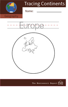
Geography: Tracing Names of Continents - Europe
Geography: Tracing Names of Continents - EuropeThis worksheet can be used to learn continent recognition. It is also a useful worksheet to accompany lessons on world geography and Montessori continent map work.How to use:1. Print out worksheet.2. Have students trace the name of the continent.3. After tracing, students can color the inside of the continent.Appropriate for students ages 3-6+
Subjects:
Grades:
PreK
Types:
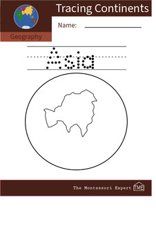
Tracing Names of Continents: Asia
Geography: Tracing Names of Continents - AsiaThis worksheet can be used to learn continent recognition. It is also a useful worksheet to accompany lessons on world geography and Montessori continent map work.How to use:1. Print out worksheet.2. Have students trace the name of the continent.3. After tracing, students can color the inside of the continent.Appropriate for students ages 3-6+
Subjects:
Grades:
PreK
Types:
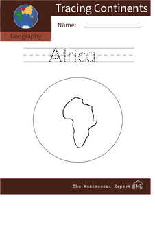
Geography: Tracing Names of Continents - Africa
Geography: Tracing Names of Continents - AfricaThis worksheet can be used to learn continent recognition. It is also a useful worksheet to accompany lessons on world geography and Montessori continent map work. How to use: 1. Print out worksheet.2. Have students trace the name of the continent.3. After tracing, students can color the inside of the continent.Appropriate for students ages 3-6+
Subjects:
Grades:
PreK
Types:
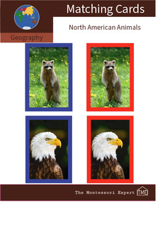
Geography Matching Cards: Animals of North America #4
Geography Matching Cards: North American AnimalsThe purpose of this activity is for children to develop language and recognition of animals in North America through matching.Appropriate for students ages 3-6 years oldHow to use:1. Print sheet and cut out red and blue cards.2. Lay out blue cards in one column vertically, while naming each animal as you lay them down3. Put red cards in a single pile face down4. Ask students to turn cards over one at a time, matching them to the corresponding anima
Subjects:
Grades:
PreK
Types:
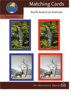
Geography Matching Cards: Animals of North America #2
Geography Matching Cards: North American AnimalsThe purpose of this activity is for children to develop language and recognition of animals in North America through matching.Appropriate for students ages 3-6 years oldHow to use:1. Print sheet and cut out red and blue cards.2. Lay out blue cards in one column vertically, while naming each animal as you lay them down3. Put red cards in a single pile face down4. Ask students to turn cards over one at a time, matching them to the corresponding anima
Subjects:
Grades:
PreK
Types:
State Report
State Report - State Projects - 50 States Bundle - Regions of the United States - States and Capitals Geography. (Gr. 3-7) Establish a foundation better than a Leaning Tower of Pisa engineer. Integrate U.S. states throughout the year with 900 images, 100 geography questions, state reports, and a history fair... plus a country report and science fair for a little fun. • Images keep search time efficient and productive. • At least 14 images per state with map outline, flag, seal, and
Subjects:
Grades:
3rd - 7th
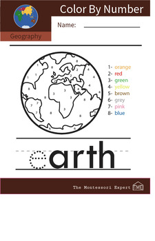
Geography: 'Earth' Color-by-number
Geography: Earth color-by-number image Appropriate for students ages 3-5 years old
Subjects:
Grades:
PreK
Types:
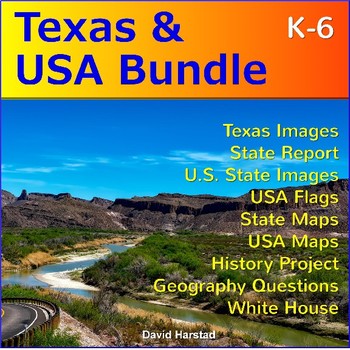
Texas - Texas History - Texas History 4th Grade
Texas - Texas History - Texas Symbols - Texas Map - Texas Bundle (K-7). Classic Texas images to support your teaching within the larger context of the United States. Keep search time efficient and productive. Images travel nicely across grade levels. Use for PowerPoints, reports, projects, or creative writing prompts. Integrate Texas and America throughout the year. Click links for full Previews. Highlights: 900 U.S. State Images.65 USA Flags.50 U.S. State Maps.28 USA Maps.20 White H
Grades:
K - 7th
Also included in: Texas & USA

Year 2/ Grade 1 Math, English, Science, History and Geography bundle
In this bundle you will have the opportunity to gain activities for:Math, English, Phonics,Science, History, Geography and fun activities all in this amazing bundle.
Subjects:
Grades:
1st
Types:
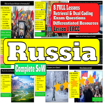
Russia Unit (7 Full Lessons!)
SoW: What is Russia’s Place in the World? (7 Full Lessons!) L1: Free Download - https://www.tes.com/teaching-resource/russia-landscape-12470260This unit is created in line with my personal passion for Geo-Politics. This unit is framed around both the physical and human landscapes within Russia, and the process and systems within them. A conscience effect has also been made to embed dual coding within this SoW, as well as much differentiation and debating.This Unit is my favourite to deliver and
Subjects:
Grades:
7th - 9th
Types:
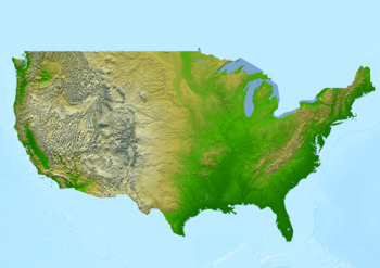
Physical map of the United States of America Poster
Physical map of the United States of America PosterThis poster features a physical map of the United States of America. The map highlights major physical features such as mountains, rivers, lakes, and deserts.The topography is shown in shaded relief, with darker shades indicating higher elevations, and lighter shades indicating lower elevations.This download contains files that may be printed and copied or used digitally.___________________________________________________________________World Ci
Subjects:
Grades:
PreK - 12th, Higher Education, Adult Education, Staff
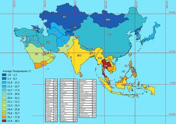
Asia map of average annual temperatures
Asia map of average annual temperaturesThis download contains files that may be printed and copied or used digitally.World City MapsBooksPinterestInstagramFacebookTikToK
Subjects:
Grades:
5th - 12th, Higher Education
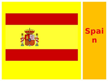
Spain
An introduction to Spain suitable for kindergarteners to third-graders.
Subjects:
Grades:
PreK - 3rd

Pilot Job Poster - Discover Your Passions
Do you love traveling the world, seeing new things, and exploring the amazing sites and people around the globe? You can be a pilot when you grow up! As a pilot, you will learn all about travel, geography, and transportation. It's the perfect job for people who love to see and learn new things!
Subjects:
Grades:
PreK - 3rd

HIGHLIGHTS IN CIVICS, HISTORY & GEOGRAPHY(WITH SPELLING MARTRIX)
This is a bundle of over half a dozen lesson planning material, excellent for teaching United States Civics, History and Geography State by State. It begins in this section of the series by concentrating on Washington and Oregon states.
This product can be used to acquaint students with some of the political figures of the day or to encourage their understanding and inquiry into a possible career in public office, (even though it is not a text on political views).
It includes a spelling
Subjects:
Grades:
7th - 12th
Types:
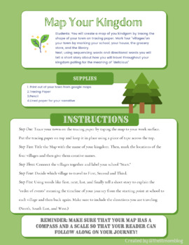
Map Your Kingdom!
This is a super fun activity to tie along with "The Search For Delicious," By Natalie Babbitt. It can also stand alone as an activity to pair with a lesson on maps and geography. This activity involves using a printed copy of your local map and tracing paper to plot points on a map of your kingdom. Grades 3-5
Subjects:
Grades:
3rd - 5th
Types:
Also included in: Unit Study Packet "The Search For Delicious," by Natalie Babbitt Gr.3-5
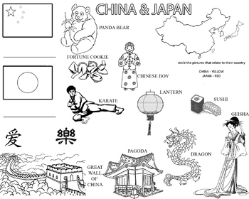
Have fun learning about China and Japan
Fun worksheet learning about China and Japan for 4-6 year olds!
Subjects:
Grades:
PreK - 1st
Types:
Showing 1-24 of 40 results


