2,382 results
Geography assessments for Microsoft Word
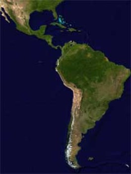
Latin America Mapping Activity
This product is a mapping activity on the region of Latin America. Students will label and color 24 different Latin American Nations as well as draw and label major physical features. When students have completed the map they will then answer 9 questions based on their map.This product also contains a blackline political map of Latin America. I typically make the map a 11x17 making it easier for students to label countries and physical features.This is a rigorous map project that makes the stude
Grades:
6th - 12th
Types:
Also included in: Geography Mapping Activities BUNDLE
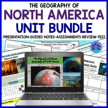
Geography of North America: United States and Canada Unit Bundle
This bundle covers the physical and human geography of North America, focusing on the United States and Canada. The resource includes many worksheets and activities that can be completed digitally or on paper, a Google Slides presentation, guided notes, an instructor's copy of the guided notes, a review sheet, and a test. This resource will help your students learn about the geography of the United States and Canada, from history and geography to culture, economy, and current issues.★☆★Here is a
Subjects:
Grades:
7th - 10th
Types:
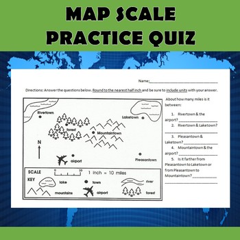
Map Scale Practice Quiz
Check out my other $1 sale here: Latitude and Longitude BattleshipI use this simple quiz as an introduction to using map scale. It can be used as a pre-assessment, post-assessment, or as an instructional tool. The quiz can be used in many different grade levels depending on how much practice your students have had with using scale. We do these five simple questions together as a class, and then I give them an additional scale worksheet that students complete on their own. This particular file is
Grades:
4th - 7th
Types:
Also included in: Map Scale Bundle
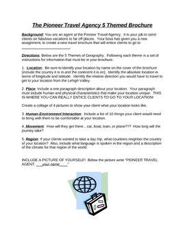
Travel Agency Brochure Project worksheet - 5 Themes of Geography
Students create a travel brochure for an assigned or chosen country using the 5 themes of geography to generate content for their brochure.
Rubric included.
Grades:
5th - 8th
Types:
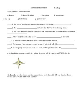
Map skills quiz includes continents, oceans, scale, time zones, latitude & more
This is a social studies assessment for basic map skills for late elementary and middle school students. Skills included are:Map skills vocabulary: equator, prime meridian, times zones, hemisphere, physical map, political map, map keyLabel compass rose and latitude and longitude lines. Matching continents and oceans. Interpret maps-- latitude and longitude, time zones, and grid map. It could also be used as a group activity rather than a test. Feel free to adapt it to your own needs. Answer
Subjects:
Grades:
4th - 9th
Types:
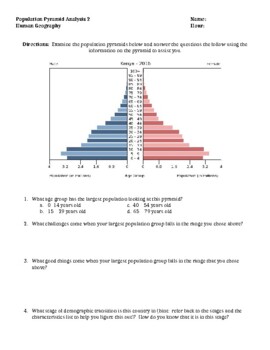
Population Pyramid Analysis Activity (Demographic Transition Model) Version 2.0
I use this activity after teaching both the Demographic Transition Model (stages of demographic transition) and the basics of population pyramids. Taking data from the CIA world fact book site, I have located 4 very different population pyramids that students analyze, answer questions about and make predictions into the future understanding much can be told about a nation looking at population demographics. This document could be used as a formative or summative assessment. Additionally, this
Grades:
8th - 12th
Types:
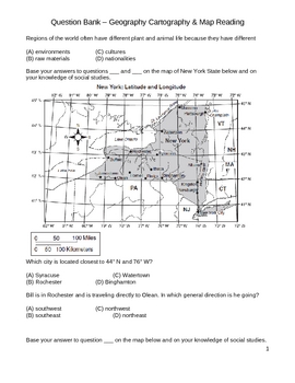
Middle School Social Studies Question Bank - Geography & Maps
This 30+ page document is a collection of both multiple-choice and extended written response questions that require students to demonstrate their knowledge of geography and map interpretation. Latitude/longitude , directional compasses, and interpreting maps are a major focus of this question bank. Use this question bank to design your own graded do nows, quizzes, and tests for your intermediate classroom (grades 4 - 8).
latitude, longitude, geography, maps, climate, region, city, town, settl
Subjects:
Grades:
4th - 8th
Types:
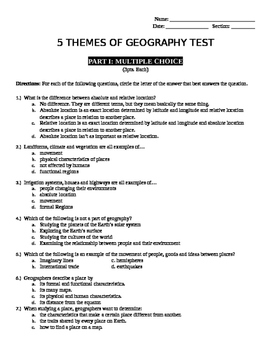
5 Themes of Geography Test
Comprehensive unit test for 5 Themes of Geography. Included are multiple choice questions, short answer, fill in the box and true/false questions as well as an answer key.
Subjects:
Grades:
4th - 7th
Types:
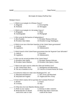
8th Grade US History Pretest/Posttest
This is a pretest for US History until the 20th century. It is a 50 question, multiple choice test and includes an answer key. If you would like to give this test through Google Forms, let me know and I will share it with you!
Subjects:
Grades:
7th - 12th
Types:
AP Human Geography Unit Slides and Exams Bundle
Created by an AP Human Geography teacher. This resource is designed as an overview of the 7 units from CollegeBoard's AP Human Geography course with slides and an unit exam.This resource includes the following products for each of the 7 units from the updated Course and Exam Description (2020):PowerPointCan be used for new teachers looking to grasp the concepts of a new curriculum, for seasoned teachers to review content prior to the exam, or even for students and parents to have as a visual rev
Grades:
9th - 12th
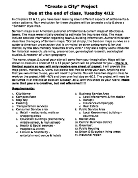
AP Human Geography - Create a City Project
Project correlates to Services and the Urban & Rural Land Use Chapters. Students are instructed to create their own city map and include elements of different service sectors. (Due Date information and work time in class has been left in the assignment, but this can be updated to your needs
Grades:
9th - 12th
Types:
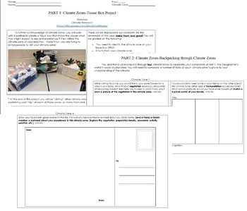
Climate Zones Tissue Box Project
This project is for students to research and create climate zones out of tissue boxes that will be displayed in the classroom for the remainder of the school year!Part 1: Creation of tissue box climate zone.Part 2: Students will "backpack" through their classmates climate zones and describe their experiences!Enjoy!
Subjects:
Grades:
4th - 8th
Types:

Canada Mapping Activity
This product is a mapping activity over Canada. Students will label and color Canadian provinces and territories as well as draw and label major physical features. When students have completed the map they will then answer 5 questions based on their map.This product also contains a blackline political map of Canada. I typically make the map 11x17 making it easier for students to label and draw physical features.This is a rigorous map project that makes the students learn about Canada and its phy
Grades:
6th - 12th
Types:
Also included in: Geography Mapping Activities BUNDLE

European Travel Itinerary Project Cultural Geography History Budgeting Editable
The European Travel itinerary Project was created for my 9th grade Cultural Geography class, but it would probably work for a variety of different social studies or life skills classes. This project is fully editable, so you can modify it to fit the needs of your classroom and reflect the specific course you are teaching. The European Travel itinerary Project is designed so students can learn about the geography, culture, history, and political systems of a chosen country in a fun and engaging
Grades:
6th - 10th
Types:
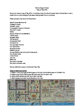
Maniac Magee Book Project
This a great end of the book activity. The students use details throughout the story to create a map of the main setting Two Mills, PA. This is the assignment for students along with pictures of finished products to use as an example! One way to use this is as a send home project once the book has been read. Another way is to let students work in groups to complete the map while in class. I have done this project both ways. Kids are really engaged!
Subjects:
Grades:
5th - 7th
Types:
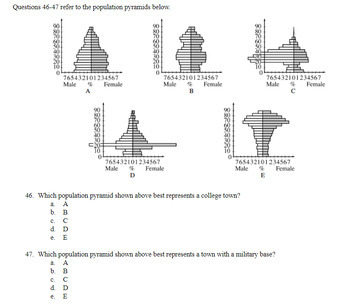
AP Human Geography Multiple-Choice Exam BUNDLE
This multiple-choice exam BUNDLE is an excellent resource to anyone teaching AP Human Geography. This exam pack is fully aligned with the College Board course outline and includes rigorous multiple-choice questions compiled from a variety of sources.Additionally, this fully editable exam BUNDLE includes:8 unit exams: 1) Principles of Geography, 2) Population and Migration, 3) Cultural Patterns and Processes - Culture and Languages, 4) Cultural Patterns and Processes - Religion and Ethnicity, 5)
Grades:
9th - 12th
Types:
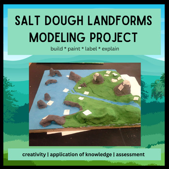
Salt Dough Landforms Model - Weathering, Erosion, Deposition Project
This was one of my favorite 7th grade projects back when I taught 7th grade (2010-2015). After learning about weathering, erosion, and deposition, the students had to make a model that shows landforms created by water and ice (glaciers). I counted this as the test for the unit.The file contains my day-by-day lesson plans for the project, the instructions for the kids and the rubric I used.The project requires few materials, which I required the students to bring in themselves: salt, flour, a sur
Subjects:
Grades:
6th - 10th
Types:
Also included in: The BIG Middle School Earth Science Bundle!
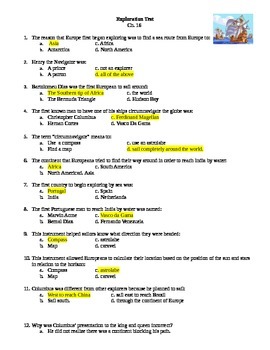
Age of Exploration Test: 50 Questions
This test contains 50 multiple choice questions with all answers highlighted (You will have to unhighlight for students). The test covers:The early explorers, Conquest of the Americas, New Patterns of Trade (Columbian Exchange, Mercantilism, and capitalism), and the Atlantic Slave Trade.Also: this test focuses on the 7 principles of mercantilism which are:1. A nation's strength depends on its wealth which is measured in gold and silver2. Only a fixed amount of wealth exists and all nations mus
Grades:
8th - 11th
Types:
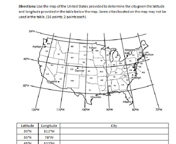
Latitude and Longitude Test (with Study Guide and Answer Key)
Test over latitude and longitude. Study guide includes questions, number of and types of questions on the test. Answer key included. Test itself is three pages, study guide is one page and answer key is three pages.
Subjects:
Grades:
4th - 8th
Types:
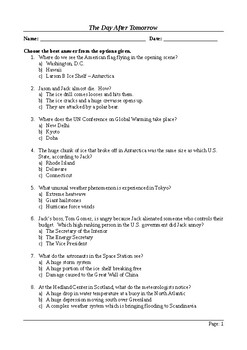
The Day After Tomorrow (2004) - MCQ - 50 Viewing Questions
50 questions to keep your students on task as they watch this exciting disaster movie. The questions are arranged in the same order as the events in the film to make it possible to use as an "open book" type activity as they view it. This is a multiple choice activity. I created it in this format to provide support for weaker students. It's a Word document so you can edit the questions to suit your class. It could also be used as a summary assessment / final quiz on the movie, although it was
Subjects:
Grades:
6th - 11th
Also included in: The Day After Tomorrow - Active Learning Resources Bundle
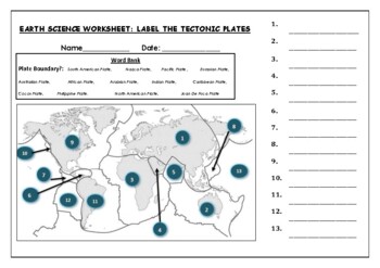
Earth Science worksheets: Label the tectonic plates
Earth Science worksheets: Label the tectonic platesStudents have to identify and label the major tectonic plates Word bank providedWorksheet aimed at higher elementary science lebel
Subjects:
Grades:
3rd - 8th
Types:
Inquiry Based Learning Project: RENEWABLE ENERGY
An Inquiry Based Learning Project your students are going to love!Renewable energy has become a more popular topic over the past two decades, largely because of rising global temperatures and an increase of climate catastrophes. While many renewable energies have been around for quite a while (solar, geothermal, tidal, etc.), the amount of resources being dedicated to advancing renewable technologies have skyrocketed as we culturally (and politically) understand what our reliance on fossil fuels
Subjects:
Grades:
7th - 12th
Also included in: THE INQUIRY BASED LEARNING RESEARCH BUNDLE
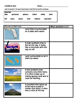
Landforms quiz that is ELL friendly
This is a landform quiz that not only provides the definition of landforms, but pictures as well. This makes is great for ELL learners as well as low level learners who may not be able to read the definition, but can identify the landform by looking at a photograph. This quiz assesses the following landforms: lake, peninsula, plateau, island, valley, plain, hill, coast, ocean, river, volcano, and mountain.
Subjects:
Grades:
2nd - 4th
Types:
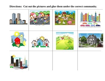
COMMUNITIES CUT and PASTE T-Chart Suburban Rural Urban
This activity is a simple cut, sort and paste for the 3 different communities studied at the primary levels. There are 3 different pictures for each community.
You can use this as classwork, a follow up activity, homework or a simple assessment to check for understanding.
Enjoy!
Grades:
K - 3rd
Types:
Showing 1-24 of 2,382 results


