55 results
Geography assessment interactive whiteboards
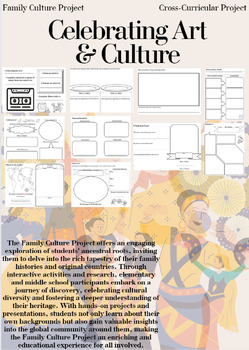
Family Culture Project: Activities, Resources, Google Slides and Lessons
The Family Culture Project offers an engaging exploration of students' ancestral roots, inviting them to delve into the rich tapestry of their family histories and original countries. Through interactive activities and research, elementary and middle school participants embark on a journey of discovery, celebrating cultural diversity and fostering a deeper understanding of their heritage. With hands-on projects and presentations, students not only learn about their own backgrounds but also gain
Subjects:
Grades:
1st - 8th
Types:
SC Regions Unit: Powerpoint, plans, exit slips, homework, study guide, and test
UNIT 2: SOUTH CAROLINA REGIONS
**Now includes both PowerPoint and SmartBoard formats!**
The SC Regions Unit is a comprehensive eight-day (approximately 45 minutes per day) instructional unit focused on the six regions of South Carolina. This package includes:
SC Regions Unit Lesson Plans
**Written in Explicit Direct Instruction (EDI) format. Each day includes a Learning Objective, Activating Prior Knowledge (APK) activity, Mini Lesson, Guided Practice activity, Independent Practice
Subjects:
Grades:
3rd
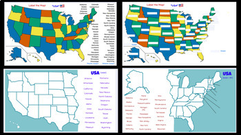
Interactive Digital USA Maps, Capitals, & State Codes Activities
There are different map options for students to use a moveable list of the 50 states to label each state on the map, or they can fill in the names themselves. There are also State Capital & State Code matching activities. Editable
Subjects:
Grades:
Not Grade Specific
Also included in: Interactive Digital Maps Activity Bundle
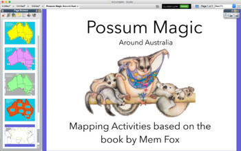
Possum Magic around Australia map - activinspire (PROMETHEAN)
Activities based on the Classic Australian Book POSSUM MAGIC. An interactive Presentation that you can use with a class, small group during literacy Groups or by individuals. You can print off to keep a record of understanding.
-Geograph
-Location
-Direction
Subjects:
Grades:
K - 2nd
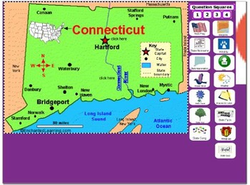
All About Connecticut
PLEASE NOTE: This file needs Notebook Software in order to successfully open. In accordance with TPT policies I am not authorized to issue any refunds.Adobe has discontinued Flash Player and removed all support for Flash in 2020. As a result, Adobe Flash Player is no longer compatible with recent versions of SMART Notebook (version 17 and later for Windows, version 16.2 and later for Mac). Modern versions of web browsers no longer allow Flash objects to be played. Although SMART Notebook autom
Subjects:
Grades:
2nd - 5th
South Carolina Regions and Borders Presentation, Study Guide, and Quiz Pack
Learn about South Carolina's borders and regions with this presentation, study guide, and quiz pack.
This presentation helps students understand where South Carolina is located, and how it is divided. This presentation helps students understand South Carolina's geography, and learn more about each of South Carolina's six regions.
After instructing your students with this presentation, give them the study guide to help them prepare for the South Carolina Borders and Regions quiz.
Please know t
Grades:
3rd
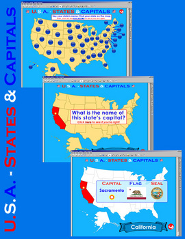
U.S.A. - Interactive States & Capitals w/Matching - SMARTBOARD FILE
The U.S.A. - Interactive States & Capitals is an essential tool for teachers and students. It includes a total of 212 SMARTBOARD pages designed to test your students' mastery of the location of the current 50 states (United States) and the names of their capitals. Help your students master their states and capitals via 3 interactive, easy-to-use, well designed files (States & Capitals, States & Capitals Matching, and Drag & Drop States) geared to make learning a fun experience fo
Grades:
4th - 5th
Remote Learning - Open Books Project Michigan Third Grade - Chapter 1
LINKS FOR REMOTE LEARNING USING GOOGLE SLIDES AND GOOGLE FORMS ARE INCLUDED IN THIS RESOURCEChapter 1 What is special about Michigan?QUESTIONS TO GUIDE INQUIRY:1. What can we use to learn about the geography of Michigan? 2. What natural and human characteristics are significant in Michigan?These are social studies worksheets / assessments to go along with the Michigan Open Book Project for third grade. Each has a vocabulary review with a short answer or constructed response. November 2019 - Adde
Grades:
3rd
Also included in: Third Grade Open Book Project Michigan Resources and Assessments
Landforms and Bodies of water- Geography 4th Grade Bundle
Landforms and Bodies of water- Geography 4th Grade This set includes 2 PDF presentations in landscape format: • Landforms - Tectonic Plates, Mountains, Hills, Plains, Valleys, and Plateaus. • Bodies of Water - Stream, River, Lake, River, Sea, and Ocean. It covers the most important definitions of these two topics, serving as a valuable complement to your teaching material. Designed for 4th-grade students, this resource is suitable for teachers and parents engaged in homeschooling. Each resource
Subjects:
Grades:
4th
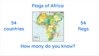
African Flags Easel Activity -- Practice ALL 54 African countries and flags
Here it is, at last! Practice all FIFTY-FOUR African countries and flags, all in one convenient Easel. Perfect for in-class, homework, extra credit, and more!
Subjects:
Grades:
Not Grade Specific
Landforms Match
You will receive a link for a Google Slides Presentation as well as a Powerpoint version. The students will drag the correct picture for the landform name. The presentations can be used on an interactive whiteboard in edit mode. You can have the students complete this in PPT using the edit mode or share the Google Slides Presentation. If using the PPT version, the students will need to save and send their work back to you. You can also easily delete slides for landforms you do not want to use. T
Subjects:
Grades:
K - 5th
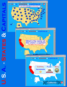
U.S.A. - Interactive States & Capitals - SMARTBOARD FILE
The U.S.A. - Interactive States & Capitals is an essential tool for teachers and students. It includes a total of 108 SMARTBOARD pages designed to test your students' mastery of the location of the current 50 states (United States) and the names of their capitals. Help your students master their states and capitals via 2 interactive, easy-to-use, well designed files (States & Capitals and Drag & Drop States) geared to make learning a fun experience for all.
Includes:
States &
Grades:
4th - 5th
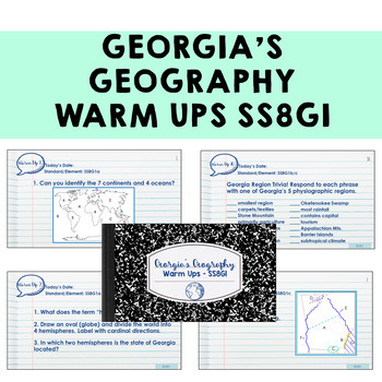
Georgia Geography Warm Ups SS8G1 Bell Ringers
Need a ready-to-use SS8G1 resource to start your Georgia geography lesson? This product has 15 slides of warm up questions covering Georgia's five regions, Georgia's physical features, and other Georgia geography questions! Maps, multiple choice, and charts in included in question types!Each slide is meant to be used at the beginning of each class during your Georgia Geography unit, so you should have 15 days of warm-ups if you don't combine them. Answer keys are included. All slides align with
Subjects:
Grades:
8th
Also included in: 8th Grade Georgia Studies ALL GSE Standards Warm Up BUNDLE
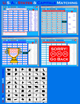
U.S.A. - Interactive States & Capitals Matching - SMARTBOARD FILE
The U.S.A. - Interactive States & Capitals is an essential tool for teachers and students. It includes a total of 108 SMARTBOARD pages designed to test your students' mastery of the location of the current 50 states (United States) and the names of their capitals. Help your students master their states and capitals via 2 interactive, easy-to-use, well designed files (States & Capitals Matching and Drag & Drop States) geared to make learning a fun experience for all.
Includes:
Sta
Grades:
4th - 5th

Geography Jeopardy
This is a powerpoint jeopardy game. Students can pick from the following choices: Continents and Oceans, Geographic Terms, Mountains, Lakes, & Rivers, Latitude & Longitude, and Misc. Vocabulary. There are many graphics with the answers to make learning more meaningful. My fourth graders love this game and ask for it time and time again. It can be used for pre-assessment and/or post assessment.
Subjects:
Grades:
3rd - 5th
All About the Compass Rose Promethean Activinspire Flipchart Lesson
With this flipchart, your students will learn where the Cardinal and Intermediate directions are located on a Compass Rose.
This flipchart is highly interactive with containers, restrictors, interactive games and activities, plus an assessment.
Your students will be sure to love learning directions with this lesson. Enjoy!
Grades:
1st - 5th
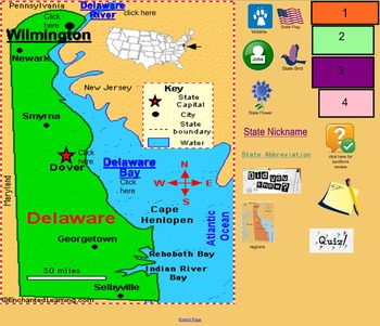
All About Delaware
PLEASE NOTE: This file needs Notebook Software in order to successfully open. In accordance with TPT policies I am not authorized to issue any refunds.This smart board file is an introduction to the state of Delaware. It is geared toward lower elementary, 2nd, 3rd, maybe 4th. It gives a basic overview of the state. Information included: state nickname, state abbreviation, wildlife, state bird, state flag, state flower, regions, landforms, fun facts, jobs, weather, state capital, and things to d
Subjects:
Grades:
2nd - 4th
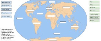
Continents and Oceans Drag and Drop
Continents and Oceans Drag and Drop Activity. Made using Google Drawing and Google Slides. File is used in Google Slides or PowerPoint. For students to use on own or interactive whiteboard, use slide not in present mode. This is a part of another activity: Continents, Oceans, and Maps Drag N Drop with labeling
Subjects:
Grades:
1st - 8th
4th Grade Virginia Studies Exit Tickets
This is a free sample of a product.I developed these as a quick, easy way to get a whole class look at their understanding of a past, present, or upcoming standard (Use past months for review and future to distinguish between who may or may not know the concept). I use these in a few ways (but not limited to): 1) I have a “Parking Lot” in my room for them to put Post-it notes with their answers as they leave the room. 2) The back cover of their planner is white and laminated, so they can write
Subjects:
Grades:
4th
Colonial America Unit: Smart Notebook
**Note: Please see my store for a set of corresponding worksheets, activity sheets, projects, note-taking sheets, etc.)**
This is a .zip file containing three notebook files:
1) 13 colonies introduction: Introduces map, describes each region, links to appropriate BrainPops, introduces vocabulary (12 Slides)
2) Colonial Life: Activities/links including child life, chores, now and then comparison, family life, clothing, school, games (10 slides)
3) Colonial Trades: Introduces trades, introduces
Grades:
2nd - 6th
Continents and Oceans
This interactive slide deck supports the second grade Social Studies Standard for CA. The slides include labeling of the continents, oceans, North American countries, and a reading comprehension worksheet.All the slides are in color and black and white for printing and handing out to your students.Please keep a look out for my deck that will include work with grids, legend/map key, compass rose, and a scale.
Subjects:
Grades:
1st - 3rd
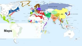
Middle School Social Studies: Introduction to Maps
Interactive Google Slides presentation (using Pear Deck) on the geography topic: Maps. The lesson covers the following ideas:An introduction of maps the purposes of maps types of maps Plotting locations in maps
Grades:
7th
Asian Studies PowerPoint Game
Asian Studies PowerPoint Game
"Asia Word Jumble Game" is a PowerPoint resource that can be used to learn about Asian countries. This 17-page resource contains a cover, brief introduction, 12 slides for different Asian countries, credits and terms of use.
Students are shown the question through the interactive whiteboard or SmartBoard. They try to guess what the country used to be called by unjumbling the given letters. The teacher decides on the number of seconds before he or she reveals th
Grades:
5th - 9th
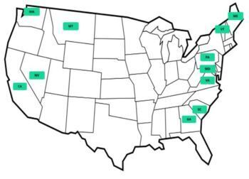
United States Geography - Label the States: Interactive Drag/Drop Worksheet
This is a worksheet that can be used as an assessment or can be worked on as a class. It has all 50 states and a click and drag button next to the state name with the state abbreviation. Students drag the abbreviation button to the United States map to label the states. This works great with in-person and virtual students!
Grades:
Not Grade Specific
Also included in: United States Geography Bundle - U.S. Regions and States
Showing 1-24 of 55 results


