63 results
Geography word walls for Microsoft Word
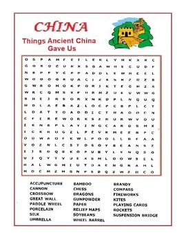
China Word Search Puzzle - Things Ancient China Gave Us - Wordsearch
A word search list of contributions of China to the world. Silk, Umbrellas, Fireworks, Paddleboats, Cannons, Chess, Kites, Rockets, Crossbows, Gun Powder …..etc. People who likes this worksheet also liked the one on Rome and Egypt.
Grades:
4th - 12th
Types:
200+ Premade Geography Terms for Word Wall + Blank Strips to Make Your Own
121+ Geography term for use of a Word Wall + blank strip for extra words. Font: 39 SmoothAbsolute locationAccessibility resourceAcculturationAcid rainActive volcanoAgricultureAltitudeArchipelagoAshAtlasAtmosphereAxisBayBedrockBiosphereBirth rateBoundaryButteCanalCapeCapital goodsCapitalismCardinal directionsCarrying capacityCartographerCinder coneClimateColonialismCommand economyCommercial farming CommunismCompass roseGeographyConiferousConstitutional monarchyConsumerContinentContinental climate
Grades:
6th - 12th
Types:
Also included in: Build A Bundle for Georgianne B
World Geography — Five Themes of Geography Word Wall
Add these creative and aesthetic cards to your vocabulary geography word wall while teaching the five (5) geographical themes. Vocabulary word wall cards assist in vocabulary development. The cards should be used as an instructional tool for teachers and then as a reference for all students, particularly English learners and students with disabilities. Each card consists of a word, definition, and related image: Location: Absolute and Relative LocationPlace: Human Characteristics and Physical Ch
Grades:
5th - 12th
Types:
Also included in: Bundle for Brittany G.
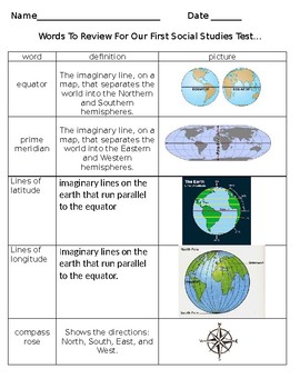
GEOGRAPHY STUDY GUIDE- Maps, Latitude, Longitude, ETC. ETC
This is used as a reference guide for students during out first geography unit. This is also used as a study packet. Finally, I use this on my Social Studies word wall. I simply enlarge the wording, print in color, laminate, and cut out.
COMPLETELY EDITABLE. You can add anything you include and I missed OR remove any items you do not wish to cover. ENJOY!
The following terms are included in this packet:
equator
prime meridian
lines of latitude
lines of longitude
compass rose
globe
map
map ke
Subjects:
Grades:
2nd - 6th
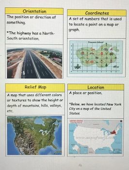
Passport Unit 1 Vocabulary Cards
Vocabulary cards based off the social studies grade 3 Passport curriculum. Cards include definition and picture. Recommended to print in color, and great for laminating and using on word walls! * 8 pages* 31 vocabulary cards
Subjects:
Grades:
2nd - 5th
Types:
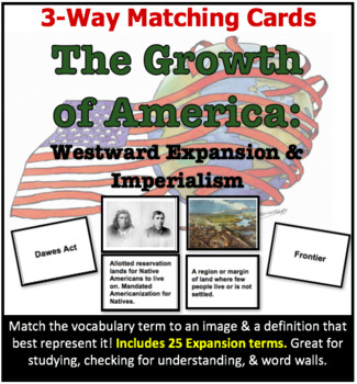
3-Way Matching Vocab Cards - Growth of America: Westward Expansion & Imperialism
Review?Reteach?Study?Check for Understanding?These 3-way matching cards are perfect for everything! Students will match a vocabulary term to its definition, and find the image that best represents the term. This strategy helps students to remember content, practice vocabulary, and make visual connections.EXCELLENT for English Language Learners!This set includes the following 25 vocabulary terms:RancherManifest DestinyMigrationFrontierDawes ActSoddiesReservationHomestead ActTranscontinental Railr
Subjects:
Grades:
8th - 12th
MAP SKILLS Geography Word Wall Bank ~Correlates with virtually ALL curriculum!~
This is a First Grade level geography word bank to be used as a word wall or even individual file folder word walls. The words are used in basically every curriculum at this age level. Perfect for a visual to add as you learn new terminology, very easy to turn into a hands-on long-term project as a mini word-wall. Awesome as it would combine the big three learning styles, Auditory/Visual/Kinisthetic. Good for end-of-year review and for them to keep up with their own "records". Will be creating
Grades:
K - 2nd
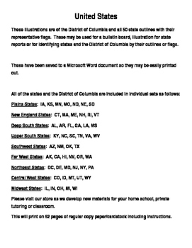
United States Flag Maps
United States Flag Maps
These illustrations are of the District of Columbia and all 50 state outlines with their representative flags. These may be used for a bulletin board, illustration for state reports or for identifying states and the District of Columbia by their outlines and/or flags. They may also be used on the Word Wall to encourage correct spelling.
These have been saved to a Microsoft Word document so they may be easily printed out.
All of the states and the District of Columbia
Subjects:
Grades:
Not Grade Specific
Geography & Social Studies Editable Blank Word Wall Strips
Blank templates for teachers to use to create word walls. Created in Word so that you can easily type in the word and definition, and even add a picture.
Subjects:
Grades:
5th - 12th
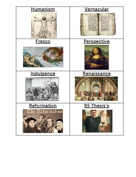
Renaissance and Reformation Vocabulary Flashcards
Vocabulary flashcards are a great tool for studying major terms of each unit. With this source, your students will cut out each vocabulary flashcard. They will then define the term on the BACK of the card making a flashcard to study with. You can then have them either - 1. put them in baggie or paper clip them or 2. hole punch them and put them on a ring or 3. make a word wall***TIPS -- make your copies of this on card stock and it will be a studier card.-- make your copies on a different color
Grades:
7th - 11th
Habitats Display Lettering
Lettering for Habitats display.
Ideal for pre-school, middle school or primary level topic work.
Subjects:
Grades:
1st - 5th
Types:
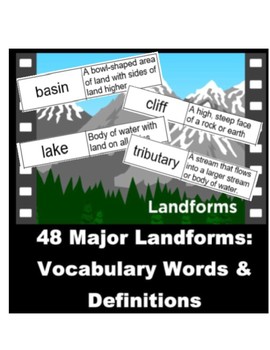
Geography Bulletin Board 48 Land Forms Words and Definitions Word Wall
This is a complete list of 48 major land forms that can be used for a Geography Bulletin Board, a Word Wall, project, or anything you choose!! It includes the words and definitions that can be used for almost anything! And it's FULLY REVISABLE!!Ideas: Make a scene with the land forms on a bulletin board, cut out the words and definitions, attach them to the board and use yarn to connect the word/definition to the correct land form! Or print them out and attach the words on your Word Wall!This co
Subjects:
Grades:
Not Grade Specific
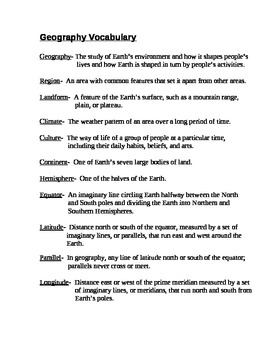
Geography Vocabulary: Glossary of Terms
This is a glossary for a list of terms for a unit on geography. Can be used as a study guide for a vocab quiz, for reference during a unit, or for use in a project. The list contains 25 words and their definitions.
Subjects:
Grades:
5th - 8th
Types:
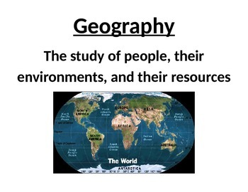
Geography and the Social Studies Word Wall
Colorful word wall of geographic vocabulary terms. Included terms are geography, natural resources, cartography, cartographer, weather, climate, primary source, secondary source, bias, culture, economics, and free enterprise. Each term, its definition, and a picture or symbol representing the term are on their own 8.5 X 11 card.
Subjects:
Grades:
7th - 9th
CCSS:
New England United States Nickname Maps
New England States Nickname Maps
These visual aids are of Connecticut, Massachusetts, Maine, New Hampshire, Rhode Island and Vermont state outlines with their state nickname and an illustration of that nickname. These may be used for a bulletin board, illustration for a state report or for identifying states by their outlines or nickname. Students may derive the meaning of the nicknames through the illustrations.
These may also be posted to the Word Wall for spelling and word recognition.
Th
Grades:
Not Grade Specific
New England United States Flag Maps
New England United States
These illustrations are of Connecticut, Massachusetts, Maine, New Hampshire, Rhode Island, and Vermont state outlines with their state flags. These may be used for a bulletin board, illustration for a state report or for identifying states by their outlines or flags. These also may be posted on the Word Wall for correct spelling and word recognition.
These have been saved to a Microsoft Word document so they may be easily printed out on 8.5 x 11 inch paper/cardstock.
Grades:
Not Grade Specific
WWII Vocabulary Flashcards
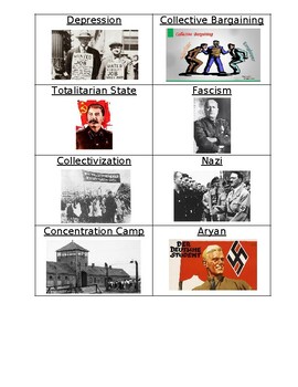
Vocabulary flashcards are a great tool for studying major terms of each unit. With this source, your students will cut out each vocabulary flashcard. They will then define the term on the BACK of the card making a flashcard to study with. You can then have them either - 1. put them in baggie or paper clip them or 2. hole punch them and put them on a ring or 3. make a word wall.***TIPS -- make your copies of this on card stock and it will be a studier card.-- make your copies on a different colo
Grades:
7th - 11th
WWI Vocabulary Flashcards
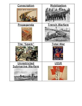
Vocabulary flashcards are a great tool for studying major terms of each unit. With this source, your students will cut out each vocabulary flashcard. They will then define the term on the BACK of the card making a flashcard to study with. You can then have them either - 1. put them in baggie or paper clip them or 2. hole punch them and put them on a ring or 3. make a word wall.***TIPS -- make your copies of this on card stock and it will be a studier card.-- make your copies on a different colo
Grades:
7th - 11th
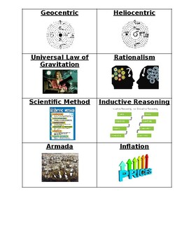
Scientific Revolution, Absolutism, and Enlightenment Vocabulary
Vocabulary flashcards are a great tool for studying major terms of each unit. With this source, your students will cut out each vocabulary flashcard. They will then define the term on the BACK of the card making a flashcard to study with. You can then have them either - 1. put them in baggie or paper clip them or 2. hole punch them and put them on a ring or 3. make a word wall***TIPS -- make your copies of this on card stock and it will be a studier card.-- make your copies on a different color
Grades:
7th - 11th
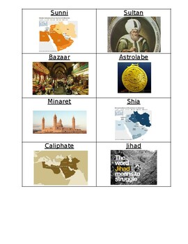
Islam Vocabulary Flashcards
Vocabulary flashcards are a great tool for studying major terms of each unit. With this source, your students will cut out each vocabulary flashcard. They will then define the term on the BACK of the card making a flashcard to study with. You can then have them either - 1. put them in baggie or paper clip them or 2. hole punch them and put them on a ring or 3. make a word wall***TIPS -- make your copies of this on card stock and it will be a studier card.-- make your copies on a different color
Grades:
7th - 10th
Upper South United States Flag Maps
Upper South United States
These illustrations are of Kentucky, North and South Carolina, Tennessee, Virginia and West Virginia state outlines with their state flags. These may be used for a bulletin board, illustration for a state report or for identifying states by their outlines or flags. These also may be posted on the Word Wall for correct spelling and word recognition.
These have been saved to a Microsoft Word document so they may be easily printed out on 8.5 x 11 inch paper/cardstock.
Grades:
Not Grade Specific
Geography Landform Vocabulary Word Wall
Extensive Geography Landform Vocabulary Word Wall IN COLOR! You will find 40+ terms and definitions - sized for your classroom.
This also has a great number of uses.
My students love to use it for Vocabulary Scramble with just placing magnetic tape on the back and placing these on your dry erase board.
Subjects:
Grades:
6th - 9th
Types:
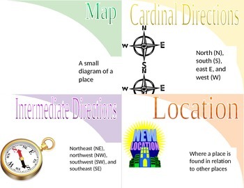
Ohio Geography Word Wall
Word wall words, with word and illustration, for Ohio's geography.
Subjects:
Grades:
3rd - 6th
Types:
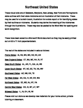
Northeast United States Nickname Maps
Northeast United States Nickname Maps
These visual aids are of Delaware, Maryland, New Jersey, New York and Pennsylvania state outlines with their state nickname and an illustration of that nickname. These may be used for a bulletin board, illustration for a state report or for identifying states by their outlines or nickname. Students may derive the meaning of the nicknames through the illustrations. These may also be posted to the Word Wall for spelling and word recognition.
These have be
Grades:
Not Grade Specific
Showing 1-24 of 63 results


