17 results
Geography assessments for Easel Assessments
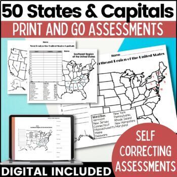
50 States and Capitals Map Activities Print & Digital Resource
Help your students learn and remember the 50 United States and Capitals. This product breaks the 50 states into five regions to make learning easier to manage and teach. United States maps are included with printable assessments, self correcting digital assessment and digital practice worksheets.Update! Easel Digital Version is Included (updated 7/2022)Self Correcting Assessments and Easy to Assign!Save $$$ when you buy as a bundle:The United States and Capitals Geography Review Activities and A
Grades:
3rd - 5th
Types:
Also included in: 50 States and Capitals Bundle Map Print & Digital Resource 50% OFF
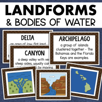
Landforms and Bodies of Water Posters Geography Skills Vocabulary Worksheet
Give your landforms and bodies of water unit a visual boost with this set of illustrated examples! Students will get to SEE what each landform or water body looks like and better understand their features.WHAT YOU WILL GETThis resource contains 24 visuals plus a digital assessment. Each page includes an illustration of the landform or body of water along with the title and definition. Includes:archipelagobaybeachbuttecanalcanyoncavecliffdeltaduneglacierhillislandisthmuslakemesamountainoceanpenin
Grades:
4th - 7th
Also included in: Geography Landforms & Bodies of Water Types of Maps Map Elements Posters
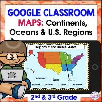
Map Skills US REGIONS CONTINENTS & OCEANS Google Slides & EASEL
Review map skills, 7 continents, identify world oceans & U.S. Regions: Northeast, Southeast, Midwest, Southwest & West using Google Slides. Interactive activities are great for all levels of learning. Use this with your smart board or for individual devices. Includes an Easel Activity! (33 Google Slides, 21 EASEL pages & 60 EASEL Questions)The Google Slide Access link contains 33 slides and 60 Question Easel Assessment:- Continent slides: with labels, without labels & drag the l
Grades:
2nd - 4th
Types:
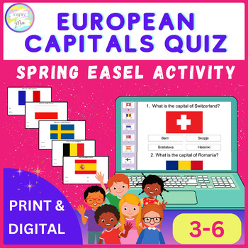
European Capitals Quiz | Spring Easel Activity
Whether used as a standalone activity, a supplement to classroom instruction, or as part of a distance learning curriculum, the European Capitals Quiz Easel Activity offers unparalleled versatility and educational value.Help your students discover Europe's capital cities using this fun and engaging tool, encouraging them to understand and respect different cultures around the world.The countries included in this quiz are: - Switzerland- Romania- Slovenia- Denmark- Spain- Finland- Hungary- Czech
Grades:
3rd - 6th
Types:
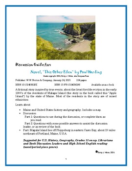
Discussion Guide for the book: "This Other Eden" by Paul Harding
Discussion Guide for: Novel, “This Other Eden” by Paul HardingGuide copyright 2024, Betty J. White, aka Compass RosePublisher: W.W. Norton & Company, January 24, 2023. 224 pages. ISBN-10 132403629X ISBN-13 978-1324036296 Available as an e-bookA fictional story inspired by true events, about the (true) forcible eviction in the early 1900’s of the residents of Malaga Island (the story in the book called this “Apple Island”) by the state of Maine. Most of the residents in the story are of mixe
Subjects:
Grades:
11th - 12th, Higher Education, Adult Education
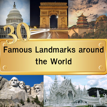
30 Famous Landmarks around the World Quiz with For grade 3-8 and homeschool
In this quiz featuring 30 famous landmarks from around the world, students will examine images of these landmarks and select their answers from a set of four multiple-choice options. Once they've made their choice and clicked "next," the correct answers will be revealed. This quiz serves as an educational tool to expand their understanding of global landmarks. It can be used effectively as either a warm-up activity at the start of the class or as a lesson review.Please note that this digital pro
Grades:
3rd - 8th
Types:
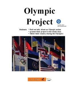
Olympic Project. Countries. Sports. Research. Quiz. Assessment. ESL. EFL. ELA.
Here is a new version for the Tokyo Olympics of my popular Olympic Project.Students in small groups/pairs research an Olympic country and present to the class. They follow their country and report back on medal standings. 16 country sheets all prepared. Use the CIA World Factbook or Stratfor Geography videos as additional resources for research by students. *** Also includes an assessment for student to identify Olympic sports with an online quiz you can assign and get student results. *** Incl
Grades:
4th - 12th, Adult Education
Types:
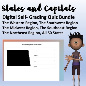
States and Capitals Digital Self-Grading Tests
Digital States and Capitals TestsIncludes 6 Total Multiple-Choice Self-Grading Quizzes/Tests The Southeast RegionThe Northeast RegionThe Western RegionThe Southwest RegionThe Midwest RegionAll 50 States One Question Per SlideEach Slide Features a Silhouette Image of the State Referenced in the QuestionClean and Professional LookPlease See Product Preview
Subjects:
Grades:
3rd - 4th
Types:
Introduction to Mapping and GIS Presentation and Assessment
This presentation introduces key concepts and considerations in mapping and GIS including: the history of mapping and its use todayan introduction to the benefits of data visualization and mapping types of mapsthe science of GIS and leading platforms the differences between raster and vector dataelements of map layerskey considerations when thinking about creating a mapAlso included is an interactive digital Easel assessment that can be used to gauge student learning before or after the lesson.
Grades:
7th - 12th, Higher Education, Adult Education
Also included in: Graphic Design Growing Bundle
Countries & Capitals Of Europe. Geography. Digital. Assessment. ESL. EFL.
This set of lesson materials gives students full practice learning the names of all the cities (capitals) and countries of Europe. 1. Full PPTx of all the capital cities with descriptions. Also, optional video version. Click the icon on the cover page to download seperately. 2. 2 maps for labeling - one for countries. One for cities. 2. What is the capital city matching activity. Answer key. 3. Quizlet study set. Label the map and flashcards. Click the Q icon link to use. 4. Easel Assessment. 1
Subjects:
Grades:
4th - 12th, Higher Education, Adult Education
Types:
Country Project - Research and Present A World Country
20 country profile templates + generic research templates for students to research their own country.Students use to prepare and present on a country of the world. Also includes access to many, many high-quality review Quizlet sets, professionally designed for learning about countries. Click the logo. *** Includes a 25 question assessment for students to identify countries. Assign online and get student results. Preview a read only version here.ESL, EFL, ESOL, prompts, geography, countries, fla
Grades:
Not Grade Specific
Types:
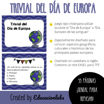
Trivial del Día de Europa / EU Trivial in Spanish
Trivia game to be used during "Europe Day" celebrated on 5 May by the Council of Europe and on 9 May by the European Union. It can also be used as an activity to learn about geographical, historical or cultural aspects of the main European countries.It includes 55 cards in Spanish (English version freebie) and can be used in its printable or digital version. Specially designed to work in cooperative or collaborative groups in a fun and entertaining way.Juego tipo trivial con tarjetas para utiliz
Subjects:
Grades:
4th - 12th, Higher Education, Adult Education
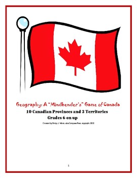
Geography : A "Mindbender's" Game of Canada for grades 6 on up.
A "Mindbender's" Game of Canada:Become an expert about the geography of Canada simply by playing a game! *Includes a map of Canada for reference and to color (colored pencils are recommended). A great way to familiarize your students with the geography of Canada. “Highly engaging!” · 14 questions that can be used at the beginning or end of class sessions (one or two questions at a time) or for an entire class session (all questions), or as a game where the students are divided into small groups
Subjects:
Grades:
7th - 10th
Types:
CCSS:
General Knowledge Quiz on Cities and Countries(EASEL Quiz)
This is an EASEL-enabled quiz which students can do at their own time. It can also be used as a filler activity. There are 10 multiple-choice questions. Students can attempt in their own time and get feedback immediately.Mainly suitable for Grades 7-10, but can be used in other grades as well.Note: This is strictly an EASEL assessment. The PDF file is only the cover page and does not include the questions.I would appreciate if you could provide a review if you purchase this product.By doing so
Grades:
6th - 10th
Types:
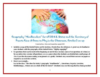
Geography Game for the United States and Next U.S. State, Puerto Rico?
Become an expert about U.S. geography just by playing a game!~Geography “Mindbenders” for all 50 U.S. States and Puerto Rico: A Game to Play in the Classroom~, Grades 5 on up... Created by Betty J. White, aka Compass Rose, copyright 2022. · Includes maps of the United States and Puerto Rico for reference. A great way to familiarize your students (and family) with the geography of the United States. Discussion point: Could Puerto Rico become a state? “Highly engaging for grades 5 on up!” (Yes, th
Subjects:
Grades:
6th - 9th
Types:
CCSS:
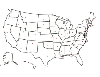
United States Capitals Review Test
This is a multiple choice review quiz for the 50 United States capitals. Total of 50 questions.
Subjects:
Grades:
3rd - 6th
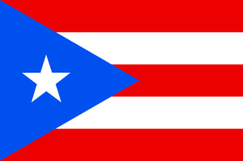
National Flags Quiz
National flags quiz. Identify the country from the flag. Can also be used as a stimulus for research on different countries. Interactive quiz.
Subjects:
Grades:
Not Grade Specific
Types:
Showing 1-17 of 17 results


