172 results
Geography assessments for Easel Activities
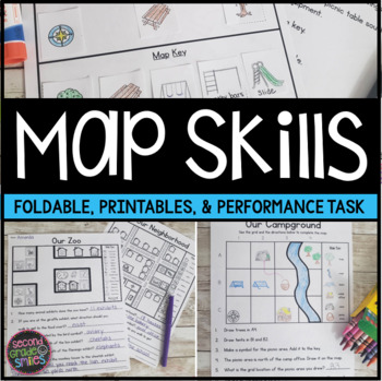
Map Skills Worksheets & Performance Task | Print & Easel
Practice using a map key, a compass rose, and a scale to read, interpret, and create basic maps! These printables are perfect for teaching geography or quick map skills assessments in first grade, second grade, or third grade! The following print-and-go map skills activities are included:Map Vocabulary Foldable: Students cut along the dotted lines to create three flaps and then fold along the solid line. Under each flap, students define the vocabulary word shown on the top of the flap. Words inc
Grades:
1st - 3rd
Types:
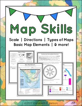
Map Skills Package
This package contains a variety of handouts, worksheets, a lesson idea, and an activity to help teach students map skills such as scale, cardinal and intermediate directions, types of maps (planimetric, thematic, topographic), and basic map elements (legend, title etc.)
Contents
Welcome
Teaching Guide (3 pages)
Latitude, Longitude, and Directions: The Orange Lesson
Latitude Labeling Worksheet Option 1 (label)
Latitude Labeling Worksheet Option 2 (trace)
Cardinal and Intermediate Directions Han
Grades:
3rd - 6th
Types:
Also included in: Map Skills Bundle: activities, worksheets, crafts, posters + more
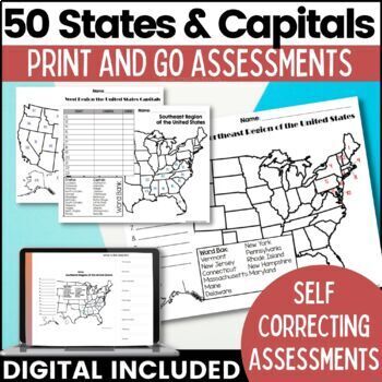
50 States and Capitals Map Activities Print & Digital Resource
Help your students learn and remember the 50 United States and Capitals. This product breaks the 50 states into five regions to make learning easier to manage and teach. United States maps are included with printable assessments, self correcting digital assessment and digital practice worksheets.Update! Easel Digital Version is Included (updated 7/2022)Self Correcting Assessments and Easy to Assign!Save $$$ when you buy as a bundle:The United States and Capitals Geography Review Activities and A
Grades:
3rd - 5th
Types:
Also included in: 50 States and Capitals Bundle Map Print & Digital Resource 50% OFF
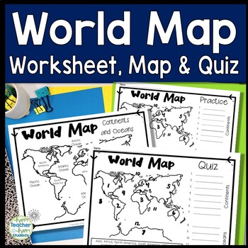
World Map: World Map Quiz (Test) and Map Worksheet | 7 Continents and 5 Oceans
Map of the World Test: Easy-to-read World Map Quiz requires students to locate 7 Continents and 5 Oceans. This resource also includes a world map printable for kids to practice learning the map of the world. Students must label continents and oceans: 7 Continents (Asia, Africa, North America, South America, Antarctica, Australia & Europe) and 5 Oceans (Atlantic, Pacific, Indian, Arctic & Southern). This is an ideal continents and oceans activities for 1st grade, 2nd grade, 3rd grade, 4th
Grades:
2nd - 6th
Types:
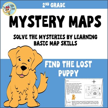
Map Skills 2nd grade, Print and Digital
This fun, engaging map packet is an introduction to map skills. It contains information about a compass rose, map keys, and city blocks. Students will use a compass rose to locate a lost puppy, use information about city blocks to locate a mystery field trip, and illustrate their own maps. Students respond, write their own map questions, and challenge each other. A student formative and answer key is included.
Subjects:
Grades:
2nd - 3rd
Types:
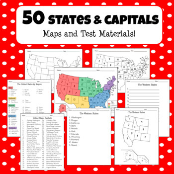
50 States, Regions, and Capitals - Maps and Test Materials + Easel Activities!
**NEW EASEL ACTIVITY OPTION ADDED** This product comes with everything you need for your students to learn about the United States names, regions, and capitals! It includes 55 pages of full USA maps, region maps, capital maps, state lists, and student test papers for region tests, all states tests, and capital tests. This product also now includes an optional Easel activity where your students can type the names of the states or drag and drop the state names by region!
Grades:
5th
Types:
Oil in the Middle East Response Group Activity - Geography
In this response group activity, students learn about the benefits and costs of the Oil in the Middle East. A number of implementation ideas are provided along with the 23 page set to allow students to investigate 5 topics.Content Topics CoveredGeography of the Middle EastThe Processing of OilThe Human ImpactThe Export BusinessWorld ConnectionsAbout this ResourceAll materials are provided and include reading cards for each center, primary sources such as images, charts, and graphs to analyze, a
Grades:
6th - 12th
Types:
Also included in: Modern World History Interactive Lessons Bundle Walking Tours & More
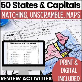
50 States and Capitals Worksheets | Print & Digital Resource
Help your students learn the 50 States and Capitals by region by matching states and capitals, unscrambling, and creating map worksheets. The 50 United States and Capitals Map Activities are print and go easy to use. Update: Digital version is now included! 7/22Click Here to View The United States and Capitals Geography Review Activities and Assessment Bundle (Save 40% when you buy as a bundle)Product includes:Northeast Region Matching States and CapitalsNortheast Region Unscramble States and Ca
Grades:
3rd - 8th
Types:
Also included in: 50 States and Capitals Bundle Map Print & Digital Resource 50% OFF
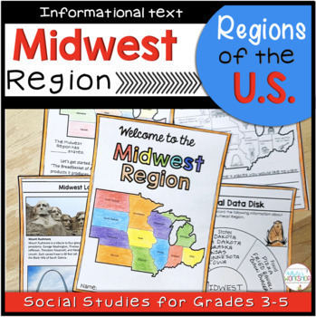
Midwest Region Maps Reading Passages and Comprehension Activities
Your students will enjoy learning what the Midwest Region of the U.S. is known for with this student-friendly printable and digital activity. Students will use maps, text features, and informational text to learn about the landscape, food, climate, natural resources, animals, and the geography of the Midwest Region. This is part of a Regions of the United States Bundle. Bundle and save 20%!This product includes:Cover6 pages of informational text (includes paragraphs, pictures, and maps)Quiz3 Inf
Grades:
3rd - 5th
Types:
Also included in: 5 Regions of the US Maps Reading Passages and Comprehension Activities
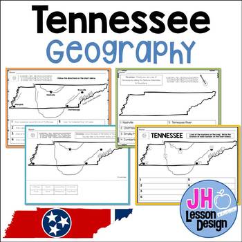
Tennessee Geography: TN Social Studies Standards
This product meets new Tennessee Social Studies Standards. This set includes a variety of ways for your students to practice locating the major cities, rivers, and physical features of Tennessee.Through activities involving labeling, coloring, and cut and paste, students will be able to identify the following features:ChattanoogaNashvilleMemphisKnoxvilleCumberland RiverTennessee RiverMississippi RiverSmoky MountainsTN 3.12 Locate the following cities and physical features in Tennessee:
Subjects:
Grades:
3rd
Types:
Also included in: Geography BUNDLE: TN Social Studies Standards
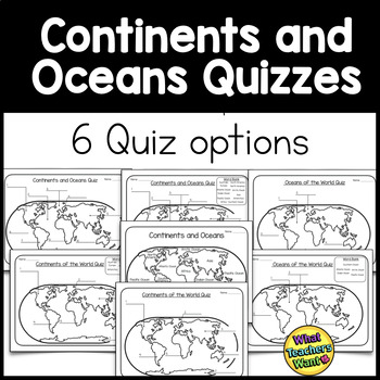
Continents and Oceans Quizzes Distance Learning
There are 6 options for assessment in this product to test your students on the location of continents and oceans.1. Continents and Oceans Quiz with blanks 2. Continents and Oceans Quiz with word bank3. Oceans Quiz with blanks 4. Ocean Quiz with word bank5. Continents Quiz with blanks6. Continents Quiz with word bank**ALSO, included is a handout with continents and oceans marked on the map. Use this as a handout or as a key*****************DO NOT BUY THIS IF YOU HAVE BOUGHT MY CONTINENTS
Grades:
3rd - 5th
Types:
Also included in: Continents and Oceans Bundle
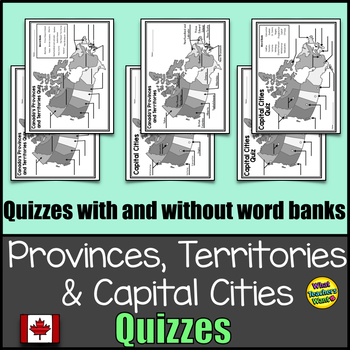
Canada's Provinces, Territories and Capital Cities Map Quizzes Distance Learning
1. Provinces and Territories map labelled (Could be used as a key or handout for studying)2. Province and Territories Quiz - one quiz with a word bank and another without3. Capital Cities labelled (Could be used as a key) 4. Capital Cities Quiz - one quiz with a word bank and another without*****DO NOT BUY THIS IF YOU HAVE ALREADY BOUGHT MY CANADA'S PROVINCES AND TERRITORIES GAMES AND ACTIVITIES. YOU ALREADY HAVE THESE****
Grades:
3rd - 6th
Types:
Also included in: Canada Bundle: Provinces and Territories
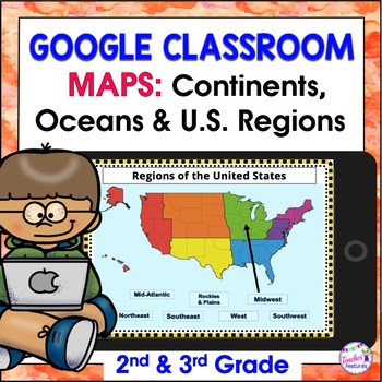
Map Skills US REGIONS CONTINENTS & OCEANS Google Slides & EASEL
Review map skills, 7 continents, identify world oceans & U.S. Regions: Northeast, Southeast, Midwest, Southwest & West using Google Slides. Interactive activities are great for all levels of learning. Use this with your smart board or for individual devices. Includes an Easel Activity! (33 Google Slides, 21 EASEL pages & 60 EASEL Questions)The Google Slide Access link contains 33 slides and 60 Question Easel Assessment:- Continent slides: with labels, without labels & drag the l
Grades:
2nd - 4th
Types:
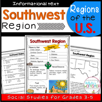
Southwest Region of the United States
Connect your Social Studies curriculum to your ELA block. Your students will enjoy learning about Southwest Region of the U.S. with this student-friendly informational packet. Students will learn about the landscape, food, climate, natural resources, animals, and the geography of the Southwest Region. This is part of a Regions of the United States Bundle. Bundle and Save 20%*PLEASE NOTE: this is not a digital product, but rather a fun alternate to traditional Social Studies practice, especiall
Grades:
3rd - 5th
Types:
Also included in: 5 Regions of the US Maps Reading Passages and Comprehension Activities
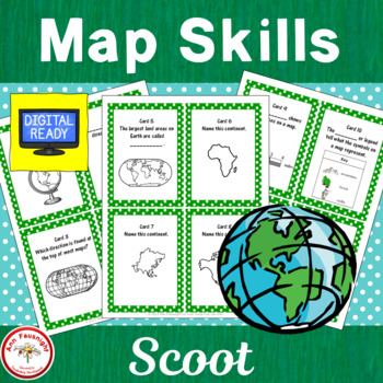
Map Skills Scoot
This game can be used as an assessment of map skills. A page with a map of Canada has been added for cards 19 - 20.1. Cut out each numbered question card and place one randomly on each student’s desk and/or in other locations around the room.2. Copy the answer sheet and give one to each student.3. Each student starts at an assigned spot and answers that question. Be sure students record the response on the answer sheet by the correct space! Everyone cannot start at one!4. On your command of “S
Grades:
3rd - 5th
Types:
Also included in: Map Skills Bundle
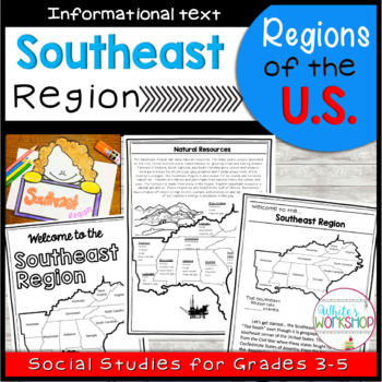
Southeast Region of the United States
Connect your Social Studies curriculum to your ELA block. Your students will enjoy learning about Southeast Region of the U.S. with this student-friendly informational packet. Students will learn about the landscape, food, climate, natural resources, economy, and the geography of the Southeast Region. This is part of a Regions of the United States Bundle. Bundle and Save 20%*PLEASE NOTE: this is not a digital product, but rather a fun alternate to traditional Social Studies practice, especially
Grades:
3rd - 5th
Types:
Also included in: 5 Regions of the US Maps Reading Passages and Comprehension Activities
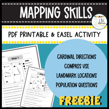
Mapping Skills Worksheets Cardinal Directions Compass Use Easel Activity
Help your students learn more about how to use a map in this free resource. Each page has a specific map that students will need to answer questions about. Students will show understanding of cardinal directions, how to use a compass, locating a landmark, and determining population of specific towns. Teacher keys are provided for easy grading and review with students on a document camera. Each of the maps can be used as a bell ringer, guided practice, or independent class work. This free resourc
Subjects:
Grades:
3rd - 4th
Types:
Geography Pre-assessment/Post-assessment Beginning of Year (Easel Act. Included)
This 80+ question assessment is a great way to evaluate what your students know going into the school year, what they have learned during the first semester as well as what knowledge and skills they have gained by the end of the school year. Why waste precious time creating a thorough and effective test when it has already been done for you? Use this clean and well-put-together assessment over and over again throughout the school year to assess your students.Comes with questions, a student answe
Grades:
6th - 12th, Higher Education, Adult Education
Types:
Also included in: Build A Bundle for Georgianne B
Physical Regions of Canada- Brochure Assignment
This is an assignment for the physical regions of Canada. Students will be tasked to create a brochure discussing a variety of different aspects of the physical region: Location, Landforms, Climate, Wildlife, Vegetation, Industries, Natural Resources, Recreational Activities. This assignment provides students with a graphic organizer to help them record their research. Students should then turn their research into a brochure. An accommodated brochure is also attached to this package. It will hav
Subjects:
Grades:
3rd - 6th
Types:
Also included in: Physical & Political Regions of Canada Assignment/ Activities Bundle
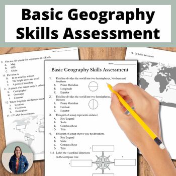
Basic Geography Skills Assessment on Map Skills and Continents and Oceans
This adapted assessment is on basic geography skills, such as labeling a compass rose, continents, and oceans. The geography assessment is 20 questions and can be used to demonstrate student knowledge. This has been adapted to better support English language learners and special education students in social studies classes.This is great for helping all students access grade level content! You can use this as a pre- and post- assessment to demonstrate student growth. An answer key is provided. In
Grades:
8th - 11th
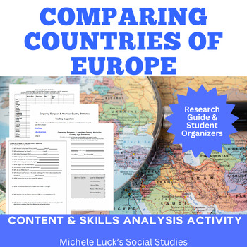
Comparing Country Statistics Geography Europe Research Activity
Want to study the countries of Europe? Looking at current events in your classes? Looking at European statistics? Hoping to find the perfect no-prep resource to practice investigation, comparison and analysis?This activity requires students to gather and compare the important basic statistics of the countries of Europe by creating country signs for classroom centers to travel. Statistics Covered:PopulationLife ExpectanceLiteracy RateGDPMoney/CurrencyLanguagesAt the end, students must use the i
Grades:
6th - 12th, Higher Education
Types:
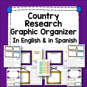
Spanish Speaking Country Research Project
Students complete information about a Spanish speaking country using this attractive template. Two templates are included, one in Spanish and one in English. The template asks for:-Country capital-Currency-Population-Major religions-Tourist sites-A famous person and photo-Interesting facts -Map-Space for a photo-Traditional food-Flag-Weather-Postcard writing extensionAlso included is a rubric and a list of Spanish-speaking countries. Because of the English template, this project is easily adapte
Subjects:
Grades:
7th - 12th
Types:
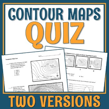
Topographic Map and Contour Map Quiz
VERY QUICK topographic map quiz.This is a quick 5-question quiz that assesses a students' basic ability to read contour maps. Each question provides a map(s) for analysis and then gives multiple choice answers to choose from. This quiz is middle school level.Concepts Included:Contour intervalsElevation differencesRecognizing what a topo map's side profile would beRecognizing the physical features represented on a topo mapThere are two print versions of the quiz provided. They appear to be ide
Subjects:
Grades:
7th - 10th
Types:
NGSS:
MS-ESS2-3
, MS-ESS2-2
Demographic Transition Model A Through Z Worksheet
Recently Updated in May, 2022Thank You for stopping by and I hope you enjoy this assignment. Teaching the demographic transition model is a crucial part of the World Geography and AP Human Geography Course. If you're looking for an assessment, homework, or in class assignment for your students this is it! You have many options with this assignmentStudents will be given an A through Z worksheet with descriptions and need to match the letters to either Stage 1, 2, 3, 4, or 5. You can give the s
Grades:
9th - 12th
Types:
Showing 1-24 of 172 results


