85 results
Geography laboratory pdfs
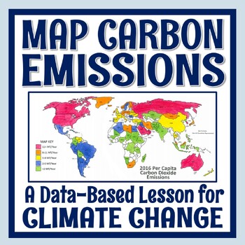
Climate Change Activity Mapping Carbon Emissions NGSS MS-ESS3-5 ESS3-4
Students use real data to color-code a map of 68 countries based on their per capita carbon emissions. In this activity, students will:READ a 1-page article about greenhouse gases, carbon dioxide, what per capita means, and the activity directions. CONSTRUCT a World Map by attaching 2 provided pages (it's easy!).COLOR CODE countries on the map according to their per capita carbon emissions. ANSWER 11 analysis questions focusing on the greenhouse effect, sources of carbon emissions, and how de
Subjects:
Grades:
7th - 10th
Types:
NGSS:
MS-ESS3-5
, MS-ESS3-4
, HS-ESS3-5
, HS-ESS3-4
Also included in: Global Warming Climate Change Activity Bundle NGSS MS-ESS3-5 ESS3-4
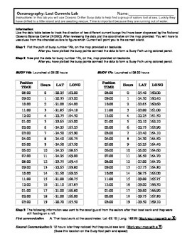
Ocean Currents - Rescue Lab Activity
Ocean Currents - Rescue Lab Activity
This is a fun little Latitude/Longitude Ocean Current activity.
Students plot the path of 2 current buoys to determine the location of a lost ship crew in the Indian Ocean.
This is a crossover science activity - Oceanography - Geography - Graphing.
Usually takes between 30 - 40 minutes.
-----------------------------------------------------------------------------
Other GES Ocean Activity
Ocean Current Introduction
Subjects:
Grades:
6th - 9th
Types:
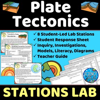
Plate Tectonics Lab Stations - Student-Led Stations Lab
⭐ ⭐ ⭐ ⭐ Student-led lab stations are a great way to get your kids moving and interacting with content in a variety of fun ways! Students will learn, interact, investigate, analyze, and engage with plate tectonics and continental drift! These eight stations focus on plate tectonics, convection currents, sea-floor spreading, continental drift, plate boundaries, types of crust, and tectonic plates. All stations are neatly presented, have easy to understand directions, and require minimal prep from
Subjects:
Grades:
8th - 12th
Types:
NGSS:
MS-ESS2-3
, HS-ESS2-3
, HS-ESS2-1
, MS-ESS2-2
, HS-ESS1-5
Also included in: Earth Science Stations Labs Growing Discount Bundle
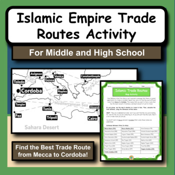
Islamic Empire Trade Routes Map Activity for Social Studies and History
The Islamic Empire is arguably one of the most prominent and influential times of history in the Middle East. As we study the Islamic culture and the rise of the empire, we notice that geography has a huge role in many different aspects.This product gives students the opportunity to practice map and math skills as they try to figure out the best trade route to take from Mecca to Cordoba, Spain. Their goal is to spend the least amount of money possible. The provided maps have all the city locatio
Subjects:
Grades:
5th - 12th
Types:
Also included in: Social Studies and History Large Bundle of 20 Activities and Worksheets
50 Social Studies Labs - Geography History Cultural Studies Economics Government
PREVIEW AVAILABLE!LIKE WHAT YOU SEE? CHECK OUT OTHER STEM RESOURCES IN MY SHOP!FROM THE CREATOR OF 50 STEM LABS & 50 MORE STEM LABS comes this collection of 50 Social Studies Activities for kids. Recommended for grades K to 6 and up! Each one has a snappy title, a brief set of instructions, recommended materials list, and space for notes. These are very adjustable for your classroom, home, or homeschool needs. Do projects for concepts like: Geography, Cultural Studies, Economics, History, G
Grades:
K - 8th
Types:
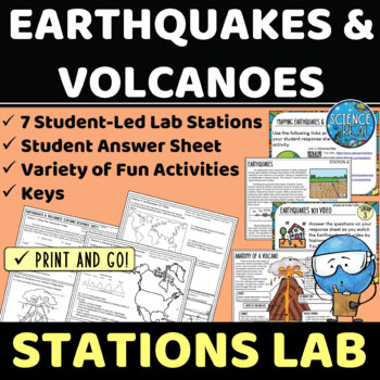
Earthquakes and Volcanoes Lab Stations
⭐ ⭐ ⭐ ⭐ Student-led lab stations are a great way to get your kids moving and interacting with content in a variety of fun and engaging ways! Students will learn, interact, and engage with new content of earthquakes and volcanoes! These seven stations focus on volcanic and earthquake activity, parts of a volcano and earthquake, seismic waves, types of volcanoes, mapping volcanoes and earthquakes, and more! All stations are neatly presented, have easy to understand directions, and require minimal
Subjects:
Grades:
8th - 12th
Types:
NGSS:
MS-ESS3-2
, HS-ESS2-1
Also included in: Earth Science Stations Labs Growing Discount Bundle
Glacial Erosion and Deposition | Digital & Editable Lab Activity | NGSS
In this Google Slides™ digital lab activity, the students will explore the effects of glaciers on landscapes. They will learn about the characteristic erosional and depositional landforms formed by glaciers such as striations on the bedrock, U-shaped valleys, drumlins, glacial erratics, finger lakes, moraines, kettle lakes, and outwash plains. This resource focuses on evidence of glacier erosion and deposition in New York State. This is an interactive lab activity with drag & drop features,
Subjects:
Grades:
8th - 10th
Types:
CCSS:
NGSS:
MS-ESS2-2
, HS-ESS2-2
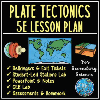
Plate Tectonics 5E Unit Plan - Secondary Science
⭐ ⭐ ⭐ ⭐ Save over 30% off! After completing this 5E Plate Tectonics unit, students will be able to describe and demonstrate how plate tectonics causes major geologic features such as volcanoes, mid-ocean ridges, trenches, and mountains, types of plate boundaries, and how convection currents move and shape the lithosphere. This lesson plan follows the 5E method: Engagement, Exploration, Explanation, Elaboration, and Evaluation, and facilitates student-led learning with minimal prep time. This uni
Subjects:
Grades:
8th - 12th
Types:
NGSS:
HS-ESS2-3
, HS-ESS2-1
, MS-ESS2-2
, HS-ESS1-5
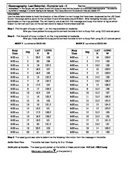
Ocean Currents - Lost Scientist - Current Lab II
Ocean Currents - Lost Scientist - Current Lab II
Updated 5-5-16
This is a fun little Latitude/Longitude Ocean Current activity.
Students plot the path of 2 current buoys to determine the location of a lost scientist in the Pacific Ocean.
This is a crossover science activity - Oceanography - Geography - Graphing.
Usually takes between 30 - 40 minutes.
This activity is similar to "Ocean Currents - Rescue Lab Activity"
-Seen Here-
Subjects:
Grades:
6th - 9th
Types:
Punch Ball Balloon Globe ~ Engineering Geography ~ STEM Challenge
Using a punch ball balloon, can your group create an exact model of a globe showing continents, oceans, and lines of latitude and longitude?
We are all about integration in my STEM building and blending social studies with STEM challenges is a great way to make the topics we study in social studies more engaging and interesting for the students. I am currently working on developing more of these social studies based STEM challenges. This one is focused on map skills and geography.
This engi
Subjects:
Grades:
4th - 6th
Types:
Also included in: American History PERSONALIZED STEM Bundle
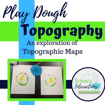
Topographic Maps Lab Activity with play dough
This is an hands-on exploration of topographic maps. Students build a mountain out of play dough, slice the mountain into layers, and use those layers to create a topographic map. This activity is very-engaging and students of all ability levels enjoy it. This lab is especially good for students who struggle with abstract thinking. This lab packet contains teacher demonstration instructions, a student sheet, answer sheet, and recipe for homemade dough.Please check out many of my products in acti
Subjects:
Grades:
4th - 9th
Types:
Mining of the Canadian Shield Mini-Lab
Aligns with the GEORGIA STANDARDS OF EXCELLENCE :SS6G6 – Explain the impact of environmental issues in Canada. b. Explain the causes and effects of the extraction of natural resources on the Canadian Shield (e.g., mining and logging).Students will need to have prior knowledge on the Canadian Shield and what it is. Using an M&M cookie, students will "mine" for different minerals found in the Canadian Shield. As each mineral is worth a different amount, so students become engaged and highly c
Grades:
4th - 8th
Types:
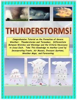
NWS and NOAA Approved! Forecasting: Severe Weather. You're the Weatherman
PROCEEDS BENEFIT "REACH INC."-EMPOWERING ADULTS WITH DISABILITIEShttp://www.reachinc.org-Southern Science Specialists - Chapel Hill, North Carolina-Severe Weather Forecasting: Learn How to Forecast Severe Weather With Real Maps, Data, and NWS Symbols.LOADED WITH COLORFUL IMAGES!Pairs great with the Air Masses and Thunderstorm PowerPoint found on TPT at the link below:CLICK HERE FOR POWERPOINTMore advanced severe weather lab manual and Skew-T tutorial found at the link below:CLICK HERE FOR LAB M
Subjects:
Grades:
4th - 9th, Higher Education, Adult Education
Types:
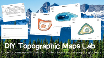
Topographic Maps Lab
Students will label and create a topographic map of their own following by choosing their own variables. They will then swap maps with a partner to solve for gradient and highest point. All of the variables will be created by the students. They will then analyze an image of an onion and figure out which side of it would be "steeper". They will make a claim and provide quantitative evidence to support their claim using a C.E.R chart. Please reach out if you have any questions. Thank You
Subjects:
Grades:
8th - 12th
NGSS:
MS-ESS2-3
, HS-ESS2-3
, HS-ESS2-1
, MS-ESS2-2
, MS-ESS2-1
...
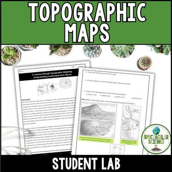
Topographic Maps Lab
Explore the Topographic Maps Lab, a hands-on activity where students construct and interpret contour maps of diverse landforms. Tailored for both middle school and high school students, this interactive lab enhances the learning experience in geography and earth science.Delve into the intricacies of interpreting topographic maps, from grasping contour lines to unraveling elevation changes, as this lab transforms complex concepts into captivating adventures.✎ WHAT'S INCLUDED?Student LabInstructor
Subjects:
Grades:
8th - 11th
Types:
Also included in: Earth Science Full Year Lab Bundle
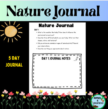
Nature Journal 5 Day Writing Activity
This resource is a five-day nature journal writing activity. This activity gets kids outside observing all of nature's wonders. It is also included in my Earth Day resource. Earth Day ResourceLook for these other related resources in my store:Science and Social Studies Word Wall BundleScience Word Wall and ActivitiesTropical Rainforest Reading Passage and Task Cards BundleTropical Rainforest Task CardsGlobes, Maps, Landforms and Continents BundleGlobes, Maps, Landforms, and Continents Activity C
Subjects:
Grades:
3rd - 8th
Types:
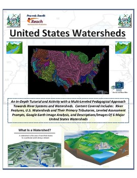
Water: United States Watersheds and Rivers (A Colorful FUSION!)
PROCEEDS BENEFIT "REACH INC."-EMPOWERING ADULTS WITH DISABILITIEShttp://www.reachinc.org-Southern Science Specialists - Chapel Hill, North Carolina-An interactive and very COLORFUL approach to rivers, river systems, and watersheds. This activity allows YOU to CHOOSE to difficulty and pedagogical strategy. May be used across many grades and with students of widely varied ability and past performance levels.Content includes: -River feature diagram (primary river, tributaries, source, floodplain,
Subjects:
Grades:
Not Grade Specific
Types:
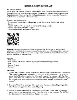
Interior of the Earth (Layers of the Earth) Activity Laboratory
Student activity creating a model for Earth's interior structure. Activity takes 2-3 days and can be used for curricula in Earth Science, Physical Science, and Geology classes. You can easily modify this to fit your grade level!
Subjects:
Grades:
7th - 12th
Types:
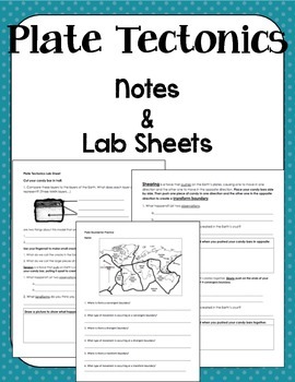
Plate Boundaries Notes and Lab Sheet
This document accompanies my Plate Boundaries powerpoint. It's a basic introduction to the three types of plate boundaries (convergent, divergent, and transform). The packet begins with a map page that accompanies the map in the powerpoint for a Check for Understanding. Then there is a Milky Way Tectonics Lab Sheet and Exit Ticket. This works very well as a packet or can be broken up into separate parts based on preferred teaching style.
Subjects:
Grades:
5th - 9th
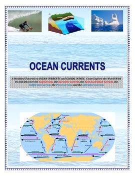
Oceans: Currents and Maps (Come EXPLORE Your World!)
INSERT YOUR NAME HERE! Magellan, Sir Francis Drake, John Cabot, Leif Eriksson, James Cook, Sir Walter Raleigh, Marco Polo, Vasco de Gama, and Columbus.This is a part of the complete ocean current tutorial/lab/activity found below:FULL VERSION CLICK HEREDiscover the Gulf Stream, the Kuroshio Current, the East Australian Current, the California Current, the Peru Current, and the Labrador Current.6 different mapping activities addressing similar content (ocean currents and global winds) in differe
Subjects:
Grades:
4th - 9th, Adult Education
Types:
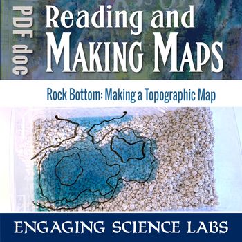
Topographic Maps: Use a Model Landscape to Draw Contour Intervals on Your Map
Quickly shape your own landscape and map its contour intervals. Make your own, accurate topographic maps of mountains, valleys, peninsulas, etc. Easy to reshape and redo and see how different maps correlate to different landscapes. Quicker than most topographical exercises and I love that kids can construct their own without help. Use this to learn and reinforce answers to questions such as:❑ How can we map terrain in three dimensions?❑ What do contour lines on maps show us?❑ What do the differe
Subjects:
Grades:
6th - 8th
Types:
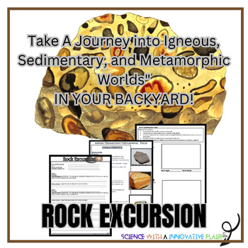
The Rock Cycle- A Journey on the Schools Grounds.
Enhance your unit on the Rock Cycle. Discover and identify three unique rocks from three different locations on your school grounds, document the rocks characteristics, and uncover the secrets the rocks may hold about your school /locations geological surroundings. Objective:To investigate the diversity of rocks found on school grounds.To identify and classify rocks using a online Geology resources(of your choice).Students will identify & document the characteristics and properties of each
Subjects:
Grades:
6th - 12th
Types:
NGSS:
MS-ESS2-3
, MS-ESS2-1
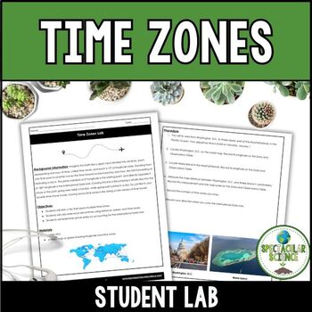
Time Zones Lab
In this Time Zones Lab, students will embark on an exciting journey, planning a trip that takes them across various time zones. As they explore different regions of the world, they will encounter the complexities of time zone boundaries, which play a pivotal role in global travel and communication.Through engaging activities and real-world scenarios, students will learn how to calculate local arrival times based on the distance traveled, the mode of transportation, and the time zones crossed. Th
Subjects:
Grades:
7th - 10th
Types:
Also included in: Earth Science Full Year Lab Bundle
Overfishing AKA "Tragedy of the Commons" - Science in the Environment Lab Series
Why do we have hunting and fishing catch regulations? Why does the government regulate logging and farming industries? The concept of overutilization or “the tragedy of the commons” is fundamental to our modern society. The purpose of this activity is to model resource management, and how regulations and private ownership make resource management possible.
If you like the activity, be sure to rate it!
This is part of a series of activites on Science in the Environment from Mr. Ripps.
This wor
Subjects:
Grades:
7th - 12th, Higher Education, Adult Education
Types:
Showing 1-24 of 85 results


