11 results
Geography laboratories for Google Apps
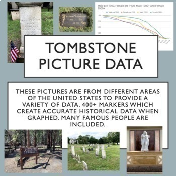
Tombstone Pictures for Cemetery Lab. Human Population Studies
This google drive contains a curated collection of original pictures of 400+ grave markers including some famous people in history, movies and music. I developed this collection over several months of travel. Students will discover historically accurate trends from this data about survivorship for people born before 1900 and after 1900. I have carefully created the collection to provide interest for students and also good data for students to discover trends through inquiry. Use these pictures w
Subjects:
Grades:
9th - 12th, Higher Education
Types:
Also included in: AP Environmental Science Unit 3 Bundle
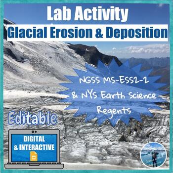
Glacial Erosion and Deposition | Digital & Editable Lab Activity | NGSS
In this Google Slides™ digital lab activity, the students will explore the effects of glaciers on landscapes. They will learn about the characteristic erosional and depositional landforms formed by glaciers such as striations on the bedrock, U-shaped valleys, drumlins, glacial erratics, finger lakes, moraines, kettle lakes, and outwash plains. This resource focuses on evidence of glacier erosion and deposition in New York State. This is an interactive lab activity with drag & drop features,
Subjects:
Grades:
8th - 10th
Types:
CCSS:
NGSS:
MS-ESS2-2
, HS-ESS2-2
Mapping Earth & Landforms Unit Bundle | Printable, Digital & Editable Components
Save 40% by purchasing ALL my Mapping Earth teaching materials!Important Notes:• Download a FREE Unit Bundle to learn more about all my products.• Save $$$ with the Earth Science Complete Curriculum• Save $$$$ with the Integrated Science Complete Curriculum• Consider Daily Lessons as an economical alternative to this unit bundle (see below)• This product includes FREE downloads of ALL future Mapping Earth products.**********************************************************************************
Subjects:
Grades:
3rd - 9th
Types:
NGSS:
4-ESS2-2
4-ESS2-2 Latitude and Longitude Lab Activity | Printable, Digital & Editable
About SNAPs Lab Stations ActivitiesSNAPs Lab Stations Activities require students to use science, math, literacy, problem-solving and engineering skills. They are designed to enhance students' understanding of scientific concepts and help students apply scientific ideas to the real world. Each station activity promotes skills so to develop students into proficient and competent scientific thinkers.SNAPs lab activities have five components:• Science Skills Station to develop science skill profici
Subjects:
Grades:
3rd - 6th
Types:
NGSS:
4-ESS2-2
Also included in: Earth Science Lab Stations Bundle | Printable, Digital & Editable
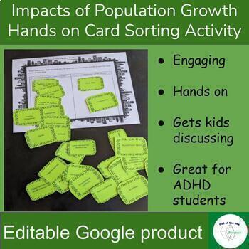
Impacts of Population Growth - Hands on Card Sorting Activity - for High School
Engaging hands on activity to have kids think critically and discuss the impact of human population growth. In part one students will sort a set of cards to determine if the situation described on the card will increase or decrease with the increase of human population. Some of the cards do not have a clear answer. This is intentional to get student’s discussing and backing up their statements with evidence. For example students will decide if the situation card “Number of Plants” would incr
Subjects:
Grades:
8th - 12th
Types:
Mapping Earth Lab Stations Bundle | Printable, Digital & Editable
SAVE 30% by purchasing ALL my Mapping Earth Lab Stations Activities!About SNAPs Lab Stations ActivitiesSNAPs Lab Stations require students to use science, math, literacy, problem-solving and engineering skills. They are designed to enhance students' understanding of scientific concepts and help students apply scientific ideas. Each station activity promotes skills so to develop students into proficient and competent scientific thinkers.SNAPs lab activities have five components:• Science Skills S
Subjects:
Grades:
3rd - 9th
Types:
NGSS:
4-ESS2-2
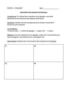
Laboratoire des plaques tectoniques
This is a fun lab activity for grade 7 Immersion geography students.Students will love this hands-on activity using crackers and frosting to better understand plate tectonics. The teacher will demonstrate 4 plate boundaries (divergent, transform, convergent collision, and convergent subduction) and the students will copy them. They will draw their observations, write a hypothesis, identify + analyze their results, and write a conclusion.
Subjects:
Grades:
7th
Types:
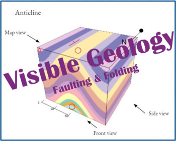
Visible Geology Activity (Faulting & Folding)
In this activity, students will evaluate and then draw geologic structures in order to better understand the structures made in faulting and folding. Students will use the Visible Geology website app to view and manipulate structures before drawing and labeling them themselves. This activity includes a virtual version, a version intended for paper, and an answer key. In the virtual version, students will utilize the Google Docs "Edit" feature to draw the folds and faults.Structures covered: anti
Subjects:
Grades:
7th - 12th
Types:
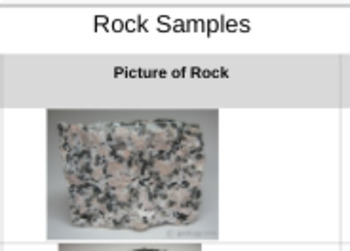
Digital Rock Classification Lab
Well, Covid... So I adapted an awesome rock classification lab into a digital one! The students still love guessing and checking, while using their newly found knowledge. ANSWERS***1 Granite rock sample 2 Basalt rock sample 3 Obsidian rock sample4 Sandstone rock sample5 Limestone rock sample6 Shale rock sample 7 Gneiss rock sample 8 Marble rock sample 9 Slate rock sample 10 Quarts rock sample
Subjects:
Grades:
4th - 12th
Types:
NGSS:
MS-ESS2-3
, MS-ESS2-1
Canada's Oil Industry CGC1D
This digital unit covers parts of the grade 9 Academic Geography Ontario Strand C revised 2018 (Managing Canada’s Resources)*Please note this product is included in the English C Strand Unit*What’s included: ☑ Link to the easy-to-follow Google slides worksheets designed for online and in-class learning. ☑ Answer key included with every worksheet and test.☑ Rubrics included for all culminating assignments. Topics covered: Forms of oilOil extraction + refining Oil deposits in CanadaThe economic c
Subjects:
Grades:
7th - 10th
Types:
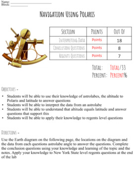
Navigating Using Polaris - The Astrolabe Lab
A virtual astrolabe lab that can be used to reinforce the same concepts without making a paper astrolabe. Students must use a diagram of Earth with various locations and latitudes in combination with interpreting the angle on an astrolabe to answer questions on the relationship between latitude and the altitude to Polaris ***New York State regents level questions are included at the end that allow students practice of applying their knowledge of the relationship between the altitude to Polaris a
Subjects:
Grades:
7th - 12th
Types:
Showing 1-11 of 11 results


