306 results
Geography clip art pdfs
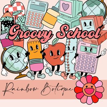
Groovy School Clipart bundle, boho school clip art, bulletin board, commercial
A cute, hand-drawn clipart set with a groovy school theme.Consists of over 50 individual, high definition png files with a transparent background.Also includes black-and-white versions of all images, suitable for coloring etc.For personal and commercial use.
Subjects:
Grades:
PreK - 12th
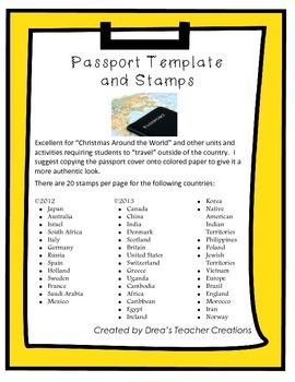
"Around the World" Passport Template and Stamps
This set jam-packed with a template for a passport and destination stamps for 40 countries. More stamps here.
The passport template includes the outer cover and inside cover with your choice of 2 reflections prompts to be completed at the end of your "travels".
There are 20 stamps per page for the following countries in full color:
• Japan
• Australia
• Israel
• South Africa
• Italy
• Germany
• Russia
• Spain
• Holland
• Sweden
• France
• Saudi Arabia
• Mexico.
• Canada
• China
• India
• Denm
Grades:
1st - 12th
CCSS:
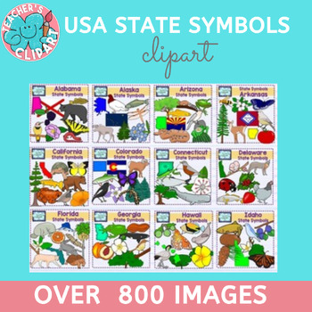
USA state symbols clipart BUNDLE Social Studies Clip art more than 800 images
Introducing our extraordinary USA State Symbols Clipart Bundle, a treasure trove of approximately 800 line art and colored graphics representing the unique symbols of all 50 states in the United States. Each graphic boasts a remarkable 300 dpi resolution, ensuring exceptional quality and detail.This comprehensive bundle is a valuable resource for educators, designers, and anyone with a passion for exploring the diverse cultural and natural heritage of the United States. Whether you're creating e
Subjects:
Grades:
Not Grade Specific
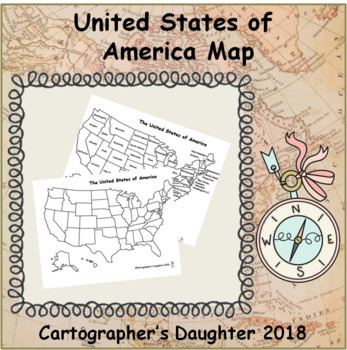
The United States of America Map
Blank and labeled map of The United States
Subjects:
Grades:
Not Grade Specific
Types:
Christmas Around The World - 20 Countries - Quiz - Christmas Poems
Christmas Around The World - Christmas Quiz - Christmas Poems - Christmas traditions ( United States, Canada, Alaska, Brazil, Argentina, Venezuela, China, Russia, Japan, Italy, Spain, France, Greece, Bulgaria, Finland, Germany, United Kingdom, Ukraine, Australia, Christmas in Africa)
This is a set of 90 different pages- PDF
- Christmas Quiz
- Symbols of Christmas
- Christmas Poems
- Frames
- Writing paper
- Clip Art
- Maps
- Christmas traditions
United States
Canada
Alaska
Brazil
Argentina
Vene
Grades:
PreK - 5th
Types:
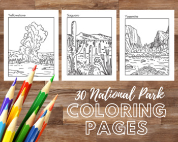
30 National Park Printable Coloring Pages 8.5x11
National Park Coloring Pages, Adult coloring book printable, Coloring pages for kids, Animal art, Landscape art, Plant and flower art, Animal print, PDF DownloadThe classic American landscapes, animals and plants of 30 National Parks are celebrated in these coloring pages. Perfect accompaniment to American geography or art lessons. Could also be used as minimalist classroom decor. These are pages from my "National Parks Journal AND Coloring Book" available in print on amazon: https://www.amazon.
Subjects:
Grades:
Not Grade Specific
Types:
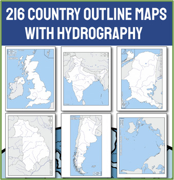
Ultimate Collection of 216 Political Outline Country Maps with Names
Unlock the world in your classroom with our Ultimate Collection of 216 Political Outline Country Maps! With this comprehensive set of political outline maps, the world is literally at your students' fingertips. This meticulously curated set includes every sovereign nation, each clearly outlined and labeled with its country name, making it an indispensable resource for any educator needing a map. CHECK OUT THE PREVIEW for 50 ideas for using these maps in your next lesson!Why Choose This Country M
Grades:
Not Grade Specific
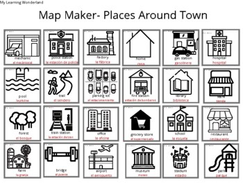
Map Maker- Places Around Town English & Spanish
Students can use the black and white clip art to be a cartographer and create their own unique maps. Maps come labeled in English, Spanish, and English and Spanish. Great for ELL learners, bilingual schools, and early childhood teachers looking to make maps and teach map skills or where we live units. Great for Spanish teachers looking to use as a flash card or with the snipping tool.
Subjects:
Grades:
PreK - 8th
Types:
Continental United States Map Pack
This map pack contains 4 maps of the continental United States for your students to explore! These maps are colorful and helpful in engaging students in discovering various aspects of the continental United States. Maps Included:Native American Tribe LocationsPrimary Natural DisastersNatural ResourcesPhysical FeaturesUse these map to compare and contrast, explore settlement patterns, plan an adventure, or so much more! The possibilities are endless!
Grades:
Not Grade Specific
Types:
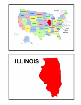
Identifying the 50 States - Visual-Spatial, Size, and Shape Practice
This is a great PDF for Visual-Spatial, Size, and Shape Practice and Refinement of the 50 states. It provides each state individually on a map of the United States, as well as the shape and name of each state. This is perfect for overheads and a great PDF to download to your iBooks to review and identify the geography of the United States.
Subjects:
Grades:
PreK - 12th, Higher Education, Adult Education
Types:
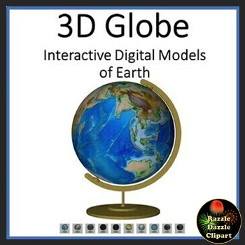
Earth Animated Teaching Globe 3D Models for Whiteboards or Smartboards
Earth Animated Teaching Globe in 3D pdf. Great Earth Day activity! This is a 3D digital model pdf file, where you can manipulate the globe to move and rotate in 3 dimensions with the touch of a mouse! Completely interactive! Great to put up on a Smartboard, Promethean Board, or on a touchscreen computer. Better than a real globe, because you can change this virtual globe to show different views...physical, political, night lights, even Pangaea. Fun way to learn to about our planet. Kids will hav
Subjects:
Grades:
Not Grade Specific
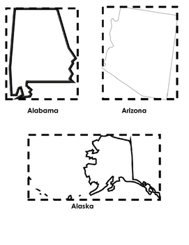
"Me on the Map" Booklet (50 States Cut-Outs)
This file is a bonus component of the "Me on the Map" Booklet (which is available for FREE in the Spot for Learning store). There is a picture of all other 49 states in the country, since Ohio was included in the original product.
Subjects:
Grades:
K - 2nd
Types:
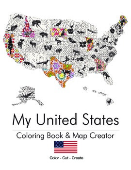
My United States. Black & White Coloring Book & Map Creator.
My United States is a coloring book for adults & children alike.
Children can work with their teacher or parent to cut out each of the pages once colored and assemble their unique map. The finished coloring book is a fun educational tool to help children understand their country, including what animal, flower or object is represented by that state. Patterns range from beginner to intermediate. This is an excellent tool for both geography teachers and parents.
End Map Dimensions: 30" x 25"
Subjects:
Grades:
K - 9th
Types:
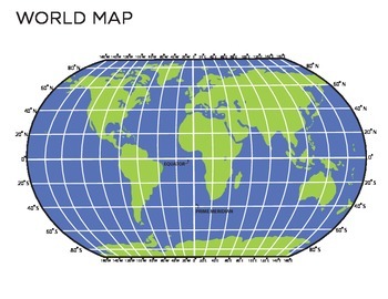
World Map
This is a map of the world which you could use multiple ways. There is a completely blank map which you could have the students fill in and there is also one with longitude and latitude printed on it. This is an easy way to show students a visual of longitude, latitude and oceans! You could use this to teach continents and even give it as a quiz for students to fill in. Also can be blown up for poster size!
Grades:
3rd - 7th
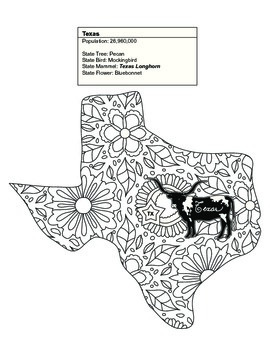
Black & White Texas Map Coloring Sheet. Contains State Facts
This Texas coloring sheet is part of a set of 20 of the United States. Some of the sets contain between 1 and 7 states.
Once colored children can cut out each of the pages and assemble their unique map. The finished coloring book is a fun educational tool to help children understand their country, including what animal, flower or object is represented by that state. Patterns range from beginner to intermediate. This is an excellent tool for geography teachers and parents alike.
Thank you for
Subjects:
Grades:
K - 9th
Types:
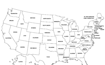
United States Map
United States Map.
FYI - For some reason the bottom is cut off a little.
Grades:
PreK - 12th, Higher Education, Adult Education
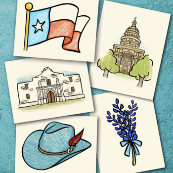
Texas Coloring Sheet Pack
Enjoy 8 different coloring sheets that depict Texas culture and history!Photos include:• The Alamo• Texas Flag• Horse• State Capital• Cowboy Boots• "Howdy"• Bluebonnets • Cowboy Hat
Grades:
Not Grade Specific
Types:
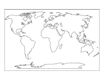
9-piece printable world map for the wall
If you have ever wanted to print a world map for your wall, or a big map for students to color, this map prints on 9 sheets of paper (3x3) to give a final map of 21x30 inches. It has dashed lines to show you where to cut and solid edges around the border. The files is 10 pages total, and the last page is the original map that I expanded. The world map is royalty-free and downloaded from Niche Gallery. I love the huge maps from Owl and Mouse maps (check them out!) but my printer does not print to
Grades:
Not Grade Specific
Types:
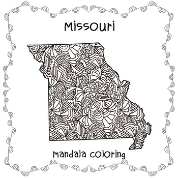
Missouri Map Mandala, Missouri USA Map Zentangle Coloring Adults,States America
Missouri Map Mandala, Missouri USA Map Zentangle Coloring Adults,States AmericaEmbark on a creative journey with our 'Missouri Map Mandala Coloring' page, a captivating addition to our exclusive 'USA Map Zentangle Coloring for Adults' collection. Immerse yourself in the charm of the Show Me State as its unique map becomes a canvas for your artistic expression, intricately adorned with mesmerizing Zentangle patterns.Beyond mere coloring, this sheet offers a mindful exploration of Missouri's diver
Grades:
Not Grade Specific
Stones, Rocks, Bulletin Board Letters, Geology, Geography, Landforms A-Z Decor
Stones, Rocks, Bulletin Board Letters,DecorHas A to Z letters, a to z letters, 0 to 9 numbers,several punctuation marks and symbols.Each letter is on an a4 size sheet with a beautifulpattern.To print 2 or more letters on one page, please chooseprint multiple pages, option in your printer.Great for a quick bulletin board, door display andmore.
Subjects:
Grades:
Not Grade Specific
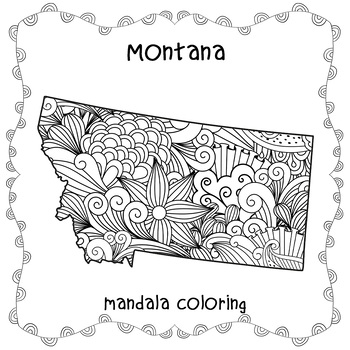
MONTANA Map Mandala, MONTANA USA Map Zentangle Coloring Adults,States of America
MONTANA Map Mandala, MONTANA USA Map Zentangle Coloring Adults,States of AmericaEmbark on a creative journey with our 'Montana Map Mandala Coloring' page, a captivating addition to our exclusive 'USA Map Zentangle Coloring for Adults' collection. Immerse yourself in the rugged beauty of Montana as its distinctive map becomes a canvas for your artistic expression, intricately adorned with mesmerizing Zentangle patterns.This coloring sheet offers more than just a creative outlet; it's a mindful ex
Grades:
Not Grade Specific
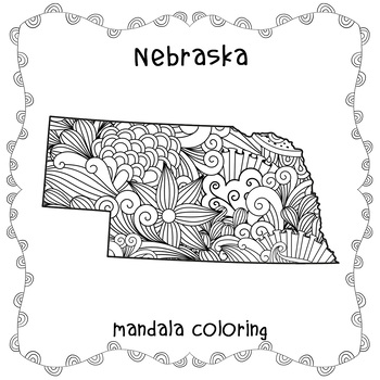
NEBRASKA Map Mandala, NEBRASKA USA Map Zentangle Coloring Adults, States America
NEBRASKA Map Mandala, NEBRASKA USA Map Zentangle Coloring Adults, States AmericaEmbark on a creative journey with our 'Nebraska Map Mandala Coloring' page, an enchanting addition to our exclusive 'USA Map Zentangle Coloring for Adults' collection. Immerse yourself in the heartland charm of Nebraska as its unique map becomes a canvas for your artistic expression, intricately adorned with mesmerizing Zentangle patterns.More than just a coloring activity, this sheet offers a mindful exploration of
Grades:
Not Grade Specific
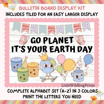
Earth Day Bulletin Board Kit, Groovy Retro Planet Earth Bulletin Kit, Recycle
Earth Day Bulletin Board Kit, Groovy Retro Planet Earth Bulletin Kit, Recycle Bulletin, April BulletinWHAT'S INCLUDED★ Banner ★ Pictures (in two sizes; 1 picture per page and split pictures over multiple pages for you to piece together)★ Letters (26 letters in 3 colours and in two sizes each)The photo mock ups show one way of setting up the display but you can set it up however you wish.You can mix and match picture sizes and print out multiple times. Print letters to create a unique display wit
Subjects:
Grades:
Not Grade Specific
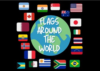
Flags Around The World- Jumbo Cards
Flags Around The World!!These Jumbo Cards contain 87 countries! Perfect for social studies and fun learning activities!!
Grades:
PreK - 12th, Higher Education, Adult Education
Showing 1-24 of 306 results


