Islamic Empire Trade Routes Map Activity for Social Studies and History
- PDF
What educators are saying
Also included in
- The study of social studies and history has so many opportunities to engage students in the content. This product provides a bundle of 20 activities, packets, worksheets, etc. that you can use throughout the year in your social studies and/or history classes! These activities are designed for middlePrice $42.00Original Price $51.50Save $9.50
- This massive bundle includes thousands of pages of material and it gives you freedom to not have to worry about prepping for much of the school year. These engaging activities encourage students to learn and grow their skills in critical thinking and mastery. Each activity is associated with eitherPrice $575.00Original Price $725.60Save $150.60
Description
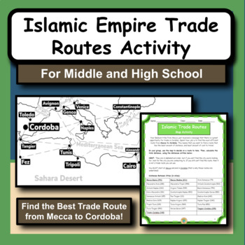
The Islamic Empire is arguably one of the most prominent and influential times of history in the Middle East. As we study the Islamic culture and the rise of the empire, we notice that geography has a huge role in many different aspects.
This product gives students the opportunity to practice map and math skills as they try to figure out the best trade route to take from Mecca to Cordoba, Spain. Their goal is to spend the least amount of money possible. The provided maps have all the city locations and trade routes drawn for them, they just have to choose the way they want to take.
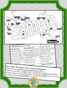
They will add up the miles they traveled and divide to figure out how much it would cost to travel on their route. They also have additional costs for traveling across rivers, seas or mountains.
Finally, they will total up their cost and will compare with the other groups to see who had the best route. They will also answer several analysis questions that discuss the activity and what they learned.
I typically use this activity in our Islamic Empire unit in my World History class, but it can also be used in a math class as a cross-curricular activity with problem solving and basic math. I have used this activity in both middle and high school. My students really enjoy the problem-solving aspect to this activity!
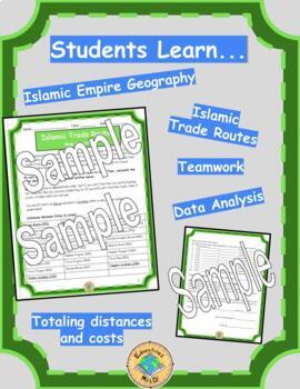
Students learn geography, math, planning, problem-solving, history and collaboration.
To do this activity, students will need:
- Pencil (for each student)
- Copy of “Islamic Trade Routes” packet for each student (INCLUDED)
- Optional: Calculator
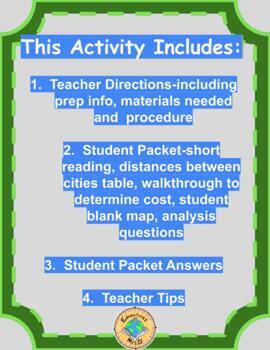
This product includes:
- Teacher Directions-including prep info and materials needed
- Teacher procedure
- Student Packet-short reading, distances between cities table, walk through to determine cost, student blank map, analysis questions
- Student Packet Answers
- Teacher Tips
Check out my other social studies and history resources!
Join my email list here to learn about ways to encourage students to experience the content!
Follow my store to be notified when new products are added!
You can also follow me on Pinterest, Instagram, Facebook and YouTube!
If you have any questions, feel free to email me at edventureswithmrsd@gmail.com.
Thank you!

