832 results
Geography laboratory activboard activities
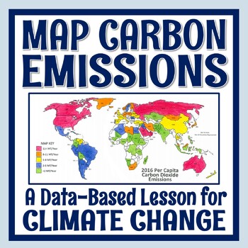
Climate Change Activity Mapping Carbon Emissions NGSS MS-ESS3-5 ESS3-4
Students use real data to color-code a map of 68 countries based on their per capita carbon emissions. In this activity, students will:READ a 1-page article about greenhouse gases, carbon dioxide, what per capita means, and the activity directions. CONSTRUCT a World Map by attaching 2 provided pages (it's easy!).COLOR CODE countries on the map according to their per capita carbon emissions. ANSWER 11 analysis questions focusing on the greenhouse effect, sources of carbon emissions, and how de
Subjects:
Grades:
7th - 10th
Types:
NGSS:
MS-ESS3-5
, MS-ESS3-4
, HS-ESS3-5
, HS-ESS3-4
Also included in: Global Warming Climate Change Activity Bundle NGSS MS-ESS3-5 ESS3-4
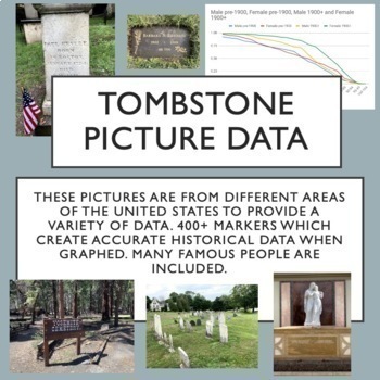
Tombstone Pictures for Cemetery Lab. Human Population Studies
This google drive contains a curated collection of original pictures of 400+ grave markers including some famous people in history, movies and music. I developed this collection over several months of travel. Students will discover historically accurate trends from this data about survivorship for people born before 1900 and after 1900. I have carefully created the collection to provide interest for students and also good data for students to discover trends through inquiry. Use these pictures w
Subjects:
Grades:
9th - 12th, Higher Education
Types:
Also included in: AP Environmental Science Unit 3 Bundle
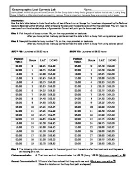
Ocean Currents - Rescue Lab Activity
Ocean Currents - Rescue Lab Activity
This is a fun little Latitude/Longitude Ocean Current activity.
Students plot the path of 2 current buoys to determine the location of a lost ship crew in the Indian Ocean.
This is a crossover science activity - Oceanography - Geography - Graphing.
Usually takes between 30 - 40 minutes.
-----------------------------------------------------------------------------
Other GES Ocean Activity
Ocean Current Introduction
Subjects:
Grades:
6th - 9th
Types:
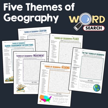
5 Themes of Geography, Terms Word Search Puzzle Activity Bundle Worksheets
This word search puzzle worksheet is perfect if you need something to keep your students occupied. This worksheet will help your students learn more and improve their vocabulary.After searching for the words, your students should be able to solve the secret message by filling out the blanks with the unused letters. The words are hidden in various directions - horizontally across or backward, vertically up or down, diagonally up, down or backward. Some words will also overlap or intersect, which
Grades:
4th - 7th
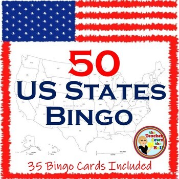
US Bingo I Know the 50 States Group Activity w/ 35 Bingo Cards!
Need a fun way to review the 50 States? Print the Bingo Cards, and show the slides!! Students will see: the shape of each state, where it is located in the US, its state flag, and its state motto.Their job is to identify it and cover it on their Bingo Cards! A great review and there are enough slides to play at least twice. Then play a game where students race each other to identify the states. Both games are great reviews of our US states! **************************************************
Grades:
4th - 7th
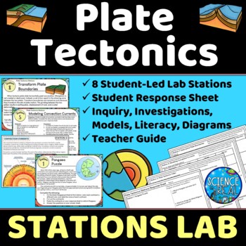
Plate Tectonics Lab Stations - Student-Led Stations Lab
⭐ ⭐ ⭐ ⭐ Student-led lab stations are a great way to get your kids moving and interacting with content in a variety of fun ways! Students will learn, interact, investigate, analyze, and engage with plate tectonics and continental drift! These eight stations focus on plate tectonics, convection currents, sea-floor spreading, continental drift, plate boundaries, types of crust, and tectonic plates. All stations are neatly presented, have easy to understand directions, and require minimal prep from
Subjects:
Grades:
8th - 12th
Types:
NGSS:
MS-ESS2-3
, HS-ESS2-3
, HS-ESS2-1
, MS-ESS2-2
, HS-ESS1-5
Also included in: Earth Science Stations Labs Growing Discount Bundle
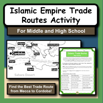
Islamic Empire Trade Routes Map Activity for Social Studies and History
The Islamic Empire is arguably one of the most prominent and influential times of history in the Middle East. As we study the Islamic culture and the rise of the empire, we notice that geography has a huge role in many different aspects.This product gives students the opportunity to practice map and math skills as they try to figure out the best trade route to take from Mecca to Cordoba, Spain. Their goal is to spend the least amount of money possible. The provided maps have all the city locatio
Subjects:
Grades:
5th - 12th
Types:
Also included in: Social Studies and History Large Bundle of 20 Activities and Worksheets
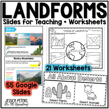
Landforms | Mountains Valleys Deserts Coasts Activities, Slides & Worksheets
Landforms Activities including Flip Books, Google Slides lessons, and worksheets to learn Mountains, Valleys, Deserts, and Coasts - This is an interactive Google Slides Lesson (55 slides) with 21 accompanying B&W printable worksheet activities. Google Slides include the following:14 slides to teach Mountains8 slides to teach Valleys13 slides to teach Deserts15 slides to teach CoastsGraphic Organizer to Show All LandformsThis product includes a Google Slides file that can be used for teaching
Subjects:
Grades:
K - 2nd
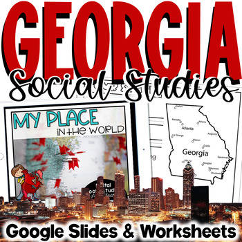
Georgia Social Studies | Me on the Map | City, County, State, Country, Continent
My Place on the Map - lessons for identifying and locating city, county, state, country, and continent - This geography unit is an interactive Google Slides Presentation (76 slides) with 18 accompanying B&W printable worksheet activities.This product is ideal for the early grades. This product includes an interactive Google Slides file that requires no extra materials for students to complete, though I have included black & white printable worksheets to go along with the slides. I plan t
Subjects:
Grades:
K - 3rd
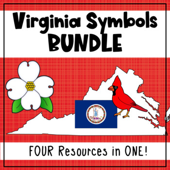
Virginia State Symbols Bundle - Cardinal, Dogwood, Capitol, Flag (SOL 1.12)
Teach your first grade students about Virginia's state symbols: the Virginia capitol building, dogwood (state flower), cardinal (state bird), and the Virginia state flag! This bundle includes printable posters with images and vocabulary, fill-in-the-blank activities, student books, a graphing activity, and an I Spy interactive board activity. 1.12 The student will recognize the symbols and traditional practices that honor the Commonwealth of Virginia by a. identifying the Virginia flag, sta
Grades:
1st
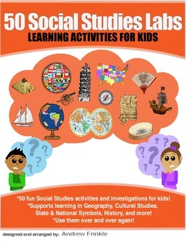
50 Social Studies Labs - Geography History Cultural Studies Economics Government
PREVIEW AVAILABLE!LIKE WHAT YOU SEE? CHECK OUT OTHER STEM RESOURCES IN MY SHOP!FROM THE CREATOR OF 50 STEM LABS & 50 MORE STEM LABS comes this collection of 50 Social Studies Activities for kids. Recommended for grades K to 6 and up! Each one has a snappy title, a brief set of instructions, recommended materials list, and space for notes. These are very adjustable for your classroom, home, or homeschool needs. Do projects for concepts like: Geography, Cultural Studies, Economics, History, G
Grades:
K - 8th
Types:
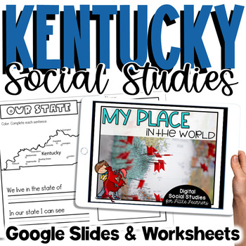
Kentucky Social Studies | Me On the Map |City, County, State, Country, Continent
My Place on the Map - lessons for identifying and locating city, county, state, country, and continent - This is an interactive Google Slides Presentation (76 slides) with 18 accompanying B&W printable worksheet activities.This product is ideal for the early grades. This product includes an interactive Google Slides file that requires no extra materials for students to complete, though I have included black & white printable worksheets to go along with the slides. I plan to teach these l
Subjects:
Grades:
K - 3rd
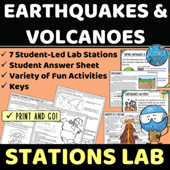
Earthquakes and Volcanoes Lab Stations
⭐ ⭐ ⭐ ⭐ Student-led lab stations are a great way to get your kids moving and interacting with content in a variety of fun and engaging ways! Students will learn, interact, and engage with new content of earthquakes and volcanoes! These seven stations focus on volcanic and earthquake activity, parts of a volcano and earthquake, seismic waves, types of volcanoes, mapping volcanoes and earthquakes, and more! All stations are neatly presented, have easy to understand directions, and require minimal
Subjects:
Grades:
8th - 12th
Types:
NGSS:
MS-ESS3-2
, HS-ESS2-1
Also included in: Earth Science Stations Labs Growing Discount Bundle
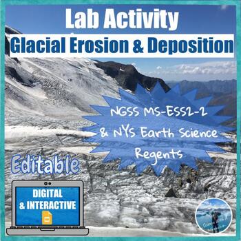
Glacial Erosion and Deposition | Digital & Editable Lab Activity | NGSS
In this Google Slides™ digital lab activity, the students will explore the effects of glaciers on landscapes. They will learn about the characteristic erosional and depositional landforms formed by glaciers such as striations on the bedrock, U-shaped valleys, drumlins, glacial erratics, finger lakes, moraines, kettle lakes, and outwash plains. This resource focuses on evidence of glacier erosion and deposition in New York State. This is an interactive lab activity with drag & drop features,
Subjects:
Grades:
8th - 10th
Types:
CCSS:
NGSS:
MS-ESS2-2
, HS-ESS2-2
Mapping Earth & Landforms Unit Bundle | Printable, Digital & Editable Components
Save 40% by purchasing ALL my Mapping Earth teaching materials!Important Notes:• Download a FREE Unit Bundle to learn more about all my products.• Save $$$ with the Earth Science Complete Curriculum• Save $$$$ with the Integrated Science Complete Curriculum• Consider Daily Lessons as an economical alternative to this unit bundle (see below)• This product includes FREE downloads of ALL future Mapping Earth products.**********************************************************************************
Subjects:
Grades:
3rd - 9th
Types:
NGSS:
4-ESS2-2
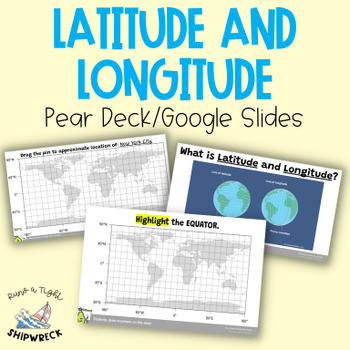
Latitude and Longitude Map Geography Skills Google Slides Pear Deck
Improve your students' map skills with these interactive and engaging Pear Deck slides! Teach your students how to identify lines of latitude and longitude, the Equator, and the Prime Meridian with ease. These slides are a great addition to your geography lesson plans, and can be used as a formative assessment or review activity. The slides come with a brief video tutorial to explain these concepts, followed by an activity where students will pin and label locations on a map using either Google
Grades:
6th - 8th
Types:
Louisiana Social Studies | Me On the Map | City, Parish, State, Country, Cont
My Place on the Map - lessons for identifying and locating city, parish, state, country, and continent - This is an interactive Google Slides Presentation (76 slides) with 18 accompanying B&W printable worksheet activities.This product is ideal for the early grades. This product includes an interactive Google Slides file that requires no extra materials for students to complete, though I have included black & white printable worksheets to go along with the slides. I plan to teach these l
Subjects:
Grades:
K - 3rd
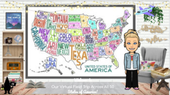
Travel the 50 States: Resources & Activities
This is United States Resource is a visually appealing, highly engaging, and completely editable resource with everything needed to research and study each of the 50 states. All videos are youtube.embeded or video.link so they are safe for students to access independently. This interactive google slide show can be used as a school resource, guided or independent learning or shared with parents to encourage/engage students learning at home. Best of all, this resource will continue to grow as I a
Subjects:
Grades:
K - 5th
Types:
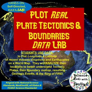
Plate Tectonics & Boundaries PLOT real Earthquakes & Volcanoes DATA LAB
This DATA LAB connects Plate Tectonics and Boundary motion to the ACTUAL Geologic Events they cause-- especially around the Ring of Fire, or Pacific Plate! Students can LABEL the Major PLATES on a World MAP (or Differentiate for ESL/Special Needs students by giving them the MAP with the Plates already labeled- several Included for YOU!) Then, PLOT 18 Latitude & Longitude Points of recent Earthquakes in one color and 18 significant Volcanic Eruptions in another color. They can then-- Color Co
Subjects:
Grades:
5th - 8th
NGSS:
MS-ESS2-2
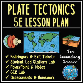
Plate Tectonics 5E Unit Plan - Secondary Science
⭐ ⭐ ⭐ ⭐ Save over 30% off! After completing this 5E Plate Tectonics unit, students will be able to describe and demonstrate how plate tectonics causes major geologic features such as volcanoes, mid-ocean ridges, trenches, and mountains, types of plate boundaries, and how convection currents move and shape the lithosphere. This lesson plan follows the 5E method: Engagement, Exploration, Explanation, Elaboration, and Evaluation, and facilitates student-led learning with minimal prep time. This uni
Subjects:
Grades:
8th - 12th
Types:
NGSS:
HS-ESS2-3
, HS-ESS2-1
, MS-ESS2-2
, HS-ESS1-5
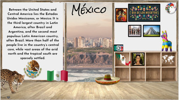
Hispanic Heritage Month~ Virtual Field Trip to Spanish Speaking Countries
I have collected a comprehensive collection of resources, activities, and read alouds intended to celebrate Hispanic Heritage through virtual field trip to each country. These animated Google Slides are great for online, in-person class learning and/or communication. This is an awesome way to keep your audience engaged and allows students of all levels to access. Also a great resource to share with parents to encourage/engage students in reading at home. Currently there are over 50+ resources li
Grades:
PreK - 5th
Types:
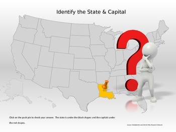
50 States & Capitals Interactive Power Point
Students can practice their 50 states and capitals, locations and abbreviations in this interactive Power Point. If the student does not know the state, they can click to reveal the abbreviation of the state for a second guess.This would be great for a whole class game, small group, or individual practice.
Grades:
4th - 7th
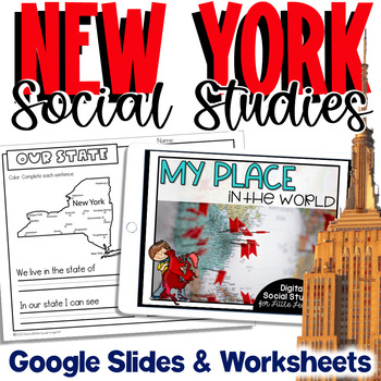
New York Social Studies | Me On the Map |City, County, State, Country, Continent
My Place on the Map - lessons for identifying and locating city, county, state, country, and continent - This is an interactive Google Slides Presentation (76 slides) with 18 accompanying B&W printable worksheet activities.This product is ideal for the early grades. This product includes an interactive Google Slides file that requires no extra materials for students to complete, though I have included black & white printable worksheets to go along with the slides. I plan to teach these l
Subjects:
Grades:
K - 3rd
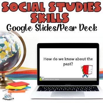
Middle School Geography Timeline Map Skills Interactive Google Slides Pear Deck
Introduce your students to essential social studies skills with this interactive and engaging Pear Deck lesson on Geography, Timelines, and Primary and Secondary Sources! This Google Slides presentation includes mixed-level questions to guide instruction, and students will practice important ELA skills such as identifying and applying domain-specific vocabulary, composing clear written responses, and other writing and reading comprehension skills. This lesson is perfect for whole group instructi
Grades:
6th - 8th
Types:
Showing 1-24 of 832 results


