174 results
Geography lecture pdfs
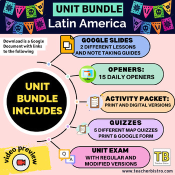
Latin America Geography Bundle (Google Slides, Activity Packet, Quizzes, Opener)
Give your students a SOLID background in the geography of Latin America.This Bundle Includes:2 Google Slides lessons with notetaking guides: Central America and the Caribbean and South America15 daily openers with student worksheetsActivity packet (print, digital, editable, and answers)Intro diagnostic activity5 Map Quizzes: The Caribbean, Central America, Central America and the Caribbean, South America, all of Latin America.Unit test: regular multiple choice, modified version with fewer choice
Subjects:
Grades:
7th - 12th
Types:
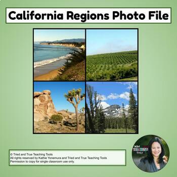
California Regions Photo File
This complete set of 49 gorgeous full-screen photos of California's four geographic regions is the perfect supplement for teaching visual vocabulary and California geography! Photographed by Tried and True Teaching Tools, these photos enhance student understanding! Includes information slide to teach about each region. More than just pictures!-Activate schema-Create photo dictionaries or vocabulary cards for English learners-Create sorting activities and matching gamesCA Regions Photo File:Coast
Subjects:
Grades:
4th
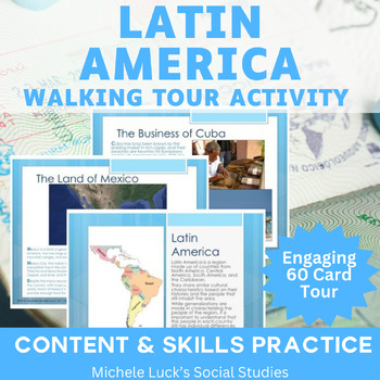
Latin America Walking Tour on History, Culture, Geography, Economy Gallery Walk
Introduce your students to Latin America! With this resource, you can investigate one Latin American country or region at a time or research the entire region as one multi-day activity.Use as a lesson for the Geography of Central and South America or to introduce the region for a History lesson or Book setting.In this 60 page Walking Tour or Gallery Walk Activity and Interactive Lecture on the region of Latin America, your students will be introduced to the region's physical and human geography.
Grades:
6th - 10th
Types:
Also included in: Modern World History Interactive Lessons Bundle Walking Tours & More
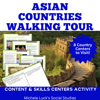
Asia Walking Tour on History, Culture, Physical Geography, Economy More!
Introduce your students to Asia and examine the countries of the continent with an easy to prep and content-filled Walking Tour that will be engaging and fun for your whole class!Investigate one Asian country or region at a time or complete as a multi-day activity where student examine and compare all 8 countries included.Use as a lesson for the Geography of Asia or to introduce the region for a History lesson or Book setting.In this 78+ page Walking Tour or Gallery Walk Activity and Interactive
Subjects:
Grades:
6th - 10th
Types:
Also included in: Modern World History Interactive Lessons Bundle Walking Tours & More
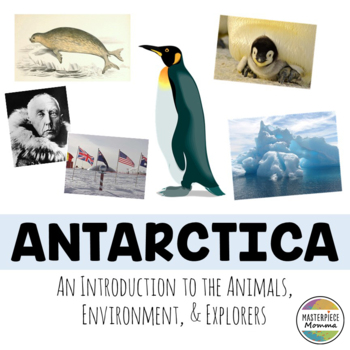
Antarctica: An Introduction to the Animals, Environment, and Explorers
Students will learn about animals, plants, the weather, environmental concerns, and famous explorers of Antarctica in this slideshow. You can use this slideshow at the beginning of a unit on Antarctica. You can also print it out and use it as a book for student research. This slideshow also has 4 questions at the end of the slideshow to review what students have learned. This download comes as a PDF file and is NOT editable as a PDF. However, you can open this slideshow in the TPT EASEL program
Subjects:
Grades:
1st - 6th
Also included in: Mega Country Bundle: Introductions to the Art, Culture, Sights, and Food
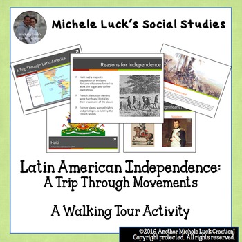
Latin American Independence: A Trip Through Movements
Latin American Independence: A Trip Through Movements can be used as a Centers Activity or as a Response Group Activity in which students gather information from the provided information cards to examine the different movements of the early 19th Century that brought independence to Central and South America. Student handouts and wrap-up questions are provided. Includes many images as well as significant dates, facts, and people of the events. Independence Movements CoveredHaitiMexicoGran Colo
Grades:
7th - 12th, Higher Education
Types:
Also included in: Modern World History Interactive Lessons Bundle Walking Tours & More
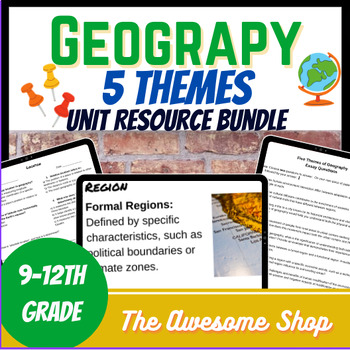
Five Themes of Geography Resource Bundle For High School
This resource has everything you need to build a unit about the five themes of geography. It is geared towards high school students.It comes with:Informational Texts about each of the 5 themes: This resource comes with 5 pages of questions and keysGoogle Slide Show: This google slideshow introduces the five themes and helps students build context around the subject.Notes Matrix: Excellent for struggling students, this fill in the blank matrix will keep students on track.Google Form test: This s
Grades:
9th - 12th, Higher Education
Types:
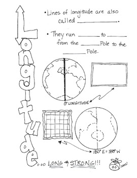
Cartoon Notes for Map Skills-Longitude
Visual notes for learning map skills...I call them 'Cartoon Notes!' These notes are a hit in my classroom, as they tie in visual learning with note-taking. I use these in my classroom to introduce, reinforce, and review with my students. Enjoy!
This is the page for teaching 'Longitude." Make sure you search for the page on 'Latitude' as well!
Subjects:
Grades:
3rd - 9th
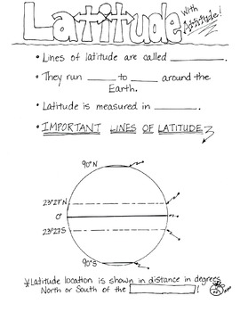
Cartoon Notes for Map Skills-Latitude
Visual notes for learning map skills...I call them 'Cartoon Notes!' These notes are a hit in my classroom, as they tie in visual learning with note-taking. I use these in my classroom to introduce, reinforce, and review with my students. Enjoy!
This is a page for teaching 'Latitude.' Please see the 'Longitude' page too!
Subjects:
Grades:
3rd - 8th
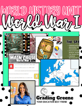
WWI UNIT | World History | Notes | Student Activities | Geography
Learn about WWI from the World History perspective. Students will learn about the MAIN causes of the war, the assassination of the Archduke, the opposing sides, Russia's revolutionary exit, and the Treaty of Versailles through captivating lecture, student activities and 3D images that make the war come to life. The Google Slides Presentation also corresponds to a student note packet with fill-in-the-blank notes and unit vocabulary (included as Bonus File)Further extend your students' understandi
Grades:
8th - 11th
Types:
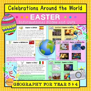
Celebrations Around The World: Easter
This resource introduces children to Easter traditions around the world in counties that include: Spain, Italy, Ethiopia, Bermuda, Australia, Germany and Greece. Learn about people celebrate Easter with their families, friends and communities through special events and traditional foods during this annual occasion. We have included plenty of photographs and amazing facts to engage your students! Additionally, we have included 10 multiple choice quiz questions to check their understanding. Wonder
Subjects:
Grades:
3rd - 4th
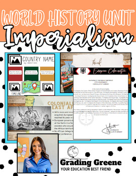
IMPERIALISM UNIT | World History | Notes | Student Activities | Project
Learn about the height of Imperialism from the World History perspective. This unit defines imperialism and evaluates its motivations and inherent flaws. Students will learn about the Berlin Conference as well as study examples of European Imperialism through the British Raj. Throughout this presentation, you will review themes of colonization and rebellion with student review questions embedded for formative assessment.The Google Slides Presentation also corresponds to a student note packet wit
Grades:
8th - 11th
Types:
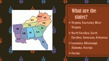
Southeast Region of the United States Presentation
This product gives information about the Southeast Region of the United States, including maps, photographs, & information pertaining to each state of the region. If you like this product, please go to my "It's A Vaughnderful Classroom" to check out the whole bundle and other creative products.In my store are presentations of each of the five regions including: the West, Midwest, Southeast, Southwest, and Northeast regions.
Grades:
2nd - 7th
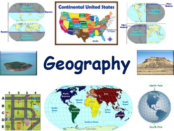
Geography Lesson - study guide, state exam prep 2023-2024
Have fun learning the world’s continents and oceans. What's the equator? What's the prime meridian? Become an expert in using maps. Learn all the parts to maps, (title, legend, symbols, etc.). Have fun finding things on maps! Learn to identify certain land and water features while exploring world of geography!Our lessons and flashcards are developed using concepts and information that are universal in nature and applicable to any state in the country. You can even use them to prepare for state
Grades:
3rd - 5th
Types:
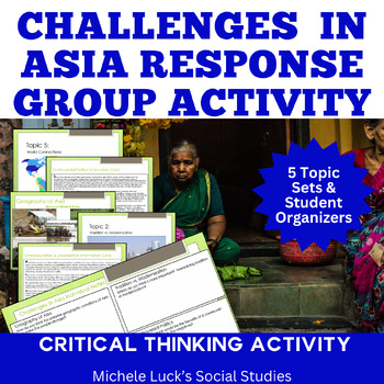
Challenges in Asia Response Group Activity or Centers Activity | Geography
Are you looking for a comprehensive resource on the Challenges in Asia? Do you want your students to analyze primary and secondary sources to come to their own conclusions on the Challenges in Asia?Place learning in the student's hands with this Challenges in Asia Response Group Activity. As students investigate the challenges and opportunities for countries of Asia, they work collaboratively to make predictions and offer solutions for positive change. Great inquiry-based lesson. It's the perf
Subjects:
Grades:
6th - 12th
Types:
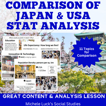
Japan and America Comparison Interactive Lecture Notes Presentation or Centers
Introduce students to Japan with this interactive presentation or centers activity on topics for comparison to the USA. Engaging and eye-opening, the topics will cover a wide area of statistics for students to compare for a deeper understanding of the similarities and differences between the two countries. This presentation goes well with any study on the population density of Japan. It helps students compare the basic facts about Japan's land and people to America. These interactive lecture n
Grades:
5th - 12th
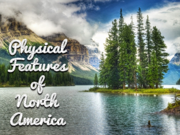
North America Continent Presentation
This presentation highlights major cities, landforms, rivers, government, climate, and so much more of the United States, Canada, and Mexico. There are six standards reviewed within this presentation of the Tennessee State Social Studies standards of 3rd grade. This presentation will enable students to identify major cities of the U.S. as well as major bodies of water, mountains, deserts, and other landforms. A great discussion could be derived by comparing & contrasting the climates, govern
Grades:
3rd - 6th
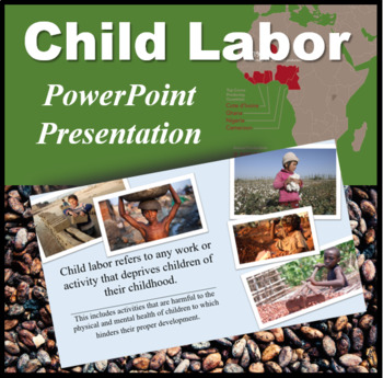
Child Labor PowerPoint Presentation
This Power Point presentation on was made to supplement a lesson regarding child labor. This Power Point presentation uses the chocolate industry in order to get the message across as child labor in parts of Africa is still very much widespread. Two of the countries that are emphasized in this presentation include the Ivory Coast and Ghana. This would make a great lesson for studying the Geography of this area.
This Power Point includes the definition of child labor as well as reasons to why i
Subjects:
Grades:
6th - 9th

Guyana Presentation
This presentation covers geography, weather, water and ocean, major plant and animal, soil, landform, erosion issues, fluvial, karst and hydrothermal, arid, glacial, and coast features of Guyana. Comparisons to Minnesota features are occasionally made as a way of relating Guyana to a U.S. state. This can be used as an example for a country analysis project or as a way of teaching students about Guyana. This is intended for middle or high school students in a geography course.
Grades:
10th - 12th, Higher Education
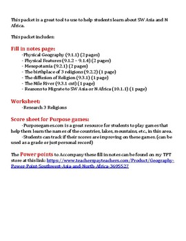
Fill in Notes Geography Southwest Asia and North Africa
These fill in notes go with a power point found on my TPT store at this link: https://www.teacherspayteachers.com/Product/Geography-Power-Point-Southwest-Asia-and-North-Africa-3695527
Fill in notes are a great way to keep students engaged with the lesson and it gives them a study guide afterwards.
This packets includes:
Fill in notes for these topics:
- Physical Geography
- Physical Features
- Mesopotamia
- The Birthplace of 3 religions
-The Diffusion of Religions
-The Nile River
-Reasons
Subjects:
Grades:
5th - 10th
Types:
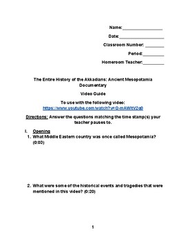
Mesopotamia Video Guide
This video guide contains questions that go with the YouTube video "The Entire History of the Akkadians: Ancient Mesopotamia Documentary." This also can go with a lesson dealing with the history of the Middle East (Southwest Asia).
Subjects:
Grades:
6th - 12th, Higher Education
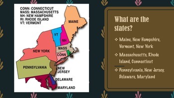
Northeast Region of United States Presentation FREEBIE
This product gives information about the Northeast Region of the United States, including maps, photographs, & information pertaining to each state of the region.
This presentation is a FREEBIE and if you like this product, please go to my "It's A Vaughnderful Classroom" to check out the whole bundle.
Included with the bundle is a presentation of each of the five regions including: the West, Midwest, Southeast, Southwest, and Northeast regions.
Grades:
2nd - 8th
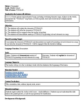
TODALSS Lesson Plan
This is a lesson about TODALSS map basics. In this lesson, students will learn about map basics as expressed in the acronym TODALSS as they look at slides about TODALSS, answer some questions that are designed to give students an appropriate level of challenge about each element of TODALSS, and apply what they learned in a summary worksheet. This lesson is part of a larger unit about maps and geography tools. This lesson should take one class period to teach, and all of the necessary materials a
Subjects:
Grades:
6th - 9th
Types:
Also included in: Maps and Tools of Geography Unit
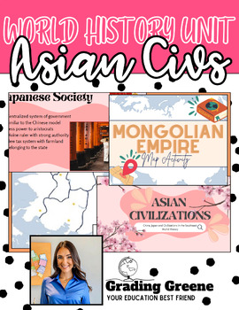
Asian Civilizations Unit with Google Slides and Student Activities
Learn about major aspects of Asian Civilizations including ancient China, Japan and the Mongolian Empire. Throughout this presentations, you will review themes of government, gender relations, social class and societal trends with student review questions embedded for formative assessment. The Slide Show corresponds to a student note packet in fill-in-the-blank format with key unit vocabulary.Extension activities include a map of the Mongolian Empire and a student debate on Genghis Khan's impact
Grades:
8th - 11th
Types:
CCSS:
Showing 1-24 of 174 results


