1,496 results
Geography independent work packets for Google Apps
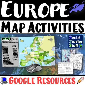
Geography of Europe Map Practice Activities | Print and Digital | Google
End the cycle of bored students copying from books to label maps! Your classes think critically with these digital, interactive, geography activities. First, students answer questions about Europe by analyzing various physical & political maps of the region. Then, a drag & drop challenge assesses their learning of the locations. This resource also includes a printable worksheet that takes labeling maps to the next level! They create a map using only absolute & relative location clues
Subjects:
Grades:
5th - 12th
CCSS:
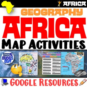
Geography of Africa Map Practice Activities | Print and Digital | Google
End the cycle of bored students copying from books to label maps! Your classes think critically with these digital, interactive, geography activities. First, students answer questions about Africa by analyzing various physical & political maps of the region. Then, a drag & drop challenge assesses their learning of the locations. This resource also includes a printable worksheet that takes labeling maps to the next level! They create a map using only absolute & relative location clues
Subjects:
Grades:
5th - 12th
CCSS:
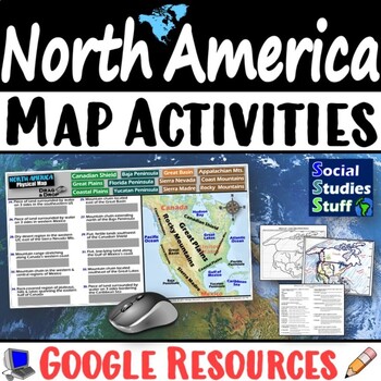
Geography of North America Map Practice Activities | USA Canada Mexico | Google
End the cycle of bored students copying from books to label maps! Your classes think critically with these digital, interactive, geography activities. First, students answer questions about North America by analyzing various physical & political maps of the region. Then, a drag & drop challenge assesses their learning of the locations. This resource also includes a printable worksheet that takes labeling maps to the next level! They create a map of the United States, Canada, and Mexico u
Subjects:
Grades:
5th - 12th
CCSS:
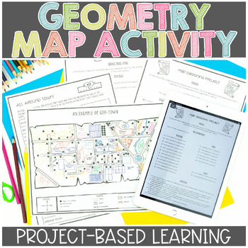
Map Skills | Project Based Learning | Geometry | Printable & Digital | Google
Have your students demonstrate their understanding of many different math concepts while designing a map of their own town! This hands-on math activity is a project that will definitely engage your students.Check out the preview for more details!Objective: To demonstrate an understanding of geometric terms and measurement. Students will be designing and drawing a map that will incorporate many mathematical concepts.The following concepts will be covered through this project-based learning activi
Subjects:
Grades:
2nd - 5th
Also included in: Project Based Math Activities BUNDLE
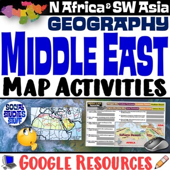
Middle East Map Practice Activities | SW Asia & North Africa Geography | Google
End the cycle of bored students copying from books to label maps! Your classes think critically with these digital, interactive, geography activities. First, students answer questions about the Middle East by analyzing various physical & political maps of the region. Then, a drag & drop challenge assesses their learning of the locations. This resource also includes a printable worksheet that takes labeling maps to the next level! They create a map of Southwest Asia & North Africa usi
Subjects:
Grades:
5th - 12th
CCSS:
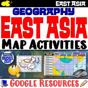
Geography of East Asia Map Practice Activities | Print and Digital | Google
End the cycle of bored students copying from books to label maps! Your classes think critically with these digital, interactive, geography activities. First, students answer questions about East Asia by analyzing various physical & political maps of the region. Then, a drag & drop challenge assesses their learning of the locations. This resource also includes a printable worksheet that takes labeling maps to the next level! They create a map using only absolute & relative location cl
Subjects:
Grades:
5th - 12th
CCSS:
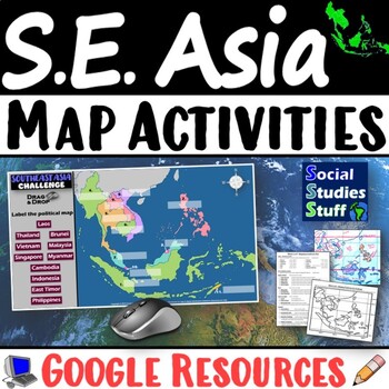
Geography of Southeast Asia Map Practice Activities | SE Asia Region | Google
End the cycle of bored students copying from books to label maps! Your classes think critically with these digital, interactive, geography activities. First, students answer questions about Southeast Asia by analyzing various physical & political maps of the region. Then, a drag & drop challenge assesses their learning of the locations. This resource also includes a printable worksheet that takes labeling maps to the next level! They create a map using only absolute & relative locati
Subjects:
Grades:
5th - 12th
CCSS:
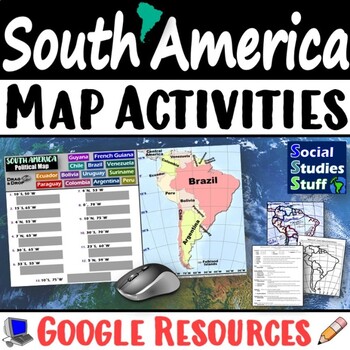
Geography of South America Map Practice Activities | Print and Digital | Google
End the cycle of bored students copying from books to label maps! Your classes think critically with these digital, interactive, geography activities. First, students answer questions about South America by analyzing various physical & political maps of the region. Then, a drag & drop challenge assesses their learning of the locations. This resource also includes a printable worksheet that takes labeling maps to the next level! They create a map using only absolute & relative locatio
Subjects:
Grades:
5th - 12th
CCSS:
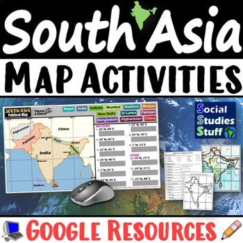
South Asia Map Practice Activities | India Geography | Print & Digital | Google
End the cycle of bored students copying from books to label maps! Your classes think critically with these digital, interactive, geography activities. First, students answer questions about South Asia by analyzing various physical & political maps of the region. Then, a drag & drop challenge assesses their learning of the locations. This resource also includes a printable worksheet that takes labeling maps to the next level! They create a map of India using only absolute & relative l
Subjects:
Grades:
5th - 12th
CCSS:
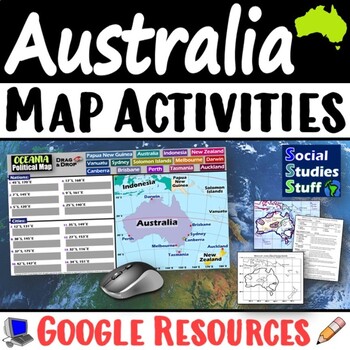
Geography of Oceania Map Practice Activities | Australia Region | Google
End the cycle of bored students copying from books to label maps! Your classes think critically with these digital, interactive, geography activities. First, students answer questions about Australia & Oceania by analyzing various physical & political maps of the region. Then, a drag & drop challenge assesses their learning of the locations. This resource also includes a printable worksheet that takes labeling maps to the next level! They create a map using only absolute & relati
Subjects:
Grades:
5th - 12th
CCSS:
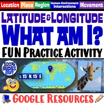
FUN Latitude Longitude Practice Activity | Geography Location Clues | Google
Students & teachers LOVE this digital “What am I?” activity! Challenge your class to use latitude & longitude coordinates to plot the locations of mystery animals on a world map. Then, they read clues & try to guess what animal lives at each absolute location. This activity integrates science & social studies curriculum and keeps your students highly engaged. Your purchase has print & interactive, digital versions of the materials. Made for traditional in-class learning or di
Subjects:
Grades:
4th - 8th
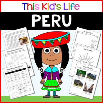
Peru Country Study: Reading & Writing + Google Slides/PPT Distance Learning
Have you ever wondered what it would be like to live in Peru?Learn what it might be like to be a kid in Peru through the eyes of a Peruvian girl named Mayra. Students will see what it’s like to attend school in Peru, what food they might eat, what sports they might play, and what they might do with their families for fun on weekends. Great for distance learning, and for celebrating Hispanic Heritage Month and Latinx history and culture!Included in This Kid's Life: Peru:A letter from Mayra to you
Grades:
1st - 6th
Types:
Also included in: Around the World Mega Bundle - 92 countries - 50% Discount
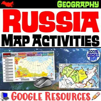
Geography of Russia Map Practice Activities | Print and Digital | Google
End the cycle of bored students copying from books to label maps! Your classes think critically with these digital, interactive, geography activities. First, students answer questions about Russia by analyzing various physical & political maps of the region. Then, a drag & drop challenge assesses their learning of the locations. This resource also includes a printable worksheet that takes labeling maps to the next level! They create a map using only absolute & relative location clues
Subjects:
Grades:
5th - 12th
CCSS:
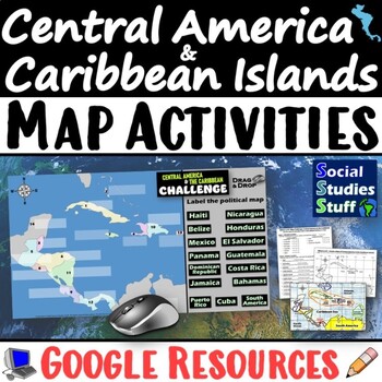
Geography of Central America and the Caribbean Map Practice Activities | Google
End the cycle of bored students copying from books to label maps! Your classes think critically with these digital, interactive, geography activities. First, students answer questions about Central America and the Caribbean Islands by analyzing various physical & political maps of the region. Then, a drag & drop challenge assesses their learning of the locations. This resource also includes a printable worksheet that takes labeling maps to the next level! They create a map using only abs
Grades:
5th - 12th
CCSS:
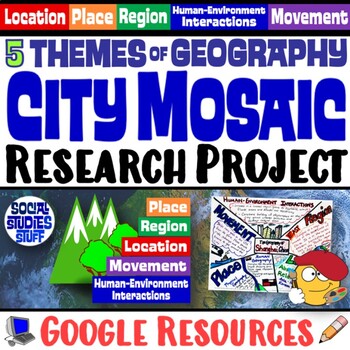
Five Themes of Geography Research Project PBL | 5 Themes City Mosaic | Google
This fun project challenges students to research and showcase each of the Five Themes of Geography by creating mosaics! First, they research the Location, Place, Region, Movement, and Human-Environment Interactions of a city. Then, they design colorful mosaics with images and descriptions explaining its geography. The activity can be adapted to any location. A rubric sets clear expectations for your students and makes grading easy! Creating mosaics is a fun way to assess student learning while l
Subjects:
Grades:
5th - 12th
CCSS:
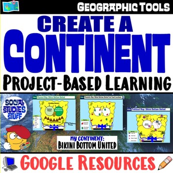
Create a Continent World Map Project | FUN Geography Skills PBL | Google
This fun “Create a Continent” project challenges your students to design physical, political & thematic maps featuring an original continent. Each project’s theme is unique & encourages creativity. Guided slides help you introduce the project & set expectations with your class. A rubric makes grading easy. The activity works great as a stand-alone project or as an assessment on map skills. Students love to show off their creativity; you love to see them applying their map skills! You
Subjects:
Grades:
4th - 9th
CCSS:
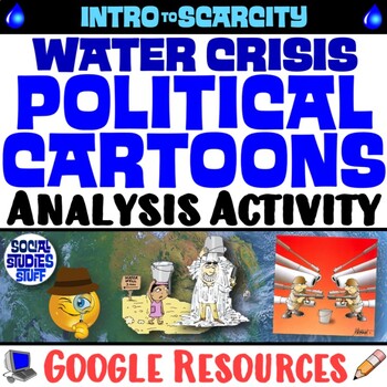
Analyze Water Scarcity with Political Cartoons Practice Activity | Google
This engaging activity challenges students to examine the global water crisis using political cartoons. Fill-in charts & leading questions help guide their analysis of the effects water scarcity has on our world. Print & interactive, digital versions of the materials are included. Made for traditional in-class learning or digital 1:1 classrooms. Everything you need is included!Includes Google Resources: Digital & PrintInteractive, Digital ActivityPrintable Student WorksheetAnswer Key
Grades:
6th - 12th
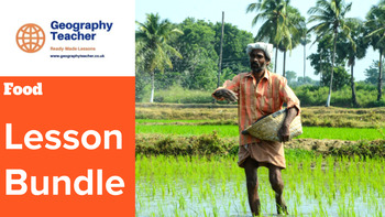
Food (Sustainability and Security): Lesson Bundle (Incredible Value!!)
30% discount when you purchase all 4 lessons! This is an incredible-value lesson bundle of 4 student-focused, collaborative lessons based on the 'Food Sustainability and Security' set of lessons.*INCLUDES SPECIAL BONUS TEMPLATE PACK FREE-OF-CHARGE*This bundle contains the following lessons:Global Demand for FoodFood InsecurityIncreasing Food ProductionSustainable Food Supply*This bundle also includes a special bonus product FREE-OF-CHARGE containing plenary, assessment and retrieval activities f
Grades:
7th - 10th
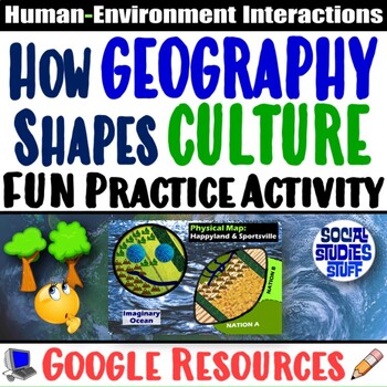
Explore How Geography Shapes Culture Practice Activity | Google
How are geography and culture connected? This activity challenges your class to analyze how people might be impacted by their environments. They examine a physical map of 2 imaginary nations, Happyland and Sportsville, then analyze how various geographic factors might affect people. Students consider big idea themes, like: How does geography impact human settlement patterns? How does geography shape culture and daily life? This fun activity promotes critical thinking and fosters creativity! Your
Grades:
4th - 9th
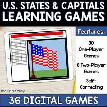
US States and Capitals - 50 States and Capitals - Regions of the US Digital Game
Learning the 50 US States and their Capitals can take time and a lot of practice! Make that practice into game time with these 36 US States and Capitals Digital Games.This resource includes:✅30 Digital Self-Correcting One-Player State Games✅6 Digital Self-Correcting Two-Player Games✅Digital Self-Correcting Quizzes and Assessments✅Trivia✅ABC Order✅Brackets for CompetitionsHere's What Your Students will Learn:Regional Maps of the United StatesMap of 50 StatesPostal AbbreviationsState CapitalsYour
Grades:
4th - 6th
Also included in: US States and Capitals - 50 States and Capitals - Regions of the US Unit
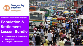
Population and Settlement Geography: 9-Lesson Bundle (Great Value!)
30% discount when you purchase all 9 lessons! *INCLUDES SPECIAL BONUS TEMPLATE PACK FREE-OF-CHARGE*This is a great-value lesson bundle of 9 student-focused, collaborative lessons based on the ‘Population and Settlement’ set of lessons.This bundle contains the following lessons:What is Human Geography?Where People LiveDemographyMigrationPopulation ChangeHuman SettlementsMegacitiesRural SettlementsUrbanisation*This bundle also includes a special bonus product FREE-OF-CHARGE containing plenary, ass
Grades:
4th - 9th
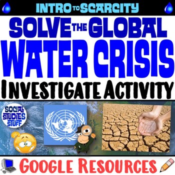
The Water Scarcity Crisis Challenge | Investigate Solutions Activity | Google
The United Nations needs help combatting the world’s water crisis! This thought-provoking activity challenges students to examine innovative solutions to ease scarcity in the Middle East. They analyze various ideas, determine the pros & cons of each, and create their own unique solutions. Then, students write innovative proposals recommending the most promising proposal in a final report to the UN Council. A fill-in rubric is included for easy grading. Your purchase has print & interacti
Subjects:
Grades:
5th - 12th
CCSS:
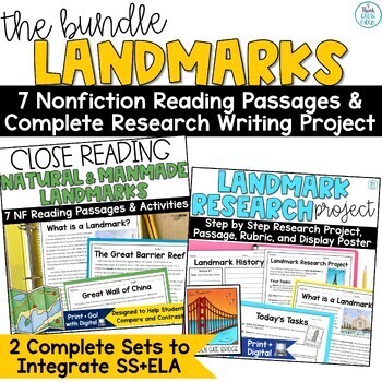
Landmark Research Project Fun Summer School Activities Writing Reading Passages
Save time planning about iconic landmarks with these high-interest nonfiction reading and writing activities! This is the perfect set to bring into your ELA and SS blocks to tie together historic places and important reading and writing skills. It also makes a great end-of-year independent project for students.This set includes 7 close reading passages and a step-by-step approach to writing research pieces to help you scaffold and differentiate to meet your students' needs. This writing pack wil
Subjects:
Grades:
3rd - 5th
Map Scale: Introduction and Paperless Practice Questions (Digital/Google Slides)
Introduce map scale by using this no prep digital resource (google slides). It is designed so that students can independently learn how to use a map scale to calculate real world distances. Students complete their work directly in the slideshow, which makes it easy for you to mark and assess. This resource would also make an easy lesson plan for a substitute teacher. This slideshow includes the following sections:1. INTRODUCTIONAs students read through these slides and answer questions, they wil
Subjects:
Grades:
5th - 8th
Also included in: Digital Mapping Bundle: Reading Maps, Map Scale, Mercartor Projections
Showing 1-24 of 1,496 results


