146 results
Geography task cards for Google Apps
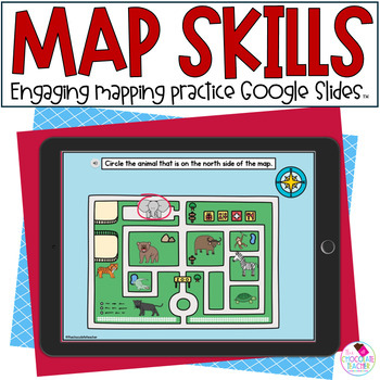
Map Skills - First Grade Mapping - Social Studies - Google Slides™
Teaching beginning map skills to 1st graders is always a lot of fun! Students love learning about maps, compass roses, cardinal directions, and map keys! This interactive Google Slides™ unit is a perfect activity to introduce and practice beginning mapping.Audio is included on all slides in this unit.Here's what's included in this deck:Audio included for definitions, instructions, sentencesDifferent uses of mapsCardinal directions on a compass roseUsing directions on a mapUsing a map key activit
Grades:
1st - 2nd
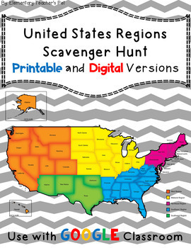
The 5 Regions of the United States- Scavenger hunt -Distance Learning
This is a scavenger hunt for the five regions of the United States. In this pack you will find 20 cards and a worksheet with questions. There are four cards for every region. They will be able to answer the questions on the worksheet using the cards. I like to hang the cards around the room and get the kids up and out of their seats.Directions: There are 20 cards, each with a fun fact. You cut the cards apart and hang them around the room. The students then "hunt" for each of the cards. Each stu
Subjects:
Grades:
2nd - 6th
Types:
Also included in: Scavenger Hunt Bundle
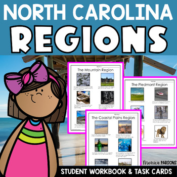
North Carolina's Three Regions Intro to NC Geography and History
Teach your students about North Carolina’s Three Regions with this fun unit! Students will get an intro to NC geography and history through these activities! Students will learn about North Carolina’s place in this world. Then they will explore North Carolina’s three regions by learning about the characteristics of each region.Students will learn about North Carolina’s three regions: the Mountains, the Piedmont, and the Coastal Plains. They can explore each region through photographs and descrip
Grades:
3rd - 4th
Types:
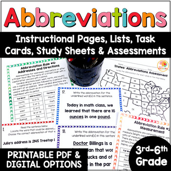
Abbreviations Worksheet: Rules, Task Cards, Anchor Chart, Assessments Activities
Abbreviations Activities: Rules, Task Cards, Worksheets Practice with US MapsAre you looking for abbreviations worksheets, practice pages, task cards, lists, abbreviation rules, and assessments? You've come to the right spot! This abbreviations activities product includes:One page of teacher's notesSeven reference/instructional pages, which include the abbreviations lists by category36 task cards with three distinct question typesAn answer sheetAn answer keyBlack-and-white study sheets for eas
Subjects:
Grades:
3rd - 6th
Types:
Also included in: Kirsten's Kaboodle Multi-Level Storewide ELA Task Cards BUNDLE Digital
Digital Quick Check for Map Skills in Google Forms/Distance Learning
Use Google Drive to access my MAP SKILLS QUICK CHECK for an easy way to monitor and assess students’ progress for this important skill in the intermediate grades. I created a Google Form that closely aligns with the format and content encountered on the new technology-based state tests. Students will be asked to analyze 20 given maps, graphics, pictures, and questions and apply their knowledge of map skills in the area of cardinal/intermediate directions, map scale, map legend, continents/oceans
Grades:
3rd - 5th
Types:
Also included in: Bundle of 4th Grade Social Studies Google Drive Units
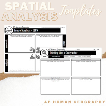
Spatial Analysis Templates - AP Human Geography - Thinking Like A Geographer
Use these spatial analysis templates when your students are analyzing case studies, maps, images or data in AP Human Geography. Template #1 - ESPN Lens of Analysis Template #2 - Thinking Like a Geographer Spatial Analysis
Subjects:
Grades:
9th - 12th
Digital BOOM Task Cards: Map Skills for 4th and 5th Grade
Use BOOM cards for a super engaging, fun way to practice map skills! Students will scroll through and receive immediate feedback when interacting with 20 colorful task cards to reinforce skills such as cardinal and intermediate directions, continents & oceans, map scale, map features, relative directions, and much more! What exactly are BOOM Cards??They are digital task cards that provide immediate feedback as students interact with them! They can be easily be uploaded and used on chromebook
Grades:
3rd - 5th
Types:
Also included in: Social Studies BOOM Card Bundle for 4th and 5th Grade
Ancient Rome Activities Bundle Digital Resources Google Slides {Print & Digital}
Ancient Rome was one of the most influential ancient civilizations. We use many of their contributions still to this day! A Digital Version for Google Classroom has been added to this bundle. What's inside:Daily Life in Ancient Rome Activity Pack (PDF)A Digital Version for Google ClassroomPowerPoint PresentationBulletin Board KitUnit Test in Google FormsTeacher DirectionsTask CardsTimeline ActivityAnswer KeysDaily Life in Rome Activity Pack includes 20 reading passages, organizers, 3 case files
Grades:
2nd - 4th
Types:
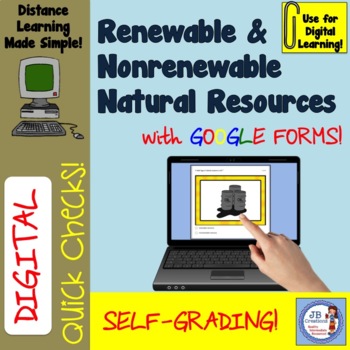
Digital Quick Check: Renewable & Nonrenewable Natural Resources Google Form
Students will identify the difference between renewable and nonrenewable resources in this quick, SELF GRADING 12 question Google Form! What is a DIGITAL resource?Use Google Drive to access my Renewable & Nonrenewable Resources QUICK CHECK for an easy way to monitor and assess students’ progress for this important area of study in Social Studies. I created a Google Form that provides an engaging and colorful format for students to interact with this material. Students will be asked to identi
Subjects:
Grades:
3rd - 5th
Types:
Also included in: Bundle of 4th Grade Social Studies Google Drive Units
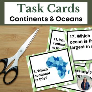
Continents and Oceans Task Cards for Geography and Map Skills for Social Studies
These 18 task cards are perfect for reinforcing geography and map skills. Students will identify and label the continents and oceans in this task cards activity. These 18 task cards include images and questions for each of the 7 continents, questions about the 5 oceans, and labeling a compass rose. Students will also identify cardinal directions (North, East, South, West) in these task cards. This is great for helping all students access grade level content! TEACHERS LIKE YOU SAID…"Great activit
Grades:
6th - 9th
Types:
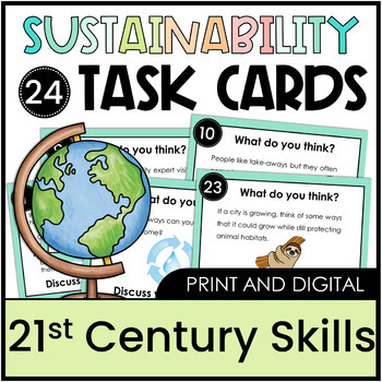
Critical Thinking Sustainability Task Cards 3rd, 4th, 5th, 6th, 7th Earth Day
Get your students working collaboratively, solving problems, and thinking creatively and critically about sustainability with this set of 24 task cards. Students will develop key 21st century skills needed while addressing important issues about our interconnectedness with the environment, and our responsibility to take care of it.Students will work together to come up with new ideas and new solutions - there are no right or wrong answers.Ideas for use:stationsturn and talk with a partner discus
Subjects:
Grades:
3rd - 7th
Types:
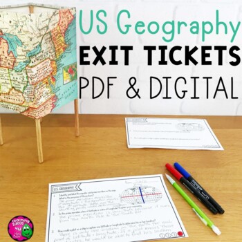
United States Geography & U.S. Regions Exit Tickets Set - Digital & Printable
United States Geography Exit Tickets Set - Digital & PDFThis resource is a set of 20 pages of U.S. Geography themed exit tickets, bell ringers, review questions - these formative assessments can be used as different classroom activities. This resource includes each exit ticket in both PDF and Google Slides formats. The digital slides are included in both one complete document and individually, so that teachers can easily assign just one ticket to students.Each ticket includes 1 - 3 questions
Grades:
4th - 6th
Types:
Also included in: American History Exit Ticket Bundle US Geography - Westward Movement
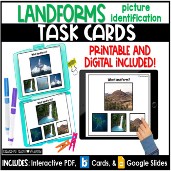
Landforms Picture Match | Geography | Social Studies Task Cards | Boom Cards
Need more activities for geography lessons working on identifying landforms? These printable and digital task cards ask students to match pictures of landforms! Use these to accompany your social studies or geography lessons! They are perfect for hands-on learning! These can be best used as morning work, social studies center work, early finisher, independent work station materials, and more!Want to save up to 20%? BUY THE SOCIAL STUDIES TASK CARD BUNDLE and get 20 sets of task cards at a steal!
Subjects:
Grades:
PreK - 12th
Types:
Also included in: Social Studies Task Cards Bundle | Boom Cards | Google Slides
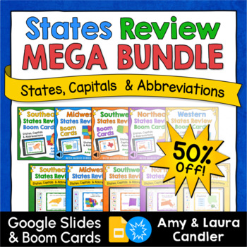
States & Capitals Digital Google Slides & Boom Cards Mega Bundle (Save 50%)
The States and Capitals Review Boom Cards and Google Slides Bundle includes five decks of digital task cards in two different formats. This bundle includes over 300 interactive task cards designed as a fun way for students to review the locations, capitals, and abbreviations of the 50 states of the US, region by region. Click the green preview link above to preview all 10 products in this bundle. If you like them all, you can save 50% off the cost of the individual products by purchasing this me
Subjects:
Grades:
4th - 6th
Types:
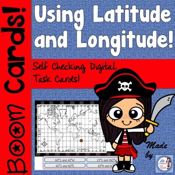
Latitude and Longitude BOOM Cards
Use BOOM cards for a super engaging, fun way to practice identifying LATITUDE & LONGITUDE coordinate sets on a map! Students will scroll through and receive immediate feedback when interacting with colorful task cards that feature a colorful pirate map with lines of both latitude and longitude asking them to identify the location of various buried treasure! Students will love the game-like feel of this activity and teachers will love the repeated, focus practice it provides! What exactly ar
Grades:
3rd - 6th
Types:
Also included in: Social Studies BOOM Card Bundle for 4th and 5th Grade
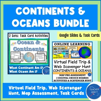
Continents & Oceans Activity Bundle | Virtual Field Trip & Task Cards
Looking for activities about continents and oceans? This Value Bundle lets your students explore continents and oceans using an online Virtual Field Trip and task cards activity. Both activities are super engaging and fun!What's included?What Continent Am I? Task Card Set (24 Cards with Answer Grid)What Ocean Am I? Task Card Set (24 Cards with Answer Grid)Virtual Field Trip with Map Questions, Quiz & Web Scavenger HuntThis resource is perfect for Back To School or anytime during the year whe
Grades:
4th - 7th
Types:
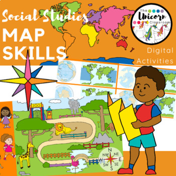
1st Grade Map Skills Digital Activities for Google Slides / Google Classroom
This resource includes 14 Google Slides for students to show what they know about compass rose cardinal and intermediate directions, following directions, continents, oceans, and landforms. These were designed for kindergarten and first grade students. All 14 of the slides have moveable pieces which allow students to move either the picture or a word to the correct place on the slide.I have recorded directions for each slide so that students know what to do. Students may click the audio button f
Subjects:
Grades:
K - 2nd
Also included in: 1st Grade GA Social Studies MEGA BUNDLE
Map Skills DIGITAL Task Card Set (intermediate grades)
Use your Google Drive to review key map skill in a fun, interactive DIGITAL task card format! Students will scroll through 20 map skill task cards to demonstrate their knowledge on map features, relative location, cardinal & intermediate directions, continents & oceans, and much more! By providing 20 individual questions on bright cards with accompanying graphic and map clues, students will have multiple opportunities to strengthen the key map skills associated with the new learning s
Subjects:
Grades:
3rd - 6th
Types:
Also included in: 4th Grade Social Studies Super Bundle of Units for Ohio Standards
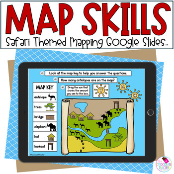
Map Skills - 1st Grade Mapping - Social Studies - Google Slides™
How about practicing beginning map skills with a fun safari theme? This engaging Google Slides™ activity teaches mapping skills using safari maps and animals. Students will practice locations with cardinal directions, they’ll use a compass rose in the activities, and they’ll learn to use a map key. This is a great activity for first grade, kindergarten, or a review for second graders!Audio is included on all slides in this unit.Here's what's included in this product:•Audio on each slide•Identify
Grades:
1st - 2nd
5 Themes of Geography & Map Skills Task Cards *Back to School*
This set of Geography task cards is perfect for engaging learners. They review the 5 themes of geography (location, place, human-environment interaction, movement, region) and mapping skills. Students will learn how to apply these skills and practice research skills while completing tasks. These Geography task cards are also editable and have answer slides included so your students don’t need to create a new assignment! This activity will work well regardless of whether you are distance learning
Grades:
9th - 12th
Types:
Also included in: Back to School Social Studies Bundle
Digital BOOM Task Cards: Primary and Secondary Sources of Information
Use BOOM cards for an engaging, fun way to practice learning the difference between primary and secondary sources of information! Students will scroll through and receive immediate feedback when interacting with 20 colorful task cards to identify this important standard in intermediate Social Studies. What exactly are BOOM Cards??They are digital task cards that provide immediate feedback as students interact with them! They can be easily be uploaded and used on chromebooks, iPads, Smartboards,
Grades:
3rd - 5th
Types:
Also included in: Social Studies BOOM Card Bundle for 4th and 5th Grade
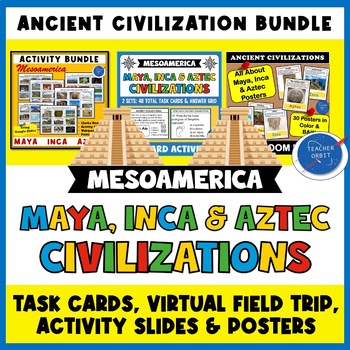
Maya Inca Aztec Mesoamerica Bundle | Virtual Field Trip Task Cards Posters
Looking for activities for your Maya, Aztec and Inca lessons? This Ancient Civilization Value bundle includes 2 student activities along with a Mesoamerica poster set to use with your lessons. Students will learn about each of these civilizations' achievements and accomplishments, daily life, government and the fall of each empire. What's included?Virtual Field Trip: 6 Digital Choice Boards Virtual Field Trip: Online Postcard Quiz Virtual Field Trip: Activity SlidesVirtual Field Trip: Teacher &
Grades:
4th - 8th
Types:
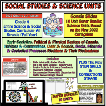
Gr. 4 Science (NEW 2022) and Social Studies Entire Year Super Bundle: 10 Units
Dr. SillyPants Has you Covered! Everything you will need to teach the Entire Grade 4 Science and Social Studies Curriculum. 5 Science Units are based on the NEW 2022 Ontario Science and Technology Curriculum including the new STEM Skills & Connections Strand. 10 Units! Perfect for both In-Class & Distance Learning. Science Units:STEM Skills & ConnectionsHabitats & CommunitiesLight & Sound Rocks, Minerals & Geological Processes Machines & Their MechanismsAND Social
Subjects:
Grades:
4th
Types:
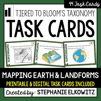
Mapping Earth and Landforms Task Cards | Printable & Digital
About this Product• This product includes PRINTABLE AND DIGITAL task cards.• Task cards are tiered to Bloom's Taxonomy and probe low, mid and higher order thinking. • Quick Prep – two cuts produce printable task cards with a neat and even white border.• Digital task cards are made with Google Forms - Google Classrooms are not required. • Answer Key includedImportant Notes:• Download FREE Task Cards to learn more about my task card sets• Save $$$ with the Earth Science Complete Curriculum• Save $
Subjects:
Grades:
3rd - 9th
Types:
NGSS:
4-ESS2-2
Also included in: Earth Science Task Card Bundle | Printable & Digital
Showing 1-24 of 146 results


