42 results
4th grade geography laboratories
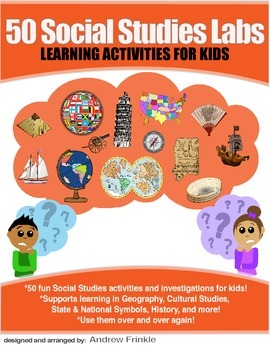
50 Social Studies Labs - Geography History Cultural Studies Economics Government
PREVIEW AVAILABLE!LIKE WHAT YOU SEE? CHECK OUT OTHER STEM RESOURCES IN MY SHOP!FROM THE CREATOR OF 50 STEM LABS & 50 MORE STEM LABS comes this collection of 50 Social Studies Activities for kids. Recommended for grades K to 6 and up! Each one has a snappy title, a brief set of instructions, recommended materials list, and space for notes. These are very adjustable for your classroom, home, or homeschool needs. Do projects for concepts like: Geography, Cultural Studies, Economics, History, G
Grades:
K - 8th
Types:
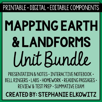
Mapping Earth & Landforms Unit Bundle | Printable, Digital & Editable Components
Save 40% by purchasing ALL my Mapping Earth teaching materials!Important Notes:• Download a FREE Unit Bundle to learn more about all my products.• Save $$$ with the Earth Science Complete Curriculum• Save $$$$ with the Integrated Science Complete Curriculum• Consider Daily Lessons as an economical alternative to this unit bundle (see below)• This product includes FREE downloads of ALL future Mapping Earth products.**********************************************************************************
Subjects:
Grades:
3rd - 9th
Types:
NGSS:
4-ESS2-2
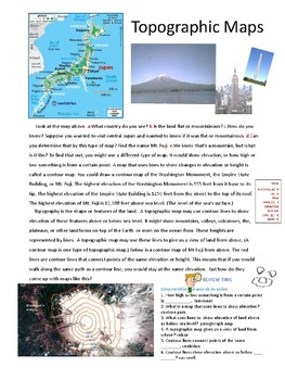
Play Doh Mountain - Topographic Maps -content reading, lab, and activities
Great resource for teaching topographic maps. Student-led lab…. constructing a playdough mountain and contour map. Reading content along with unscrambled words, a crossword puzzle and land feature/ contour map match for evaluation. Makes teaching topographic maps fun!
Vocabulary addressed:
Topography, contour map, topographic map, contour interval, elevation, depression, hachure line, v-shaped contour line, sea level.
Subjects:
Grades:
4th - 6th
Types:
Punch Ball Balloon Globe ~ Engineering Geography ~ STEM Challenge
Using a punch ball balloon, can your group create an exact model of a globe showing continents, oceans, and lines of latitude and longitude?
We are all about integration in my STEM building and blending social studies with STEM challenges is a great way to make the topics we study in social studies more engaging and interesting for the students. I am currently working on developing more of these social studies based STEM challenges. This one is focused on map skills and geography.
This engi
Subjects:
Grades:
4th - 6th
Types:
Also included in: American History PERSONALIZED STEM Bundle
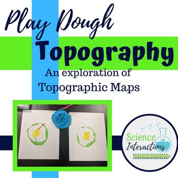
Topographic Maps Lab Activity with play dough
This is an hands-on exploration of topographic maps. Students build a mountain out of play dough, slice the mountain into layers, and use those layers to create a topographic map. This activity is very-engaging and students of all ability levels enjoy it. This lab is especially good for students who struggle with abstract thinking. This lab packet contains teacher demonstration instructions, a student sheet, answer sheet, and recipe for homemade dough.Please check out many of my products in acti
Subjects:
Grades:
4th - 9th
Types:
4-ESS2-2 Latitude and Longitude Lab Activity | Printable, Digital & Editable
About SNAPs Lab Stations ActivitiesSNAPs Lab Stations Activities require students to use science, math, literacy, problem-solving and engineering skills. They are designed to enhance students' understanding of scientific concepts and help students apply scientific ideas to the real world. Each station activity promotes skills so to develop students into proficient and competent scientific thinkers.SNAPs lab activities have five components:• Science Skills Station to develop science skill profici
Subjects:
Grades:
3rd - 6th
Types:
NGSS:
4-ESS2-2
Also included in: Earth Science Lab Stations Bundle | Printable, Digital & Editable
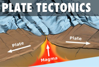
Tectonic Plate Boundaries CONVERGENT DIVERGENT TRANSFORM Worksheets Webquest Lab
Your students will learn about Earth's layers, different plate boundaries and explore how our planet's plates move and collide. This lesson plan has a PowerPoint Presentation, chart to fill out type worksheet, types of plate boundaries map identification activity, webquest, lab AND study guide! It's all in this resource! This is a super packed lesson plan with tons of resources to tap into. The lesson plan covers the following topic:•Review of the Layers of the Earth and Convection Currents•Typ
Subjects:
Grades:
4th - 10th
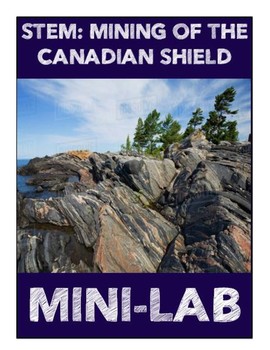
Mining of the Canadian Shield Mini-Lab
Aligns with the GEORGIA STANDARDS OF EXCELLENCE :SS6G6 – Explain the impact of environmental issues in Canada. b. Explain the causes and effects of the extraction of natural resources on the Canadian Shield (e.g., mining and logging).Students will need to have prior knowledge on the Canadian Shield and what it is. Using an M&M cookie, students will "mine" for different minerals found in the Canadian Shield. As each mineral is worth a different amount, so students become engaged and highly c
Grades:
4th - 8th
Types:
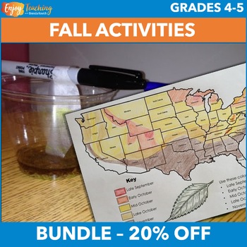
Fall Activities – Social Studies & Science Projects for Fourth & Fifth Grade
Two hands-on activities engage fourth and fifth grade students in social studies and science projects. Kids create fall foliage maps, conduct a chromatography lab, and learn how pigments in leaves change with the seasons. Open the previews to take a closer look at the fall activities bundle.Social Studies Activity – Fall Foliage Map ProjectStudents read a one-page informational text about pigments in leaves. Then they pinpoint causes and effects with a corresponding fall foliage worksheet.They c
Subjects:
Grades:
4th - 5th
Types:
Mapping Earth Lab Stations Bundle | Printable, Digital & Editable
SAVE 30% by purchasing ALL my Mapping Earth Lab Stations Activities!About SNAPs Lab Stations ActivitiesSNAPs Lab Stations require students to use science, math, literacy, problem-solving and engineering skills. They are designed to enhance students' understanding of scientific concepts and help students apply scientific ideas. Each station activity promotes skills so to develop students into proficient and competent scientific thinkers.SNAPs lab activities have five components:• Science Skills S
Subjects:
Grades:
3rd - 9th
Types:
NGSS:
4-ESS2-2
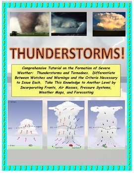
NWS and NOAA Approved! Forecasting: Severe Weather. You're the Weatherman
PROCEEDS BENEFIT "REACH INC."-EMPOWERING ADULTS WITH DISABILITIEShttp://www.reachinc.org-Southern Science Specialists - Chapel Hill, North Carolina-Severe Weather Forecasting: Learn How to Forecast Severe Weather With Real Maps, Data, and NWS Symbols.LOADED WITH COLORFUL IMAGES!Pairs great with the Air Masses and Thunderstorm PowerPoint found on TPT at the link below:CLICK HERE FOR POWERPOINTMore advanced severe weather lab manual and Skew-T tutorial found at the link below:CLICK HERE FOR LAB M
Subjects:
Grades:
4th - 9th, Higher Education, Adult Education
Types:
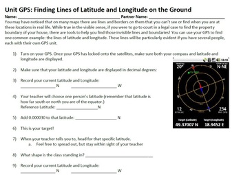
GPS in the Classroom - Complete Set of Lessons!
Want to teach your students about GPS, but don't know where to start? This lesson bundle is for you! Included in this package is a complete set of notes that explain in great detail the technical properties of GPS, and a series of activites that allow students from grades 4-12 explore GPS in fun and exciting ways that gets them out of the classroom and outside in nature. Students will learn about latitude and longitude, using waypoints, plotting courses, and using GPS in taking data samples.
T
Subjects:
Grades:
3rd - 12th
Types:
Nature Journal 5 Day Writing Activity
This resource is a five-day nature journal writing activity. This activity gets kids outside observing all of nature's wonders. It is also included in my Earth Day resource. Earth Day ResourceLook for these other related resources in my store:Science and Social Studies Word Wall BundleScience Word Wall and ActivitiesTropical Rainforest Reading Passage and Task Cards BundleTropical Rainforest Task CardsGlobes, Maps, Landforms and Continents BundleGlobes, Maps, Landforms, and Continents Activity C
Subjects:
Grades:
3rd - 8th
Types:
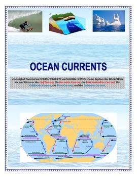
Oceans: Currents and Maps (Come EXPLORE Your World!)
INSERT YOUR NAME HERE! Magellan, Sir Francis Drake, John Cabot, Leif Eriksson, James Cook, Sir Walter Raleigh, Marco Polo, Vasco de Gama, and Columbus.This is a part of the complete ocean current tutorial/lab/activity found below:FULL VERSION CLICK HEREDiscover the Gulf Stream, the Kuroshio Current, the East Australian Current, the California Current, the Peru Current, and the Labrador Current.6 different mapping activities addressing similar content (ocean currents and global winds) in differe
Subjects:
Grades:
4th - 9th, Adult Education
Types:
Topographic Map Making from a 3D model
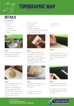
4 student activity sheets in total in A4 formatBackground information on the science experiment in regard to creating a topographic mapA list of the experiment materials needed (uses simple materials found in local shops, at home or in the classroom)The method on how to conduct the experimentReflection sheet with questions that determine student understandingIncludes both an Easel Activity version of this worksheet and an Easel Assessment.Student Activity sheets for your geology & natural di
Subjects:
Grades:
3rd - 6th
Types:
NGSS:
4-ESS2-2
Investigate Where Earthquakes Happen Lab Activity
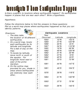
This is an activity that answers the questions: Is there a pattern to locations where earthquakes happen? Do earthquakes happen in places that are near each other? This activity involves writing a hypothesis and charting on a map various earthquake locations to come up with a conclusion to where earthquakes happen. This activity includes map and answer key.
***This item is also included in the Science CD that I sell separately which includes all of my Science digital products (power points
Subjects:
Grades:
3rd - 9th
Types:
Effects of Acid Rain-Inquiry Lab SS6G8.a
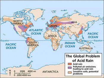
Reading Passage Acid Rain Lab - Chalk and Penny Observations and Conclusions Two Political Cartoons - analyze
Grades:
4th - 8th
Bridge Engineering Unit
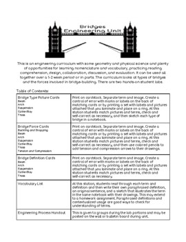
Use hands-on collaborative labs, vocabulary, and three-part cards to learn about types of bridges, tension, compression, loads, dissipation, buckling, and more. Great way to experience the engineering design process and have a rich STEAM experience. This comprehensive set of materials can be used as a complete unit or broken into separate activities. Includes two and three part term, image, and definition cards, vocabulary, two hands-on labs, and supplemental handouts. Can be used over a period
Subjects:
Grades:
4th - 8th
Types:
NGSS:
MS-ETS1-2
, 3-5-ETS1-3
, MS-ETS1-4
, 3-5-ETS1-1
, MS-ETS1-1
...
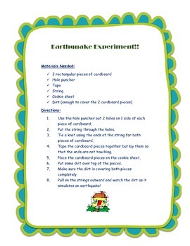
Earthquake Experiment
Make an earthquake using 2 pieces of cardboard, tape, string, & dirt!
Subjects:
Grades:
K - 6th
Types:
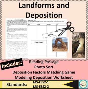
Deposition and Landforms Worksheets Earth's Surface Article and Photo Activity
Everything you need to teach landforms in a fun, out-of-the-box way is right here! Includes a reading passage that describes types of landforms formed by water, wind, and ice, and gravity, such as those found in caves, along coastlines, fans, valleys, and deltas. Also includes a photo sorting game where students look for evidence of which factor caused each landform to form. There is a matching game/worksheet that makes a fun review, group challenge, classwork, or homework assignment. Your stude
Subjects:
Grades:
4th - 9th
Types:
NGSS:
MS-ESS2-2
, MS-ESS2-1
, 4-ESS2-1
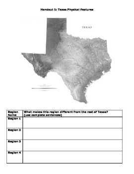
Natural Regions of Texas Map Lab
During this mapping lab lesson, students will make observations about the physical features, climate, and vegetation of Texas and will experience what it is like to decide boundaries for regions (an area of land with similar characteristics). Do not show or pre-teach the 4 natural boundaries of Texas before the lessons. Students will create their own 4 natural regions based on the maps they receive and then compare their maps to the actual map the state uses. Finally, they will evaluate the stre
Grades:
4th - 7th
Types:
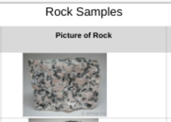
Digital Rock Classification Lab
Well, Covid... So I adapted an awesome rock classification lab into a digital one! The students still love guessing and checking, while using their newly found knowledge. ANSWERS***1 Granite rock sample 2 Basalt rock sample 3 Obsidian rock sample4 Sandstone rock sample5 Limestone rock sample6 Shale rock sample 7 Gneiss rock sample 8 Marble rock sample 9 Slate rock sample 10 Quarts rock sample
Subjects:
Grades:
4th - 12th
Types:
NGSS:
MS-ESS2-3
, MS-ESS2-1
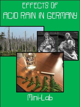
Acid Rain in Germany Mini Lab
Aligned with the NEW Georgia Standards of Excellence!
SS6G8 Explain environmental issues in Europe.
c. Explain the causes and effects of the nuclear disaster in Chernobyl, Ukraine.
With the push for STEAM/STEM across all subject areas, I have tried to incorporate more of these types of lessons in my social studies lessons!
I hope you find this "mini-lab" as engaging as mine do!
This lab will not take the entire class period but will occur over two days. I spent the last 15-20 min on Day On
Grades:
3rd - 8th
Types:
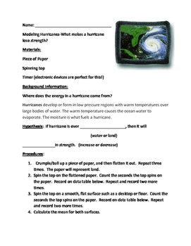
Modeling Hurricanes-What makes hurricanes lose strength?
Students are often puzzled as to why hurricanes lose their strength over land. In this lab, students will use tops and spin them over crumpled paper, representing land, and a smooth flat surface,such as the floor or desktop to represent the water. Students will record the time the spinner spins on each surface. This activity allows students to discover that moisture evaporating from the oceans affects weather patterns and weather events such as hurricanes. Students will also discover why bar
Subjects:
Grades:
4th - 8th
Types:
Showing 1-24 of 42 results


