4,077 results
4th grade geography handouts
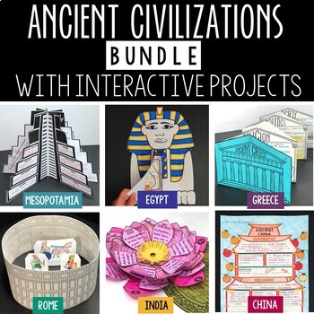
Ancient Civilizations Lessons, Activities, and Projects - Ancient History
This Ancient Civilizations Bundle includes 6 resources for teaching Mesopotamia, Ancient Egypt, Ancient China, Ancient India, Ancient Greece and Ancient Rome. Each resource includes learning activities to help students learn about each civilization’s geography, religion, achievements, politics, economy, and society. Designed to be engaging and interactive, these resources will make learning fun and exciting! Here’s a quick overview of each of the Ancient Civilization Resources: Ancient Mesopotam
Grades:
4th - 7th
Types:
CCSS:
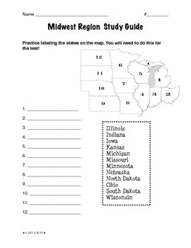
Regions of the United States: Midwest, Study Guide (5 Regions)
This is a 2-page study guide. It includes one page to help your students learn to label the Midwest states on a map. Also includes a page to help learn the state capitals and the state abbreviations.This is an activity that goes along with my resource, Regions of the United States: Midwest, Complete Unit (5 Regions)"The Midwest Region" is a 6-page packet that can be used as a "textbook chapter" when teaching about the five regions of the United States. In the Regions of the United States: Midw
Subjects:
Grades:
3rd - 6th
Types:
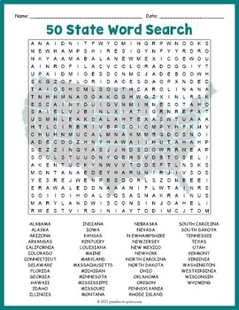
USA GEOGRAPHY Worksheet Activity - All 50 (Fifty) US States Word Search Puzzle
Review United States geography and have your students search for all 50 members of the Union with this challenging worksheet activity. Word search puzzles make great no prep activities for early finishers, bell ringers, morning work, handouts, homework, lesson plan supplements, sponge activities, introductions to new topics, and sub files.We consider this to be a challenging puzzle and it will require quite a bit of time to complete. Students will memorize the names of all fifty states withou
Subjects:
Grades:
4th - 7th
Types:
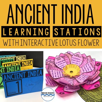
Ancient India Unit with Learning Stations and Interactive Project
This resource contains six ancient India learning stations that students can rotate through in small groups. Each learning station (or ancient history learning center) is designed to give students engaging and exciting learning experiences to practice, enrich, review, and enhance their learning. Students will visit each station with a small group and complete tasks and assignments. Check this out! Students will create a 3-D interactive lotus flower filled with their learning. They’ll add inform
Grades:
4th - 7th
Types:
Introduction to Maps, Map Reading, Topography, and Geography Unit
In this maps skills and introduction to map reading, map features, and basic geography, students are introduced to the common elements that all maps have and a variety of different map styles, including climate maps, political maps, physical maps, road maps, topographic maps, and economic and resource maps! ✮✮ This resource is now Google 1:1 compatible! ✮✮Students first learn about map titles, keys, the compass, and the scale, then are engaged with learning about the variety of different maps
Grades:
4th - 7th
Types:
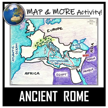
Ancient Rome Map Activity- Roman Empire (Label and Color!)
This Ancient Rome Map Coloring & Labeling Activity is a great resource to enhance your unit! Each student will make their own, personalized map of the Roman Empire, and learn about the geography and landmarks of the region. They will label and color their blank map, and answer follow-up questions related to the geography of Ancient Rome. A fun 'Make a Travel Brochure' project has also been added. It is a great way to connect this map activity to your lesson on Ancient Rome! A link to Goo
Grades:
4th - 11th
Types:
CCSS:
Also included in: Ancient Civilizations / World Maps BUNDLE- Color & Label Activities!
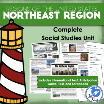
Regions of the United States: Northeast, Complete Unit (5 Regions)
Your students will enjoy reading this complex informational text about the Northeast region, home of the largest city, the smallest state, and our nation's capital. Find out what makes the Northeast an interesting and unique region.This unit includes printable options only. If you would like a digital option using Google Drive, check out my Northeast Region Digital Only for Distance Learning with a Google Slides version of the reading text and questions, and a self-grading Google Forms version o
Subjects:
Grades:
3rd - 6th
Types:
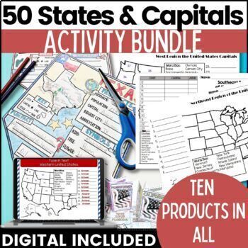
50 States and Capitals Bundle Map Print & Digital Resource 50% OFF
Everything you need (and more) to teach the 50 States and Capitals Help your upper elementary & middle school students learn the 5 regions of the United States with printable assessments and activities, digital Boom Cards, digital self correcting Easel assessments and Google map activities. This product will help you teach, review, and assess your students. You save 40% When you purchase all 10 products as a bundle!Bundle Includes:50 States and Capitals Test Printouts (includes Easel self co
Grades:
4th - 6th
Types:
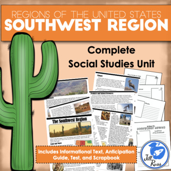
Regions of the United States: Southwest, Complete Unit (5 Regions)
Your students will enjoy reading this complex informational text about the Southwest region, home of the giant saguaro cactus, the Hoover Dam, and the Grand Canyon. This unit includes printable options only. If you would like a digital option using Google Drive, check out my Southwest Region Digital Only for Distance Learning with a Google Slides version of the reading text and questions, and a self-grading Google Forms version of the unit test, or get the bundle with both printable and digital
Subjects:
Grades:
3rd - 6th
Types:
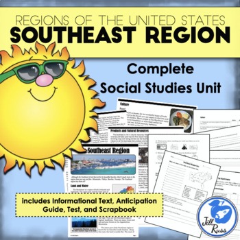
Regions of the United States: Southeast, Complete Unit (5 Regions)
Your students will enjoy reading this complex informational text about the Southeast region. There's more to the Southeast than just sunny beaches! Find out what makes the Southeast an interesting and unique region.This unit includes printable options only. If you would like a digital option using Google Drive, check out my Southeast Region Digital Only for Distance Learning with a Google Slides version of the reading text and questions, and a self-grading Google Forms version of the unit test,
Subjects:
Grades:
3rd - 6th
Types:
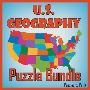
No Prep US Geography - Regions of the USA Word Search & Map Worksheet BUNDLE
Use this bundle of fun puzzles to help students learn the names and locations of all fifty states. Each US geography worksheet concentrates on one of five regions and includes three activities. First students must unscramble the names, then place them on the map, and finally find them in a word search.We've divided the states into the five following regions: ✔ Western ✔ Mid-Western ✔ North Central ✔ North Eastern ✔ South EasternUse these worksheets to review US geography with th
Subjects:
Grades:
4th - 7th
Types:
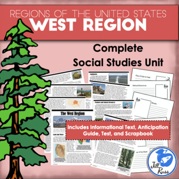
Regions of the United States: West, Complete Unit (5 Regions)
Your students will enjoy reading this complex informational text about the West region, from the cold frozen tundra of Alaska to the sunny beaches of Hawaii and California.This unit includes printable options only. If you would like a digital option using Google Drive, check out my West Region Digital Only for Distance Learning with a Google Slides version of the reading text and questions, and a self-grading Google Forms version of the unit test, or get the bundle with both printable and digita
Subjects:
Grades:
3rd - 6th
Types:
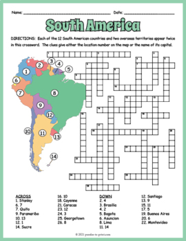
SOUTH AMERICA GEOGRAPHY Crossword Puzzle & Map Worksheet Activity
Help students review and learn the names, locations and capitals of the 12 South American countries and two overseas territories with this crossword worksheet. Each location's name appears twice in the puzzle. The clues give either the location's number as noted on the included map or the name of its capital. Crossword puzzles make great no prep activities for early finishers, bell ringers, morning work, handouts, homework, lesson plan supplements, sponge activities, introductions to new topi
Subjects:
Grades:
4th - 7th
Types:
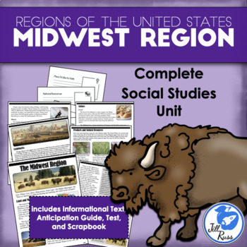
Regions of the United States: Midwest, Complete Unit (5 Regions)
Your students will enjoy reading this complex informational text about the Midwest region. Discover what makes the "Heart of America" a unique place.This unit includes printable options only. If you would like a digital option using Google Drive, check out my Midwest Region Digital Only for Distance Learning with a Google Slides version of the reading text and questions, and a self-grading Google Forms version of the unit test, or get the bundle with both printable and digital options.Each regio
Subjects:
Grades:
3rd - 6th
Types:
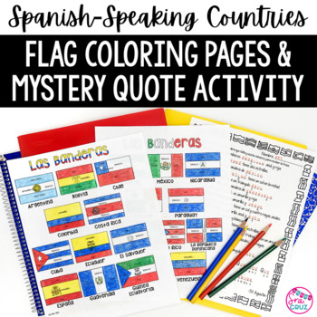
Spanish Speaking Countries Flags Worksheets Spanish Colors Coloring Pages
These coloring pages practice Spanish colors using flags of Spanish-speaking countries. Line versions of each flag have the color in Spanish for each section of the flag (rojo, blanco, azul, etc.) It also includes a mystery phrase activity in basic Spanish using clues about each flag. Ex. La bandera de Colombia es ___, azul, y roja. The answers help solve the secret phrase which is a quote about travel. The answer key for the mystery phrase page is included.These can be copied front and bac
Subjects:
Grades:
4th - 12th
Types:
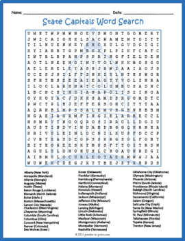
FIFTY (50) US STATE CAPITALS Word Search & Find Worksheet Activity
Challenge your sharp-eyed kids with this printable state capitals word search handout perfect for a fun homework assignment. This worksheet makes a great supplement to U.S. geography lessons and unit plans you may already have. Word search puzzles make great no prep activities for early finishers, bell ringers, morning work, handouts, homework, lesson plan supplements, sponge activities, introductions to new topics, and sub files.Students are given a list of the states along with the capital,
Grades:
4th - 7th
Types:
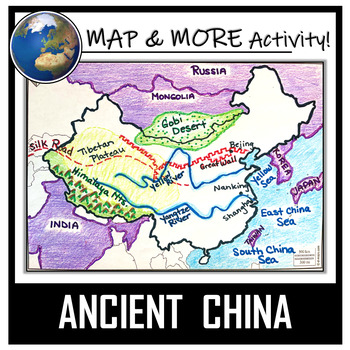
China Map Activity- Ancient China (Label and Color!)
This China Map Coloring & Labeling Activity is a great resource to enhance your unit! Each student will make their own, personalized map of the Chinese Empire, and learn about the geography and landmarks of the region. They will label and color their blank map, and answer follow-up questions related to the geography of China. A fun, 'Make a Travel Brochure' project has also been added. It's a great way of connecting your lesson on China to this map activity! In addition, this activity ha
Grades:
4th - 10th
Types:
CCSS:
Also included in: Ancient Civilizations / World Maps BUNDLE- Color & Label Activities!
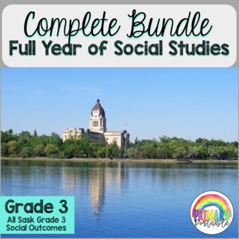
Gr. 3 Social Studies YEAR BUNDLE- All Saskatchewan Gr. 3 SS outcomes
I have combined all of the following mini-units for each of the SK Grade 3 Social Studies outcomes into one bundle. This is all that you will need to cover your Social Studies for the entire year. Each mini unit includes information pages, activities, worksheets, video links and unit quiz. The units are also available to be purchased individually or in smaller bundles of the 3 connected outcomes. - Representations of Earth (SK outcome DR3.1)- Geography and Societies (SK outcome DR3.2)- Livin
Grades:
2nd - 4th
Types:
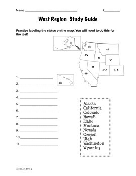
Regions of the United States: West, Study Guide (5 Regions)
This is a 2-page study guide. It includes one page to help your students learn to label the West states on a map. Also includes a page to help learn the state capitals and the state abbreviations.This is an activity that goes along with my resource, Regions of the United States: West, Complete Unit (5 Regions)"The West Region" is a 6-page packet that can be used as a "textbook chapter" when teaching about the five regions of the United States. In the Regions of the United States: West, Complet
Subjects:
Grades:
3rd - 6th
Types:

Kente Cloth Designs and Meanings
Recently I did an "Art Around the World" Unit and fell in love with Kente Cloth from Ghana. My 3rd graders made Kente Cloth and we used this handout to create their pieces! There are 20 designs featured here and each design's meaning is included as well. Each design and color is full of meaning and symbolism. By the end of the project your students will have Kente Cloth full of meaning. This handout is simple and easy to read. I know your students will love it!
EmilyGlassSC@gmail.com
Subjects:
Grades:
2nd - 7th
Types:
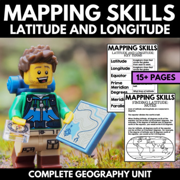
Mapping Skills And Activities - Latitude Longitude Maps and Globes - Geography
Mapping Skills and Activities for Geography featuring Latitude and Longitude! For these geography activities, students practice mapping skills while learning about latitude and longitude in a fun and engaging way. A variety of fun mapping activities are included - use these latitude and longitude activities for your upcoming geography unit or mapping unit! The included activities would make a great addition to a geography interactive notebook!This activity includes the following latitude and lon
Grades:
1st - 4th
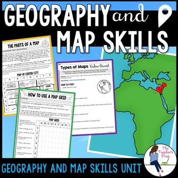
Geography and Map Skills Activities
Engage your students in learning the fundamental basic tools of geography and map skills with these no-prep printable activities! Students will learn about the parts of a map, how to use cardinal directions, how to use a map grid, how to use a map scale and the characteristics of different types of maps! The start of a new school year is the perfect time to teach students mapping skills or refresh their memories on skills they've learned in the past! These activities require no prep - just print
Subjects:
Grades:
4th - 6th
Types:
CCSS:
Also included in: Geography and Map Skills Unit Bundle
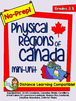
No-Prep Physical Regions of Canada Mini-Unit - Distance Learning Compatible
This no-prep pack comes with information and reading comprehension questions about the 8 Physical Regions of Canada - *The Appalachians*Arctic Lowlands*Canadian Shield*Cordillera*Great Lakes-St. Lawrence Lowlands*Hudson Bay Lowlands *Innuitian Mountains*Interior Plains.The pack includes:-Full colour map of the 8 physical regions-Introduction page with black and white map of Canada's 8 Physical Regions-A worksheet for each region including a map of Canada with the region highlighted, information
Grades:
3rd - 5th
Types:
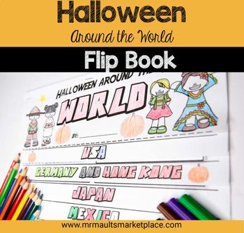
Halloween Around the World Flip Book - History & Reading Activity for Grades 3-6
Engage your 3rd, 4th, 5th, and 6th grade students in social studies lessons with this interactive Halloween Around the World Flip Book! In this resource, students will learn about the history of Halloween, as well as many other October Celebrations around the world! Students will read engaging stories and facts about Halloween and other spooky holidays in Germany, Japan, Ireland and more to create this fun History Flipbook! Halloween Around the World Flip Book - History & Reading Activity In
Subjects:
Grades:
2nd - 5th
Types:
Also included in: Mini Halloween Math Bundle- 3 Activities to Engage Your Students
Showing 1-24 of 4,077 results


