28,000+ results
4th grade geography activities
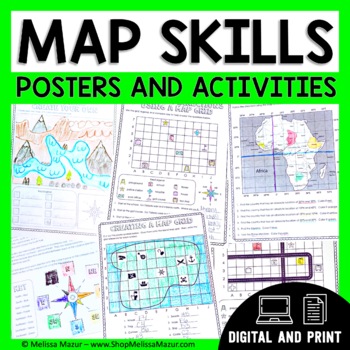
Map Skills Unit - Maps & Globes Activities - Types of Maps
This no-prep map skills unit includes both vocabulary reference posters and activity pages on many different topics. These activities are an engaging way for students to develop their skills and practice reading maps. *UPDATE* You can now share this with your students digitally!This resource was created using Google Slides. You must have a Google email for use. Each section can be assigned in Google Classrooms. It is ideal for distance learning. I also include the print file so you can have a
Grades:
2nd - 4th
Types:
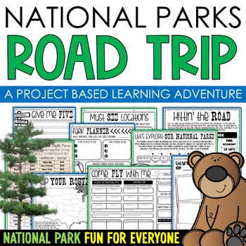
National Parks Research Road Trip PBL Project Based Learning Writing Math
Do you love our National Parks and want to find a way to integrate reading, writing, math, critical thinking, and problem-solving skills in a fun, real-life context into your lessons? Consider using project-based learning in your classroom! In this PBL unit, students can plan a road trip to the national parks with their families, while also creating a realistic budget for their vacation.One of the benefits of this project-based learning unit is that it allows for student choice and personalizati
Subjects:
Grades:
3rd - 6th
Types:
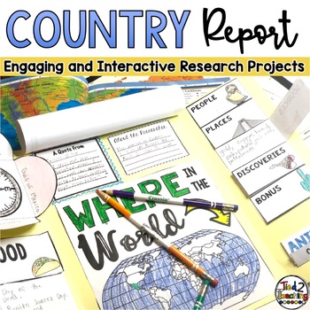
Country Study Report & Country Research Projects Countries Around the World
Are you working on a country study in your classroom? Completing a country research project for one of the many amazing countries around the world can be such a great way to open your students eyes to the diversity of countries, peoples, and cultures around the world. This fun, fresh and engaging country report resource is the perfect DIFFERENTIATED way to meet each student where they are and guide them as they present their research on countries around the world. Complete with 32 countries from
Grades:
2nd - 5th
Types:
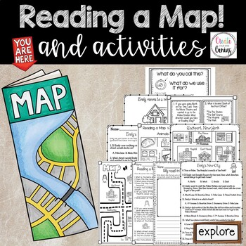
Map Skills- Reading a Map and Activities
✅⭐️Are you studying maps in your primary classroom? If so, then you will love this all inclusive NO PREP set! Not only does it go over cardinal directions and how to read a map, it also reviews parts of a map such as the map key, title, and compass rose. It is a perfect lesson to include in your social studies geography unit!⭐Please know that this resource is a PDF. It is great for distance learning if you are sending home packets or are able to transfer it to Google Slides™ to use in Google Cla
Subjects:
Grades:
K - 5th
Types:
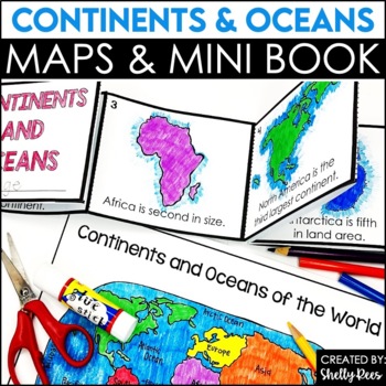
Label Continents and Oceans Activities | Blank World Map Printable 7 Continents
Students LOVE learning about the Continents and Oceans of the World with these fun hands-on activities, including a 7 continents mini-book, blank world map, coloring pages, and even a label continents and oceans quiz. This NO PREP packet is easy for teachers and engaging and hands-on for students!Please click on the preview button above to take a look at everything included.This resource includes:7 Continents Mini-BookColoring Pages/Posters of Each ContinentBlank World MapLabeled World MapPost-U
Subjects:
Grades:
2nd - 5th
Types:
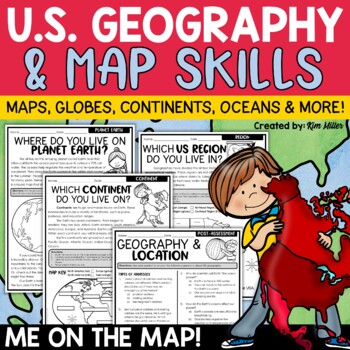
US Geography Map Skills | Maps and Globes, Continents, Oceans, Me on the Map
Do your students struggle with general map skills, their location on a map or globe, or naming our continents and oceans? This popular U.S. geography and map skills packet will help your students master these mapping skills and more with ease. Fun for students and super helpful for teachers!This United States geography and map skills resource provides an easy and fun way for students to develop a better understanding of where they live in the world, as well as key geography skills and concepts.
Subjects:
Grades:
3rd - 5th
Types:
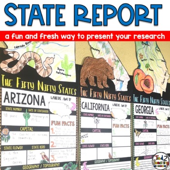
State Reports Research Project Template | Informational Report Writing | Report
These State Report Information Report Pennant Banners come with 50 amazing pennants for displaying your research project on one of the fifty nifty United States. Perfect for any time of the year, these pennants are a great way to supplement your social studies instruction as well as help your students organize their research. Save time by integrating your social studies and ELA instruction! In addition to being excellent informational organizers for your students, these state pennant banners a
Subjects:
Grades:
3rd - 5th
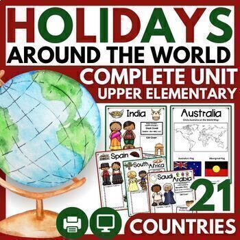
Christmas and Holidays Around the World Upper Elementary Passages, Map Skills
THE MOST COMPREHENSIVE HOLIDAYS AROUND THE WORLD UNIT WITH 21 CELEBRATIONS! ⭐ "Very engaging for my 3rd-5th graders, and perfect for the weeks leading up to Christmas break. There are so many resources here that I didn't even get to use all of them in class, but it was great because I could pick and choose what would be most meaningful for my students. I loved the research pages for students to do their own research on a country, and my students had a lot of fun with that!"⭐ 2023 BONUS: 5 HOLIDA
Grades:
3rd - 6th
Types:
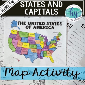
50 States and Capitals Map Activity with printable worksheets & digital map game
Do your students need to know the state capitals and the location of each state on a map? This engaging map set for the 50 states and their capitals will guide your students through labeling a blank map and learning the capitals. Print and digital options plus access to online self-checking map and flashcards let you easily customize the lesson to best fit the needs of your students. Students will label a blank map of the United States with the names of the 50 states and then record the capital
Subjects:
Grades:
4th - 10th
Types:
Also included in: American History Map Activities Bundle for U.S. History Units & Lessons
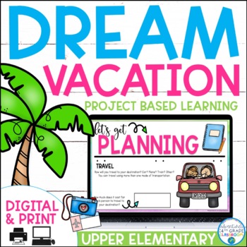
Dream Vacation End of Year Project
Planning a vacation has never been so fun! In this cross-curricular project, students will plan, budget, and journal about their "dream vacation". They will pull skills from math, language arts, and social studies and work with their group members to complete the project.This is a great resource for distance learning and includes an update in which students plan their "dream vacation" for just them (not a small group). In the resource, you will find a 23-page packet to guide students while pla
Subjects:
Grades:
3rd - 6th
Types:
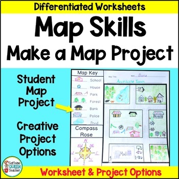
Map Skills Make Your Own Map Project with Map Worksheets and Map Activity
Create your own map using this fun, creative activity to learn about reading maps. Students love designing maps with towns, cities, parks, and islands. They complete practice worksheets and create their maps. This project based learning activity is a hands-on way to interact with maps.You receive:4 map worksheets - becoming progressively more difficult2 compass rose pages for students to complete (choose the level you need)6 different "Make Your Own Map" project pages to choose from3 differentia
Grades:
2nd - 4th
Types:
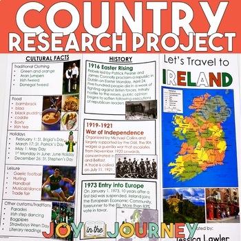
Country Research Project (Print & Digital)
Send your students on a world-wide tour with this print-and-go Country Research Travel Brochure Project! This fun and engaging project includes everything you need to assign the travel brochure, stay organized, guide the students in their research, and assess the final projectDownload includes:Brochure Sample Country Research Project Instructions“My Country Choices” – 4 per page (give one to each student)Student Country Choices Tracking SheetTravel Brochure Layout DirectionsResearch Log Student
Grades:
4th - 6th
Types:
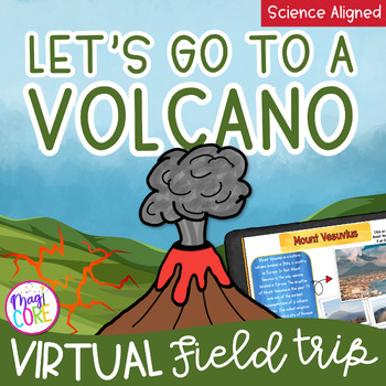
Virtual Field Trip to a Volcano Digital Resource Activity Google Seesaw WebLink
✈️ Explore a Volcano without leaving the classroom. In this Virtual Field Trip to a Volcano activity, students will travel across Earth's continents and oceans to explore several famous volcanoes. Students will learn about how volcanoes form, learn about volcanoes around the world, and explore the different types and shapes of volcanoes. This field trip to a volcano packs a lot into a fun ~45 minute activity. This volcano virtual field trip comes in Google Slides, Seesaw, and our innovative Magi
Subjects:
Grades:
2nd - 5th
Types:
NGSS:
2-ESS1-1
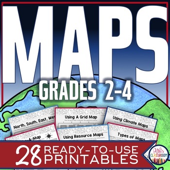
Map Skills Worksheets - Types of Maps, Cardinal Directions, Scale, Reading Maps
This pack of activities for Grades 2 - 4 includes 28 pages of thoughtfully designed printables to engage your students while they practice these basic concepts. You’ll find these ready-to-use pages to be easy to implement and thorough in scope. This resource includes opportunities for your students to acquire information from a variety of maps, to use map elements including the compass rose and scale, and to create their own maps within a defined (and easy to use) set of directions. There’s j
Grades:
2nd - 4th
Types:
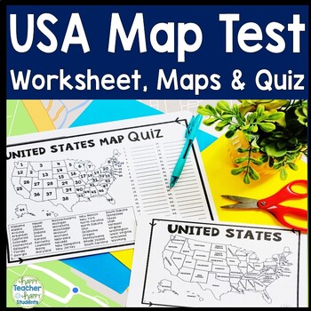
United States Map Quiz & Worksheet, USA Map Test w/ Practice Sheet, US Map Quiz
United States Map Test: Easy-to-read US Map Quiz and Practice Sheet will help students learn to correctly identify and locate all 50 states. This product also includes a labeled USA Map in full & half-page design and blank USA map for practice. Learning how to correctly identify all 50 states on a map of the United States is a critical skill for students of all ages.US Map Quiz (US Map Test) is ready to print-and-go to test knowledge of the USA Map and 50 states. This map of the United State
Grades:
2nd - 8th
Types:
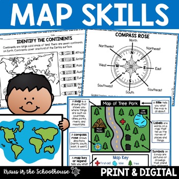
Map Skills Activities and Worksheets Maps Globes Landforms Continents & Oceans
Make learning fun for your students when teaching map skills. Map skills topics include maps, globes, continents, oceans, landforms, water forms, suburban, urban, rural, directions, and more. This resource is perfect for second, third, and fourth grade students. Digital activity included using Easel by TpT.These activities can be used during whole group instruction, independent work, and center time. Easy-to-use activity sheets with clear directions and answer keys are provided.HERE'S WHAT YOU'L
Grades:
2nd - 4th
Types:
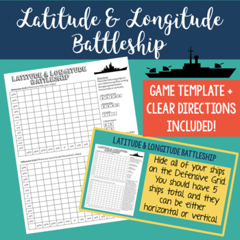
Latitude and Longitude Battleship Game - Map Skills Geography Activities
Help your students practice their latitude and longitude skills in a fun and engaging way using this no-prep latitude and longitude battleship game! The directions are included right on the template, so this is a no prep activity that comes ready to play. I've also provided PowerPoint directions so you can show students how to play as a class. Students will become well-practiced with using a grid and making sure they always give latitude coordinates first. I've used this every year and my studen
Grades:
4th - 8th
Types:
Also included in: Latitude and Longitude Practice Puzzle Review Activities Bundle
Seven Continents & Five Oceans Unit: Slide Shows, Reading, Activities, & More!
Need an easy to use comprehensive resource for the major landmasses and oceans of the world? This social studies unit is packed full of facts, features, differentiated reading passages and comprehension questions, a research 3D globe craft, a collaborative poster for your hallway display, and much more to help you bring the seven continents and five oceans to life! Find everything you need all in one place!Click the Preview to View MoreThis unit includes:Continents Facts & Features Slide Sho
Grades:
1st - 5th
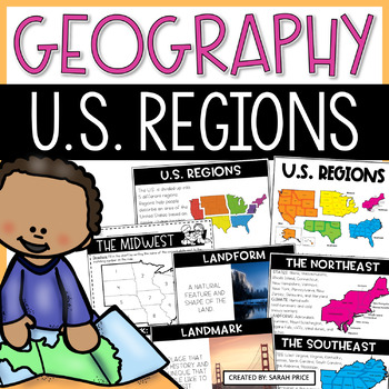
US Geography Worksheets | 5 Regions of the United States Lessons and Activities
Your students will love learning about the 5 regions of the United States with this jammed pack US Geography resource! This resource is filled with everything you need to teach your upper elementary students about the regions of the United States in a fun and meaningful way. Your students will learn that each of the US regions have similar characteristics like climate, landforms, culture, history, and landmarks. This unit includes easy to follow lesson plans, hands-on foldable to use on their o
Subjects:
Grades:
2nd - 4th
Types:
Trip to Mexico Power Point and Activities Pack | Cinco De Mayo Activities
Have a great time learning about Mexico with this fun Power Point and Activities Pack. Both PowerPoint and Google Slides versions are included. It's the perfect activity during Cinco De Mayo, the last week of school, or for some Friday fun! Your class will be introduced to the geography, language, culture, and food in Mexico. The PowerPoint is packed with colorful, real photos. And a variety of activities are included to help your students reflect on what they've learned. Be sure to read the tip
Subjects:
Grades:
K - 6th
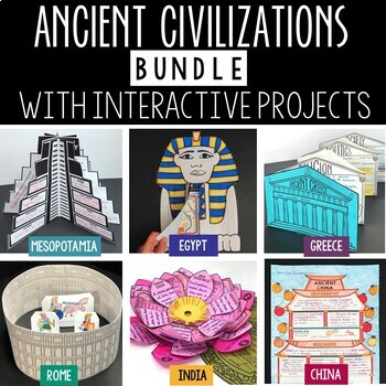
Ancient Civilizations Lessons, Activities, and Projects - Ancient History
This Ancient Civilizations Bundle includes 6 resources for teaching Mesopotamia, Ancient Egypt, Ancient China, Ancient India, Ancient Greece and Ancient Rome. Each resource includes learning activities to help students learn about each civilization’s geography, religion, achievements, politics, economy, and society. Designed to be engaging and interactive, these resources will make learning fun and exciting! Here’s a quick overview of each of the Ancient Civilization Resources: Ancient Mesopotam
Grades:
4th - 7th
Types:
CCSS:
Create A Country Social Studies Project For End of the Year Geography Map Skills
A BEST SELLER! Have students create a country with this activities pack! A fun end of the year social studies project and a great way to review geography and map skills all at the same time! Students can use the country checklists and organizers to guide them as they work on creating their own country project.With activities about:cultureflag factclimateshousing natural resourcesagriculturetransportationschoolsand more!This is a great way to enhance and reinforce student's geography, cultural, a
Grades:
3rd - 5th
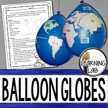
Geography - Balloon Globes - World Maps
World Geography can be boring for students but you can make it FUN! Your kiddos will LOVE creating their own globe using a balloon and cut-outs.This set includes: Student materials list and directions, detailed continent shapes, more broad continent shapes (easier cutting), compass graphic, continent labels, ocean labels, North Pole labels, reference map of the world. Balloon Suggestion (affiliate link): 12"latex balloons (100 count), Royal BlueDon't want to use a balloon? Some teachers hav
Subjects:
Grades:
3rd - 6th
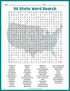
USA GEOGRAPHY Worksheet Activity - All 50 (Fifty) US States Word Search Puzzle
Review United States geography and have your students search for all 50 members of the Union with this challenging worksheet activity. Word search puzzles make great no prep activities for early finishers, bell ringers, morning work, handouts, homework, lesson plan supplements, sponge activities, introductions to new topics, and sub files.We consider this to be a challenging puzzle and it will require quite a bit of time to complete. Students will memorize the names of all fifty states withou
Subjects:
Grades:
4th - 7th
Types:
Showing 1-24 of 28,000+ results


