10 results
Adult education geography laboratories
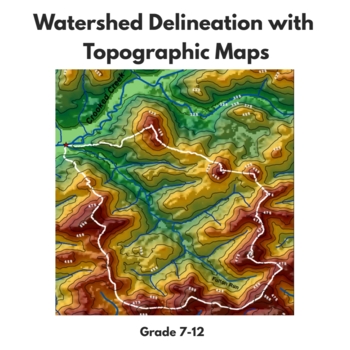
Watershed Delineation with Topographic Maps
In this activity, students will learn to delineate watersheds using topographic maps. The activity starts with students answering questions from the USDA article titled "How to Read a Topographic Map and Delineate a Watershed." They will then use their knowledge from these questions to delineate the Fulton Run watershed, located in Indiana, Pennsylvania. There are two topographic maps included in the product - one for more advanced learners and one for less advanced learners. The map for less ad
Subjects:
Grades:
7th - 12th, Higher Education, Adult Education
Types:
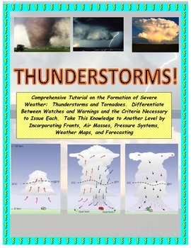
NWS and NOAA Approved! Forecasting: Severe Weather. You're the Weatherman
PROCEEDS BENEFIT "REACH INC."-EMPOWERING ADULTS WITH DISABILITIEShttp://www.reachinc.org-Southern Science Specialists - Chapel Hill, North Carolina-Severe Weather Forecasting: Learn How to Forecast Severe Weather With Real Maps, Data, and NWS Symbols.LOADED WITH COLORFUL IMAGES!Pairs great with the Air Masses and Thunderstorm PowerPoint found on TPT at the link below:CLICK HERE FOR POWERPOINTMore advanced severe weather lab manual and Skew-T tutorial found at the link below:CLICK HERE FOR LAB M
Subjects:
Grades:
4th - 9th, Higher Education, Adult Education
Types:
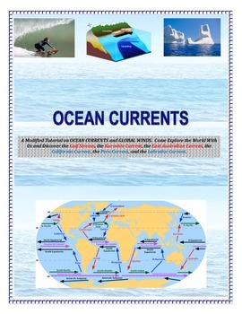
Oceans: Currents and Maps (Come EXPLORE Your World!)
INSERT YOUR NAME HERE! Magellan, Sir Francis Drake, John Cabot, Leif Eriksson, James Cook, Sir Walter Raleigh, Marco Polo, Vasco de Gama, and Columbus.This is a part of the complete ocean current tutorial/lab/activity found below:FULL VERSION CLICK HEREDiscover the Gulf Stream, the Kuroshio Current, the East Australian Current, the California Current, the Peru Current, and the Labrador Current.6 different mapping activities addressing similar content (ocean currents and global winds) in differe
Subjects:
Grades:
4th - 9th, Adult Education
Types:
Overfishing AKA "Tragedy of the Commons" - Science in the Environment Lab Series
Why do we have hunting and fishing catch regulations? Why does the government regulate logging and farming industries? The concept of overutilization or “the tragedy of the commons” is fundamental to our modern society. The purpose of this activity is to model resource management, and how regulations and private ownership make resource management possible.
If you like the activity, be sure to rate it!
This is part of a series of activites on Science in the Environment from Mr. Ripps.
This wor
Subjects:
Grades:
7th - 12th, Higher Education, Adult Education
Types:
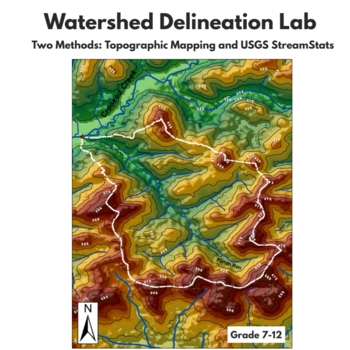
Watershed Delineation Lab - Topographic Mapping and USGS StreamStats
In this two part-lab, students will learn two techniques for delineating watersheds. In the first half of the lab students will answer questions about the article "How to Read a Topographic Map and Delineate a Watershed" from the USDA. These questions have students demonstrate the knowledge learned in the article in order to introduce or refresh topographic mapping skills. Then, students will put their knowledge to the test by using a topographic map of Indiana, Pennsylvania to delineate the Ful
Subjects:
Grades:
7th - 12th, Higher Education, Adult Education
Types:
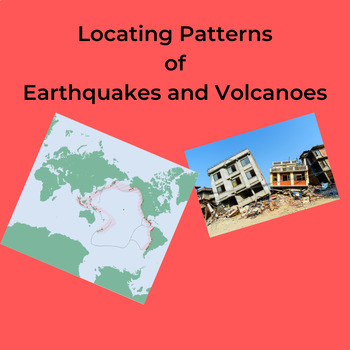
Locating Patterns of Earthquakes and Volcanoes
The students carefully plot, with colored pencils, the location of selected Earthquakes and Volcanoes on a world map showing Divergent and Convergent Plate Boundaries. Page 5 of the NYS Earth Science Reference Tables is needed for this lab. These can be downloaded at: https://www.nysed.gov/state-assessment/reference-tables-earth-science The students further shade in the Plate Boundaries using different colored pencils. Several questions about the plotted map reinforce the idea that Earthqua
Subjects:
Grades:
6th - 12th, Higher Education, Adult Education
Types:
Also included in: Worksheets: Plate Tectonics Bundle
Worksheet: World/NYS Latitude and Longitude Lab
Students determine the Latitude and Longitude of world and NYS locations on an a map of NYS, and further determine the distance between several cities in NYS.Please note: You will need Page 3 and 5 of the NYS Earth Science Reference Tables as the students will draw gridlines on them.If you don't have the Reference tables they can be downloaded free at:https://www.nysed.gov/sites/default/files/programs/state-assessment/earth-science-reference-tables-english-2011.pdfCustomer Tips: How to get TPT c
Subjects:
Grades:
7th - 11th, Higher Education, Adult Education
Types:
Environmental Stewardship Fieldwork Project, (Independent Study Unit Guidelines)
This package is a detailed set of guidelines that steers senior science, environmental science and geography students through the process of writing a formal environmental stewardship report (or a environmental consultants report). It is best used as a end of year or term project, and treated as a 2 - 3 week independent Unit (roughly 10-15 hours of class time).The process takes students on an environmental journey mimicking that of work professionals.1. Identifying an Environmental Problem2. C
Subjects:
Grades:
9th - 12th, Higher Education, Adult Education
Types:
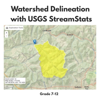
Watershed Delineation with USGS StreamStats
In this activity, students will learn an automated technique for watershed delineation using the StreamStats web tool from USGS. They will delineate the Fulton Run watershed in Indiana, Pennsylvania and answer 10 post-lab questions about the characteristics of the basin from the StreamStats report. This product does require that students have access to a laptop and internet connection.If you like this activity, you should know that it is also a part of the larger lab in my store in which student
Subjects:
Grades:
7th - 12th, Higher Education, Adult Education
Types:
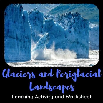
Physical Geography: Glaciers and Periglacial Landscapes Learning Activity
This learning activity highlights and examines different types of glaciers, glacial features, and highlights the landforms that are a part of periglacial landscapes around the world. Questions include visual identification of glacial/landform features, topographic map identification, matching, short answer, and long answer questions.The learning activity consists of 6 pages/25 questions.
Subjects:
Grades:
10th - 12th, Higher Education, Adult Education
Types:
Showing 1-10 of 10 results


