289 results
4th grade geography lectures
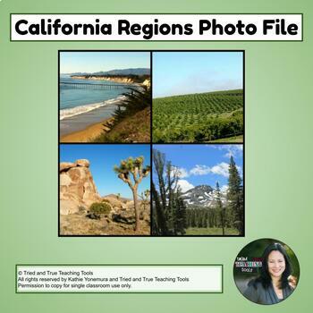
California Regions Photo File
This complete set of 49 gorgeous full-screen photos of California's four geographic regions is the perfect supplement for teaching visual vocabulary and California geography! Photographed by Tried and True Teaching Tools, these photos enhance student understanding! Includes information slide to teach about each region. More than just pictures!-Activate schema-Create photo dictionaries or vocabulary cards for English learners-Create sorting activities and matching gamesCA Regions Photo File:Coast
Subjects:
Grades:
4th
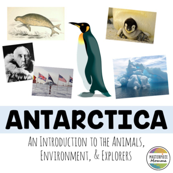
Antarctica: An Introduction to the Animals, Environment, and Explorers
Students will learn about animals, plants, the weather, environmental concerns, and famous explorers of Antarctica in this slideshow. You can use this slideshow at the beginning of a unit on Antarctica. You can also print it out and use it as a book for student research. This slideshow also has 4 questions at the end of the slideshow to review what students have learned. This download comes as a PDF file and is NOT editable as a PDF. However, you can open this slideshow in the TPT EASEL program
Subjects:
Grades:
1st - 6th
Also included in: Mega Country Bundle: Introductions to the Art, Culture, Sights, and Food
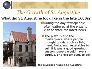
4th Grade Florida History Gr 4 St Augustine Fort Mose Castillo de San Marcos SS
This PowerPoint teaches what St. Augustine was like when it was first settled in the late 1600s. This includes the governor's house, the plaza, shops & services, the dock and goods, the fort Castillo de San Marcos, Coquina, and Fort Mose.
Grades:
3rd - 6th
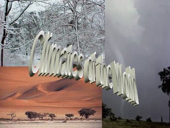
Climate, an Introduction- World Geography
This is a very good introduction to climate and weather. In 26 slides, there is good information on sun/earth relationship, what affects climate, what causes seasons, and the major climates of the world. There are great visuals and information along with directions to create a climate brochure located at the end of the PowerPoint presentation (you would have to create the rubric). This would be perfect in a general science class or world geography.
Grades:
3rd - 11th
Also included in: World Geography (Physical Geograpy) Google Slides
World Geography Bundle!
Included in this bundle is the entire semester/year of curriculum which correlates with HMH's "World Geography". YOU DO NOT NEED TO USE THE BOOK TO TEACH THIS RESOURCEI have hand made all of these resources over 4 years, and condensed the chapter. This unit is ideal for Middle School/High School, and can take anywhere from one semester to two depending on the age and level of your students.All of the resources will be shared through Google Drive. To keep access to this file you MUST MAKE A COPY
Grades:
4th - 10th
Types:
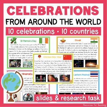
Celebrations and Traditions from Around the World - Informational Posters/Slides
Take a trip around the world as we discover some of the celebrations and traditions from around the world! This resource includes 23 informational slides filled with pictures, informational passages and interesting facts about 10 unique celebrations. This is a wonderful resource for students learning about celebrations and commemorations in Australia and the world in Human Society and Its Environment (HSIE) (History and Geography) lessons. (ACHASSK065)This resource also includes a research task
Grades:
1st - 6th
Types:
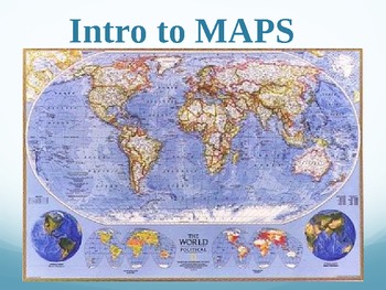
Maps, an Introduction- World Geography PPT
This is a 28 slide PPT presentation that covers map fundamentals (types of maps, types of map projections, elements on a map and so forth). Great visuals and information provided. This would work well as an introduction to maps in a world geography class or any other basic social science class.
Subjects:
Grades:
3rd - 11th
Also included in: World Geography (Physical Geograpy) Google Slides
Dominican Republic - Global Studies - Reading, Activities, Slides & Digital INB
Global Studies content are geography deep dives in a country of the world. The content is written at three different reading levels for enrichment or remediation. From social media profiles to digital interactive books this is an all-in-one solution to bring students on a trip around the world. And any new creations for this event will be added to the bundle.In a Global Studies activity set you will receive:◈Google Slide Editable Presentation with Queued Videos◈Google Slide Interactive Book with
Subjects:
Grades:
K - 12th
Types:
Inuit PowerPoint: Native Americans and Survival in the Arctic
This PowerPoint is sure to promote discussion and interesting conversations in the classroom about the history and lifestyle of the Inuit people. This PowerPoint is a great intro to a unit on the Arctic, Inuit, or Native Americans in general. The 40 slides help students visualize the following topics:Tool use in the Arctic Arctic Clothing Transportation in the ArcticHunting in the ArcticHousing in the ArcticPlease check out my Native American lesson plans.Great Native American Lesson Plan Collec
Subjects:
Grades:
K - 12th
Geography - Interactions With the Environment PowerPoint
I use this presentation when teaching about human interactions with the environment. It covers the topics of physical and human features, adaptation and modification, rural, urban and suburban, and natural, renewable and nonrenewable resources.
Thumbnails do not show formatting. Please use preview.
Keywords - geography, social studies, features, land, adaptation, modification, resources, nonrenewable, renewable, natural, urban, rural, suburban, consequences, environment, new teacher, PowerPoi
Subjects:
Grades:
3rd - 8th
The Regions of Canada - PowerPoint Presentation
The Regions of Canada: People and Environments
This comprehensive 66-slide PowerPoint presentation introduces students to the political, cultural, and physical (geographical) regions of Canada.
Preview file available for download.
Grades:
4th - 10th
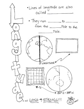
Cartoon Notes for Map Skills-Longitude
Visual notes for learning map skills...I call them 'Cartoon Notes!' These notes are a hit in my classroom, as they tie in visual learning with note-taking. I use these in my classroom to introduce, reinforce, and review with my students. Enjoy!
This is the page for teaching 'Longitude." Make sure you search for the page on 'Latitude' as well!
Subjects:
Grades:
3rd - 9th
Five Themes of Geography Movement
This powerpoint covers the movement portion of the five themes of geography. It discusses what movement looks like for people, ideas, goods, and animals with lots of pictures. It also includes an activity to track a dollar as it moves through the United States. There is a movement activity at the end that I have also posted in my shop! Please leave feedback!
Grades:
4th - 9th
Map Skills PowerPoint
This presentation introduces students to basic map skills. It covers physical maps, political maps, map legend, compass rose, scale, grid system, and latitude and longitude.
Keywords: geography, elementary, middle school, map skills, latitude and longitude, vocabulary, PowerPoint, presentation, social studies, new teacher
Map Skills PowerPoint by Shari Hassell is licensed under a Creative Commons Attribution-NoDerivatives 4.0 International License.
Subjects:
Grades:
3rd - 6th
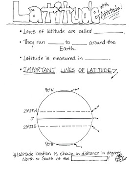
Cartoon Notes for Map Skills-Latitude
Visual notes for learning map skills...I call them 'Cartoon Notes!' These notes are a hit in my classroom, as they tie in visual learning with note-taking. I use these in my classroom to introduce, reinforce, and review with my students. Enjoy!
This is a page for teaching 'Latitude.' Please see the 'Longitude' page too!
Subjects:
Grades:
3rd - 8th
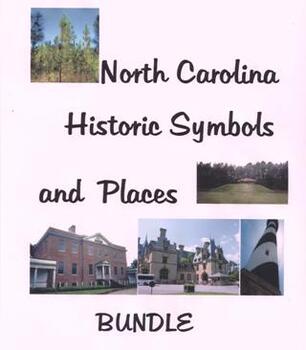
North Carolina History: Symbols and Places Bundle
This product includes 4 NC Powerpoint presentations created by Cheryl Gourley. The topics cover NC essential standards from historic symbols, NC lighthouses, famous statues and buildings, plus a visitor's guide to the capital city of Raleigh.
Grades:
4th - 6th
NYS Geography Unit Slides
Included is a week-long Unit Plan for all 5 lessonsThese pair with the NYS Geography Lesson Plans I have on TPTAll the instructions and visuals for the activities are included along with important information that must be covered in the 4th-grade Geography StandardsWhen paired with or without the lesson plans/materials it is a cohesive unit plan that has suited a 4th-grade class of 15Packed with visuals, information, and embedded linksStudents may use the slides as a source of information when c
Grades:
4th
Types:
Also included in: NYS Geography Unit - 5 Lessons, Activities, Slides, and Project Plan
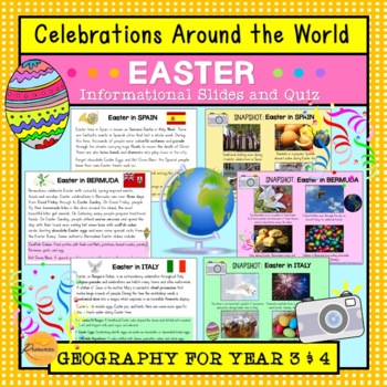
Celebrations Around The World: Easter
This resource introduces children to Easter traditions around the world in counties that include: Spain, Italy, Ethiopia, Bermuda, Australia, Germany and Greece. Learn about people celebrate Easter with their families, friends and communities through special events and traditional foods during this annual occasion. We have included plenty of photographs and amazing facts to engage your students! Additionally, we have included 10 multiple choice quiz questions to check their understanding. Wonder
Subjects:
Grades:
3rd - 4th
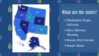
United States Regions Presentations Bundle
This product gives information about each region of the United States, including maps, photographs, & information pertaining to each state of each region. There are five presentation files included for each region along with descriptions of each state. If you like this product, please go to my "It's A Vaughnderful Classroom" to check out other creative products or download a FREEBIE of the Northeast region to preview.
Grades:
2nd - 7th
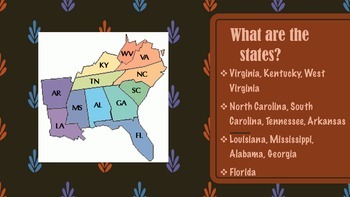
Southeast Region of the United States Presentation
This product gives information about the Southeast Region of the United States, including maps, photographs, & information pertaining to each state of the region. If you like this product, please go to my "It's A Vaughnderful Classroom" to check out the whole bundle and other creative products.In my store are presentations of each of the five regions including: the West, Midwest, Southeast, Southwest, and Northeast regions.
Grades:
2nd - 7th
Five Themes of Geography Region
This product is a mini-lesson for the region theme of the five themes of geography. It describes all three types and includes a short activity at the end.
Check out the full activity in my shop!
Feel free to leave feedback!
Grades:
4th - 9th
Introduction to United States Geography - PowerPoint Presentation Lesson
The United States Geography PowerPoint consists of 28 colorful slides. Topics include: absolute and relative location, geographers tools, Unites States boundaries and borders, states, territories, commonwealths, and military bases.The information for each slide is translated in Spanish and Italian. Translations are courtesy of Google Translate and are located in the notes section of slide.Enjoy!SharhanStop by enagelearnability.com for more resources.Follow Engage Learnability on social media.F
Subjects:
Grades:
4th - 12th
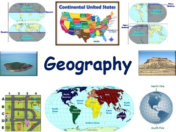
Geography Lesson - study guide, state exam prep 2023-2024
Have fun learning the world’s continents and oceans. What's the equator? What's the prime meridian? Become an expert in using maps. Learn all the parts to maps, (title, legend, symbols, etc.). Have fun finding things on maps! Learn to identify certain land and water features while exploring world of geography!Our lessons and flashcards are developed using concepts and information that are universal in nature and applicable to any state in the country. You can even use them to prepare for state
Grades:
3rd - 5th
Types:
Trinidad & Tobago - Global Studies - Reading, Activities, Slides & Digital INB
Global Studies content are geography deep dives in a country of the world. The content is written at three different reading levels for enrichment or remediation. From social media profiles to digital interactive books this is an all-in-one solution to bring students on a trip around the world. And any new creations for this event will be added to the bundle.In a Global Studies activity set you will receive:◈Google Slide Editable Presentation with Queued Videos◈Google Slide Interactive Book with
Subjects:
Grades:
K - 12th
Types:
Showing 1-24 of 289 results


