2,118 results
4th grade geography independent work packets
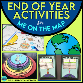
End of the Year Craft Activity Last Week of School Me on the Map Skills Review
Looking for an End of Year Craft Activity to Review Map Skills? Want a Last Week of School Writing Project? This Me on the Map flip book and summer writing pages are perfect for 1st, 2nd, 3rd or 4th grade students!This Maps and Globes activities pack has 8600+ POSITIVE REVIEWS and is the original & most highly-rated Me on the Map Project Activity Bundle on TpT. Teach map skills with crafts, printable worksheets, flip books & a nesting circle craftivity for the book by Joan Sweeney.It wil
Subjects:
Grades:
1st - 5th
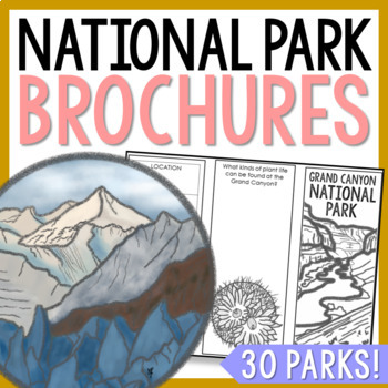
NATIONAL PARK Research Projects | USA American Landmarks Report Activities
This bundle of 30 national park brochure projects is a fantastic way for your students to explore a huge variety of landscapes across North America. Each no-prep activity can be completed in a few different ways. You can provide your students with the information to fill out their brochures, or have them find the information through Internet research. If your students are inexperienced with Internet research, guide them through the process by projecting a search that you lead. NPS.gov and Britta
Grades:
3rd - 8th
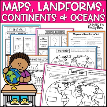
Maps & Globes Continents Oceans Map Skills Worksheet World Map Activity Landform
Interactive Notebooks are a wonderful tool for providing hands-on experiences for learners. This Maps, Continents, and Landforms Interactive Notebook is no exception! The packet is easy to use for both student and teacher. ✅ Click HERE to SAVE 20% on this resource with the Maps, Continents, and Landforms unit and poster bundle!✅ Click HERE to SAVE even more by buying ALL 15 Social Studies Interactive Notebooks and Mini Units in one Year-Long Bundle.Click on the PREVIEW button above to see all t
Grades:
3rd - 5th
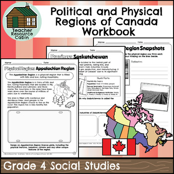
Political and Physical Regions of Canada Workbook (Grade 4 Social Studies)
This workbook covers the Grade 4 Political and Physical Regions of Canada unit in the current 2018 Ontario Social Studies curriculum (People and Environments).In this workbook, students will learn about various aspects of Canada's political and physical regions. They will explore political regions through maps, cardinal directions, and individual provinces and territories, including their flags and key facts. The workbook also covers physical regions, such as the Canadian Shield, Great Lakes-St.
Grades:
4th
Also included in: Grade 4 Ontario Social Studies Workbook Bundle
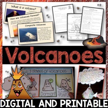
Volcanoes Complete Pack - Printables, Editable PowerPoint, Interactive Notebooks
This Volcano Unit is exploding with a variety of printables, Diagrams, Interactive notebooks, and a 100% editable PowerPoint.*Also includes digital access via Google Slides.What’s included in the pack: (Answer keys are included.) • PowerPoint Review Sheet• Volcanoes Reading Comprehension• Label the parts of a volcano • Volcano Labeled Diagram • 3 Stages of a Volcano Poster (8.5” x 11”) – Active, Dormant, and Extinct• Cinder Cone, Composite, and Shield Volcanoes Posters (1 of each)• Types of Volc
Subjects:
Grades:
3rd - 6th
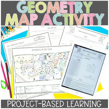
Map Skills | Project Based Learning | Geometry | Printable & Digital | Google
Have your students demonstrate their understanding of many different math concepts while designing a map of their own town! This hands-on math activity is a project that will definitely engage your students.Check out the preview for more details!Objective: To demonstrate an understanding of geometric terms and measurement. Students will be designing and drawing a map that will incorporate many mathematical concepts.The following concepts will be covered through this project-based learning activi
Subjects:
Grades:
2nd - 5th
Also included in: Project Based Math Activities BUNDLE
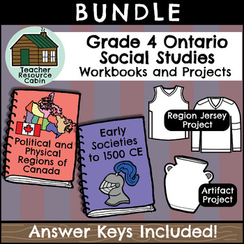
Grade 4 Ontario Social Studies Workbook Bundle
This BUNDLE contains TWO independent Social Studies workbooks and TWO design projects for Grade 4 students, as well as Maps of Canada to Colour and Label. Each workbook meets the Ontario Curriculum expectations for an ENTIRE Grade 4 Social Studies unit. Both Grade 4 Social Studies units are included: Physical and Political Regions of Canada and Early Societies to 1500 CE. Together, the workbooks total up to 135 pages of student worksheets! Full Answer Keys are included. Each project has a 3 or 4
Grades:
4th
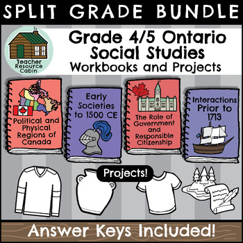
Grade 4/5 Social Studies Workbooks (Ontario Curriculum)
This BUNDLE contains FOUR independent Social Studies workbooks for Grade 4/5 students and FOUR Social Studies projects/activities.Each workbook meets the Ontario Curriculum expectations for an ENTIRE Social Studies unit. All Grade 4/5 Social Studies units are included.Grade 4: Political and Physical Regions of Canada, Early Societies to 1500 CEGrade 5: The Role of Government and Responsible Citizenship, and Interactions of Indigenous Peoples and Europeans prior to 1713, in what would eventually
Grades:
4th - 5th
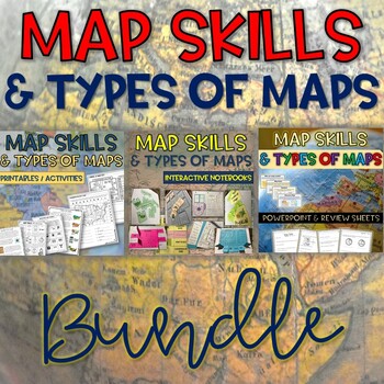
Map Skills & Types of Maps BUNDLE- Printables, PowerPoint - Distance Learning
Map Skills and Types of Maps Bundle: Everything you need to teach the unit! This bundle includes interactive notebooks, printables and activities, and a 100% editable PowerPoint with review questions. Your students will have fun learning all about the map elements (title, compass rose, legend, map scale, coordinate grid), the different types of maps (climate, political, physical, road, resource) and more vocabulary such as symbols, cardinal and intermediate directions, latitude, longitude, equat
Subjects:
Grades:
3rd - 5th
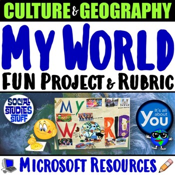
My World Culture and Geography Project | FUN Cultural PBL Activity | Microsoft
Students showcase their own unique cultures and geography with this fun “My World” project. First, a brainstorm activity challenges them to consider how cultural influences and geographical factors have shaped their lives. Then, they design creative and informative posters all about their WORLDS! Guided slides help you explain the project and a fill-in rubric makes grading easy. This project-based learning activity promotes cross-cultural understanding and students love decorating their globes w
Grades:
4th - 10th
CCSS:
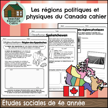
Les régions politiques et physiques du Canada (Grade 4 FRENCH Social Studies)
This FRENCH workbook covers the Grade 4 - Les régions politiques et physiques du Canada (Political and Physical Regions of Canada) unit in the Ontario Études sociales (Social Studies) curriculum (People and Environments). In this workbook, students will learn about various aspects of Canada's political and physical regions. They will explore political regions through maps, cardinal directions, and individual provinces and territories, including their flags and key facts.The workbook also covers
Subjects:
Grades:
4th
Also included in: MEGA BUNDLE: Grade 4 Ontario FRENCH Social Studies Full Units
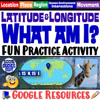
FUN Latitude Longitude Practice Activity | Geography Location Clues | Google
Students & teachers LOVE this digital “What am I?” activity! Challenge your class to use latitude & longitude coordinates to plot the locations of mystery animals on a world map. Then, they read clues & try to guess what animal lives at each absolute location. This activity integrates science & social studies curriculum and keeps your students highly engaged. Your purchase has print & interactive, digital versions of the materials. Made for traditional in-class learning or di
Subjects:
Grades:
4th - 8th
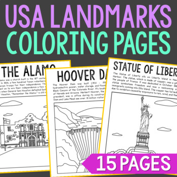
USA LANDMARKS Coloring Pages Activity | Bulletin Board Decor Posters
Set of 15 Famous USA Landmarks with Informational Text Coloring Pages or Posters. Makes a great addition to history interactive notebooks, biography projects, or research units. Keep these in your early finisher folder for no-prep fun.CLICK HERE to save 30% on this resource in the American Landmarks Bundle!Famous USA Landmarks Included: The AlamoCloud GateEmpire State BuildingFreedom TowerGateway ArchGolden Gate BridgeThe Grand CanyonHollywood SignHoover DamLas Vegas StripMount RushmoreSpace Nee
Grades:
2nd - 5th
United States Scavenger Hunt Internet Task Cards with Maps
United States Scavenger Hunt Handout and Internet Task Cards. Includes a fun fill-in-the-blank geography hunt of the United States, five U. S. maps, and 30 task cards for exploring the internet. On the scavenger hunt sheet, students will need to use a US map (included) and will have to use their map skills to answer the questions. There are 30 blanks worth 3 points each, and one bonus question. Answer Key included. Also includes 30 internet task cards and a recording sheet. Digital Resource an
Subjects:
Grades:
4th - 6th
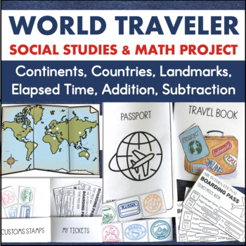
7 Continents Country Research Project 3rd Grade Elapsed Time Social Studies Maps
This is a research-based learning project that integrates social studies, math, and writing. To complete this project, students will go on a world tour of six different countries around the world. Through their travels, they will learn the location of these countries along with important facts. To get to each destination, students must use their budgeted money to buy plane tickets. They will:use subtraction with regrouping to calculate how much money is left after each purchase determine the len
Subjects:
Grades:
3rd - 4th
Also included in: Travel Project Bundle Country Research PBL STEM Challenges
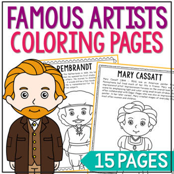
FAMOUS ARTISTS Coloring Pages | Famous Artist Worksheets | Art History Activity
Set of 14 Famous Artists with Informational Text Coloring Pages or Posters. Makes a great addition to history interactive notebooks, biography projects, or research units. Keep these in your early finisher folder for no-prep fun.CLICK HERE to save 25% on this resource in the Famous Artists Bundle!FAMOUS ARTISTS INCLUDED:Vincent Van GoghSalvador DaliRembrandtRaphael SanzioPablo PicassoMichelangeloJackson PollockHenri MatisseGeorgia O'KeeffeFrida KahloClaude MoneyAuguste RenoirAndy WarholMary Cass
Grades:
2nd - 5th
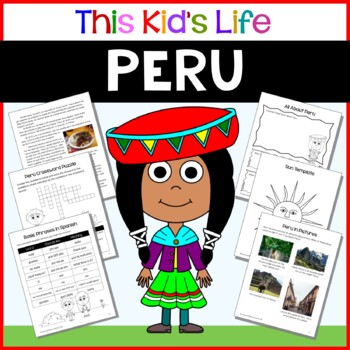
Peru Country Study: Reading & Writing + Google Slides/PPT Distance Learning
Have you ever wondered what it would be like to live in Peru?Learn what it might be like to be a kid in Peru through the eyes of a Peruvian girl named Mayra. Students will see what it’s like to attend school in Peru, what food they might eat, what sports they might play, and what they might do with their families for fun on weekends. Great for distance learning, and for celebrating Hispanic Heritage Month and Latinx history and culture!Included in This Kid's Life: Peru:A letter from Mayra to you
Grades:
1st - 6th
Types:
Also included in: Around the World Mega Bundle - 92 countries - 50% Discount
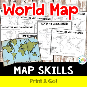
LABEL MAP OF THE WORLD: Continents, Oceans, Mountain Ranges! NO PREP!
Your students will love learning about mountain ranges, oceans, and continents with this engaging, no prep reading activity! This is perfect for adding literacy to your social studies curriculum because it’s academically-aligned for ELA and for social studies. Plus, it’s so easy to use that you can even leave it for sub plans or homework packets!Resource Includes: Label Map with Word Bank (Continents, Oceans, and Mountain Ranges)Color Map (Continents, Oceans, and Mountain Ranges)Cut and Paste (C
Subjects:
Grades:
K - 4th
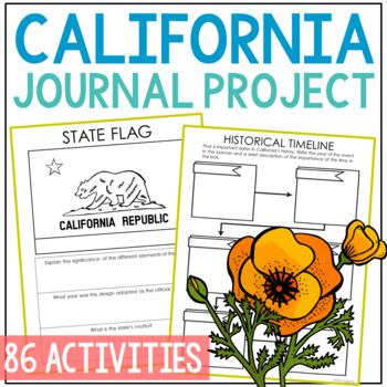
CALIFORNIA State History Research Project Activity | Social Studies Worksheets
Save tons of prep time with this comprehensive CALIFORNIA state history research project that's perfectly suited for independent work. You'll find 8 organized modules with 86 differentiated student pages. This complete notebook unit is the perfect companion to your annual state studies. Your students will use the internet to research a variety of topics to include: economics, government, geography, politics, current events, higher education, weather, historical figures, Native Americans, state s
Grades:
4th - 7th
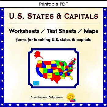
U.S. States & Capitals Maps, Worksheets, Assessments - U.S. Geography Practice
Teach the U.S. states and capitals easily with this set of U.S. maps, worksheets and assessments. This resource can be used independently or to supplement other U.S. states and geography curriculum. Perfect for both classroom and homeschool!Includes: Reference list of all the states with their capitalsBlack and white Map of the U.S. with states and capitals labeledBlank map of the U.S. for practiceColor map of the U.S. with states labeledPractice sheets to match the state with the capitalTest s
Grades:
4th - 7th
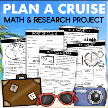
PLAN A CRUISE Vacation Country Research Project 4th Grade Addition Elapsed Time
This Plan A Cruise learning experience lets students become travel agents and design a fun-filled vacation for their classmates. They will use important skills like research, planning, time management, budgeting, and organization to create their one-of-a-kind trip. Each page in their cruise plan book requires students to use academic skills to plan their trip of a lifetime.To complete this project, students will work through the following activities:WORDS TO KNOWThis page includes important word
Grades:
3rd - 4th
Also included in: 4th Grade Math Projects The End of the Year Plan A Cruise & Plan A Party
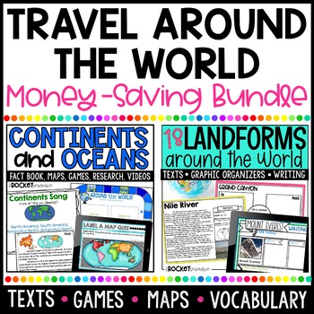
7 Continents Printable | Continents and Oceans Activity | World Landform BUNDLE
Teach your students all about the world with this informative geography bundle! Continents and Oceans Mini-Unit and Earth's Famous Landforms units are combined to teach your students about the world around them. You will love all the kid-friendly informative texts included as well as the games, graphic organizers, vocabulary practice, and writing activities!Earth's Landforms UnitLet's visit landforms around the globe! Take students on an adventure to visit 18 of the world's most famous landforms
Subjects:
Grades:
2nd - 4th
50 States Comprehension Passages {Print & Go}
<--See my 50 States Category Link over to the left side of my store for more 50 States products!See preview for one state and the two questions pages, notice they are the same except the RAPP instructions. This is what will be included for ALL 50 states, making up 150 pages.FREE SAMPLEThis set of reading comprehension passages includes FIFTY reading passages, plus short answer comprehension questions for each passage. There are 5 short answer questions and one longer response question for eac
Grades:
2nd - 5th
Also included in: 50 States Bundle
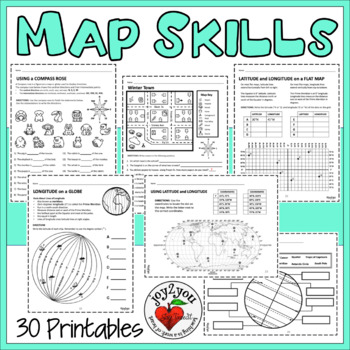
MAP SKILLS UPDATED Worksheets 30 Page Comprehensive Unit
COMMENTS FROM BUYERS: ❤️ I found these resource pages a great way to reinforce what the students were learning in class. It gave them a great hands-on experience after reading difficult text. Thanks so much!❤️This is a really great option to use for in-class work! My students seemed to really enjoy the practice involved here and it kept them busy and thinking about the questions they were trying to answer. Thanks!❤️I was able to create stations from this resource to help students reinforce not
Grades:
3rd - 6th
Showing 1-24 of 2,118 results


