2 results
Geography word walls for Easel

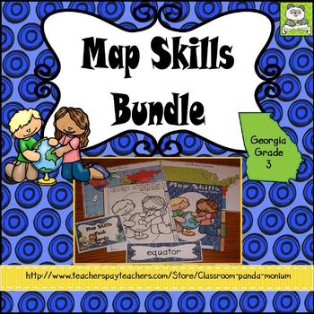
Map Skills Georgia Grade 3 (Task Cards Included) Meets New GSE's
This bundle is ideal for Georgia third grade teachers teaching US Rivers (St. Lawrence, Hudson, Ohio, Mississippi, Rio Grande, and Colorado), US Mountain Ranges (Rocky Mountains and Appalachian Mountains), Equator, Prime Meridian, and Lines of Latitude and Longitude. The set addresses all the Map Skills standards for third grade social studies GSE's SS3G1-SS3G2.Click Here to Save 30%!Topics include:Major Rivers-Mississippi, Ohio, Rio Grande, Colorado, St. Lawrence, and HudsonMountain Ranges-Rock
Subjects:
Grades:
3rd
Types:
Also included in: Georgia Third Grade Social Studies BIG Bundle (Meets New GSE's)

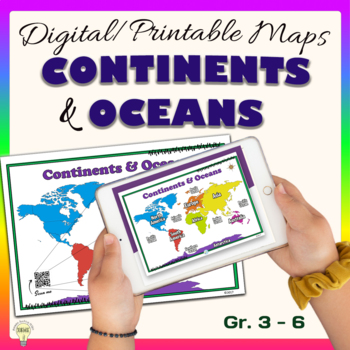
Continents and Oceans World Maps Poster Digital & Printable Handouts+ Boom Cards
"Continents and Oceans" is a set of digital and printable world maps and the individual continent maps: Europe, Asia, Africa, Australia, North America, South America, and Antarctica maps. It is perfect for traditional classroom settings, 1:1 schools, or distance learning in your Science and/ or Social Studies classrooms. These diverse maps are an excellent way to supplement your existing Science and/ or Social Studies curriculum. In no way it is intended or designed to replace it. It is about gi
Subjects:
Grades:
1st - 12th
Types:
Also included in: Social Studies United States Geography US History Growing BUNDLE
Showing 1-2 of 2 results


