162 results
Geography lessons for Easel
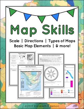
Map Skills Package
This package contains a variety of handouts, worksheets, a lesson idea, and an activity to help teach students map skills such as scale, cardinal and intermediate directions, types of maps (planimetric, thematic, topographic), and basic map elements (legend, title etc.)
Contents
Welcome
Teaching Guide (3 pages)
Latitude, Longitude, and Directions: The Orange Lesson
Latitude Labeling Worksheet Option 1 (label)
Latitude Labeling Worksheet Option 2 (trace)
Cardinal and Intermediate Directions Han
Grades:
3rd - 6th
Types:
Also included in: Map Skills Bundle: activities, worksheets, crafts, posters + more
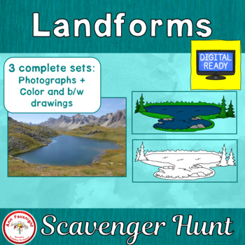
Landforms Scavenger Hunt + Free BOOM Cards
With this scavenger hunt students will gain knowledge of landforms, while practicing naming them. The scavenger hunt is provided in three formats; with photographs, color illustrations, and black/white illustrations. Two formats for student use with the scavenger hunt cards are now included; a questions sheet and a crossword puzzle. Directions for Use1. Print the Landforms Scavenger Hunt cards on card stock then cut them apart. Laminate for durability if desired. 2. Make copies of the Landforms
Subjects:
Grades:
3rd - 5th
Types:
Also included in: Landforms Bundle
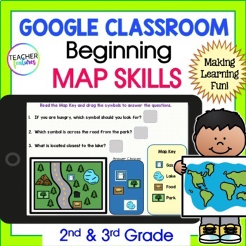
MAP SKILLS & GEOGRAPHY Vocabulary Activities 2nd 3rd Grade GOOGLE SLIDES & EASEL
Discover the world & learn geographical terms with Google Slides MAP SKILLS and GEOGRAPHY Activity set! This interactive resource contains 15 Google Slides and 14 EASEL Pages full of map and geography vocabulary. This resource also includes four interactive vocabulary pages, four interactive map term and icon pages, and six interactive maps and questions to promote greater understanding and memorization. Included vocabulary: Gulf, River, Lake, Plain, Valley, Peninsula, Mountain, Island, Ocea
Grades:
2nd - 4th
Types:
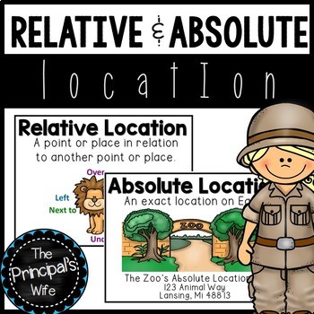
Absolute and Relative Location
This geography unit was created to cover the concepts of absolute and relative location. The fun zoo themed activities will help engage your students in the standard being covered.
This lesson is a part of my geography bundle.
To download the bundle, click here!
What’s Included?
1. Word Wall Posters
- Absolute and Relative Location posters that include definition and visual
examples.
3. Welcome to the Zoo! Relative Location Activity and Teacher
Call Out Sheet
4.
Subjects:
Grades:
1st - 2nd
Types:
Also included in: Geography Bundle
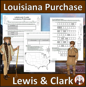
Louisiana Purchase - Lewis and Clark Expedition
Here is a fun and engaging activity about Lewis and Clark and the Louisiana Purchase. Your students will be answering comprehension questions about the famous expedition through the Louisiana Territory. They will be using their map skills to complete a map of the area at the time in the United States.The purpose of this activity is for students to show their understanding of the impact of Lewis and Clark's expedition through the Louisiana Territory and beyond.Here is what you'll get in this 3-pa
Grades:
5th - 8th
Types:
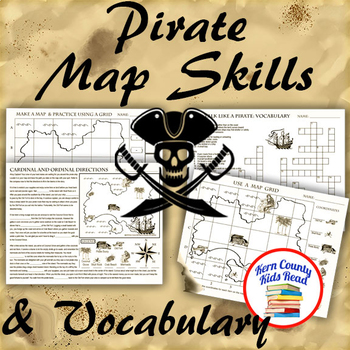
Pirate Map Skills: Grid Coordinates, Cardinal & Ordinal Directions, Symbols
Teach and strengthen coordinate grid math, geography mapping skills like map symbols and cardinal and ordinal directions with a compass rose, and new vocabulary with these pirate themed printable worksheets. These are fun mini-lesson activities for Talk Like A Pirate Day on September 19th or if you have a pirates themed unit. Cardinal directions and coordinate grid mapping are important introductory skills to mastering latitude and longitude map skills and being able to use an atlas. Coordinate
Subjects:
Grades:
3rd - 6th
Also included in: Pirates Thematic Unit Study Bundle: Talk Like A Pirate Pack!
Geography—World Religions: A Comparison Study on Judaism, Christianity, & Islam
An engaging and interesting comparison of the three great present-day monotheistic world religions: Judaism, Christianity, and Islam. (INCLUDES EASEL ACTIVITY)Bundle & Save Here World Religions BundleTHIS LESSON INCLUDES:World Religions Chart (Student Notes)World Religions Chart (Teacher Guide)Venn Diagram (Student Notes)Venn Diagram (Teacher Guide)Aesthetic & Interesting Informational Handouts on Judaism, Christianity, and IslamTeacher Instructions (Lesson detail Introduction and Proced
Grades:
5th - 12th, Higher Education, Adult Education
Also included in: Bundle for Katrina- World Religions
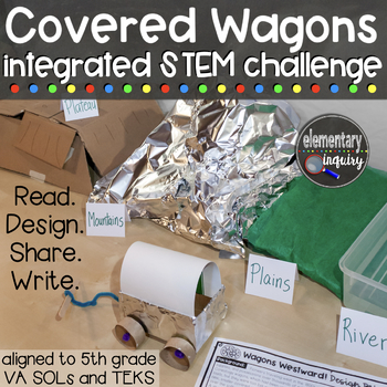
Covered Wagons and Geography of the Oregon Trail Integrated STEM Challenge
Students will read about the design of prairie schooners and engineer covered wagons that can traverse a model of landforms representing the overland trails used by pioneers. This mini-unit integrates STEM skills with geography and history content, along with reading, writing, and oral communication standards. Several options for sharing student work via oral presentations and writing assignments are included. These 8 sessions are designed to follow or supplement classroom instruction on US geog
Subjects:
Grades:
5th - 6th
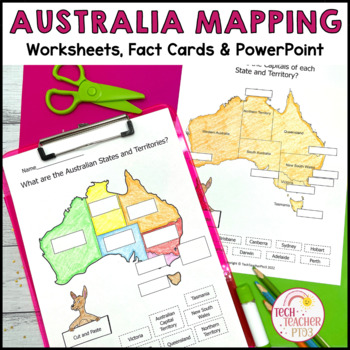
Australia Mapping States Territories and Capitals
This mapping pack will help your students understand what the Australian states and territories are and where the capitals are located. Students can use the hands-on activities to map Australia's climate, position in the Southern Hemisphere and location worldwide. The companion PowerPoint slides will guide students through each worksheet (with written and cut-and-paste options), the lapbook templates create a fun research project for students, and the fact cards will help guide them in their exp
Grades:
1st - 3rd
Also included in: Australia Bundle Maps Geography
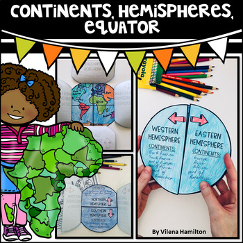
Continents. Hemispheres. Equator. Reading Passage & Foldable.
Reading Passage + Foldable to help your students memorize the continents and understand hemispheres in a simple and not so boring way. Here is what's included:- 2-Page Reading Passage about continents, hemispheres, & equator with 10 comprehension questions;- Foldable Templates;- Answer Keys for everything.You might also like:Maps. Map Skills. Compass Rose. Distance Scale. Map Key. Map Grid.Family Tree Project. Digital & Printable3 Branches of Government Mini Interactive Lapbook. Digital
Grades:
2nd - 3rd
Also included in: Geography Bundle
Geography: Christmas Traditions Around The World Trivia Game
This lesson is easy enough for 5th graders to understand yet works well with students up to 12th graders. Modifications can be made as needed. A great & fun activity social studies activity to teach students about Christmas traditions around the world! Students will have a wonderful time working in peer cooperative groups to find answers to trivia questions as they earn points toward prizes! Need a quick and fun activity for the day before the holiday break? This mini-lesson is a great, moti
Grades:
5th - 10th
Types:
Also included in: Build A Bundle for Georgianne B
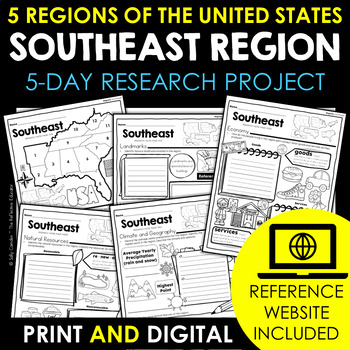
Southeast Region | 5 Regions of the US | Social Studies Research Project
Your students will love learning about the Southeast region - one of the 5 regions of the United States - with this fun research project. Scaffolded notes support students through the research process from start to finish. Simply share the kid-friendly Reference Website created for this project with your students and use the scoring guide to grade their work quickly. Print and digital options make this resource PERFECT for any teaching situation! Tired of looking for kid-friendly, ad-free websit
Grades:
2nd - 4th
Also included in: 5 Regions of the United States | Social Studies Research Project BUNDLE
Roman Geography Digital Task Cards
These digital task cards are the perfect way to kickstart your Ancient Rome unit! In this activity, students will tackle five different tasks to explore the geography of Italy and the Ancient Romans. With venn diagrams, maps, and drag-and-drop features, the Roman Geography Digital Task Cards will engage your students and encourage them to think critically about the impact of geography on the lives of the Romans.This lesson includes:- Teacher lesson plan- Link to Google Slides- Five task card act
Grades:
6th - 10th
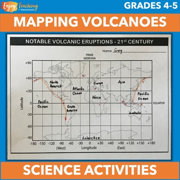
Volcano Mapping Latitude and Longitude Activity - Ring of Fire - NGSS 4-ESS2-2
A variety of volcano projects engage kids in mapping, measuring, research, and more. This set includes a blank world map with latitude and longitude lines, two tables of information about recent volcanic activity, terminology, directions, template for investigation, and 50 cards for student assignments, sorting, etc.Open the preview to take a closer look at the activities. They support NGSS 4-ESS2-2, as well as a similar standard for eleven other states (Alaska, Idaho, Indiana, Louisiana, Montan
Subjects:
Grades:
4th - 5th
Types:
NGSS:
4-ESS2-2
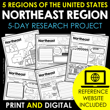
Northeast Region | 5 Regions of the US | Social Studies Research Project
Your students will love learning about the Northeast region - one of the 5 regions of the United States - with this fun research project. Scaffolded notes support students through the research process from start to finish. Simply share the kid-friendly Reference Website created for this project with your students and use the scoring guide to grade their work quickly. Print and digital options make this resource PERFECT for any teaching situation! Tired of looking for kid-friendly, ad-free websit
Grades:
2nd - 4th
Also included in: 5 Regions of the United States | Social Studies Research Project BUNDLE
Geography: Central and South America Scavenger Hunt Intro Activity (Easel)
This lesson is easy enough for 5th graders to understand yet works well with students up to grade 12. Modifications can be made as needed. Get the Scavenger Hunt Bundle and Save HereStudents will find this scavenger hunt on Central and South America both fun and motivating, It will encourage students to examine the physical, political, economic, and cultural characteristics of Central and South America. This is the perfect introductory activity to begin your unit.For this activity, provide each
Grades:
5th - 12th
Types:
Also included in: NEW! Geography Scavenger Hunt Bundle + 2 Freebies
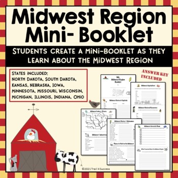
Midwest Region Unit Worksheets Mini Book Research Project
Midwest Region Unit Worksheets Mini Book Research ProjectThis Midwest region mini unit consists of 10 half page worksheets that students complete and assemble as a mini-book. The worksheets also be used as part of an interactive notebook about the Midwest region. Students staple the pages together once they have completed all of their information about the Midwest region. The pages include:A Midwest Region cover pageStates and Capitals of the Midwest regionA map of the Midwest Region (stud
Grades:
2nd - 8th
Types:
Also included in: US Regions Unit Mini Booklets Worksheets All Five Regions Bundle
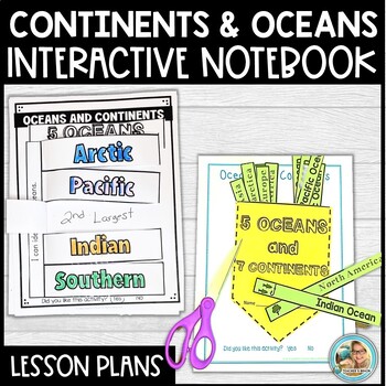
Continents and Oceans Map Activities | INTERACTIVE NOTEBOOK
Are you looking for an engaging way to get your students learning about the continents and oceans? This Interactive Notebook is full of Quick Facts, hands-on activities, posters, songs and more! Check out the preview! What is in this download?Pg. 1 CoverPg. 2 Table of ContentsPg. 3 Lesson Plan (suggested)Pg. 4 Standards MetPg. 5 The Continents SongPg 6-7 Interactive Notebook Pocket and Insert Tabs ( 5 Oceans, 7 Continents) Pg. 8. Quick Ocean FactsPg. 9. 5 Oceans Interactive NotebookPg. 10 Quick
Grades:
1st - 3rd
Types:
Europe Geography — Eastern & Western Europe Scavenger Hunt (Intro Activity)
This lesson is easy enough for 5th graders to understand yet works well with students up to grade 12. Modifications can be made as needed. Get the Scavenger Hunt Bundle and Save HereStudents will find this Eastern and Western Europe Scavenger Hunt activity fun and motivating, and it will encourage students to examine the physical, political, economic, and cultural characteristics of Eastern & Western Europe, along with the geographical themes. This is the perfect activity to introduce and be
Subjects:
Grades:
5th - 12th, Adult Education
Types:
Also included in: NEW! Geography Scavenger Hunt Bundle + 2 Freebies
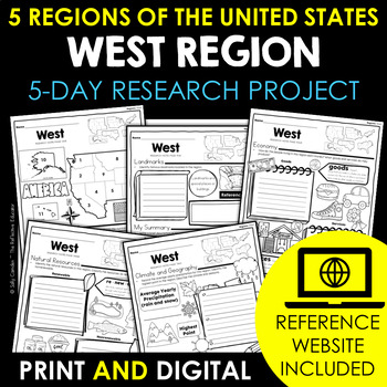
West Region | 5 Regions of the US | Social Studies Research Project
Your students will love learning about the West region - one of the 5 regions of the United States - with this fun research project. Scaffolded notes support students through the research process from start to finish. Simply share the kid-friendly Reference Website created for this project with your students and use the scoring guide to grade their work quickly. Print and digital options make this resource PERFECT for any teaching situation! Tired of looking for kid-friendly, ad-free websites yo
Grades:
2nd - 4th
Also included in: 5 Regions of the United States | Social Studies Research Project BUNDLE
Geography: Who's The Boss? Comparing World Government Types (Easel Activity)
Students will have a blast with this assignment! As students put their thoughts together to decide which world government types and systems — democracy, direct democracy absolute monarchy, consituational monarchy, oligarchy, etc — work best in various scenarios, they will become familiar with how government systems work. Encourage your students to think outside the box to problem solve and to do their best! Acquiring higher-level thinking skills is a process and a skill that has to be developed
Grades:
6th - 10th
Also included in: NEW! Geography: Types of World Governments Bundle + FREE RESOURCE
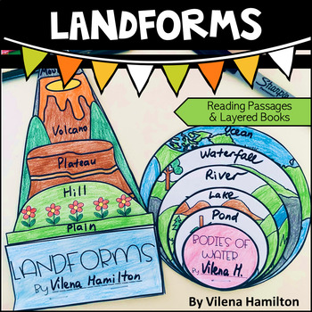
Landforms and Bodies of Water
Make learning about geography engaging and fun for your young learners!Your students will have an opportunity to read about the landforms and bodies of water first, answer some comprehension questions and then construct 2 layered books with the definitions for each landform/body of water. Here is what’s included:- 2 Reading Passages: Landforms and Bodies of Water- Comprehension Questions- Templates - Detailed Instructions- Answer Keys for everything You might also like:Continents. Hemispheres. E
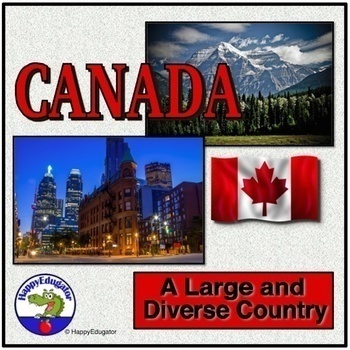
Canada PowerPoint - Overview of the Country's Geography, History, and Economy
Canada PowerPoint. Information on Canada's geography, environmental issues, trade, Canadian Shield, Government, Provinces, Territories, and History. Includes slides on: Canada Day (celebrated on July 1), Acid rain in the Great Lakes region, trade, natural resources, federation under a constitutional monarchy, provinces, history -John Cabot, Samuel de Champlain, the French and Indian War, Canada's Independence, Quebec Politics. Lots of information to use to supplement your unit on the study of t
Grades:
4th - 7th
CCSS:
Also included in: Geography PowerPoint Bundle with Christmas and New Year Around the World
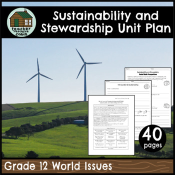
Sustainability and Stewardship Unit Plan (Grade 12 World Issues)
This unit will support students’ understanding of environmental stewardship at a national and global level through analysing issues related to population growth and resource management. This is perfect for Grade 12 World Issues (CGW4U). Although this unit focuses specifically on sustainability and stewardship, the topic will be also revisited throughout all other units of study in this course, as students must understand that a sustainable approach is necessary for the development of strategies
Subjects:
Grades:
11th - 12th
Types:
Showing 1-24 of 162 results


