51 results
Geography flash cards for Easel
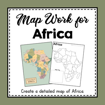
Africa Unit Study | Africa Map Work | Hands On Map Creation Activity
These map work activities and worksheets will help you teach about countries, land features, and how to make and use a map of Africa. Help your students create a beautifully detailed map to keep. Help them memorize and identify some of the African countries and landmarks.What You Get:Political Map of AfricaHalf-sheet Quick Facts about AfricaTeach Discussion Guide to use with Quick Facts About AfricaLabel Countries in Africa worksheet and Answer KeyBlank Map of African Continent Template1 page ma
Subjects:
Grades:
3rd - 5th
CCSS:
NGSS:
4-ESS2-2
Also included in: Continent Unit Studies From Around the World
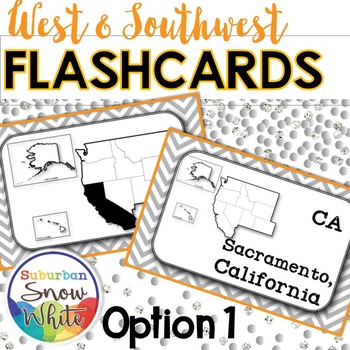
The 5 Regions of the United States FLASHCARDS: The WEST
For those who value simplicity, this sleek set of cards -- Option 1 from my West and Southwest Differentiated Flashcards product -- lets students master three levels at once: states and their placement on a map, state capitals and state abbreviations. Just print and copy 2-sided.States your students will master in this set: WESTHawaii, Alaska, Oregon, Washington, Idaho, California, Montana, Nevada, Utah, Wyoming, ColoradoSOUTHWESTArizona, New Mexico, Texas, Oklahoma*****************************
Subjects:
Grades:
4th - 5th
Types:
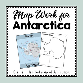
Antarctica Unit Study | Antarctica Map Work | Hands On Map Creation Activity
Guide your students as they create a detailed map of Antarctica during your Unit Study of Antarctica. This set will teach your students about map concepts such as map keys, compass rose, and lines of latitude and longitude as well as mark important landforms in Antarctica such as ice shelves, volcanoes, the south pole, and the Antarctic Circle. Help students study the map and memorize important land features with flashcards. Help your students create a beautifully detailed map of Antarctica for
Subjects:
Grades:
3rd - 5th
CCSS:
NGSS:
4-ESS2-2
Also included in: BUNDLE: Antarctica Unit Study Resources | Antarctica Unit Activities
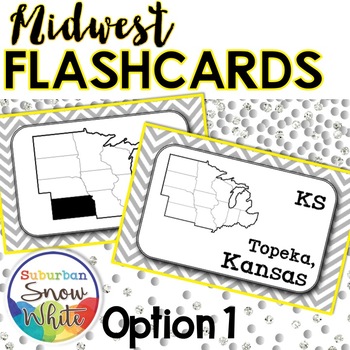
The 5 Regions of the United States FLASHCARDS: The MIDWEST
For those who value simplicity, this sleek set of cards -- Option 1 from the Midwest Differentiated Flashcards product -- lets students master three levels at once: states and their placement on a map, state capitals and state abbreviations. Just print and copy 2-sided. In color and greyscale versions. (The greyscale can be copied on bright paper!)States your students will master in this set: North Dakota, South Dakota, Nebraska, Kansas, Minnesota, Iowa, Missouri, Wisconsin, Illinois, Indiana,
Subjects:
Grades:
4th - 5th
Types:
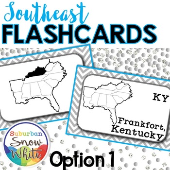
The 5 Regions of the United States FLASHCARDS: The SOUTHEAST
For those who value simplicity, this sleek set of cards -- Option 1 from the Southeast United States Flashcards, Differentiated for Growth Mindset product -- lets students master three levels at once: states and their placement on a map, state capitals and state abbreviations. Just print and copy 2-sided. In color and greyscale versions. (The greyscale can be copied on bright paper!)States your students will master in this set: Arkansas, Louisiana, Mississippi, Kentucky, Tennessee, Alabama, G
Subjects:
Grades:
4th - 5th
Types:
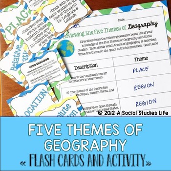
Five Themes of Geography Flash Cards and Activity
Your students will love this Five Themes of Geography flash card set. The cards are a great activity to use for review. I print out a few sets, laminate back to back and have the students use them for review before a test/exam. Or, you can have the students utilize them if they "finish early!"Included in this resource:• 5 Themes of Geography Flash Cards Cover Page• Flash Cards:◦ Location◦ Absolute Location◦ Relative Location◦ Place◦ Human Characteristics◦ Physical Characteristics◦ Human-Environm
Grades:
5th - 8th
Also included in: Geography Flash Cards BUNDLE
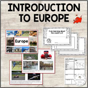
Europe Continent Cards | Country Research Forms
Introductory cards for the study of Europe containing general information about the European continent, reading exercises, and research forms.The printable contains:Eighteen Introductory Cards - Introduction to Europe - quick facts about the continent including two cards with information about Maria MontessoriReading exercise - picture cards and matching commentary cardsCountry Research worksheet for lower elementary students"I am learning about the country of .." student book print out for prim
Subjects:
Grades:
K - 2nd
Also included in: Europe Continent Bundle - Montessori
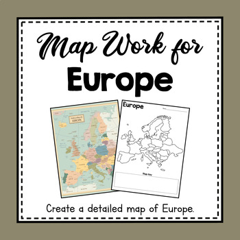
Europe Unit Study | Europe Map Work | Hands On Map Creation Activity
These map work activities and worksheets will help you teach about countries, land features, and how to make and use a map of Europe. Help your students create a beautiful detailed map to keep. Help them memorize and identify some of the European countries and land features.What You Get:Political Map of EuropeHalf-sheet Quick Facts about EuropeTeach Discussion Guide to use with Quick Facts About EuropeLabel Countries in Europe worksheet and Answer KeyBlank Map of Europe Continent Template1 page
Subjects:
Grades:
3rd - 5th
CCSS:
NGSS:
4-ESS2-2
Also included in: Continent Unit Studies From Around the World
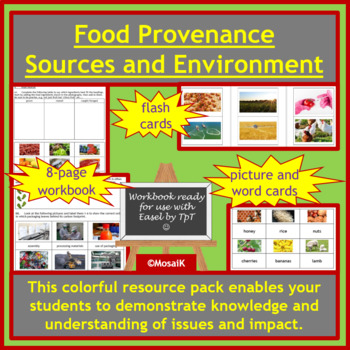
Food Provenance Sustainability Earth Day Sources Geography Cooking Environment
Where does our food come from? This workbook will guide your students through the varied answers to this question. Use the cue cards for matching up activities before or after the written and discussion tasks. The handy flashcards can be used for consolidation at the end of the lesson or unit, to check how much your students have learnt. A document with suggestions for use and differentiation is also included to help you adapt these resources to your students' needs.The workbook can of course be
Subjects:
Grades:
5th - 12th
Also included in: Food Preparation Cooking Nutrition Easel Bundle
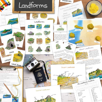
Landforms unit: learning activities for kids, classroom posters, and flashcards
Everything you'll need for your next landforms unit study! You will receive a collection of printable educational resources including posters, three-part Montessori-inspired flashcards, activities, and more! Great for homeschool and mixed-age group classrooms from preschool through elementary school!*** Materials Included ***(26-page PDF file total)Common Landforms poster12 three-part cardsField trip worksheetsFlashcard activities guideCoastal Landscape posterDesert Landscape posterCoastal Lands
Subjects:
Grades:
2nd - 4th
Types:
United States Task Cards w/ QR Codes - Know Your States!
Need a way for your students to study our 50 states independently? On each task card students will see the shape of each state, where it is located in the US, and its state motto. There job is to identify it! They can use their mobile devices and check their answers with the QR codes or record answers on included answer sheet. Great for stations, early finisher projects, and even quizzes! **You may also like:50 States BingoUS State Capitals BingoHow a Bill Becomes Law Classroom ActivitiyTe
Grades:
5th - 8th
Types:
Natural Disasters. Vocabulary. Weather. Geography. ESL. Reading. ELLs. ELA.
Students learn the names of common natural disasters and discuss, define, explain. Includes:1. Online and printable flashcards (click the link to go to the professionally designed Quizlet set.2. A beautiful pptx, presenting each of 20 natural disasters. 3. Exercises. Watch the video and then do the exercises (answer keys). Labeling and reading. See our other natural disaster vocabulary lesson resource. ESL, EFL, ESOL, worksheets, disasters, environment, nature, learning English, printables, tea
Subjects:
Grades:
4th - 12th, Higher Education, Adult Education
Geography Vocabulary Activity Cards with Digital Easel Activity
Geography Vocabulary Cards - Key Terms to Understand. 84 geography terms on bright and colorful chevron cards and three worksheets for writing definitions. Includes 3 definition pages of geography words to know to use as study guide, and 3 vocabulary worksheet pages for students to record the geography definitions and notes. Great supplement to Earth Day activities. Digital and Print: I have also made an Easel Activity ready for learning with digital tools. Assign it online in Google Classroom
Subjects:
Grades:
4th - 7th
Types:
CCSS:
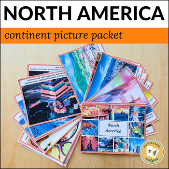
North America Continent Cards and Country Research B&W Booklet
This resource gives students an initial introduction to the continent of North America. Twenty-four picturesque continent cards with photographs and short commentary give a visual presentation of the diversity of the continent, its natural beauty, architecture, traditions, and culture. Here is what's included:28 picture cards with a short description (A5 format)12-page country research booklet1-page country research form
Grades:
K - 2nd
Also included in: North America Continent Bundle - Montessori
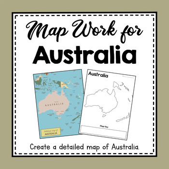
Australia Unit Study | Australia Map Work | Hands On Map Creation Activity
These map work activities and worksheets will help you teach about countries, land features, and how to make and use a map of Australia. Help your students create a beautiful detailed map to keep. Help them memorize and identify some of the Australian countries.*Please note that this is map work of the continent of Australia, which many people also know as the continent of Oceania. This resource covers the continent of Australia, not the country.What You Get:Political Map of AustraliaHalf-sheet
Subjects:
Grades:
3rd - 5th
CCSS:
NGSS:
4-ESS2-2
Also included in: Continent Unit Studies From Around the World
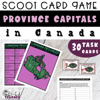
What are Canadian Provinces Scoot Cards
What are Canadian Provinces scoot task cards elevate student engagement while reviewing the major provinces, capitals, and territories of Canada by name, appearance, and locations. What are Canadian Provinces game set includes a map reference and vocabulary chart with specific biome examples to help students be more successful and save you time from gathering more resources. Save time preparing with the state-aligned lesson plans and student directions. Included in 10 Canadian Provinces PDF Pack
Grades:
3rd - 5th
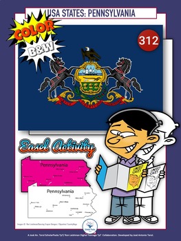
50 U.S. States: PENNSYLVANIA. BIG Packet. Flash cards-Hexagonal cards. Color-BW
312-US-PA-BP/CBWA great resource to learn about PENNSYLVANIA state. Another great packet to learn about 50 US States.This packet is a collaboration with artist Ron Leishman. Toons are created by Ron Leishman. Other cliparts are created by TpT authors : maps by Dancing Crayon Designs and State symbols by Clipartino.Contents included:Color 11 Color Flash Cards ( State Flags, Maps, Area/Dimensions, Fast facts )PENNSYLVANIA symbols (19 Color Flash Cards: ( 13 vertical / 6 horizontal ) Tree: Eastern
Subjects:
Grades:
1st - 6th
Types:
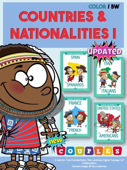
Countries & Nationalities I + COUPLES-Flash Cards (Color-B/W).
002CNI - UPDATED !!NOW Nationalities with COUPLES. / and more pages !!An amazing collaboration with the creativity of the great artist Ron Leishman.It was fun to develop my first pack about 18 nationalities and NOW with their corresponding couples, countries , flags, fast facts, etc.All of them drawn with excellent details, mastery and geniality.Thanks Ron for your infinite artwork .It is a pleasure to collaborate and develeop these incredible resources with you !!!Flashcards can be used for
Grades:
1st - 6th
Types:
Also included in: Countries and Nationalities I-II. Super Bundle. FlashCards. C-BW ver.
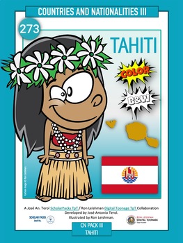
TAHITI. Countries & Nationalities III. Flash Cards. Color / BW version
273-T-FC/C-BWAnother Country and Nationality Ron Leishman's toons to include to your collection.Tahiti with Easel TpT activities included.Don't forget to comment and share your opinion about my resources.You can earn credits you can apply to future TPT purchases.Your opinions are valuable to us and ultimately help to improve our products.Write and tell me your experience to joseanterol@yahoo.es and I'll send you more free resources to use and play with your students.Visit:ScholarPacks TpTRon Lei
Subjects:
Grades:
K - 6th
Types:
Also included in: Countries and Nationalities I-II. Super Bundle. FlashCards. C-BW ver.
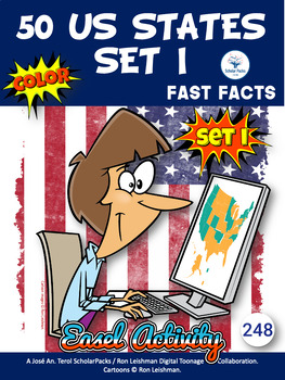
50 US STATES. Fast facts - The Complete Packet. Color/B&W version.
252 50US/BPCBW-The BIG and complete packet.A large set to study the US states, capitals, and regions throughout the entire school year with lots of activities, using their research skills.This packet is a collaboration with artist Ron Leishman. Toons are created by Ron Leishman. Other cliparts are created by TpT authors : maps by Dancing Crayon DesignsFast Facts, Wordsearches, Crosswords, Unscrambles, Fill in , Label... Activities B&W included:50 US States:Set IAlabama, Arizona, Arkansas, Ca
Subjects:
Grades:
1st - 7th
Types:
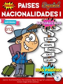
Países y Nacionalidades I. Actividades (color) ver.Español
012-PYN/ACEl paquete de actividades de países y nacionalidades 01 (color) es una gran recopilación de actividades que puede utilizar y practicar como un refuerzo útil teniendo en cuenta el paquete de tarjetas de memoria flash de países y nacionalidades 01.Este increíble recurso se proporciona como un archivo PDF. Este set contiene 93 páginas a color con diferentes actividades o juegos que puede usar en sus clases o en casa. Los estudiantes pueden aprender sobre 18 países y nacionalidades inclu
Subjects:
Grades:
1st - 6th
Types:
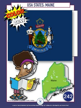
50 U.S. States: MAINE. BIG Packet. Flash Cards / Hexagonal cards. Color / BW
242-US-ME-BP/CBWA great resource to learn about MAINE state. Another great packet to learn about 50 US States.This packet is a collaboration with artist Ron Leishman. Toons are created by Ron Leishman. Other cliparts are created by TpT authors : maps by Dancing Crayon Designs and State symbols by Clipartino.Contents included:Color ver.11 Color Flash Cards ( State Flags, Maps, Area/Dimensions, Fast facts )MAINE symbols (19 Color Flash Cards: ( 12 vertical / 7 horizontal ) Tree- White PineFlower-
Subjects:
Grades:
1st - 6th
Types:
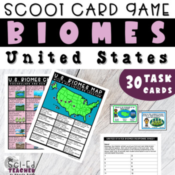
Biomes of US Scoot Cards
The Biomes of US scoot task cards elevate student engagement while reviewing the major biomes of the US by name, appearance, and locations. This Biomes of US game set includes a map reference and vocabulary chart with specific biome examples to help students be more successful and save you time from gathering more resources. Save time preparing with the state aligned lesson plans and student directions. Included in the Major Biomes of the US PDF Packet1. Clickable Table of Contents (Internally
Subjects:
Grades:
3rd - 5th
NGSS:
3-ESS2-2
, 4-ESS2-2
Also included in: Geography of the USA Scoot Bundle
50 U.S. States. PENNSYLVANIA. Flash Cards. B&W version
314-US-PA-BP/BWA great resource to learn about PENNSYLVANIA state. Another great packet to learn about 50 US States.This packet is a collaboration with artist Ron Leishman. Toons are created by Ron Leishman. Other cliparts are created by TpT authors : maps by Dancing Crayon Designs and State symbols by Clipartino.Contents included:B&W Version8 BW Flash Cards ( State Flags, Maps, Area/Dimensions, Fast facts )PENNSYLVANIA symbols (17 BW Flash Cards: ( 15 vertical /2 horizontal ) Tree: Eastern
Subjects:
Grades:
1st - 6th
Types:
Showing 1-24 of 51 results


