2,193 results
Geography printables for Easel
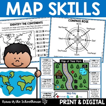
Map Skills Activities and Worksheets Maps Globes Landforms Continents & Oceans
Make learning fun for your students when teaching map skills. Map skills topics include maps, globes, continents, oceans, landforms, water forms, suburban, urban, rural, directions, and more. This resource is perfect for second, third, and fourth grade students. Digital activity included using Easel by TpT.These activities can be used during whole group instruction, independent work, and center time. Easy-to-use activity sheets with clear directions and answer keys are provided.HERE'S WHAT YOU'L
Grades:
2nd - 4th
Types:
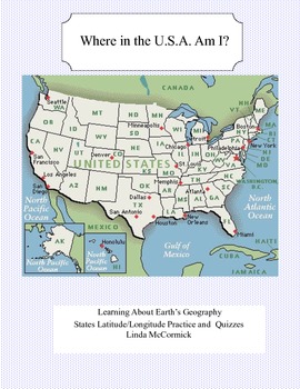
Latitude and Longitude Worksheets and Quizzes - U.S.A. Geography
This collection of worksheets and a printable map provide excellent lessons for learning latitude and longitude. • This package contains 9 pages. • A printable map with the necessary information to answer the questions regarding latitude and longitude.• Includes practice and two quizzes in the “Where Am I” format•Answer KeyThis lesson is google classroom ready.Please e-mail me with any questions about this resource or suggestions for future resources at: ljmccormick33@yahoo.com. If you are diss
Subjects:
Grades:
5th - 9th
Types:
Also included in: U.S.A. Geography- Bundle
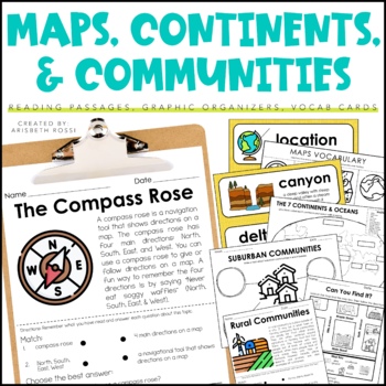
Maps and Globes - 7 Continents and Oceans- Landforms Map Skills Activity
This interactive and engaging resource will help your students learn all about Map Skills, Globes, Continents, Landforms, and Communities! These Map Skills activities will not only have your students learning the importance of locating on places on maps and globes, they’ll also be learning about constructing and reading a simple map, using cardinal directions and identifying map symbols. Lastly, they'll also compare and contrast basic land use in urban, suburban, and rural environments.This Maps
Grades:
1st - 3rd
Types:
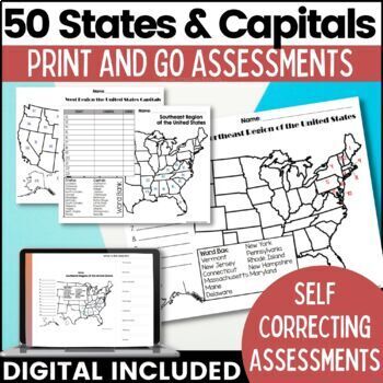
50 States and Capitals Map Activities Print & Digital Resource
Help your students learn and remember the 50 United States and Capitals. This product breaks the 50 states into five regions to make learning easier to manage and teach. United States maps are included with printable assessments, self correcting digital assessment and digital practice worksheets.Update! Easel Digital Version is Included (updated 7/2022)Self Correcting Assessments and Easy to Assign!Save $$$ when you buy as a bundle:The United States and Capitals Geography Review Activities and A
Grades:
3rd - 5th
Types:
Also included in: 50 States and Capitals Bundle Map Print & Digital Resource 50% OFF
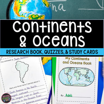
Continents and Oceans Geography Research, Study Cards, Quizzes | Print & Easel
This seven continents and major oceans geography resource includes: Continent Student Book - A cover page, label by number student maps, and pages picturing an outline of each of the 7 continents with space for students to write three facts about the continent are included.Continent and Ocean Quizzes - Both continent and ocean options come with and without word banks. Answer keys are included.Continent Study Cards - Each study card features a picture of the continent and the continent’s name.
Subjects:
Grades:
1st - 3rd
Types:
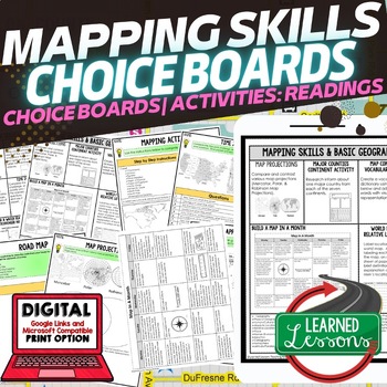
Geography Mapping Skills Activities, Geography Choice Board, Reading Passages
Mapping Skills and Basic Geography Choice Boards, Mapping Skills Readings Google Classroom, Print & Digital Learning provides differentiated activities to use with students to master the content. THIS IS ALSO PART OF SEVERAL BUNDLES World Geography MEGA BUNDLE AND World Geography Choice Board Activity BUNDLE AND Mapping Skills BUNDLE Choice Board Activities and Mapping Skills Readings Including the following: Mapping ActivityCartographerMap ScaleTypes of MapsTime ZonesRoad MapsLand and Wate
Grades:
7th - 12th
Types:
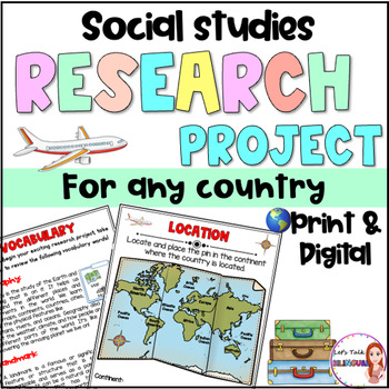
Social Studies Research Project for any Country - Culture and Geography Digital
Social Studies research project for any country / Geography research projectEngage your students in an exciting social studies research project that explores the rich cultural heritage and geography of different countries. This country research project encourages students to explore fascinating topics such as history, traditions, and customs. Through this hands-on geography investigation, students develop a deeper understanding of global diversity and enhance their research and critical thinkin
Subjects:
Grades:
2nd - 6th
Types:
Also included in: Social Studies research project for any country in Spanish - landforms
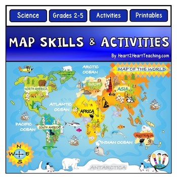
Back to School Map Skills Worksheets First Day of Social Studies 2nd 3rd Grades
Back to School Map Skills with US Maps & World Maps Activities. Learning about Map Skills has never been so much fun! This resource has several engaging map activities that will have students hunting for answers. It works well for centers and is perfect for a beginning-of-the-school-year activity. A complete unit with activities for students to practice their map skills. High-resolution maps are included for students to use for completing a variety of map activities. Students can use maps fo
Grades:
2nd - 5th
Types:
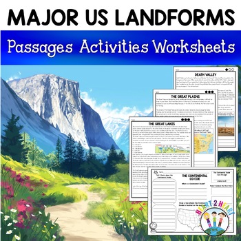
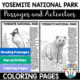
Major US Landforms Yellowstone National Park Yosemite National Park Grand Canyon
Our Major US Landforms unit includes reading passages and activities about the Great Lakes, Yellowstone, Grand Canyon, Arches National Park, Yosemite, Great Plains, Death Valley & more! Reading passages come in 3 levels of difficulty.These geographical features are included:The Great BasinThe Gulf of MexicoThe Great LakesDeath ValleyThe Atlantic Coastal PlainThe Continental DivideThe Great PlainsArches National ParkGrand CanyonYellowstone National ParkYosemite National ParkA Digital Version
Grades:
3rd - 5th
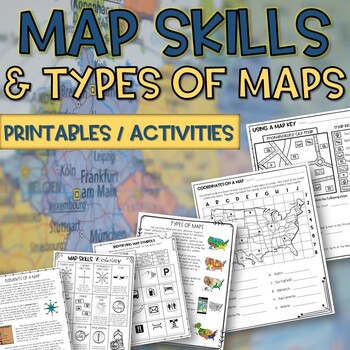
Map skills and Types of Maps Printables & Activities Pack
Map Skills and Types of Maps Unit: All the worksheets and activities you will need to help teach the subject. Answer Keys are included. What comes with this download: (take a look at the preview for greater detail!)· Types of Maps Reading Passage and Comprehension Questions · Elements of a map Reading Passage and Comprehension Questions · Using a Compass Rose Worksheet · United States map filled in and empty · Cut and Paste Types of Maps · Using a map key activity · Map skills activity · Coordin
Subjects:
Grades:
3rd - 5th
Types:
Grade 2 Social Studies Ontario Global Communities 2023
This package includes:Shared reading passages, Easy-to-follow worksheets, Differentiated tasks (Low and High), Unit Quiz, Unit Review Tests, Answer Key, All expectations in "People and Environments" Strand covered, Includes 3 Formats:1. PDF Download:Download PDF and photocopy worksheets2. TPT EASEL Activity:EASEL FAQEASEL Tutorial3. Google Slides:Download PDF and click on the link at the bottom of the contents pageMake your own copy of the Google Slides when promptedBased on the Ontario Curricul
Grades:
2nd
Types:
Also included in: Grade 2 Ontario Social Studies Bundle 2023
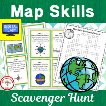
Map Skills Scavenger Hunt + Free BOOM Cards
This 20-question scavenger hunt (task card activity) reviews and practices map skills, vocabulary, and terms. (2 cards have been added for use by Canadian teachers.)This Product Includes:• cover card for organizing and storing scavenger hunt • 20 colorful cards providing practice with map skills vocabulary and using maps• alternate cards have been added using a map of Canada for cards 13 and 14, instead of a map of the United States.• 20 b/w cards• crossword puzzle (2 formats for differentiation
Grades:
3rd - 4th
Types:
Also included in: Map Skills Bundle
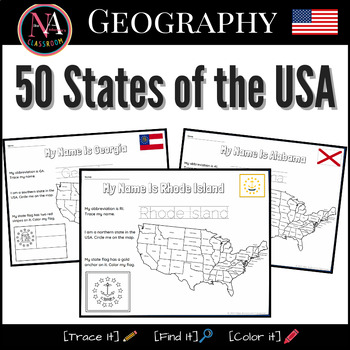
50 States of the USA Activity Bundle (Map and Flags)
Try it on EASEL! This resource includes a ready-to-use interactive activity students can complete on any device. This “50 States of the USA” activity includes fun worksheets for all 50 states, including Washington DC. Each activity aims to build and strengthen the following skillsets for Pre-K thru 1st Grade students.1. Trace it—Penmanship.2. Find it—Critical thinking and problem-solving.3. Color it—Creativity and fine motor skills. The activities also help familiarize young students with the US
Subjects:
Grades:
PreK - 2nd
Types:
Also included in: USA State Symbols and Maps MEGA Bundle | Geography
Geography Activities Major Landforms and Bodies of Water Reading Passages Unit
This fun unit is perfect for the back to school season to introduce 12 major landforms and reinforce geography skills! It includes 12 major landforms with reading passages, organizers, vocabulary posters, flip book, and a unit test.This activity pack is perfect for introducing and reviewing geography skills through creative hands-on activities. Students will love creating this geography flip book in centers or social studies stations. All the activities in this pack will reinforce and expand the
Grades:
2nd - 5th
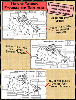
Map of Canada's Provinces and Territories For Students to Label and Colour
This download contains 6 maps of Canada (11 x 17 paper) to allow you differentiate your instruction to help meet needs of all students in your classroom as they learn to identify and locate the provinces and territories in Canada.This download contains: 1. A map of Canada with the province and territory (boxes left blank for students to fill in). Students provided with a colour key to colour each province and territory. 2. A map of Canada with the first letter/s of each province and territory s
Subjects:
Grades:
2nd - 5th
Types:
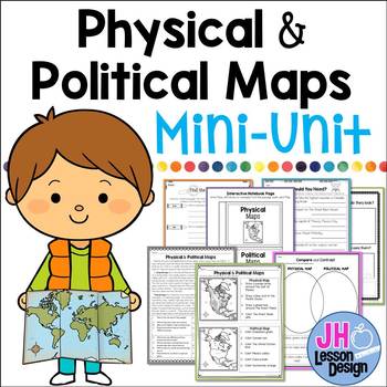
Physical and Political Maps Mini-Unit
Introducing physical and political maps? This may be a great product for you! This purchase includes a variety of fun and meaningful activities to teach your students about the differences between physical and political maps. Your students will be experts soon!This Mini-Unit Includes:Nonfiction Passage with Comprehension Questions and Text Dependent Questions.Interactive Notebook ActivityTwo Graphic OrganizersThree Activity PagesAnswer keys are included. This is part of a BUNDLE
Grades:
3rd - 5th
Also included in: Physical and Political Maps BUNDLE
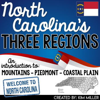
North Carolina's 3 Regions Mountains Piedmont Coastal Plain TpT Digital Activity
Introduce your students to North Carolina's three regions with this engaging and informative packet written in a way students can understand! In this product students are introduced to:3 distinct landforms found in North Carolina (Appalachian Mountains, Piedmont Plateau, Coastal Plain)Location (absolute location and relative location)3 regions found in North Carolina (Mountains, Piedmont, Coastal Plain)Each North Carolina region is broken down by specific characteristics, places of interest, and
Grades:
4th - 6th
Types:
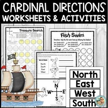
Cardinal Directions Activities and Worksheets for Kindergarten and 1st
Are you looking for age-appropriate and engaging activities to help your little ones with learning about cardinal directions and map skills? I have some great printables for YOU! Check them out!In this download:Pg. 1 CoverPg. 2 Directions Pg. 3 Fish Swim (Follow Cardinal Directions to help the fish.)Pg. 4 Answer KEY Fish Swim (Follow Cardinal Directions to help the fish)Pg. 5 Seal Bubbles (Follow Cardinal Directions)Pg. 6 Answer KEYPg. 7 Treasure Search (Take the ship to a treasure.)Pg. 8 Treas
Subjects:
Grades:
PreK - 1st
Types:
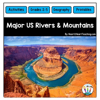
U.S. Major Rivers & Mountains - Major Rivers of the United States Activity Pack
In this comprehensive unit, students will learn about 7 major rivers and 3 major mountain chains that played an incredibly important role in the history of the United States. Students will love the reading passages and activities about these major rivers and mountain chains. What's Inside:Landforms: Rivers and MountainsMississippi RiverMissouri RiverColorado RiverOhio RiverHudson RiverSt. Lawrence RiverRio Grande RiverThe Rocky MountainsThe Appalachian MountainsThe Sierra Nevada MountainsTeacher
Subjects:
Grades:
2nd - 4th
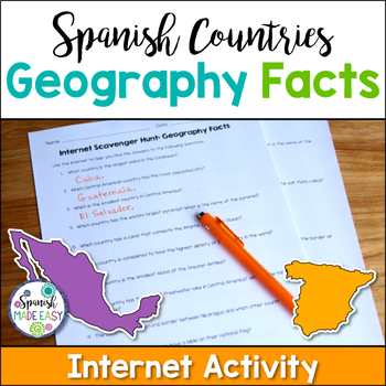
Spanish Countries Geography Facts Internet Scavenger Hunt
This is an internet scavenger hunt over geography facts of the Spanish-speaking world. This activity provides students with one geographical fact about each of the 21 Spanish-speaking countries. Students research each question online to find out which country is being described. The answers to this activity are the 21 Spanish-speaking countries. All the answers may be found online at www.wikipedia.org. Answer key is included.
Students may complete this activity using the internet in a computer
Subjects:
Grades:
6th - 12th
Types:
Also included in: Spanish Countries and Capitals Geography Bundle
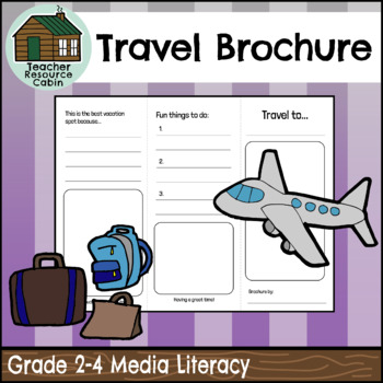
Travel Brochure (Grades 2-4 Language)
This Travel Brochure assignment can be used as a tool to explore cultural diversity within your classroom while also meeting media and literacy Ontario curriculum expectations. Students can choose a country from their family background or a country that interests them to explore for this task. The task requires students to research various characteristics of their chosen country, such as climate, the country flag, cultural foods, things to do, and unique sights to see. Encourage your students to
Subjects:
Grades:
2nd - 4th
Also included in: Grade 2 Ontario 2023 Language Bundle (FULL YEAR)
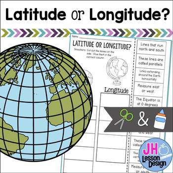
Latitude and Longitude Cut and Paste Activity: Distance Learning Compatible
This is a fun and engaging way to practice determining the difference between latitude and longitude! Students will read a sentence and decide if it is describing latitude or longitude, then glue the box in the correct column. An answer key is included.
Grades:
3rd - 5th
2nd Grade Map Skills, Pirate Themed- Print and Digital
Michael finds a map and wants the promised treasure. Unfortunately, he doesn't know how to read a map. He learns in this fun, hands-on map unit that contains information on continents, countries, states, and street maps, all with a pirate theme. Students learn about the compass rose, cardinal and ordinal directions, and map key. They follow the clues to find the pirate treasure. There is a lot of student practice worksheets.Contains:Compass Rose informationCompass Rose cut and glue student
Subjects:
Grades:
2nd
Types:
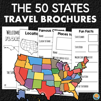
50 United States Trifold Travel Brochure Project Geography Research Activity
This is a set of templates to make travel brochures about each of the 50 states. These can be used for your study of the U.S., its regions, and geography. They give students a structure to follow when doing research. Since there is a brochure for every state, you can easily assign a different one to each student or let them choose their own.Each tri-fold brochure includes: state namenicknamestate birdstate flowerdate of statehoodoutline map regionpopulationcapital cityland areabordering statesbo
Subjects:
Grades:
3rd - 5th
Types:
Showing 1-24 of 2,193 results

