2,830 results
Adult education geography activities
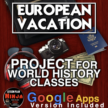
European Vacation Project - Perfect for end of the Year! + Digital Resource
European Vacation Project is a fun way for World History students to sum up their European history by traveling to Europe! This is a wonderful project to end the year in World History class - one of my favorites! Students research a summer trip to Europe and present their fun to the class. You will need online access to computers, iPads etc. Students can use PowerPoint, Google slides or any other slideshow app. Rubric, PowerPoint introduction, and warm-up questions included.** Includes Google
Subjects:
Grades:
7th - 12th, Adult Education
Types:
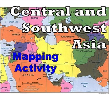
Central and Southwest Asia (Middle East) - Mapping Activity
Map Activity – Central and Southwest AsiaIn this activity, students must locate and identify the countries (and capital cities if so desired) of Central and Southwest (or Middle Eastern) Asia. When students are finished with this, time can be spent coloring in the various countries.Included in this package is a ready-to-copy blackline master map of Central and Southwest Asia along with a separate answer key.This product can also easily be used as a test or quiz.Preview file is available for down
Subjects:
Grades:
4th - 12th, Higher Education, Adult Education
Types:
Also included in: Map Activity Bundle
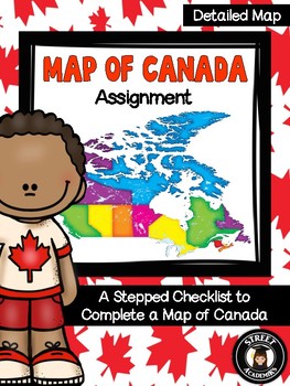
Map of Canada Assignment - Detailed Map
This is a minimal-prep assignment that you can simply photocopy and distribute to students now! The assignment is broken down into 10 steps and is perfect for an applied or academic classroom. The assignment includes a built-in checklist for students to use while completing their maps.
There are two versions of this assignment included in this download – one with and one without the post-it note annotation. There are also two rubrics to reflect both versions of this assignment. You can use the
Subjects:
Grades:
4th - 12th, Higher Education, Adult Education
Types:
What Country Is This? Short Geography, History, Economics Readings CCSS 6-8
Expand students' global knowledge with high-interest paragraphs that engage students with fascinating facts! No prep for bell work or many more uses. What you get:25 one-page handouts. Countries featured are those students may not be familiar with in Africa, Asia, Latin America, and Europe. See Preview for list.2-3 questions per passage that cover CCSStandards for SS/History. Main ideas, fact/opinion, using visual information and more. One concept covered is why some nations are so poor. 9
Subjects:
Grades:
6th - 8th, Adult Education
Types:

The not-so-Fair-Trade Game
"I can honestly say it is the best activity they have done this year! They absolutely loved it and were incredibly engaged. Watching them navigate the difficulties, inequalities and frustrations while working through them collaboratively was amazing. When finished it sparked such meaningful discussions and inquiry based research. LOVED IT! Thank you so much!" -Grade 6 teacher reviewPast students of mine have told me that it was the best thing they ever did in school. I have used it many times an
Grades:
3rd - 12th, Higher Education, Adult Education, Staff
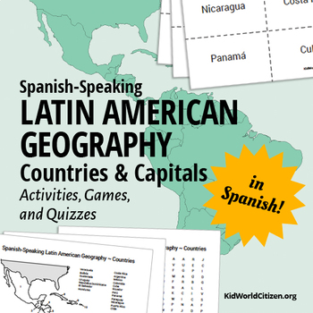
Latin American Countries and Capitals: Geography Activities and Games in Spanish
Latin American Geography for Kids IN SPANISH! Use these games, activities, and quizzes to teach your students the Spanish-speaking Latin American countries and capitals. I always use these at the beginning of the year with all levels of Spanish classes! It is so important for kids to be familiar with the countries were the Spanish language is spoken.
1) Label the map with Spanish-speaking Latin American countries. (with a word bank of countries in Spanish with accents, etc)
2) Label the map w
Subjects:
Grades:
6th - 12th, Adult Education
Types:
Layers of the Atmosphere Build an 8-foot Scaled-Down Model of our Atmosphere
Create an 8-foot-tall (2.4m), scaled-down model of our atmosphere and discover cool information about our atmosphere at the same time! Students will also learn a little history about humankind's ventures into our atmosphere.Includes Troposphere, Tropopause, Stratosphere, Stratopause, Mesosphere, Mesopause, Thermosphere, and Exosphere. No prep.The only way to get a true sense of atmospheric scale is with a model this big!Crosscutting concepts: scale, proportion, & quantity, systems & sy
Subjects:
Grades:
6th - 12th, Adult Education
Types:
CCSS:
Also included in: Ecology, Environmental Studies, and Earth Science Activities Bundle
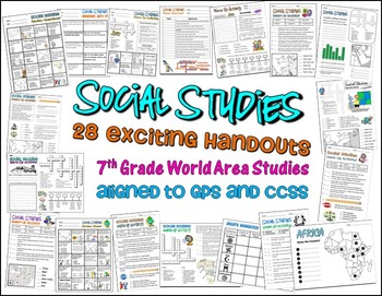
Bundle of 28 Worksheets for 7th Grade Social Studies GPS Georgia
This is a HUGE lot of fun and engaging handouts for students to use in reviewing key information. Included in this package are 28 individual activities, including puzzles, maps, fill-in-the-blank sections, word searches, matching, etc. Most of these items were created to help students review for the end of year test, so they cover a variety of topics and standards.
This is a great way to get your students excited about social studies. I use most of these resources as warm up and closing activi
Grades:
PreK - 12th, Higher Education, Adult Education, Staff
Types:
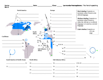
Monde Francophone World Map French-Speaking Countries
Overview: Printable map to label French-speaking countries. Includes answer key. Thirty-seven countries and/or territories listed. Objective: Identify French-speaking countries and territories by labeling a world map.Estimated Time: 10 to 30 minutes (depending on how the teacher would like to enrich it)Suggested/Possible Sequence:1. Students brainstorm or make a list of countries they already know. Teacher verifies student lists.2. Students then use textbooks or maps to identify the countries sh
Subjects:
Grades:
5th - 12th, Higher Education, Adult Education
Types:
Southwest Region Unit Activity Booklet or Interactive Notebook Lesson Worksheets
Southwest Region Unit Activity Booklet or Interactive Notebook Lesson WorksheetsThis Southwest region mini unit consists of 10 half page worksheets that students complete and assemble as a mini-book. The worksheets also be used as part of an interactive notebook about the Southwest region. Students staple the pages together once they have completed all of their information about the Southwest region.The pages include:A Southwest region cover pageStates and Capitals of the Southwest regionA map o
Grades:
2nd - 6th, Adult Education
Types:
Also included in: US Regions Unit Mini Booklets Worksheets All Five Regions Bundle
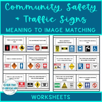
Community, Safety & Traffic Signs Sign Definition to Image Matching Worksheets
For this community instruction based lesson, students are presented with varying community, traffic, or safety signs visually/in word form. Students will work on their functional vocabulary skills by identifying the sign's name and image. Students are asked to review the provided sign meaning or definition and match it to its image, out of an array of three. Students will work on identifying sign based vocabulary words, reading signs, defining signs/understandings purpose and more!There are 15 w
Subjects:
Grades:
1st - 12th, Higher Education, Adult Education
Types:
Europe Geography — Eastern & Western Europe Scavenger Hunt (Intro Activity)
This lesson is easy enough for 5th graders to understand yet works well with students up to grade 12. Modifications can be made as needed. Get the Scavenger Hunt Bundle and Save HereStudents will find this Eastern and Western Europe Scavenger Hunt activity fun and motivating, and it will encourage students to examine the physical, political, economic, and cultural characteristics of Eastern & Western Europe, along with the geographical themes. This is the perfect activity to introduce and be
Subjects:
Grades:
5th - 12th, Adult Education
Types:
Also included in: NEW! Geography Scavenger Hunt Bundle + 2 Freebies
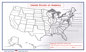
United States Map: Fill in the Blank
A map of the United States, with blanks for each of the 50 states to be filled in. Due to the size of the states and user friendly format, the print out should be on a legal sized paper (8.5 x 14)
A larger version is also available in store. (11 x 14)
Grades:
4th - 12th, Higher Education, Adult Education
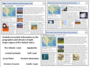
United States - Geography Unit
This product is designed to teach students about the major regions of the United States. I've often found it worthwhile to start any U.S. history course with a quick overview of the geography of the country. These materials are designed to accomplish this within a 1-2 week period depending on how much detail you wish to go into. Included in the file are reading sheets about eight major regions as well as a variety of maps and project materials. Please view the preview sheet for more details
Grades:
8th - 12th, Adult Education
Types:
AP Spanish – La Geografía Humana (Práctica Integral en español).
Hi! This editable PowerPoint was created to practice talking about Human Geography. Students will improve their basic skills (listening, speaking, reading & writing) in different topics, in this case about Human Geography and its main components. They will learn about the vocabulary associated with this topic, and how to give opinions based on their experiences and research. It has forty pages in one document. The student document includes instructions, links to videos and websites, activit
Subjects:
Grades:
10th - 12th, Higher Education, Adult Education
Also included in: AP Spanish Growing Bundle
Salt Fat Acid Heat Documentary Worksheets (Culinary Arts, Hospitality, Foods)
Documentary worksheets with answer keys for ALL questions. This is a documentary (currently ONLY found on Netflix), however it is also based on a book also called Salt Fat Acid Heat. This includes the PDF and Word versions, if you would like the GOOGLE DOC version CLICK HERE!This is a GREAT documentary for any Culinary Arts, Hospitality, Geography, Foreign Languages or related course. It covers the use of ingredients and cooking methods used, cultural difference and cultural cooking traditions,
Subjects:
Grades:
6th - 12th, Higher Education, Adult Education
Also included in: Culinary Arts Movie and TV Activity Bundle
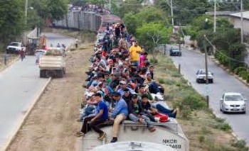
Immigration from Central America, and DACA
This was updated in January 2021 to include info about President Biden's policy towards Central America. 162 teachers have purchased this "Central America" product. This power point serves as an introduction to the border crisis whereby massive amounts of migrants / refugees from Central America have been streaming across the southern border of the USA. This issue sparks significant controversy, and much debate as to why these migrants are coming here, and what we should do about it. DACA is r
Subjects:
Grades:
9th - 12th, Higher Education, Adult Education
CCSS:
Japanese Country Study Japan History And Culture Japan Study Unit Packet
Social Studies Geography Pack to study Japan and its culture, history, SAMURAI, NINJA, GEISHA, ORIGAMI, SAKURA (cherry blossom), Japanese tea, language, Japanese ancient toys and clothes, Japanese emigration to Brazil, customs, their contribution to the world, and the facts with all the main information gathered.Great for Cultural / Social Studies Centers, doing it as a special workgroup, a Japan Exhibition/ Exposition, or an introduction to this topic! - it can be done individually, in pairs, o
Subjects:
Grades:
3rd - 12th, Higher Education, Adult Education, Staff
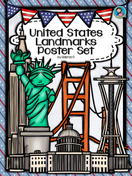
United States Landmarks Facts & Poster Set
If you are looking to improve your students skills in Geography here is the resource you need. I had so much fun researching these Landmarks and sparkle my skills also with the new facts on the most famous landmarks of the United States. Lots of information, but cool things you can use in class. Here is a set of Posters with their Fact Sheet. You can print it on card stock with double sided with the facts or separated to create your own activities for your students. The will have fun with ge
Grades:
PreK - 12th, Higher Education, Adult Education, Staff

Would You Rather? BIG Bundle! For Middle and High School - Travel, Art, Careers+
Get a great deal on six Would You Rather slideshows for middle and high school! You'll get 250 unique Would You Rather prompts on travel, art, history, culture, careers and more! Get your students thinking, talking and engaged in class! Use these Would You Rather slideshows:as part of a whole group discussionfor a get-up-and-move brain breakas a team-building activity in small groups or with partnersfor daily writing promptsto support your English language learnersto support and develop backgrou
Subjects:
Grades:
5th - 12th, Adult Education
Types:
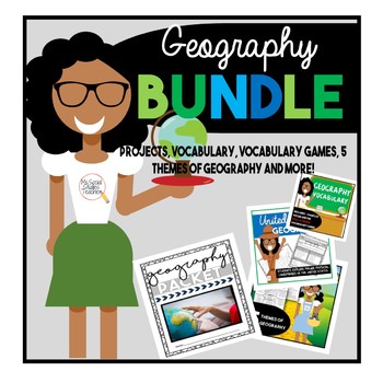
Civics U.S. Geography and Map Skills Bundle
Get this easy NO PREP just PRINT Geography and Map Skills Bundle!Included in this Bundle - Geography packet that introduces students to basic U.S. geography. Students will identify the importance of studying geography, the capital and states, and included 2 projects.-Wizard of Oz 5 themes of geography can be used as an introduction or end of the year activity to the 5 themes. Included Enrichment activities to make a map and compare The WIz and the Wizard of Oz.- Introduce students to geography v
Grades:
5th - 12th, Adult Education
Types:
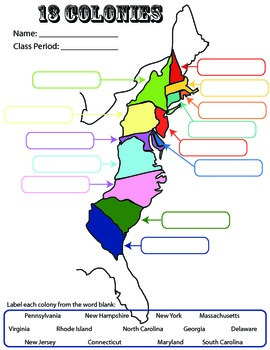
13 Colonies: Student Worksheet/Printable: Map
This can be a single assignment, or you can do what I do. I break this into a three-day assignment that I pair with the three PowerPoints: "13 colonies: southern," "13 colonies-middle," and "13 colonies-New England." All three PowerPoint lessons are for sale. At the end of each PowerPoint/lecture, I have students complete the corresponding part of this worksheet.
13 colonies
colonization
US History
Socials Studies
Exploration
Map
Activity
Homework
printables
worksheet
Label
Southern, Middle,
Grades:
4th - 12th, Adult Education
Types:
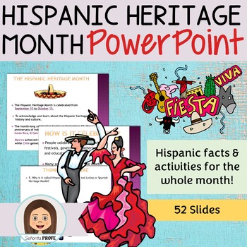
Hispanic Heritage Month PowerPoint
Interactive PowerPoint about the Hispanic Heritage Month.Includes historical facts about Latin America and the origin of the celebration, HW assignments, games and group activities.Click HERE for my curriculum resource guideCan be broken down to introduce different facts, as a warm up or closing throughout the Hispanic Heritage month52 slides totalMore details in previewAppropriate for Middle and High School StudentsCan be used in Social Studies and World Language classYOU MAY ALSO LIKELa Musi
Grades:
7th - 12th, Higher Education, Adult Education
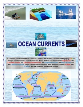
Oceans: Currents and Global Winds (Engaging and Full of COLOR!) Sail the Seas!
Come SAIL THE HIGH SEAS! Image based and cut and paste or laminate and Velcro. Perfect for alternative college prep, special education, and/or autistic students.See preview!AN ADVANCED EL NINO/LA NINA LAB ACTIVITY IS FOUND BELOW FOR ENRICHMENT LEARNING:EL NINO LAB ACTIVITY CLICK HERE-----------------------------------------------------------------------------------------------------------------------------------------------------------A Complete Tutorial on OCEAN CURRENTS and GLOBAL WINDS Loade
Subjects:
Grades:
4th - 9th, Adult Education
Types:
Showing 1-24 of 2,830 results


