172 results
Adult education geography flash cards
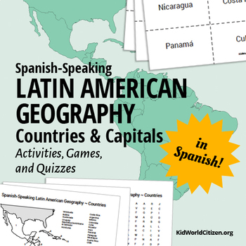
Latin American Countries and Capitals: Geography Activities and Games in Spanish
Latin American Geography for Kids IN SPANISH! Use these games, activities, and quizzes to teach your students the Spanish-speaking Latin American countries and capitals. I always use these at the beginning of the year with all levels of Spanish classes! It is so important for kids to be familiar with the countries were the Spanish language is spoken.
1) Label the map with Spanish-speaking Latin American countries. (with a word bank of countries in Spanish with accents, etc)
2) Label the map w
Subjects:
Grades:
6th - 12th, Adult Education
Types:
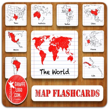
Entire World Geography Flashcards + Printable & Digital Maps ~ MEGA BUNDLE!
ENTIRE WORLD Map Flashcard Set Includes x900 Flashcards of ALL 270 Total Countries + Locations in both Printable & Digital formats. Flashcards are easy to use & perfect for a quick print & go or for creating fun interactive resources like geography games, activities, quizzes, presentations, worksheets, & more!✅ What Is Included?1) Zip File = Packed full of 900 Flashcards for x270 Countries + Locations in The World.—> Simple to Use, Easy to Download, Engagingly Themed, 3-Part F
Grades:
PreK - 12th, Higher Education, Adult Education
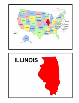
Identifying the 50 States - Visual-Spatial, Size, and Shape Practice
This is a great PDF for Visual-Spatial, Size, and Shape Practice and Refinement of the 50 states. It provides each state individually on a map of the United States, as well as the shape and name of each state. This is perfect for overheads and a great PDF to download to your iBooks to review and identify the geography of the United States.
Subjects:
Grades:
PreK - 12th, Higher Education, Adult Education
Types:
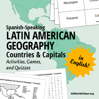
Latin American Countries and Capitals: Geography Activities and Games in English
Latin American Geography for Kids IN ENGLISH! Use these games, activities, and quizzes to teach your students the Spanish-speaking Latin American countries and capitals. I always use these at the beginning of the year with all levels of Spanish classes- but they are also great activities for World History, Geography, Social Studies, and ESL classes! It is so important for kids to be familiar with the countries were the Spanish language is spoken.
1) Label the map with Spanish-speaking Latin Ame
Grades:
6th - 12th, Adult Education
Types:
GENTILICIOS DE COMUNIDADES Y PROVINCIAS
Para trabajar los gentilicios he elaborado estas tarjetas para agruparlos y unir cada provincia/comunidad con su gentilicio correspondiente. Es una forma lúdica y divertida de aprenderse estos gentilicios, que muchas veces no se parecen al nombre de la provincia o de la comunidad a la que pertenecen. El material está formado por 25 hojas con los gentilicios de todas las provincias y las Comunidades Autónomas, así como las dos Ciudades Autónomas. Archivo PDF no editable.
Subjects:
Grades:
2nd - 10th, Higher Education, Adult Education
Types:
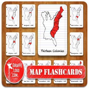
13 Colonies Geography Flashcards with both Printable & Digital Maps
THIRTEEN COLONIES Map Flashcard Set Includes x45 Flashcards of ALL 13 Colonies plus in both Printable & Digital formats. Flashcards are easy to use & perfect for a quick print & go or for creating fun interactive resources like geography games, activities, quizzes, presentations, worksheets, & more!✅ What Is Included?1) Zip File = Packed full of 45 Flashcards for ALL 13 US Colonies.—> Simple to Use, Easy to Download, Engagingly Themed, 3-Part Flashcards.2) Printable Flashcards
Grades:
PreK - 12th, Higher Education, Adult Education
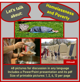
Homelessness Poverty discussion picture cards
Suitable for use in Geography lessons, Language classes, e.g. English, ESL, Spanish, French, German, Italian as well as Life skills, etc… the 48 photographs will surely encourage learners to talk about Homelessness and Poverty. Pictures are presented in various sizes, i.e. 1, 2, 4 and 12 to a page. This allows for a variety of activities, from flash cards to pairs games, depending on the age of your learners. A PowerPoint presentation features all 48 pictures as well as slide 1 for you to adapt
Subjects:
Grades:
4th - 12th, Adult Education
Also included in: Social topics Global issues discussion picture cards GROWING BUNDLE
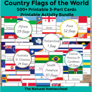
500+ Country Flags of the World Printable 3-Part Cards MEGA Bundle
This flags world pictures bundle includes 252 flags of the world! Of course, they are not all the flags of the world, but they are so many to learn and they offer a variety because they are from the 7 continents of the world.5 North America countries flags10 South America flags59 Africa flags 3-Part Cards61 Europe flags24 Australia and Oceania flags1 Antarctica flag40 Central America and Caribbean flags52 Asia flags, including Eurasia and the Middle East
Subjects:
Grades:
PreK - 12th, Higher Education, Adult Education
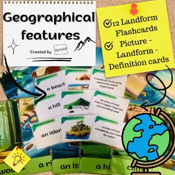
Geographical Features: Flashcards and Picture-Landform-Definition cards
Introducing our comprehensive educational material designed to captivate young minds and reinforce essential vocabulary.:12 vibrant flashcards and Picture-Landform-Definition cards, meticulously crafted to make learning fun and effective! Reinforce Key Vocabulary: With clear and concise definitions accompanying each card, your students will easily grasp the meaning of words such as "a river," "an island," "woods," "a waterfall," "a mountain," "a sea," "a hill," "a lake," "a field," "a valley,"
Subjects:
Grades:
3rd - 6th, Adult Education
Types:
Spanish Speaking countries nationalities capitals paises hispanos nacionalidades
This PowerPoint includes the 20 Spanish speaking countries divided by continent.Each slide includes the name of the country, the flag, a map and the nationality, with the appropriate changes for male or female nationalities.
It also includes these other countries: Estados Unidos, Alemania, Francia, Italia, Inglaterra, Portugal, Brasil, China, Japón y Canada
****************************************************************************
Looking for some games to learn Spanish speaking countries an
Subjects:
Grades:
6th - 12th, Adult Education
Also included in: Los paises hispanos MEGA BUNDLE Spanish Speaking countries
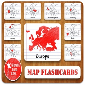
Europe Geography Flashcards with Printable & Digital Maps
EUROPE Map Flashcard Set Includes x138 Flashcards of ALL 46 European Countries + Locations in both Printable & Digital formats. Flashcards are easy to use & perfect for a quick print & go or for creating fun interactive resources like geography games, activities, quizzes, presentations, worksheets, & more!✅ What Is Included?1) Zip File = Packed full of 138 Flashcards for x46 Countries + Locations in Europe.—> Simple to Use, Easy to Download, Engagingly Themed, 3-Part Flashcard
Grades:
PreK - 12th, Higher Education, Adult Education
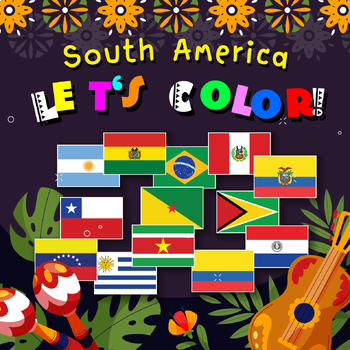
Flags of South America, Maps, Unique
South America Let's color.The South American terrain overlaps the equator.The continent of South America is shaped like a triangle.The entire continent has an area of approximately 17,821,029 square kilometers.This accounts for approximately 14% of Earth's landand it is the fourth largest continent of the planet.33 pages
Subjects:
Grades:
1st - 2nd, Adult Education
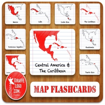
Central America & Caribbean Geography Flashcards with Printable & Digital Maps
CENTRAL AMERICA & THE CARIBBEAN Map Flashcard Set Includes x120 Flashcards of ALL 40 Central American & Caribbean Countries + Locations in both Printable & Digital formats. Flashcards are easy to use & perfect for a quick print & go or for creating fun interactive resources like geography games, activities, quizzes, presentations, worksheets, & more!✅ What Is Included?1) Zip File = Packed full of 120 Flashcards for x40 Countries + Locations in Central America & The Ca
Grades:
PreK - 12th, Higher Education, Adult Education
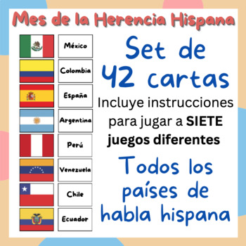
JUEGOS BANDERAS: Hispanic Heritage Month - Set de 42 cartas + 7 juegos
Aprende las banderas de los 21 países de habla hispana con este divertido material.PARA TODAS LAS EDADES Incluye un set de 42 cartas, con las banderas y los nombres de los países. También incluye el reverso de las tarjetas, con un colorido formato. Material con alta calidad de impresión, para imprimir en cualquier tamaño. INCLUYE INTRUCCIONES PARA JUGAR A SIETE DIVERTIDOS JUEGOS, INDIVIDUALES Y EN GRUPOS. ENGLISH VERSION AVAILABLE
Subjects:
Grades:
PreK - 12th, Higher Education, Adult Education, Staff
Types:
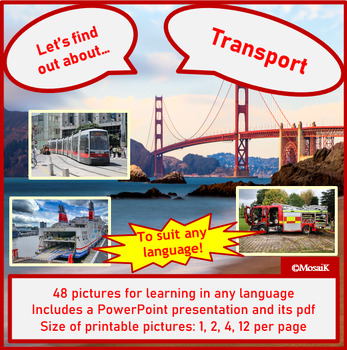
Transport Picture cards Exploring Description Discussion
This resource is a collection of images to encourage children’s interest in various modes of transport. It is ideally suited for use with younger students of Geography, English, ESL, any other languages and life skills. The 48 pictures will encourage learners to learn about various aspects of transport. They include pictures on public transport, work transport, emergency services, routes, ...Pictures are presented in various sizes, i.e. 1, 2, 4 and 12 to a page. This allows for a variety of acti
Subjects:
Grades:
PreK - 7th, Adult Education
Also included in: Elementary Topics picture cards description GROWING BUNDLE
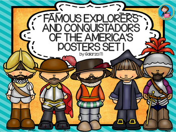
Famous Explorers and Conquistadors of the America’s Posters set 1
Looking forward to reinforce your teachings in Geography or History? Here is the Famous explorers and conquistadors of the America’s posters set 1. It will do more than just decorate.
Can be used reinforce a lesson, as a review or as an introduction aid.
This Product includes the following explorers and conquerors:
1. Leif Eriksson
2. Christopher Columbus
3. Francisco Coronado
4. Francisco Pizarro
5. Hernan Cortés
6. Henry Hudson
7. Jacques Cartier
8. Samuel de Champlain
9. John C
Subjects:
Grades:
PreK - 12th, Higher Education, Adult Education, Staff
Types:
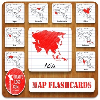
Asia Geography Flashcards with Printable & Digital Maps
ASIA Map Flashcard Set Includes x150 Flashcards of ALL 50 Asian Countries + Locations in both Printable & Digital formats. Flashcards are easy to use & perfect for a quick print & go or for creating fun interactive resources like geography games, activities, quizzes, presentations, worksheets, & more!✅ What Is Included?1) Zip File = Packed full of 150 Flashcards for x50 Countries + Locations in Asia.—> Simple to Use, Easy to Download, Engagingly Themed, 3-Part Flashcards.2) Pr
Grades:
PreK - 12th, Higher Education, Adult Education
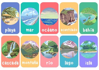
Vocabulary de Geografía (flashcards)
Les comparto un set de flashcards para enseñar geografía. En el set van a encontrar la siguiente lista de términos:playamarocéanoacantiladobahíacascadamontañaríolagoislapenínsulaglaciarvalledesiertodunacañónmesetabosquejunglamarismapantanodeltaarchipiélagovolcánllanuraoasisatolónfiordotundraarrecifeestuariolagunasabanaestepamesacavernagargantagéisersierrarápidosquebradacordilleracolinaicebergcaboarroyogolfopraderaestanquecanalensenadaselva tropicalkarstcuenca endorreicamonte submarinopáramosalin
Subjects:
Grades:
5th - 12th, Higher Education, Adult Education
Types:
Geography Vocabulary Flashcards
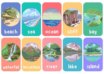
I share with you a set of 60 geography-related flashcards, illustrating key vocabulary any geography student should know. Here's a list of what you will find in this set:beachseaoceancliffbaywaterfallmountainriverlakeislandpeninsulaglaciervalleydesertdunecanyonplateauforestjunglemarshswampdeltaarchipelagovolcanoplainoasisatollfjordtundrareefestuarylagoonsavannasteppemesacaverngorgegeyserbutterapidsravinechasmhillicebergcapestreamgulfprairiepondchannelcoverainforestkarstbadlandseamountmoorlandsal
Subjects:
Grades:
5th - 12th, Higher Education, Adult Education
Types:
Geography Terms Classical Conversations Aligned Bundle
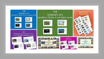
This bundle contains all of my geography printables and a PowerPoint presentation.168 Geography and Landform Terms Business Cards168 Geography and Landform Double-sided Printable 4 x 6 Index Cards168 Geography and Landform Double-sided Printable 3.5 x 5 Index Cards168 Geography and Landform Printable 4x6 Index Cards168 Geography and Landform Printable 3.5 x 5 Index Cards168 Geography and Landform Terms Flash Cards / 3 Part Montessori Cards168 Geography and Landform Terms Posters / Wall Cards / A
Subjects:
Grades:
PreK - 12th, Higher Education, Adult Education, Staff
Types:

Community Pictures: Homes, Neighborhoods, Cities, Community-commercial use.
4 x 6 jpeg Community Pictures:Airport-3 picturesAmerican Flag-3 picturesAmerican and Utah FlagApartments-4 picturesArmory-2 picturesBank-4 picturesBarn-5 picturesBody ShopBridge-6British FlagBrown Brick House-2 picturesBuildingCanadian FlagCircle-Basketball LinesCity-8 picturesCity StreetFarm-3 picturesFenceFire DepartmentFire HydrantFootball FieldFootball Field and BleachersGreen Field-3 picturesGrocery Store-2 picturesHay on a FarmHigh School BuildingHigh School GroundsHighway BridgeHoliday In
Grades:
PreK - 12th, Higher Education, Adult Education
Types:

Rainforest Bird Pictures for Commercial Use.
4 x 6 jpeg pictures of the following Rainforest Birds:African Sacred IbisBearded BarbetBlack and Yellow OropendolaBlue and Green MacawBrown PelicanChaco ChachlacaChaco Chachlaca BirdsCormorantCormorant 2EagleEdward's PheasantFlamingoFlamingo 2FlamingosGlossy IbisGolden EagleGray Crowned CraneGray Crowned Crane 2Great Blue HeronGreat Blue Heron 2Great Green MacawGreat Green Macaw 2Great Green Macaw 3Great Green Macaw 4Green ParrotGreen ParrotsGreen Wood HoopoeGreen Wood Hoopoe 2Green-Naped Pheasa
Subjects:
Grades:
PreK - 12th, Higher Education, Adult Education
Types:
Flags of the World Posters, A2, A3, and A4 Size, Printable Educational Wall Art
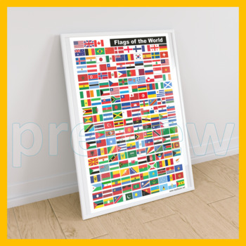
Printable Educational Wall Art: Flags of the World Posters (193 COUNTRIES).YOUR ORDER WILL INCLUDE DIGITAL FILES IN THESE SIZES:☀ A2 (PNG + PDF) 420 x 594mm (300dpi).☀ A3 (PNG + PDF) 297 x 420mm (300dpi).☀ A4 (PNG + PDF) 210 x 297mm (300dpi).I really appreciate you purchasing my teaching resources and I hope you'll enjoy using them at home or in your classroom.Please FOLLOW ME HERE if you'd like to receive notifications when I upload new products and freebies.DOWNLOAD. PRINT. DONE!RATING AFTER D
Grades:
PreK - 12th, Higher Education, Adult Education, Staff
Types:
HIDROGRAFÍA ESPAÑA Y EUROPA
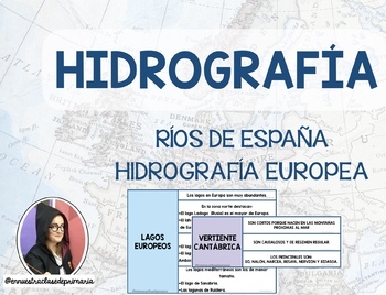
El material está formado por: 6 Tarjetas con la información de las diferentes vertientes hidrográficas de España (incluye un mapa).6 Tarjetas con la información hidrográfica de Europa: océanos y mares, lagos y ríos (incluye un mapa).Juego de memoria de hidrografía española.Juego de memoria de hidrografía europea.Sopa de letras de ríos españoles + hoja de soluciones.Sopa de letras de hidrografía europea + hoja de soluciones. Mapa mudo para completar con los ríos de España (a color).Mapa mudo fís
Subjects:
Grades:
5th - 8th, Higher Education, Adult Education
Types:
Showing 1-24 of 172 results


