19,381 results
10th grade geography activities
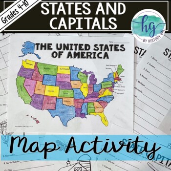
50 States and Capitals Map Activity with printable worksheets & digital map game
Do your students need to know the state capitals and the location of each state on a map? This engaging map set for the 50 states and their capitals will guide your students through labeling a blank map and learning the capitals. Print and digital options plus access to online self-checking map and flashcards let you easily customize the lesson to best fit the needs of your students. Students will label a blank map of the United States with the names of the 50 states and then record the capital
Subjects:
Grades:
4th - 10th
Types:
Also included in: American History Map Activities Bundle for U.S. History Units & Lessons
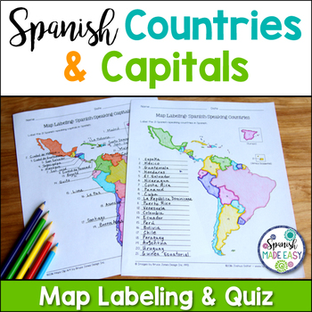
Spanish-Speaking Countries and Capitals Maps and Quiz
This is a map labeling activity and matching quiz over the 21 Spanish-speaking countries and capitals. Students will label and identify the 21 Spanish-speaking countries and capitals in Spanish. This is a great activity when reviewing Spanish-speaking countries and capitals or Spanish geography. Makes a great coloring page. Answer keys are included.
Countries included:
España, México, Costa Rica, El Salvador, Guatemala, Honduras, Nicaragua, Panamá, Cuba, La República Dominicana, Puerto Rico, Ar
Subjects:
Grades:
6th - 12th
Also included in: Spanish Countries and Capitals Geography Bundle
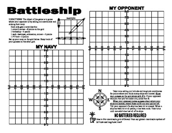
Latitude and Longitude Battleship Game
Here is an engaging game to reinforce your students understanding of latitude and longitude . This is a geography activity your students will enjoy. The directions are included right on the template, so this is a no prep activity that comes ready to play. Watch the kiddos play their way to understanding this important concept. If you would like to get updates on my monthly sale, follow me by pressing the star located just under my name. Looking for more resources for latitude and longitude?Try
Grades:
5th - 10th
Types:
Also included in: Latitude Longitude- States-USA Games Bundle- Collection of 4
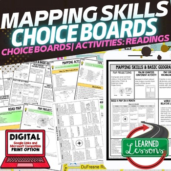
Geography Mapping Skills Activities, Geography Choice Board, Reading Passages
Mapping Skills and Basic Geography Choice Boards, Mapping Skills Readings Google Classroom, Print & Digital Learning provides differentiated activities to use with students to master the content. THIS IS ALSO PART OF SEVERAL BUNDLES World Geography MEGA BUNDLE AND World Geography Choice Board Activity BUNDLE AND Mapping Skills BUNDLE Choice Board Activities and Mapping Skills Readings Including the following: Mapping ActivityCartographerMap ScaleTypes of MapsTime ZonesRoad MapsLand and Wate
Grades:
7th - 12th
Types:
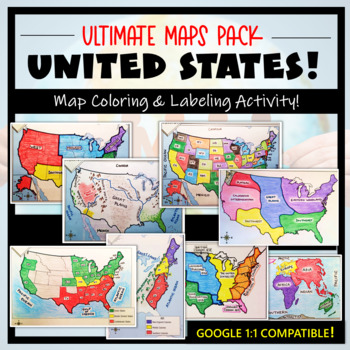
U.S. Maps & Geography- The Ultimate Label & Color Maps Pack! (American History)
This United States Ultimate Maps & Geography Pack includes eight different maps for your American History student explorers- Political Map, Physical Map, Native American Cultural Regions, 13 Colonies, Westward Expansion, 5 Regions, Civil War, and a World Map. These labeling and coloring activities are interactive, engaging, and ready to use- just print and copy! A Teacher’s Guide is provided, as well as options for use to fit your curriculum/lesson. You will also receive a completed, col
Grades:
3rd - 10th
Types:
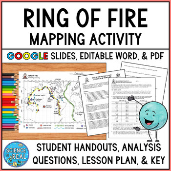
Ring of Fire Mapping Activity and Questions - Earthquakes and Volcanoes
⭐ ⭐ ⭐ ⭐ In this fun and engaging ring of fire mapping activity, students plot the coordinates of past earthquakes and volcanoes along the ring of fire using an easy to read Pacific-centered world map. Students will then draw other geologic features on their maps such as trenches, mountain ranges, hot spots, and mid-ocean ridge. After the map is complete, students will answer 25 analysis questions. Editable MS Word version, PDF version, and Google Slides version are all included!I complete this w
Subjects:
Grades:
8th - 12th
Types:
NGSS:
MS-ESS2-3
, HS-ESS2-1
, MS-ESS2-2
, HS-ESS1-5
Also included in: Plate Tectonics Growing Discount Bundle
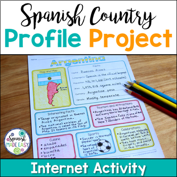
Spanish Country Profile Project
This is a country profile project over the 21 Spanish-speaking countries. Students will research important geographical and cultural facts about each country. This activity includes a blank country profile template, a template for each country, a list of Spanish-speaking countries, and a grading rubric in both English and Spanish. Research topics include: Countries flag, map, capital, language(s), population, area, currency, climate, interesting facts, tourism and attractions, cuisine, sports, a
Subjects:
Grades:
2nd - 12th
Types:
Also included in: Spanish Countries and Capitals Geography Bundle
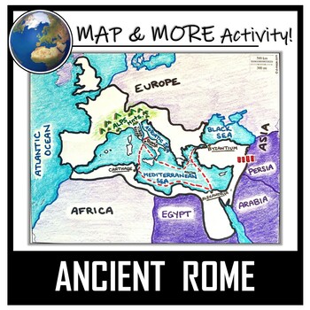
Ancient Rome Map Activity- Roman Empire (Label and Color!)
This Ancient Rome Map Coloring & Labeling Activity is a great resource to enhance your unit! Each student will make their own, personalized map of the Roman Empire, and learn about the geography and landmarks of the region. They will label and color their blank map, and answer follow-up questions related to the geography of Ancient Rome. A fun 'Make a Travel Brochure' project has also been added. It is a great way to connect this map activity to your lesson on Ancient Rome! A link to Goo
Grades:
4th - 11th
Types:
CCSS:
Also included in: Ancient Civilizations / World Maps BUNDLE- Color & Label Activities!
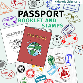
Passport Booklet & Stamps Growing Bundle: Around the World Unit, Geography Fair
These passport stamps and passport booklet are absolutely amazing!!! Perfect for an around the world unit, introduction to country studies, a Geography Fair, International Night, Social Studies Units, "Read Around the World" Passports, or Christmas Around the World (or Holidays Around the World). Save now by getting in early on this GROWING BUNDLE as we will be adding country stamps in the near future!The passport booklet is authentic, appropriate for students in any country ("Citizen of the Wor
Grades:
PreK - 12th
Fun End of Year Activity - Travel Project - Plan a Trip!
This is the perfect project to do this year - especially before a break or just for fun! In this project, students will apply personal finance skills to plan a 3-day trip for themselves and a few friends. They must create a budget and plan three days' worth of food and activities. It is a whole lot of fun and they can have so much ownership and creativity. It works great to display Math, ELA, and Social Studies skills. They will have to research customs, and locations and add, multiply, and divi
Subjects:
Grades:
4th - 10th
Types:
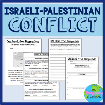
Israel Palestine Conflict History Set
This set includes several resources and activities to use when teaching the complicated Israeli-Palestinian conflict. This set includes:- A short reading on the "two-state solution"- Several primary source documents that help students understand the major issues preventing a two-state solution. As students read the documents, they have to decide whether each document has a pro-Israeli perspective, a pro-Palestinian perspective, or a neutral perspective. - 12 page PowerPoint slides for teachers t
Grades:
6th - 12th
Types:
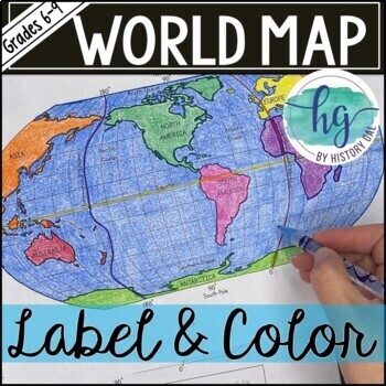
World Map Activity (Print and Digital)
Students will label 17 items on the world map including the continents, oceans, equator, prime meridian, international date line, North Pole and South Pole. Alternatively, students can just color on the coloring page version. What's included with the Printed Versions:*Blank World Map for students to label and color (1 page, uneditable pdf)*World Map Coloring Page (1 page, uneditable pdf)*Map Key (1 page, uneditable pdf)*Animated PowerPoint and Google Slides shows each location and is perfect fo
Subjects:
Grades:
6th - 10th
Types:
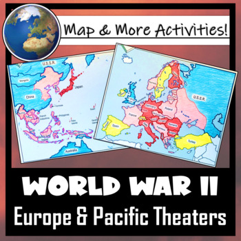
World War II: Map Coloring & Labeling Activities- Europe & Pacific Theaters!
This World War II Map Activity includes two map activities that include blank maps, student direction sheets, follow-up map tasks, and completed sample maps to use as reference. One map activity focuses on Axis Expansion in EUROPE and one on Axis Expansion in ASIA (The Pacific). They can be used with many different age groups, learning styles, and independently- great addition to your WWII unit!**Note: These maps focus on the peak of Axis power/control during WWII. Please see the completed ma
Grades:
5th - 10th
Also included in: US History / American History BIG BUNDLE of Resources! NO-PREP!
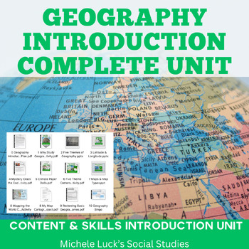
Geography Introduction Complete Unit
Start back to school with this Geography Introduction Complete Unit to help your students build the content foundation and Social Studies skills they will need for a Geography, History, or other Social Studies Course. The 160+ page unit covers the Five Themes of Geography, Longitude & Latitude, Climate Zones, Map Types and Purposes, and Using Maps. It introduces or reviews the basic mapping concepts AND geohraphy skills. Includes: Complete Unit Plan with bellringers & exit prompts (Se
Grades:
6th - 10th
Types:
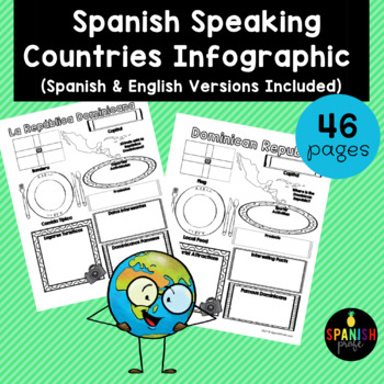
Spanish Speaking Countries Infographic (Los paises hispanohablantes)
Spanish Speaking Countries Infographic (Inforgrafica de los paises hispanohablantes) This products would be great for Spanish class, Latin American History or Spanish Heritage class, or a Spanish or Dual Immersion class. You could use an infographic about each country all throughout the school year or have students do a research project and have 1-2 students do each country and present to the class. This could also be an independent research center for grades 2-6 in the Spanish Immersion setting
Subjects:
Grades:
2nd - 12th
Types:
To Build a Fire Short Story Literature Guide Unit, Lesson Plan
Teaching "To Build a Fire" doesn't have to be a long, cold experience! With this up-to-date mini unit teaching pack, you have everything you need to set, teach, enjoy, and assess this classic short story. Plus -- it's all super low prep and standards based. Student Experience: Students will step into the shoes of the traveler in the pre-reading activities and explore the Alaskan terrain, answer text-based questions, read about a real-life survivor and make comparisons, and analyze the film versi
Subjects:
Grades:
8th - 11th
Types:
Also included in: American Literature Curriculum, Year-Long, BUNDLE, English Lesson Plans
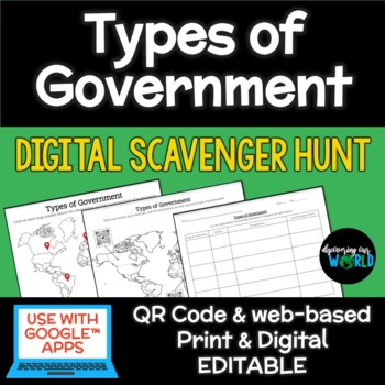
Types of Government Digital Scavenger Hunt
Take your students on an exciting global journey to discover diverse forms of government with our "Government Types Digital Scavenger Hunt." This interactive and educational resource is designed to engage learners of all ages, making it easy to adapt to various teaching styles and preferences.What's Included:Interactive World Map: A visually captivating map featuring clickable links and QR codes that transport students to countries around the world with different types of government.Government T
Subjects:
Grades:
6th - 12th
Types:
Also included in: Middle School World Cultures & Geography Course
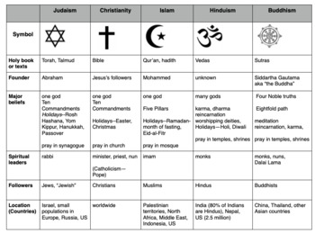
Compare World Religions Chart --Judaism, Christianity, Islam, Hinduism, Buddhism
This is a chart I use with my students to compare five major world religions-- Judaism, Christianity, Islam, Hinduism and Buddhism. It is meant to have the students learn the basics and be able to know the major aspects of all the religions. I included a blank copy and a completed version. In my social studies textbooks, there is quite a bit of info about each of these religions. This can also be done this as a group jigsaw activity. Feel free to edit it to suits your needs. Let me know if
Subjects:
Grades:
5th - 10th
Geography Mapping Skills BUNDLE (World Geography Bundle), Mapping Activities
This Mapping Skills BUNDLE, Google Classroom, Print & Digital Distance Learning covers important foundational mapping skills topics such as Geography Overview, Types of Maps, Map Elements, Key Places on Maps, Latitude, Longitude, Time Zones, Climate Zones, Five Themes of Geography, & Biomes. It also includes historical thinking skills topics such as primary and secondary sources, artifacts, timelines, political cartoons, debates, push/pull factors, charts & graphs, comparing, contras
Grades:
6th - 12th
World Geography Full Curriculum, World Geography Activities, Mega Bundle Mapping
This WORLD GEOGRAPHY FULL CURRICULUM includes EVERYTHING you will need to plan for an engaging year in your SECONDARY WORLD GEOGRAPHY classroom in PRINT & GOOGLE LINKS! Buy now to save money because the price will increase as new activities are added. Each unit includes a one page digital download page where you can make copies directly to your Google Drive or to PDF. This entire bundle has been revamped and reorganized to provide better planning structure. Here is a video on how to use a
Grades:
7th - 12th
Types:
Human Geography Whole Course MEGA Bundle
Take the stress out of teaching Human Geography with this full course MEGA bundle that contains a comprehensive collection of lessons, assignments, assessments, games, and other class materials that have you covered from day 1 until the final exam. All materials are no-prep.Materials Included:42 lessons with presentation slides, guided note worksheets (printable or ready for digital use), built-in discussion questions, and helpful speaker notes.42 assignments that correspond to the lessons, incl
Subjects:
Grades:
10th - 12th, Higher Education
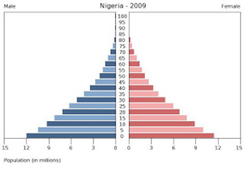
Population Pyramids Lesson and Activity
UPDATED 2023! This product now has an updated version with population data from 2020-2022 for the practice countries. This product will teach students the basics of how to read, understand and analyze population pyramids. The product has a student note piece along with an activity that can be used as an individual assignment or as a cooperative group activity. After students learn how to read a population pyramid they will construct their own using data provided and then analyze the pyramid(s)
Grades:
8th - 12th
Types:
Interactive Notebook - World Cultures and Geography
VIEW COMPANION WORKBOOK FOR THIS RESOURCE AT: http://www.teacherspayteachers.com/Product/COMPANION-WORKBOOK-for-Interactive-Notebook-World-Cultures-and-Geography-990245
This interactive notebook was created to comply with the TEKS (Texas Essential Knowledge and Skills) for 6th grade social studies. It can be used, in whole or in part, in any class where geography and world culture is taught.
This 123 page product will give you an easy to use and follow and FLEXIBLE resource to add to your le
Grades:
3rd - 12th
Types:
World Geography Curriculum
This World Geography Curriculum Bundle includes Google Slides Presentations, Guided Notes, Instructor’s Notes, Worksheets, Activities, Review Sheets, and Tests for every region of the world. The units cover physical geography, human geography, and current global issues for each region. The tests are editable and are included as a Google Doc and as a self-grading Google Form for each unit. They consist of multiple choice, matching, and some short answer questions. The worksheets and activities ar
Grades:
7th - 11th
Types:
Showing 1-24 of 19,381 results


