2,588 results
Adult education geography printables
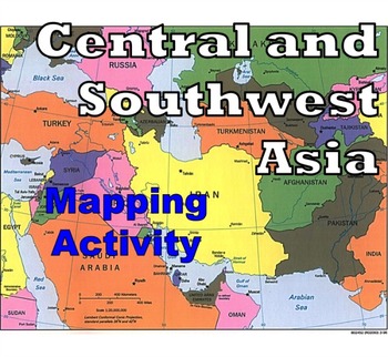
Central and Southwest Asia (Middle East) - Mapping Activity
Map Activity – Central and Southwest AsiaIn this activity, students must locate and identify the countries (and capital cities if so desired) of Central and Southwest (or Middle Eastern) Asia. When students are finished with this, time can be spent coloring in the various countries.Included in this package is a ready-to-copy blackline master map of Central and Southwest Asia along with a separate answer key.This product can also easily be used as a test or quiz.Preview file is available for down
Subjects:
Grades:
4th - 12th, Higher Education, Adult Education
Types:
Also included in: Map Activity Bundle
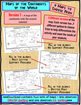
Maps of the Continents of the World For Students to Label and Colour/Color
This download contains 9 maps of the continents of the world (11 x 17 paper) to allow you differentiate your instruction to help meet needs of all students in your classroom as they learn to identify and locate the continents of the world. ***Please note that there are 2 sets of each of the 9 maps – one set observes English Spelling and one set observes U.S. spelling.***This download contains: 1. A map of the continents with the oceans labelled and the continents left blank for students to fill
Subjects:
Grades:
2nd - 7th, Adult Education
Types:
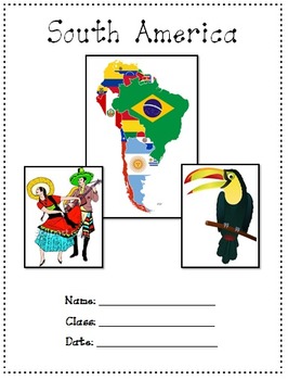
South America A Research project
26.7.2020As digital activities does not support zip file I have transferred the answer with the preview. I then can list the resource as individual PDF in order to convert it to digital activities.South America - A research project is a 15 pages study on South America. Use it as a class test or research project.Download Preview File - Please view America preview file prior to purchasing as the preview is all the resources in this pack. Please ensure that the resource is appropriate for your grad
Subjects:
Grades:
5th - 8th, Adult Education, Staff
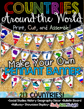
Countries Around the World Classroom Decor Make Your Own Pennant Banner
Worldwide Countries Classroom Decor Make Your Own Pennant BannerGrades K-12 social studies, history, geography, Model UN, global studies, world history Celebrate our world! Teachers can decorate their classrooms, hallway, gymnasium, media center, or anywhere in their building. You'll get 213 pennants to choose from. Pick pennants that represent your student's heritage, ethnicities, backgrounds, ancestry. They are colorful and awesome to look at. The countries pennant will bring enthusiasm and un
Grades:
PreK - 12th, Higher Education, Adult Education, Staff
Also included in: English Teacher Activities and Fun Bundle
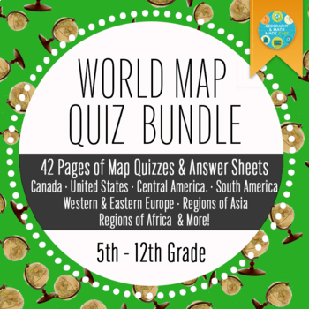
Geography and World History, World Map Quizzes, Quiz Bundle
These 8 pre-numbered maps and 16 quizzes will save you hours upon hours of creation and make preparation for assessing students on geographic locations effortless. Each has been designed with a numbered map, reproducible answer sheet and teacher’s answer key. When the class reaches the larger continents such as Europe, Asia, and Africa, it is suggested that the instructor assess the student in sections or regions before assessing them over the entire continent. This will allow students to learn
Grades:
5th - 12th, Higher Education, Adult Education
Types:
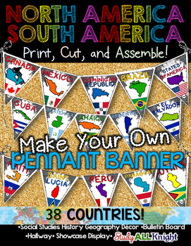
North America South America Classroom Decor Make Your Own Pennant Banner
North America South America Classroom Decor Make Your Own Pennant Banner
Grades K-12 social studies, history, geography, Model UN, global studies, world history
Celebrate our world! Teachers can decorate their classrooms, hallway, gymnasium, media center, or anywhere in their building. You'll get 38 pennants to choose from. Pick pennants that represent your student's heritage, ethnicities, backgrounds, ancestry.
They are colorful and awesome to look at. The countries pennant will bring enthu
Grades:
PreK - 12th, Higher Education, Adult Education, Staff
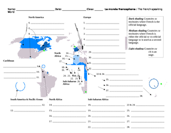
Monde Francophone World Map French-Speaking Countries
Overview: Printable map to label French-speaking countries. Includes answer key. Thirty-seven countries and/or territories listed. Objective: Identify French-speaking countries and territories by labeling a world map.Estimated Time: 10 to 30 minutes (depending on how the teacher would like to enrich it)Suggested/Possible Sequence:1. Students brainstorm or make a list of countries they already know. Teacher verifies student lists.2. Students then use textbooks or maps to identify the countries sh
Subjects:
Grades:
5th - 12th, Higher Education, Adult Education
Types:
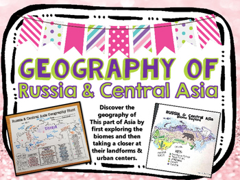
Russia & Central Asia Biome and Geography Hunt
Introduce your unit over RUSSIA with this mapping activity. Students use globes, atlases, and/or the internet to discover more about the geography of this region!
Countries included:
Russia
Kazakhstan
Uzbekistan
Kyrgyzstan
Tajikistan
Turkmenistan
Students create maps over:
-Biomes
-Geography (landforms, countries, bodies of water, urban centers)
**BUNDLE AND SAVE**
check out my bundled GEOGRAPHY MAPS in my TpT store!
SAVE MONEY, and buy ALL THE GEO. HUNTS here:
https://www.teacherspaytea
Subjects:
Grades:
3rd - 12th, Adult Education
Types:
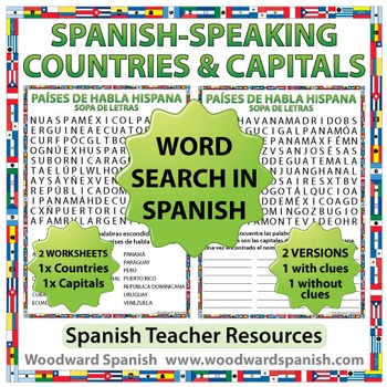
Spanish-speaking Countries and Capitals Word Search
Spanish-speaking Countries and Capitals Word Search
Word Search Worksheets in Spanish about the 21 Spanish-speaking countries and their capital cities.
One worksheet contains the following countries (in Spanish): Argentina, Bolivia, Chile, Colombia, Costa Rica, Cuba, Ecuador, El Salvador, España, Guatemala, Guinea Ecuatorial, Honduras, México, Nicaragua, Panamá, Paraguay, Perú, Puerto Rico, República Dominicana, Uruguay, Venezuela.
Another worksheet contains the following capital cities of th
Subjects:
Grades:
5th - 12th, Adult Education
Types:
Also included in: Spanish Bundle – Spanish-speaking Countries and Capitals
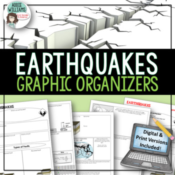
Earthquakes / Faulting Graphic Organizer | Print & Digital
Earthquakes / Faulting Graphic Organizer - A great way for students to organize information on earthquakes and faulting. Instead of asking students to take traditional notes, they fill in the graphic organizer - either as review or instead of standard question and answer in a textbook. Excellent for review or group work. Includes 4 pages of organizers and all answer keys!Also includes a link to a Google™ Slides version of the organizers so students can add text, images, color and more while wo
Subjects:
Grades:
8th - 10th, Higher Education, Adult Education
Also included in: Plate Tectonics / Earthquakes / Volcanoes Organizers | PRINT & DIGITAL
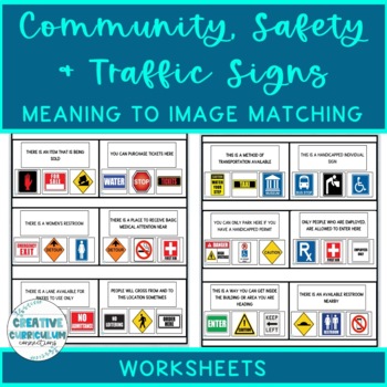
Community, Safety & Traffic Signs Sign Definition to Image Matching Worksheets
For this community instruction based lesson, students are presented with varying community, traffic, or safety signs visually/in word form. Students will work on their functional vocabulary skills by identifying the sign's name and image. Students are asked to review the provided sign meaning or definition and match it to its image, out of an array of three. Students will work on identifying sign based vocabulary words, reading signs, defining signs/understandings purpose and more!There are 15 w
Subjects:
Grades:
1st - 12th, Higher Education, Adult Education
Types:
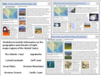
United States - Geography Unit
This product is designed to teach students about the major regions of the United States. I've often found it worthwhile to start any U.S. history course with a quick overview of the geography of the country. These materials are designed to accomplish this within a 1-2 week period depending on how much detail you wish to go into. Included in the file are reading sheets about eight major regions as well as a variety of maps and project materials. Please view the preview sheet for more details
Grades:
8th - 12th, Adult Education
Types:
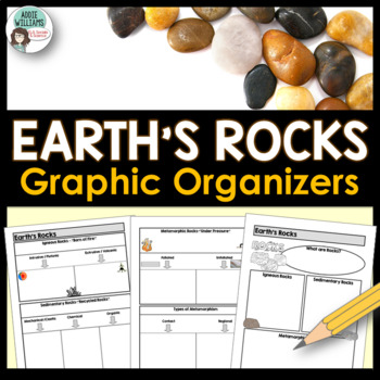
Rock Types Graphic Organizer - Igneous, Sedimentary and Metamorphic
Teaching the different types of rocks? These graphic organizers are a great way for students to learn the differences between igneous, sedimentary, and metamorphic rocks as well as their sub-categories. This resource includes 4 pages of graphic organizers that can be used with notes or while working through a PowerPoint, as review, or for group work. This resource also includes a set of review questions and answer keys.Covers Igneous (intrusive/extrusive), Sedimentary (mechanical/clastic, organ
Subjects:
Grades:
7th - 10th, Adult Education
Also included in: Rocks and Minerals - Types of Rocks, Rock Cycle, Minerals and More!
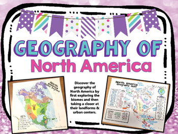
North America Biome and Geography Hunt
Introduce your unit over North America with this mapping activity. Students use globes, atlases, and/or the internet to discover more about the geography of this region!
Countries Included:
U.S.A.
Canada
Mexico
Bahamas
Dominican Rep.
Cuba
Haiti
Belize
Honduras
Nicaragua
Guatemala
El Salvador
Costa Rica
Panama
Greenland
Students create maps over:
-Biomes
-Geography (landforms, countries, bodies of water, urban centers)
**BUNDLE AND SAVE**
check out my bundled GEOGRAPHY MAPS in my TpT store!
Subjects:
Grades:
3rd - 12th, Adult Education
Types:
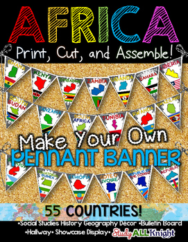
Africa Classroom Decor Make Your Own Pennant Banner
African Countries Classroom Decor Make Your Own Pennant Banner
Grades K-12 social studies, history, geography, Model UN, global studies, world history
Includes:
Ready for you to easily line up by using the directions on how to assemble. The preview shows more!
Includes:
★55 pennant printables – each flag represents a country: the name of the country, the country outline, and their flag.
55 COUNTRIES/ TERRITORIES:
Algeria
Angola
Benin
Botswana
Burkina Faso
Burundi
Cameroon
Cape Verde
Central A
Grades:
K - 12th, Higher Education, Adult Education, Staff
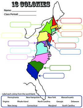
13 Colonies: Student Worksheet/Printable: Map
This can be a single assignment, or you can do what I do. I break this into a three-day assignment that I pair with the three PowerPoints: "13 colonies: southern," "13 colonies-middle," and "13 colonies-New England." All three PowerPoint lessons are for sale. At the end of each PowerPoint/lecture, I have students complete the corresponding part of this worksheet.
13 colonies
colonization
US History
Socials Studies
Exploration
Map
Activity
Homework
printables
worksheet
Label
Southern, Middle,
Grades:
4th - 12th, Adult Education
Types:
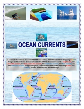
Oceans: Currents and Global Winds (Engaging and Full of COLOR!) Sail the Seas!
Come SAIL THE HIGH SEAS! Image based and cut and paste or laminate and Velcro. Perfect for alternative college prep, special education, and/or autistic students.See preview!AN ADVANCED EL NINO/LA NINA LAB ACTIVITY IS FOUND BELOW FOR ENRICHMENT LEARNING:EL NINO LAB ACTIVITY CLICK HERE-----------------------------------------------------------------------------------------------------------------------------------------------------------A Complete Tutorial on OCEAN CURRENTS and GLOBAL WINDS Loade
Subjects:
Grades:
4th - 9th, Adult Education
Types:
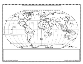
Political World Map (Robinson Projection)
The Robinson projection of the world map is the version that Rand McNally used in their books. This provides a more accurate representation of country size without the confusing nature of an interrupted map, such as the Goode's Projection.
I created this map extra large so that it could be scanned and reduced more accurately, especially when representing the tiny countries. Since this is a hand drawn map, there may be slight errors in the country boundaries, but I have tried to be as accurate a
Grades:
3rd - 12th, Higher Education, Adult Education
Types:
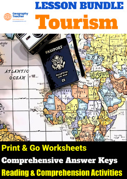
Tourism: Bundle Of 5 Reading Comprehension Lessons (Excellent Value!)
30% discount when you purchase all 5 lessons!*INCLUDES SPECIAL BONUS TEMPLATE PACK FREE-OF-CHARGE*This is an excellent-value lesson bundle of 5 flexible reading comprehension-based lessons based on the 'Tourism' scheme of work.This bundle contains the following lessons:Exploring the Tourist Experience: Sightseeing, Culture, Nature, and Beyond. This lesson delves into various aspects that attract tourists to different destinations, including sightseeing, culture, nature, food, history, relaxation
Grades:
7th - 12th, Higher Education, Adult Education
Types:
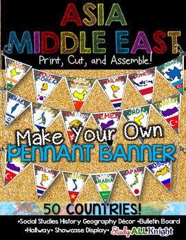
Asia Middle East Countries Classroom Decor Make Your Own Pennant Banner
Asia Middle East Countries Classroom Decor Make Your Own Pennant Banner
Grades K-12 social studies, history, geography, Model UN, global studies, world history
Includes:
Ready for you to easily line up by using the directions on how to assemble. The preview shows more!
Includes:
★50 pennant printables – each flag represents a country: the name of the country, the country outline, and their flag.
50 COUNTRIES/ TERRITORIES:
Afghanistan
Armenia
Azerbaijan
Bahrain
Bangladesh
Bhutan
Brunei
Cambodi
Grades:
K - 12th, Higher Education, Adult Education, Staff
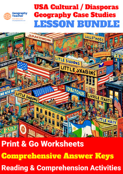
United States Cultural (DIASPORA) Geography Case Studies (14-Lesson Bundle No 4)
Unmissable 30% discount when you purchase all 14 lessons!*INCLUDES SPECIAL BONUS TEMPLATE PACK FREE-OF-CHARGE*This is a great-value lesson bundle of 14 flexible reading comprehension-based lessons based on United States Cultural (Diaspora) Geography Case Studies.Students studying United States Cultural/Diaspora Geography Case Studies will gain a comprehensive understanding of the historical contexts, cultural landmarks, and community dynamics within various ethnic enclaves across urban America.
Grades:
8th - 12th, Higher Education, Adult Education, Staff
Types:
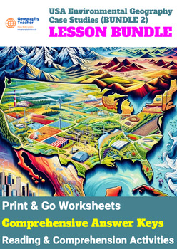
United States Environmental Geography Case Studies (10-Lesson Bundle No 2)
Unmissable 30% discount when you purchase all 10 lessons!*INCLUDES SPECIAL BONUS TEMPLATE PACK FREE-OF-CHARGE*This is a great-value lesson bundle of 10 flexible reading comprehension-based lessons based on United States Environmental Geography Case Studies.When studying the United States Environmental Geography Case Studies, students will gain a comprehensive understanding of key environmental issues and conservation challenges across diverse landscapes and ecosystems. They will explore concepts
Grades:
8th - 12th, Higher Education, Adult Education, Staff
Types:
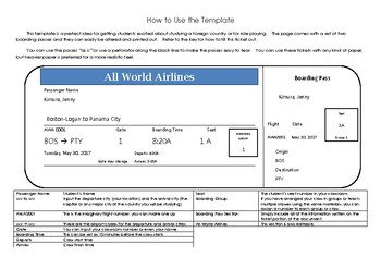
Editable Airline Ticket Template
This template can be used in conjunction with any country study unit or role play. Simply input the student's name and class information and print off the tickets. Comes with two editable tickets per sheet.
Ticket template is an easy-to-use fill in form.
Subjects:
Grades:
3rd - 6th, Adult Education
Types:
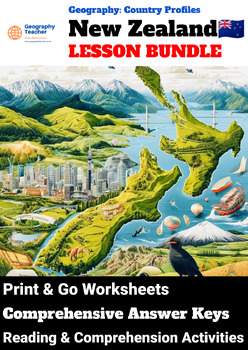
New Zealand Country Study (9-Lesson Geography Bundle)
Unmissable 30% discount when you purchase all 9 lessons!*INCLUDES SPECIAL BONUS TEMPLATE PACK FREE-OF-CHARGE*This is a great-value lesson bundle of 9 flexible reading comprehension-based lessons based on the 'New Zealand: Country Study' geography scheme of work. Studying the Geography syllabus "New Zealand Country Study" offers students a comprehensive understanding of New Zealand's geographical, social, political, economic, and environmental landscapes. In Lesson 1, students gain an introductio
Grades:
8th - 12th, Higher Education, Adult Education, Staff
Types:
Showing 1-24 of 2,588 results


