57 results
Geography laboratories for homeschool
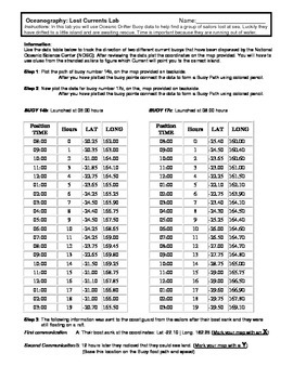
Ocean Currents - Rescue Lab Activity
Ocean Currents - Rescue Lab Activity
This is a fun little Latitude/Longitude Ocean Current activity.
Students plot the path of 2 current buoys to determine the location of a lost ship crew in the Indian Ocean.
This is a crossover science activity - Oceanography - Geography - Graphing.
Usually takes between 30 - 40 minutes.
-----------------------------------------------------------------------------
Other GES Ocean Activity
Ocean Current Introduction
Subjects:
Grades:
6th - 9th
Types:
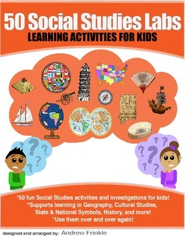
50 Social Studies Labs - Geography History Cultural Studies Economics Government
PREVIEW AVAILABLE!LIKE WHAT YOU SEE? CHECK OUT OTHER STEM RESOURCES IN MY SHOP!FROM THE CREATOR OF 50 STEM LABS & 50 MORE STEM LABS comes this collection of 50 Social Studies Activities for kids. Recommended for grades K to 6 and up! Each one has a snappy title, a brief set of instructions, recommended materials list, and space for notes. These are very adjustable for your classroom, home, or homeschool needs. Do projects for concepts like: Geography, Cultural Studies, Economics, History, G
Grades:
K - 8th
Types:
Mapping Earth & Landforms Unit Bundle | Printable, Digital & Editable Components
Save 40% by purchasing ALL my Mapping Earth teaching materials!Important Notes:• Download a FREE Unit Bundle to learn more about all my products.• Save $$$ with the Earth Science Complete Curriculum• Save $$$$ with the Integrated Science Complete Curriculum• Consider Daily Lessons as an economical alternative to this unit bundle (see below)• This product includes FREE downloads of ALL future Mapping Earth products.**********************************************************************************
Subjects:
Grades:
3rd - 9th
Types:
NGSS:
4-ESS2-2
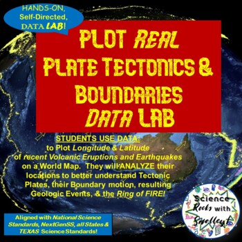
Plate Tectonics & Boundaries PLOT real Earthquakes & Volcanoes DATA LAB
This DATA LAB connects Plate Tectonics and Boundary motion to the ACTUAL Geologic Events they cause-- especially around the Ring of Fire, or Pacific Plate! Students can LABEL the Major PLATES on a World MAP (or Differentiate for ESL/Special Needs students by giving them the MAP with the Plates already labeled- several Included for YOU!) Then, PLOT 18 Latitude & Longitude Points of recent Earthquakes in one color and 18 significant Volcanic Eruptions in another color. They can then-- Color Co
Subjects:
Grades:
5th - 8th
NGSS:
MS-ESS2-2
Punch Ball Balloon Globe ~ Engineering Geography ~ STEM Challenge
Using a punch ball balloon, can your group create an exact model of a globe showing continents, oceans, and lines of latitude and longitude?
We are all about integration in my STEM building and blending social studies with STEM challenges is a great way to make the topics we study in social studies more engaging and interesting for the students. I am currently working on developing more of these social studies based STEM challenges. This one is focused on map skills and geography.
This engi
Subjects:
Grades:
4th - 6th
Types:
Also included in: American History PERSONALIZED STEM Bundle
4-ESS2-2 Latitude and Longitude Lab Activity | Printable, Digital & Editable
About SNAPs Lab Stations ActivitiesSNAPs Lab Stations Activities require students to use science, math, literacy, problem-solving and engineering skills. They are designed to enhance students' understanding of scientific concepts and help students apply scientific ideas to the real world. Each station activity promotes skills so to develop students into proficient and competent scientific thinkers.SNAPs lab activities have five components:• Science Skills Station to develop science skill profici
Subjects:
Grades:
3rd - 6th
Types:
NGSS:
4-ESS2-2
Also included in: Earth Science Lab Stations Bundle | Printable, Digital & Editable
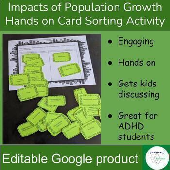
Impacts of Population Growth - Hands on Card Sorting Activity - for High School
Engaging hands on activity to have kids think critically and discuss the impact of human population growth. In part one students will sort a set of cards to determine if the situation described on the card will increase or decrease with the increase of human population. Some of the cards do not have a clear answer. This is intentional to get student’s discussing and backing up their statements with evidence. For example students will decide if the situation card “Number of Plants” would incr
Subjects:
Grades:
8th - 12th
Types:
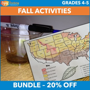
Fall Activities – Social Studies & Science Projects for Fourth & Fifth Grade
Two hands-on activities engage fourth and fifth grade students in social studies and science projects. Kids create fall foliage maps, conduct a chromatography lab, and learn how pigments in leaves change with the seasons. Open the previews to take a closer look at the fall activities bundle.Social Studies Activity – Fall Foliage Map ProjectStudents read a one-page informational text about pigments in leaves. Then they pinpoint causes and effects with a corresponding fall foliage worksheet.They c
Subjects:
Grades:
4th - 5th
Types:
Mapping Earth Lab Stations Bundle | Printable, Digital & Editable
SAVE 30% by purchasing ALL my Mapping Earth Lab Stations Activities!About SNAPs Lab Stations ActivitiesSNAPs Lab Stations require students to use science, math, literacy, problem-solving and engineering skills. They are designed to enhance students' understanding of scientific concepts and help students apply scientific ideas. Each station activity promotes skills so to develop students into proficient and competent scientific thinkers.SNAPs lab activities have five components:• Science Skills S
Subjects:
Grades:
3rd - 9th
Types:
NGSS:
4-ESS2-2
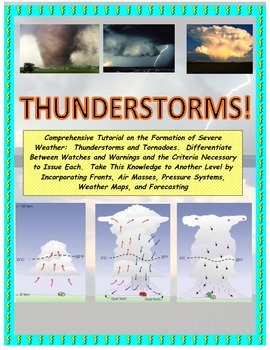
NWS and NOAA Approved! Forecasting: Severe Weather. You're the Weatherman
PROCEEDS BENEFIT "REACH INC."-EMPOWERING ADULTS WITH DISABILITIEShttp://www.reachinc.org-Southern Science Specialists - Chapel Hill, North Carolina-Severe Weather Forecasting: Learn How to Forecast Severe Weather With Real Maps, Data, and NWS Symbols.LOADED WITH COLORFUL IMAGES!Pairs great with the Air Masses and Thunderstorm PowerPoint found on TPT at the link below:CLICK HERE FOR POWERPOINTMore advanced severe weather lab manual and Skew-T tutorial found at the link below:CLICK HERE FOR LAB M
Subjects:
Grades:
4th - 9th, Higher Education, Adult Education
Types:
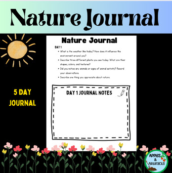
Nature Journal 5 Day Writing Activity
This resource is a five-day nature journal writing activity. This activity gets kids outside observing all of nature's wonders. It is also included in my Earth Day resource. Earth Day ResourceLook for these other related resources in my store:Science and Social Studies Word Wall BundleScience Word Wall and ActivitiesTropical Rainforest Reading Passage and Task Cards BundleTropical Rainforest Task CardsGlobes, Maps, Landforms and Continents BundleGlobes, Maps, Landforms, and Continents Activity C
Subjects:
Grades:
3rd - 8th
Types:
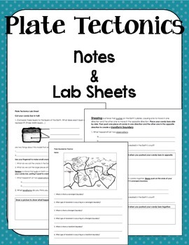
Plate Boundaries Notes and Lab Sheet
This document accompanies my Plate Boundaries powerpoint. It's a basic introduction to the three types of plate boundaries (convergent, divergent, and transform). The packet begins with a map page that accompanies the map in the powerpoint for a Check for Understanding. Then there is a Milky Way Tectonics Lab Sheet and Exit Ticket. This works very well as a packet or can be broken up into separate parts based on preferred teaching style.
Subjects:
Grades:
5th - 9th
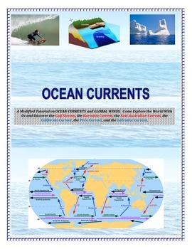
Oceans: Currents and Maps (Come EXPLORE Your World!)
INSERT YOUR NAME HERE! Magellan, Sir Francis Drake, John Cabot, Leif Eriksson, James Cook, Sir Walter Raleigh, Marco Polo, Vasco de Gama, and Columbus.This is a part of the complete ocean current tutorial/lab/activity found below:FULL VERSION CLICK HEREDiscover the Gulf Stream, the Kuroshio Current, the East Australian Current, the California Current, the Peru Current, and the Labrador Current.6 different mapping activities addressing similar content (ocean currents and global winds) in differe
Subjects:
Grades:
4th - 9th, Adult Education
Types:
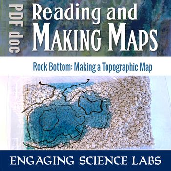
Topographic Maps: Use a Model Landscape to Draw Contour Intervals on Your Map
Quickly shape your own landscape and map its contour intervals. Make your own, accurate topographic maps of mountains, valleys, peninsulas, etc. Easy to reshape and redo and see how different maps correlate to different landscapes. Quicker than most topographical exercises and I love that kids can construct their own without help. Use this to learn and reinforce answers to questions such as:❑ How can we map terrain in three dimensions?❑ What do contour lines on maps show us?❑ What do the differe
Subjects:
Grades:
6th - 8th
Types:
Overfishing AKA "Tragedy of the Commons" - Science in the Environment Lab Series
Why do we have hunting and fishing catch regulations? Why does the government regulate logging and farming industries? The concept of overutilization or “the tragedy of the commons” is fundamental to our modern society. The purpose of this activity is to model resource management, and how regulations and private ownership make resource management possible.
If you like the activity, be sure to rate it!
This is part of a series of activites on Science in the Environment from Mr. Ripps.
This wor
Subjects:
Grades:
7th - 12th, Higher Education, Adult Education
Types:
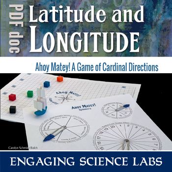
Cardinal Directions Game: Fun Way to Learn North South East West Directions
This is a game to teach cardinal directions: North South East West. A compass rose is on the game board and used as a spinner. Students try to sail their ship across the sea using prevailing winds while tackling numerous obstacles along the way. This game is a fun way to interact and learn the concepts of cardinal directions. Use this to learn and reinforce answers to questions such as:❑ How can we find our way using cardinal points?❑ What is a compass rose and how is it used?❑ What are some of
Subjects:
Grades:
6th - 8th
Types:
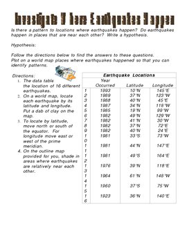
Investigate Where Earthquakes Happen Lab Activity
This is an activity that answers the questions: Is there a pattern to locations where earthquakes happen? Do earthquakes happen in places that are near each other? This activity involves writing a hypothesis and charting on a map various earthquake locations to come up with a conclusion to where earthquakes happen. This activity includes map and answer key.
***This item is also included in the Science CD that I sell separately which includes all of my Science digital products (power points
Subjects:
Grades:
3rd - 9th
Types:
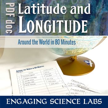
Latitude and Longitude Activity: Map Skills; Finding Locations on a Globe or Map
Using a globe or world map, work your way around the globe finding locations based on longitude and latitude. Match each numbered location with its name and find your way back to your starting port. The activity begins in Greenwich and there's a brief discussion about the history of the Prime Meridian. Optional lab notes are written with middle-schoolers in mind. Use this to learn and reinforce answers to questions such as:❑ How can we locate a place using longitude and latitude?❑ What does a n
Subjects:
Grades:
6th - 8th
Types:

TRUE Box Middle School Ancient Civilizations Social Studies Bundle
TRUE Box Middle School Ancient Civilizations was written by a master teacher! There are 8 units of instruction, consumables, planning, activities, and answer keys in this bundle! If you are looking for a curriculum to supplement or use as your main curriculum....this is it! UNIT 1 -Prehistoric Era and Fertile CrescentUNIT 2 - Ancient EgyptUNIT 3 -Ancient ChinaUNIT 4 - Ancient IndiaUNIT 5 - Ancient GreeceUNIT 6 - Ancient RomeUNIT 7 - Feudal England and EuropeUNIT 8 - European Exploration
Grades:
6th - 8th
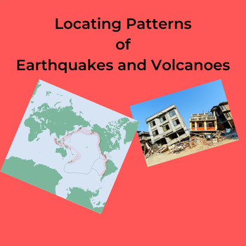
Locating Patterns of Earthquakes and Volcanoes
The students carefully plot, with colored pencils, the location of selected Earthquakes and Volcanoes on a world map showing Divergent and Convergent Plate Boundaries. Page 5 of the NYS Earth Science Reference Tables is needed for this lab. These can be downloaded at: https://www.nysed.gov/state-assessment/reference-tables-earth-science The students further shade in the Plate Boundaries using different colored pencils. Several questions about the plotted map reinforce the idea that Earthqua
Subjects:
Grades:
6th - 12th, Higher Education, Adult Education
Types:
Also included in: Worksheets: Plate Tectonics Bundle
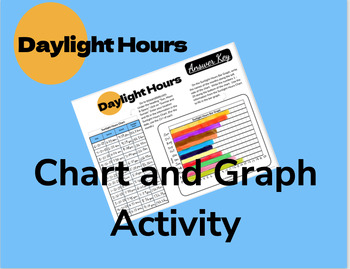
Daylight Hours Chart and Graph Activity
Students chart the daylight hours for one day of each month using information from a webpage. They then use this data to fill in a bar graph. The patterns are very observable and lead to great classroom discussion!An answer key is included, but answers will vary depending on your location.
Subjects:
Grades:
5th - 9th
Types:
NGSS:
MS-ESS2-6
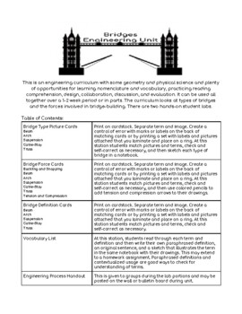
Bridge Engineering Unit
Use hands-on collaborative labs, vocabulary, and three-part cards to learn about types of bridges, tension, compression, loads, dissipation, buckling, and more. Great way to experience the engineering design process and have a rich STEAM experience. This comprehensive set of materials can be used as a complete unit or broken into separate activities. Includes two and three part term, image, and definition cards, vocabulary, two hands-on labs, and supplemental handouts. Can be used over a period
Subjects:
Grades:
4th - 8th
Types:
NGSS:
MS-ETS1-2
, 3-5-ETS1-3
, MS-ETS1-4
, 3-5-ETS1-1
, MS-ETS1-1
...
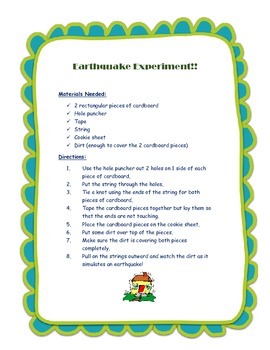
Earthquake Experiment
Make an earthquake using 2 pieces of cardboard, tape, string, & dirt!
Subjects:
Grades:
K - 6th
Types:
DISTANCE LEARNING Carbon Treasures: Radiometric Carbon Dating Activity
In this interactive distance learning activity, students will use their knowledge of radiometric dating techniques to create a Carbon-14 decay graph. This graph will be used, along with accelerator mass spectrometer data provided in the Carbon Treasures slideshow, to determine the absolute age of 10 Pleistocene-era objects. This activity would be great as an introduction to archeology or while discussing absolute vs. relative dating techniques in geoscience. The slideshow is full of interesting
Subjects:
Grades:
9th - 12th
Showing 1-24 of 57 results


