598 results
Geography laboratories for parents
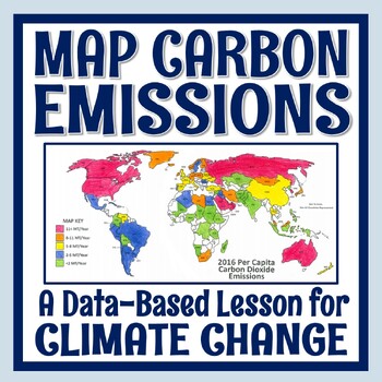
Climate Change Activity Mapping Carbon Emissions NGSS MS-ESS3-5 ESS3-4
Students use real data to color-code a map of 68 countries based on their per capita carbon emissions. In this activity, students will:READ a 1-page article about greenhouse gases, carbon dioxide, what per capita means, and the activity directions. CONSTRUCT a World Map by attaching 2 provided pages (it's easy!).COLOR CODE countries on the map according to their per capita carbon emissions. ANSWER 11 analysis questions focusing on the greenhouse effect, sources of carbon emissions, and how de
Subjects:
Grades:
7th - 10th
Types:
NGSS:
MS-ESS3-5
, MS-ESS3-4
, HS-ESS3-5
, HS-ESS3-4
Also included in: Global Warming Climate Change Activity Bundle NGSS MS-ESS3-5 ESS3-4
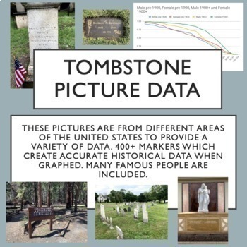
Tombstone Pictures for Cemetery Lab. Human Population Studies
This google drive contains a curated collection of original pictures of 400+ grave markers including some famous people in history, movies and music. I developed this collection over several months of travel. Students will discover historically accurate trends from this data about survivorship for people born before 1900 and after 1900. I have carefully created the collection to provide interest for students and also good data for students to discover trends through inquiry. Use these pictures w
Subjects:
Grades:
9th - 12th, Higher Education
Types:
Also included in: AP Environmental Science Unit 3 Bundle
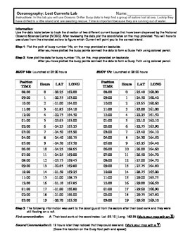
Ocean Currents - Rescue Lab Activity
Ocean Currents - Rescue Lab Activity
This is a fun little Latitude/Longitude Ocean Current activity.
Students plot the path of 2 current buoys to determine the location of a lost ship crew in the Indian Ocean.
This is a crossover science activity - Oceanography - Geography - Graphing.
Usually takes between 30 - 40 minutes.
-----------------------------------------------------------------------------
Other GES Ocean Activity
Ocean Current Introduction
Subjects:
Grades:
6th - 9th
Types:
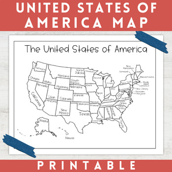
Black and White Map of the United States of America | Coloring Page
This United States of America Map is perfect for your students, homeschoolers, or your own kids when studying geography. These printable USA maps can be used as coloring sheets and classroom decor. This black and white map of the United States of America features each of the 50 states accurately labeled. This map is great to print out, laminate, and hang up in a minimalist or neutral classroom. This product also can serve as a coloring page for students that are learning about the United S
Grades:
Not Grade Specific
Types:
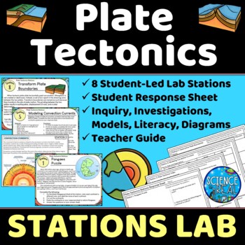
Plate Tectonics Lab Stations - Student-Led Stations Lab
⭐ ⭐ ⭐ ⭐ Student-led lab stations are a great way to get your kids moving and interacting with content in a variety of fun ways! Students will learn, interact, investigate, analyze, and engage with plate tectonics and continental drift! These eight stations focus on plate tectonics, convection currents, sea-floor spreading, continental drift, plate boundaries, types of crust, and tectonic plates. All stations are neatly presented, have easy to understand directions, and require minimal prep from
Subjects:
Grades:
8th - 12th
Types:
NGSS:
MS-ESS2-3
, HS-ESS2-3
, HS-ESS2-1
, MS-ESS2-2
, HS-ESS1-5
Also included in: Earth Science Stations Labs Growing Discount Bundle
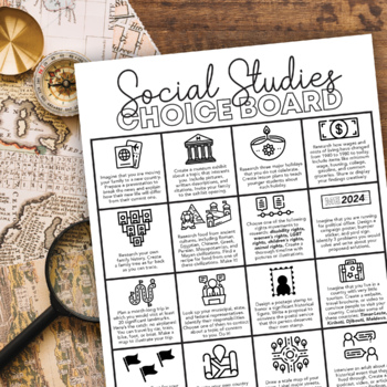
Social Studies Choice Board: Project-Based Independent Learning
Keep their brains active and get them engaged in their learning with this project-based Social Studies choice board! These projects will activate prior knowledge and motivate students to seek out new skills they have not yet mastered.This choice board includes sixteen project choices that involve multiple real-life social studies applications, including:physical geographyculturehistory current eventsgovernment and politicslandmarkssymbologyeconomicsIt's up to you to decide how to use this choice
Subjects:
Grades:
6th - 10th
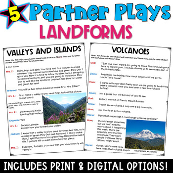
Landforms Partner Plays: 5 Scripts with a Comprehension Check Worksheet
These five landform partner plays are intended to be used as fluency-building activities that second and third grade students can do with a partner. This set of scripts focuses on landforms: hills, mountains, canyons, plateaus, volcanoes, rivers, lakes, valleys, and islands. These scripts require minimal teacher support, thereby allowing teachers to work with other small groups. For teachers who implement reading centers, these plays are perfect. These scripts are also ideal for parents who are
Subjects:
Grades:
2nd - 3rd
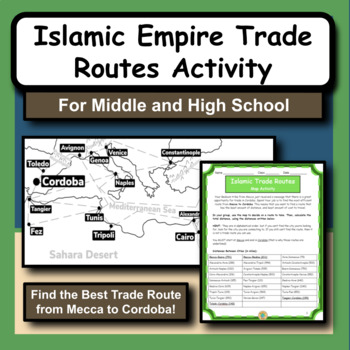
Islamic Empire Trade Routes Map Activity for Social Studies and History
The Islamic Empire is arguably one of the most prominent and influential times of history in the Middle East. As we study the Islamic culture and the rise of the empire, we notice that geography has a huge role in many different aspects.This product gives students the opportunity to practice map and math skills as they try to figure out the best trade route to take from Mecca to Cordoba, Spain. Their goal is to spend the least amount of money possible. The provided maps have all the city locatio
Subjects:
Grades:
5th - 12th
Types:
Also included in: Social Studies and History Large Bundle of 20 Activities and Worksheets
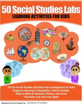
50 Social Studies Labs - Geography History Cultural Studies Economics Government
PREVIEW AVAILABLE!LIKE WHAT YOU SEE? CHECK OUT OTHER STEM RESOURCES IN MY SHOP!FROM THE CREATOR OF 50 STEM LABS & 50 MORE STEM LABS comes this collection of 50 Social Studies Activities for kids. Recommended for grades K to 6 and up! Each one has a snappy title, a brief set of instructions, recommended materials list, and space for notes. These are very adjustable for your classroom, home, or homeschool needs. Do projects for concepts like: Geography, Cultural Studies, Economics, History, G
Grades:
K - 8th
Types:
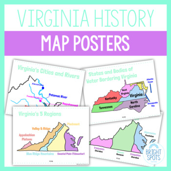
Virginia Studies Map Posters SOL
Print out these colorful posters for your students to visualize the maps of Virginia! Attach them to your Google Classroom or Schoology Courses for students to study during distance learning virtually. These are a great study tool!Posters included:VS.2a Virginia StateVS.2a Virginia on US MapVS.2a Virginia's Bordering States and Bodies of WaterVS.2b Virginia's 5 RegionsVS.2b Virginia's GeographyVS.2c Virginia's Water FeaturesVS.2c Virginia's Cities and RiversVS.2d Virginia's Native American Langu
Grades:
4th - 5th
Types:
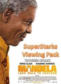
Mandela: Long Walk to Freedom Viewing Guide
A key part of holding students' attention and keeping them interested in class is relevance. The 2013 film Mandela: Long Walk to Freedom is a Social Studies teacher's dream! It's new, exciting, AND uber-educational! YAY!
Here's my tried and true viewing guide pack for the film. It includes student questions to answer during the film (in order), teacher notes (answers and lets you know when to hit FastForward due to some intimate moments), a permission slip to send home to parents, and a refle
Grades:
7th - 12th
Social Studies Fair Projects: A Step-by-Step Guide
Social studies fair projects encourage students to think critically about some aspect of our world and society. They must complete research and explore a topic in a scientific way. Furthermore, the project asks students to synthesize, integrate, and apply the skills they have also learned in ELA, math and social studies.This packet by Suzanne Buras provides teachers, students, and parents with a step-by-step guide to complete a social studies fair project. The packet covers the types of projec
Subjects:
Grades:
Not Grade Specific
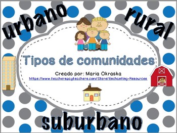
Tipos de comunidades (urbano, suburbano, rural)
Enséñeles a sus estudiantes sobre los diferentes tipos de comunidades con este producto.
Este producto incluye:
* 3 tarjetas de vocabulario (palabra y definición)
* 3 tarjetas de vocabulario (palabra y dibujo)
* 1 actividad de cortar y pegar las comunidades
* 1 “foldable” (plegable) para las palabras de vocabulario
* 1 actividad de dibujar entre círculos los diferentes tipos de comunidades
* 1 actividad de escritura (escribir y dibujar sobre su comunidad)
* 1 actividad de escritura (escribir y
Subjects:
Grades:
K - 2nd
Types:
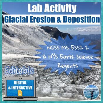
Glacial Erosion and Deposition | Digital & Editable Lab Activity | NGSS
In this Google Slides™ digital lab activity, the students will explore the effects of glaciers on landscapes. They will learn about the characteristic erosional and depositional landforms formed by glaciers such as striations on the bedrock, U-shaped valleys, drumlins, glacial erratics, finger lakes, moraines, kettle lakes, and outwash plains. This resource focuses on evidence of glacier erosion and deposition in New York State. This is an interactive lab activity with drag & drop features,
Subjects:
Grades:
8th - 10th
Types:
CCSS:
NGSS:
MS-ESS2-2
, HS-ESS2-2
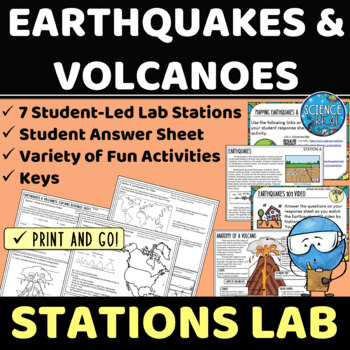
Earthquakes and Volcanoes Lab Stations
⭐ ⭐ ⭐ ⭐ Student-led lab stations are a great way to get your kids moving and interacting with content in a variety of fun and engaging ways! Students will learn, interact, and engage with new content of earthquakes and volcanoes! These seven stations focus on volcanic and earthquake activity, parts of a volcano and earthquake, seismic waves, types of volcanoes, mapping volcanoes and earthquakes, and more! All stations are neatly presented, have easy to understand directions, and require minimal
Subjects:
Grades:
8th - 12th
Types:
NGSS:
MS-ESS3-2
, HS-ESS2-1
Also included in: Earth Science Stations Labs Growing Discount Bundle
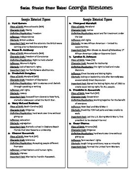
Georgia 3rd Grade Social Studies GA Milestones Study Guide
All content for 3rd Grade Georgia Social Studies has been packed into this 4-page study guide. I give this to students a couple of weeks before the test so they can review all content taught for the entire year!
I UPDATED this file to include blanks so you can fill in your own local government information! :)
Grades:
2nd - 4th
Mapping Earth & Landforms Unit Bundle | Printable, Digital & Editable Components
Save 40% by purchasing ALL my Mapping Earth teaching materials!Important Notes:• Download a FREE Unit Bundle to learn more about all my products.• Save $$$ with the Earth Science Complete Curriculum• Save $$$$ with the Integrated Science Complete Curriculum• Consider Daily Lessons as an economical alternative to this unit bundle (see below)• This product includes FREE downloads of ALL future Mapping Earth products.**********************************************************************************
Subjects:
Grades:
3rd - 9th
Types:
NGSS:
4-ESS2-2
Me on the Map Student Book
This activity supplements a unit on communities. After learning about different communities and where you are on the map, the students create their own book showing where they are on the map. This activity is supposed to be completed after reading the story, Me on the Map. This lesson is geared for a class that reside in Illinois.
Unfortunately, with my busy schedule, I will not have time to make other editions and modifications upon request. However, I have posted another version with all the
Grades:
PreK - 2nd
Types:
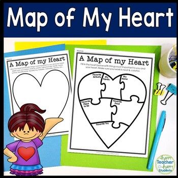
Map of My Heart Template | 5 Heart Options | Use as Writing or Drawing Activity
This Map of My Heart activity can be used in many ways! Use this Heart Map for writing and/or drawing so your students can show you what is most important to them. This is a perfect back to school Getting to Know You activity, use as an introduction to a Mapping unit, or even as a Valentine’s Day activity. This Map of My Heart is geared towards Kindergarten, 1st, 2nd, 3rd & 4th grade students, but may be used at any age as the teacher deems relevant.Multiple Heart options are included. Pick
Subjects:
Grades:
1st - 5th
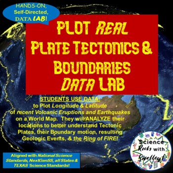
Plate Tectonics & Boundaries PLOT real Earthquakes & Volcanoes DATA LAB
This DATA LAB connects Plate Tectonics and Boundary motion to the ACTUAL Geologic Events they cause-- especially around the Ring of Fire, or Pacific Plate! Students can LABEL the Major PLATES on a World MAP (or Differentiate for ESL/Special Needs students by giving them the MAP with the Plates already labeled- several Included for YOU!) Then, PLOT 18 Latitude & Longitude Points of recent Earthquakes in one color and 18 significant Volcanic Eruptions in another color. They can then-- Color Co
Subjects:
Grades:
5th - 8th
NGSS:
MS-ESS2-2
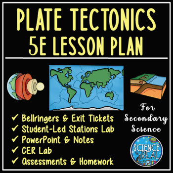
Plate Tectonics 5E Unit Plan - Secondary Science
⭐ ⭐ ⭐ ⭐ Save over 30% off! After completing this 5E Plate Tectonics unit, students will be able to describe and demonstrate how plate tectonics causes major geologic features such as volcanoes, mid-ocean ridges, trenches, and mountains, types of plate boundaries, and how convection currents move and shape the lithosphere. This lesson plan follows the 5E method: Engagement, Exploration, Explanation, Elaboration, and Evaluation, and facilitates student-led learning with minimal prep time. This uni
Subjects:
Grades:
8th - 12th
Types:
NGSS:
HS-ESS2-3
, HS-ESS2-1
, MS-ESS2-2
, HS-ESS1-5
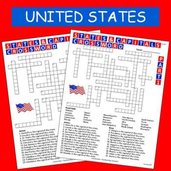
States & Capitals Crossword Part 1 of 2 FREE
This is part 1 of my States & Capitals Crossword worksheet set. Part 2 is also available on TPT. I use these as review and homework assignments. Answer key included. Two versions, one version has a word bank the other version does not.See also:States & Capitals Crossword Part 2 of 2
Subjects:
Grades:
4th - 8th
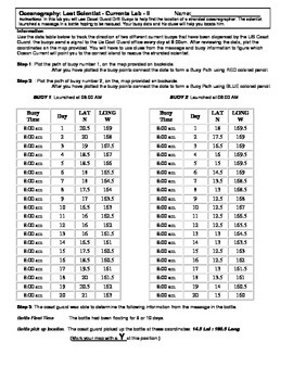
Ocean Currents - Lost Scientist - Current Lab II
Ocean Currents - Lost Scientist - Current Lab II
Updated 5-5-16
This is a fun little Latitude/Longitude Ocean Current activity.
Students plot the path of 2 current buoys to determine the location of a lost scientist in the Pacific Ocean.
This is a crossover science activity - Oceanography - Geography - Graphing.
Usually takes between 30 - 40 minutes.
This activity is similar to "Ocean Currents - Rescue Lab Activity"
-Seen Here-
Subjects:
Grades:
6th - 9th
Types:
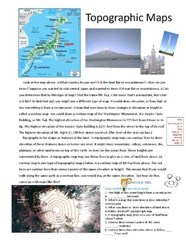
Play Doh Mountain - Topographic Maps -content reading, lab, and activities
Great resource for teaching topographic maps. Student-led lab…. constructing a playdough mountain and contour map. Reading content along with unscrambled words, a crossword puzzle and land feature/ contour map match for evaluation. Makes teaching topographic maps fun!
Vocabulary addressed:
Topography, contour map, topographic map, contour interval, elevation, depression, hachure line, v-shaped contour line, sea level.
Subjects:
Grades:
4th - 6th
Types:
Showing 1-24 of 598 results

