Plate Tectonics & Boundaries PLOT real Earthquakes & Volcanoes DATA LAB
- Zip
Description
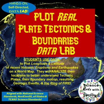
This DATA LAB connects Plate Tectonics and Boundary motion to the ACTUAL Geologic Events they cause-- especially around the Ring of Fire, or Pacific Plate!
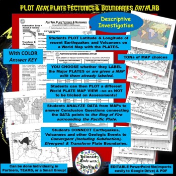
Students can LABEL the Major PLATES on a World MAP (or Differentiate for ESL/Special Needs students by giving them the MAP with the Plates already labeled- several Included for YOU!) Then, PLOT 18 Latitude & Longitude Points of recent Earthquakes in one color and 18 significant Volcanic Eruptions in another color.
They can then-- Color Code a different World MAP with Plate outlines-- that has a different Earth Viewpoint-- as Assessments LOVE to trick them with South America or Australia in the center of the Map- instead of Africa. YOU have tons of different MAPS to choose from, some with Plates Labeled, some with different vantage points of Earth, and some in COLOR for you to use to PROJECT & Model Plotting the DATA points.
RESULTS questions lead students to DISCOVER for THEMSELVES-- how the more Plates meet in an area-- the more likely it is for Geologic Activity like Volcanoes and Earthquakes to occur. CONCLUSION questions connect Plate Boundary movement to the kinds of Geologic Events they cause; AND that surrounding the Pacific Plate-- are MANY Plate Boundaries-- causing LOTS of Geologic Activity-- aptly named The RING OF FIRE.
This DATA LAB can be done:
- Individually, in Partners, TEAMS, or in a Small Group or Review Station.
- Sample COLOR ANSWER KEY is included.
- CLEAR, 1 page- Teacher Instructions & Suggestions for USE are included.
- in Scientific Method Format- this is a Descriptive Investigation & includes no HYPOTHESIS, but Purpose, Materials, Procedure, DATA, Results MAP, Results Questions, & Conclusions
File Types:
- editable PowerPoint (easily uploaded and converted to a Google Drive Slideshow)
- Adobe PDF
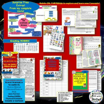
I am including INCREDIBLE Surprise EXTRAS from my different complete Units. Maybe you will enjoy them and allow me to PLAN a complete Unit for you!
I hope this helps YOU to ROCK the Science in YOUR CLASSROOM!
Sincerely, Jana-- Science Rocks with Smalley!
*Feel free to email me with any questions or issues- janajsmalley@gmail.com
as I cannot see your email when you Question or Comment on the website. I can help MUCH faster by email:)


