275 results
Geography outlines for homeschool
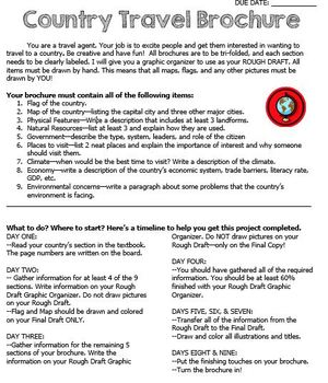
Country Travel Brochure Project
This is a fun project activity where students create a travel brochure for a chosen (or teacher-assigned) country. This project works well because the students know exactly what information that they need and where to put it on the brochure. It makes researching so much easier for everyone! There are directions, a brainstorm sheet, and a rough draft graphic organizer. I like the students to complete the final draft on large white construction paper, but the rough draft graphic organizer could be
Grades:
4th - 12th
SOLAR & LUNAR ECLIPSE 2024 ACTIVITY KINDERGARTEN HATS CRAFT SUN MOON EARTH CROWN
SOLAR AND LUNAR ECLIPSE CRAFTS: HAT CRAFTS OF THE SUN, EARTH AND MOON IN COLOR AND BLACK AND WHITEAre you looking for fun eclipse activities to engage young learners and help them better understand what goes on during an eclipse? This crafts pack is a must have! It contains three hat templates of the sun, Earth and moon, both in color and bw. These hats/ headbands could also be used throughout the rest of the year for other science lessons!Kids will love making and wearing these hats for ecli
Subjects:
Grades:
PreK - 2nd
Types:
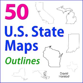
GEOGRAPHY | 50 U.S. State Maps Outlines (K-12)
GEOGRAPHY | 50 U.S. State Maps Outlines (K-12). Map outlines for all American occasions: history, physical, political, or specialty. Ideal for reports, labeling, or patriotic projects. Unfortunately, maps will not create a scaled puzzle. Preview same as Download.About the collection:Files are 8.5" x 11" in PDF & PNG. Product purchase is for organizational services. Maps are compiled from various free online sources and clarity is not always consistent. Please view Preview to see if maps mee
Grades:
K - 12th
Types:
Also included in: Top 20 Best Sellers
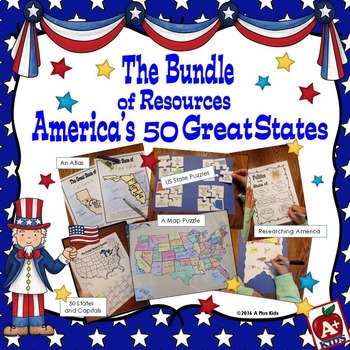
The Bundle of America's 50 Great States
This gigantic bundle is an awesome addition to your US states unit. Five separate resources are all contained in the bundle. Your kids will have fun with the activities, have knowledge of state facts and geography, learn the state capitals, and have a spatial awareness of where states are located on a US map.Most of the bundle is print-and-go with the exception of puzzles that must be cut out. Two map puzzles of the United States are included giving you a choice of two sizes.For a better look a
Subjects:
Grades:
3rd - 6th
Types:
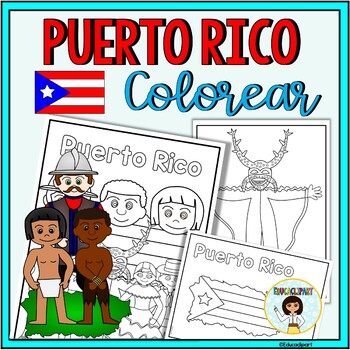
Puerto Rico
This is a .pdf file with 12 coloring pages. It include all pages shown on the preview. The images are:1. Puerto Rico cover coloring page2. Flag - La bandera3. Map - el mapa de Puerto Rico4. Flag in map form - bandera con la forma del mapa5. Race - nuestra raza6. Old San Juan "La garita"7. National flower "La maga" - Flor "La maga"8. Music instruments - instrumentos musicales9. National dance "La plena" dancers10. National dance " La bomba" dancers11. "Vejigante"12. "Vejigante" mask - máscara ve
Subjects:
Grades:
PreK - 12th
Also included in: Puerto Rico Coloring Bundle
VETERANS DAY CRAFT CROWN ACTIVITY HAT TEMPLATE CRAFTIVITY KINDERGARTEN HEADBAND
VETERANS DAY CRAFT FOR KINDERGARTEN, 1ST GRADE AND MORE (NOVEMBER CRAFT ACTIVITY)Are you looking for fun 'Veterans Day' activities? You've come to the right place! Kids will love making and wearing this hat on 'Veterans Day'! This resource contains a cute hat template, both in color and bw. Simply choose the most adequate template for your class (color/ bw), print and go! Children can look at the colored template to color their own hat. After the kids have colored their hat, cut out and sta
Subjects:
Grades:
PreK - 3rd
Types:
Also included in: MAY CRAFT KINDERGARTEN CROWN HAT ACTIVITY COLORING PAGE HEADBAND ART
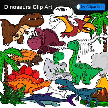
Dinosaurs Clip Art Commercial use
Cute Dinosaur Clip Art Commercial use/ Dino Clipart includes: fern * dino egg* volcano* Bones with skull Dinosaur* bone *dinosaur skeleton* ankylosaurus* apatosaurus* ichthyosaurus* pterodactyl* stegosaurus* triceratops* tyrannosaur* tyrannosaurus rex *tyrannosaurus rex.Download preview with free clipart inside license included!All18 png files transparent background+jpgand 17 png black-white coloring outlines files+jpgFor personal and small commercial use!!!! See more animals clipartDinosaurs of
Grades:
PreK - 12th, Higher Education, Adult Education, Staff
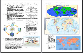
World Geography End-of-Course (EOC) STAAR Review Guide Study Sheet
This 19-page, STAAR aligned TEKS, review guide covers most of the basics of physical and human geography. It is an excellent resource in preparation for the World Geography STAAR End-of-course exam which all freshman in the state of Texas will be taking this year.
Grades:
9th
Types:
Informational Research Report -- My State
Resources and materials to write a research report about your state! Includes a complete sample report all about Michigan.Includes:Drafting Paper/Illustration PaperA Complete Sample Text (about Michigan)Pre-writing Graphic OrganizersAn internet resource list for kidsOutline Maps for All Fifty States!!**Take a look at the preview to see what is included!!See my other product on Informational Writing:http://www.teacherspayteachers.com/Product/Writing-Informational-Text-Common-Core-AlignedPlease l
Grades:
3rd - 5th
Types:
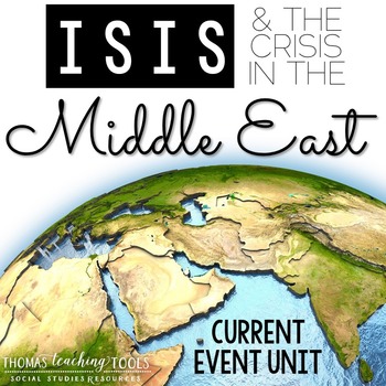
ISIS (ISIL or IS) Unit with PowerPoint, Notes, & Activities {EDITABLE}
This unit introduces students to ISIS (IS, IL, IS, Daesh). The editable PowerPoint provides the history of the terrorist organization, covers the geographic region of Iraq and Syria, and analyzes the current situation. Everything is editable, so you can continue to revise the files to suit your timeline/age group and as the situation in the Middle East and around the globe evolve. This current event unit is intended for use with middle and high school students.
***Information is current thro
Grades:
7th - 12th
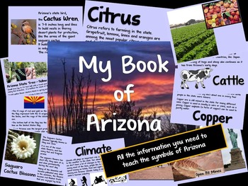
Arizona Information Guide
Need help teaching the symbols of Arizona? Here is all the information you need.Guide includes information on the state flag, tree, flower, bird and the 5 C's of Arizona (cattle, citrus, climate, copper and cotton).Don't forget to download the student booklet! Check out my store, Making Mountains Out of Molehills.
Subjects:
Grades:
K - 2nd

North Korea, nuclear weapons and Presidents Trump and Biden
At this point, (May 2020) 128 teachers have purchased this product. The power point reviews Korean history for 20 slides, deals with the nuclear weapon crisis for 50 slides and includes statements by President Trump and others for 20 slides. A 6 sided note sheet goes along with the power point. The power point includes many maps, charts, editorial cartoons and provocative questions and, therefore, lends itself to students assessing the slides in pairs or triplets. After processing the power p
Subjects:
Grades:
9th - 12th, Adult Education
CCSS:
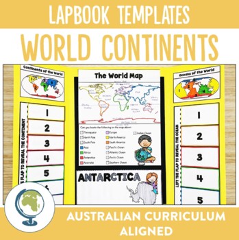
Continents of the World Lapbook Templates
What fun and innovative way are you exploring the Continents of the World this year? Why not try these lapbooks? They make a cute and engaging addition to any unit studying our worlds continents, as well as providing comprehension and note-taking practise for your students.Through these lapbooks students will explore:☆ Identification of the 7 continents of the world, ☆ Identification of the 5 oceans of the world, ☆ Mapping Skills, ☆ Individual continent research If you liked the look of this res
Subjects:
Grades:
2nd - 4th
Types:
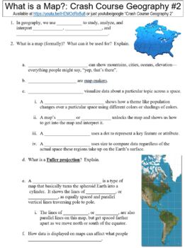
Crash Course Geography #2 (What is a Map?) worksheet
This is a zip file that contains a Microsoft Word worksheet (along with a PDF version) to accompany the crash course video for Geography #2. Answer key is included as well.By purchasing this file, you agree not to make it publicly available (on websites, etc.) or to share with any other teachers. It is intended for classroom use only. You may, however, post it on learning management systems such as Google Classroom as long as the file is only accessible to students and not to any outside sourc
Subjects:
Grades:
9th - 12th, Higher Education, Adult Education, Staff
Types:
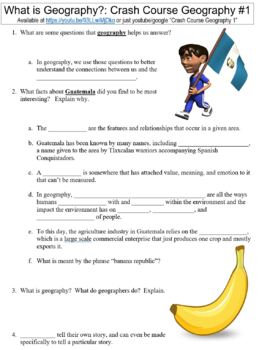
Crash Course Geography #1 (What is Geography?) worksheet
This is a zip file that contains a Microsoft Word worksheet (along with a PDF version) to accompany the crash course video for Geography #1. Answer key is included as well.By purchasing this file, you agree not to make it publicly available (on websites, etc.) or to share with any other teachers. It is intended for classroom use only. You may, however, post it on learning management systems such as Google Classroom as long as the file is only accessible to students and not to any outside sourc
Subjects:
Grades:
9th - 12th, Higher Education, Adult Education, Staff
Types:
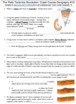
Crash Course Geography #19 (The Plate Tectonics Revolution) worksheet
This is a zip file that contains a Microsoft Word worksheet (along with a PDF version) to accompany the crash course video for Geography #19. Answer key is included as well.By purchasing this file, you agree not to make it publicly available (on websites, etc.) or to share with any other teachers. It is intended for classroom use only. You may, however, post it on learning management systems such as Google Classroom as long as the file is only accessible to students and not to any outside sour
Subjects:
Grades:
9th - 12th, Higher Education, Adult Education, Staff
Types:
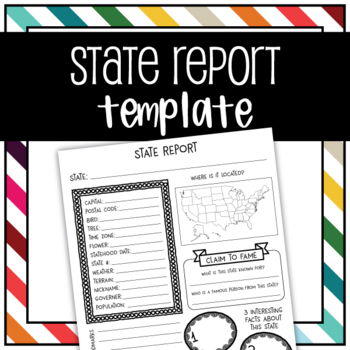
United States State Report Graphic Organizer Template
Use this graphic organizer to research a state.Record your chosen states population, location, landmarks, interesting facts, tree, flower, bird, terrain, historical events, and more in an organized way.
Subjects:
Grades:
1st - 5th
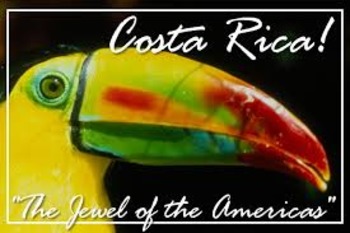
Costa Rica - history, culture, ecotourism, health, peace and democracy
PURA VIDA!!! Fourty- eight teachers have bought this product which I updated May 2020. In comparison to many of my other 75 products (ISIS, Nuclear Proliferation, Syria, etc.), this power point will bring you lots of smiles. Costa Rica is truly a unique country, and one which has a lot to teach us. This is a country which has literacy rates and life expectancy equal to Europe. It is a country which, aside from gasoline, is almost completely powered by renewable energy. It has no army, and
Subjects:
Grades:
7th - 12th, Adult Education
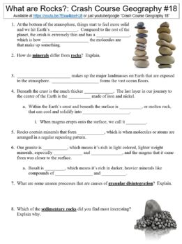
Crash Course Geography #18 (What are Rocks and How do they Form?) worksheet
This is a zip file that contains a Microsoft Word worksheet (along with a PDF version) to accompany the crash course video for Geography #18. Answer key is included as well.By purchasing this file, you agree not to make it publicly available (on websites, etc.) or to share with any other teachers. It is intended for classroom use only. You may, however, post it on learning management systems such as Google Classroom as long as the file is only accessible to students and not to any outside sour
Subjects:
Grades:
9th - 12th, Higher Education, Adult Education, Staff
Types:
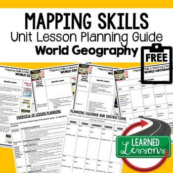
Mapping Skills Lesson Plan Guide for World Geography, Back To School
Mapping Skills Unit Lesson Planning, Mapping Skills Lesson Plan Guide, World Geography Lesson Planning Guide, Mapping Skills Pacing GuideThese lesson plan guides provide links to activities that support each component of the lesson cycle. The is also a pacing guide for the unit and course. There is an overview breakdown of how to plan a lesson and a lesson plan template to help get you organized. Also part of in WORLD GEOGRAPHY MEGA BUNDLE & MAPPING SKILLS BUNDLE. World Geography Lesson Pl
Subjects:
Grades:
6th - 12th
Types:
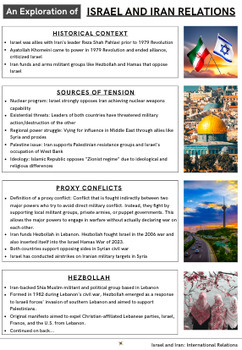
Four Handouts on Hamas in the Gaza Strip, Iran and Hezbollah
11-page Middle East Geopolitics Bundle. Looking for a wealth of information related to the 2023-24 Israel Hamas War in Palestine's Gaza Strip? Check out these 3 handouts plus an additional free one.Handout 1: Understanding Hamas: History, Actions, and ImpactAfter Hamas's attack on Israel in October 2023, it's essential for students to understand who Hamas is and its implications for the Middle East. This handout offers a thorough exploration of Hamas, from its founding during the First Intifada
Grades:
6th - 12th
Geography | 110 Maps | USA & World Outlines (K-12)
Geography | 110 Maps | USA & World Outlines (K-12).Travel the world from the luxury of a school desk and be the envy of Columbus himself. Maps for all social studies occasions: USA, world, ancient cultures, history, physical, political, and specialty.• Maps 8.5x11" in PDF & PNG. (Resize PNG images or outline in Sharpie for any blur issues.) Maps sold "as is".• Career-long maps travel nicely bewteen grade levels.• Outline format allows for teaching geography your way.This listing is part
Grades:
K - 12th
Types:
Also included in: ELA Bundle (4-6th)
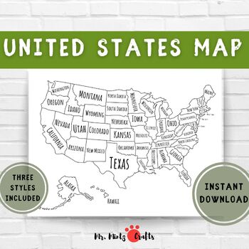
United States Map Coloring Page Printable | US Map for Coloring for Kids
Looking for an engaging and educational tool for your child? Look no further than this exciting outline map of the United States! Designed to make learning about the geography of the US a fun experience, this map can be used by children of all ages to explore and learn about the different states. Let your child use their imagination to color and label each state, providing them with an interactive and hands-on learning experience.But that's not all! This map can be used in a variety of education
Subjects:
Grades:
PreK - 2nd
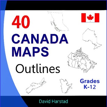
Canada Geography, History, Projects - 40 Canada Map Outlines (K-12)
Canada Geography, History, Projects | 40 Canada Map Outlines (K-12). More exciting than Tim Hortons' soup of the day. Map outlines for all Canadian occasions: statistics, physical, political, and provinces. Ideal for reports, labeling, or patriotic projects. Teach geography your way! About the collection: Maps 8.5" x 11" in pdf & png. Resize png images or outline in Sharpie for any blur issues. Maps sold "as is". Product purchase is for organizational services and maps are compiled in go
Grades:
K - 12th
Types:
Showing 1-24 of 275 results


